Ragged Mountain, SRKG 9
I’ve hiked over Ragged Mountain in both directions on SRKG Trail 9 multiple times. It is one of the more difficult trails of the Sunapee-Ragged-Kearsarge Greenway, but one of my favorites.
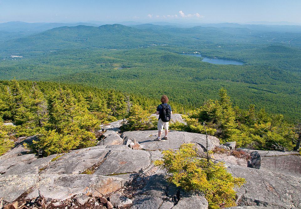
Here is a view of Ragged from Mount Kearsarge, my long-time most favorite mountain of the Greenway. The lake to the right is Bradley Lake. Proctor Academy can be seen, barely, between Ragged and Bradley. This photo was taken in 2009 from a short way down the Barlow Trail. That is my grandson in the photo. We hiked Kearsarge together every year for 20 years, and he lives in the Midwest. Mount Kearsarge is the only one of the three SRKG peaks without a ski area.
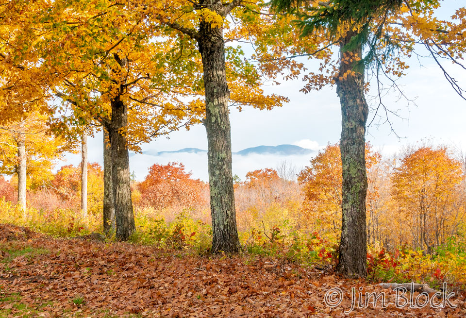
Ragged can also be seen from the Winslow State Park picnic area part way up Kearsarge. Here it is in early fog mid-September, 2014.
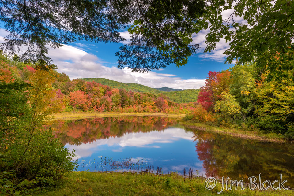
There is a nice spot along the Blackwater River with a distant view of the summit of Ragged Mountain. This photo was taken in early October, 2016.
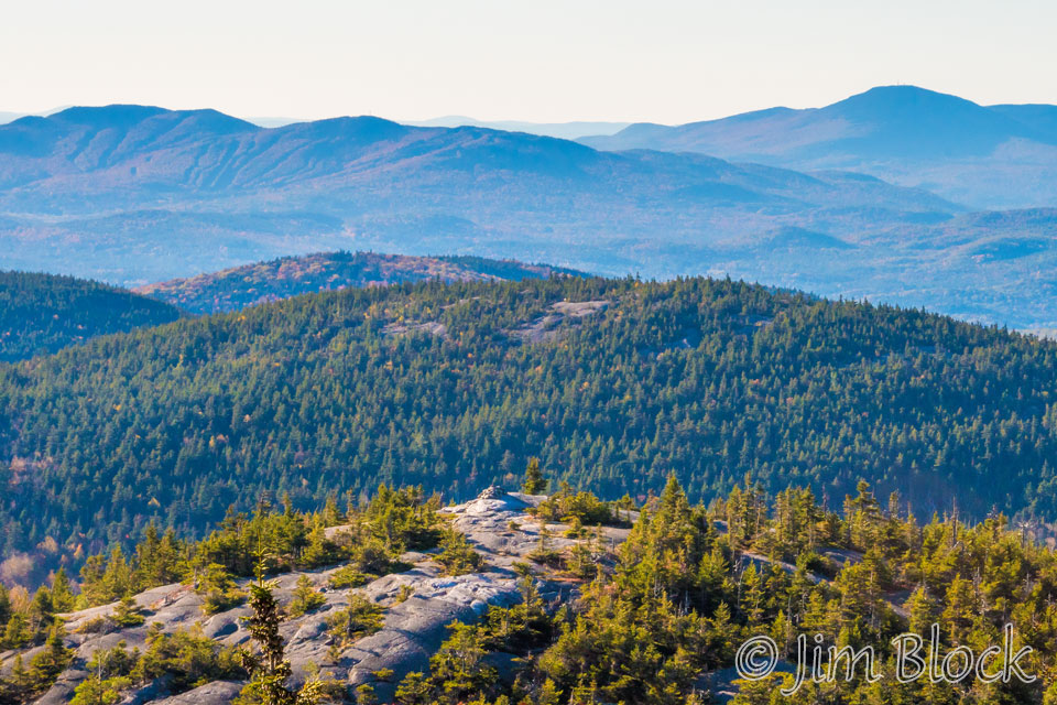
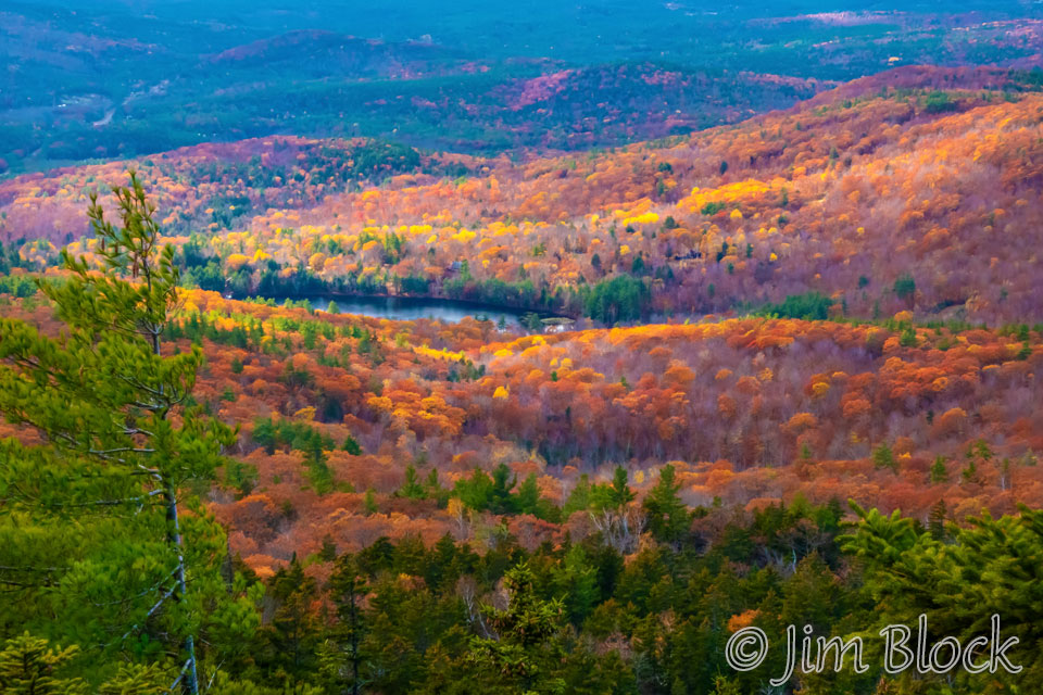
Ragged Mountain and the ski area is on the left and Mount Kearsarge is to the right in the distance in this October, 2017 photo from Mount Cardigan. In the foreground is South Peak of Cardigan. Above it is Orange Mountain, also known as Mount Gilman.
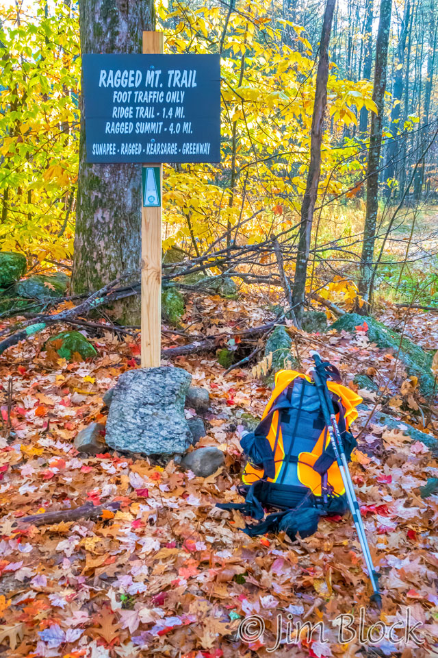
One can hike SRKG 9 starting from New Canada Road in Wilmot, for a 6.1 mile hike with 1400 feet of climbing along the trail to Proctor Academy. If you start at the trailhead near the Field House of Proctor Academy in Andover, there are 1,800 feet of elevation gain along the trail. (These are the numbers from the SRKG Trail Guide. When I hiked it most recently, the GPS on my phone recorded 6.7 miles with 1667 ft of elevation gain and 2162 ft of elevation loss starting from New Canada Road.)
In late-October 2019, six of us hiked SRKG Trail 9 from New Canada Road over Ragged Mountain led by Anne. It was a beautiful fall day, partly cloudy, with very little wind, and nearly perfect temperatures around 50 F.
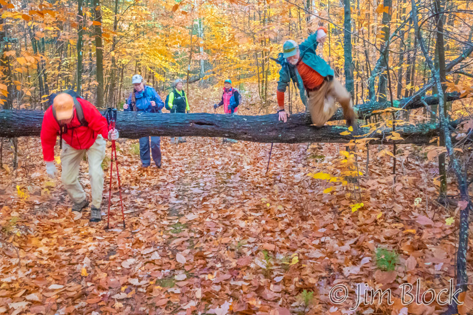
Matt brought a battery-powered chain saw, and we did a bit of trail clearing.
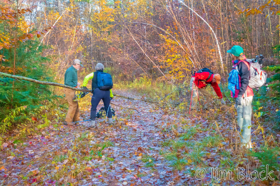
But this tree would have drained the battery, so be practiced our over and under techniques.
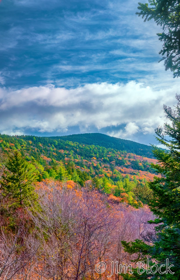
A bit over an hour into the hike we got a view of where we were heading. Fifteen minutes later we got out first view of Mount Kearsarge in the distance in the photo on the right below.
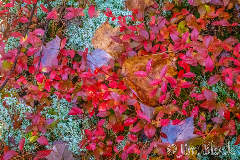
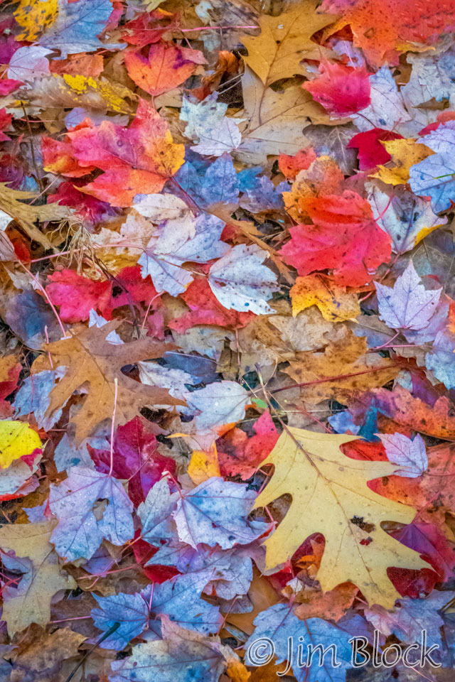
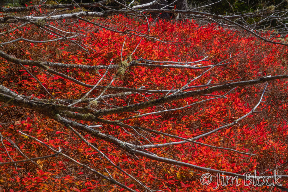
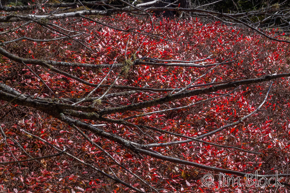
When foliage is in the shade or the sun is behind a cloud, its colors really shine, as seen in the photo above.
I took a pair of photos to show my photo classes, to demonstrate how a polarizing filter cuts glare. People often don’t notice how much glare there is when looking at foliage. A polarizer can do an amazing job of letting the true foliage colors come through, as seen in the photo on the right below.
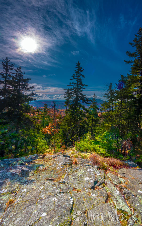
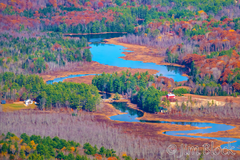
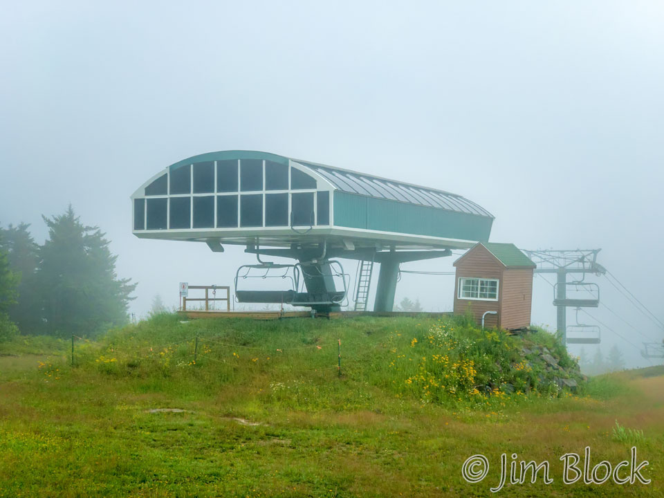
We reached the top of the Ragged Mountain ski area chair lift, and I hiked down a ski trail a bit and got this view of Danbury Bog. This was the first time I saw it from Ragged.
We had an early lunch near the ski hut and then proceeded down the trail toward Proctor. But we were not yet at the actual summit so, after some downhill, we were soon climbing again.
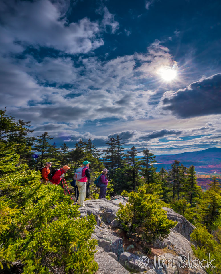
Just past the actual summit we got to a great lookout spot. Here we are with a view of Mount Kearsarge.
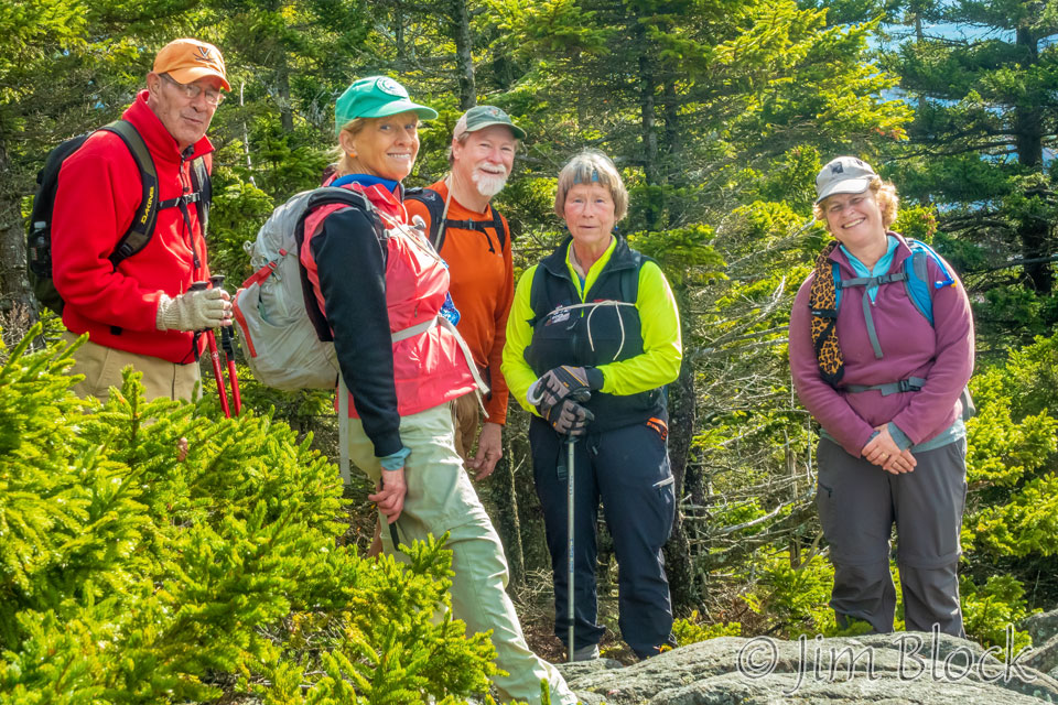
I used this opportunity to get a photo of our group. Left to right are George, Anne, Matt, Sooze, and Elaine
From this spot we also got a view of Cole Pond, owned by the Ragged Mountain Fish and Game Club.
Here are some more of the photos I took on this great hike over Ragged Mountain.


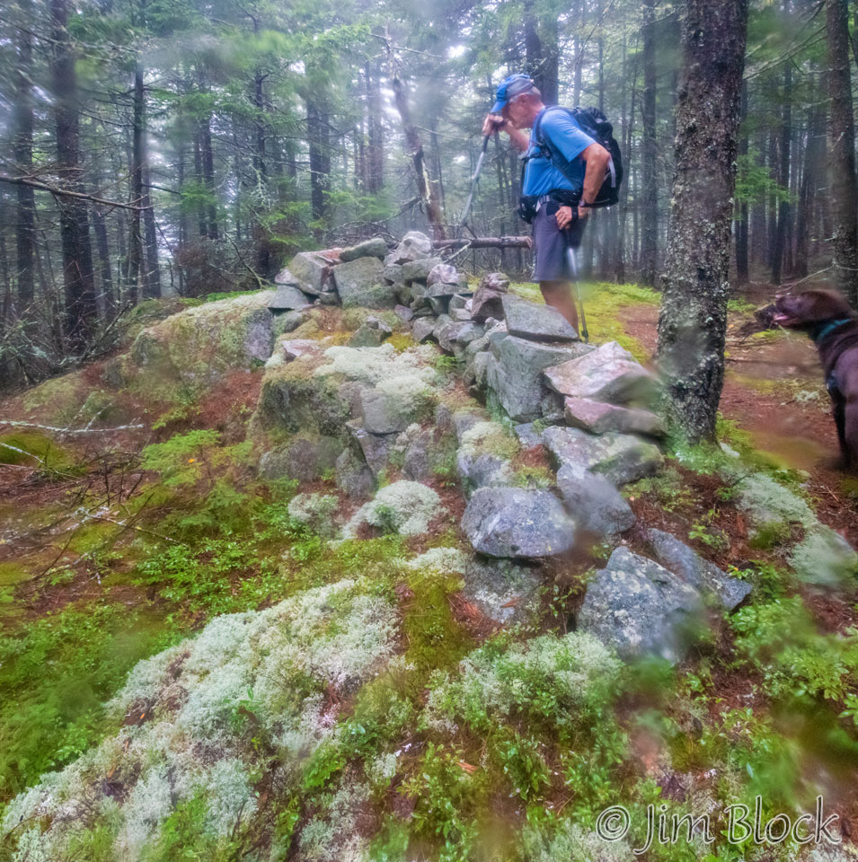
In July, 2018, I hiked SRGK 9 from New Canada Road on a drizzly, foggy day with my good friend, Bruce, and his dog, Caro. Here they are examining a strange wall, perhaps built as a wind break. The photo is not sharp in places because of the water on my lens.
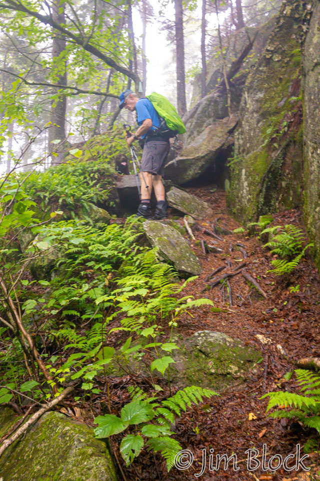
My lens kept getting wet, so after a while I stowed my DSLR and used my iPhone for photography. This iPhone photo shows Bruce trying to encourage his young Caro down a tricky spot.
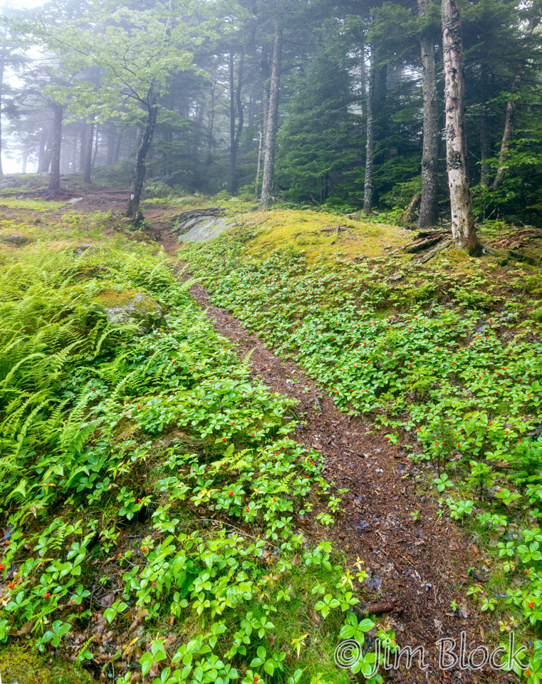
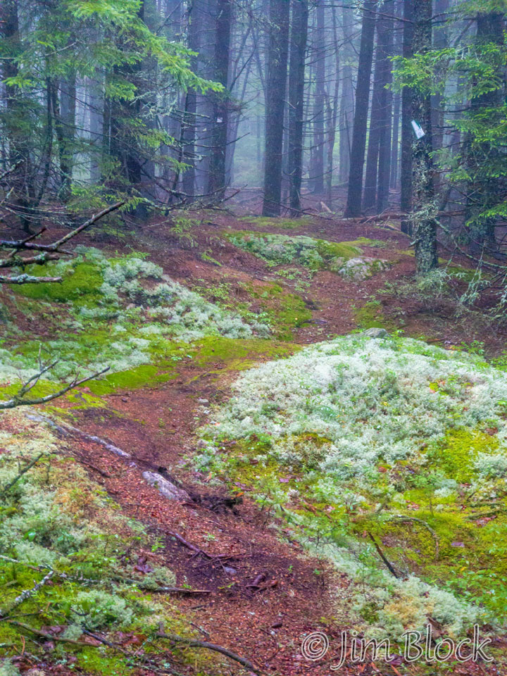
Here are two more photos taken with my iPhone on the way to the Ragged Mountain ski area.
There was no view from the top of the chairlift.
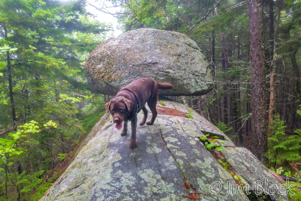
On the way down we took the short detour to Balance Rock. Here is Caro after inspecting it. The wide angle lens makes him look larger and the rock smaller then they actually are.
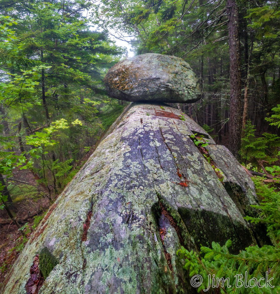
Here is another view of Balance Rock.
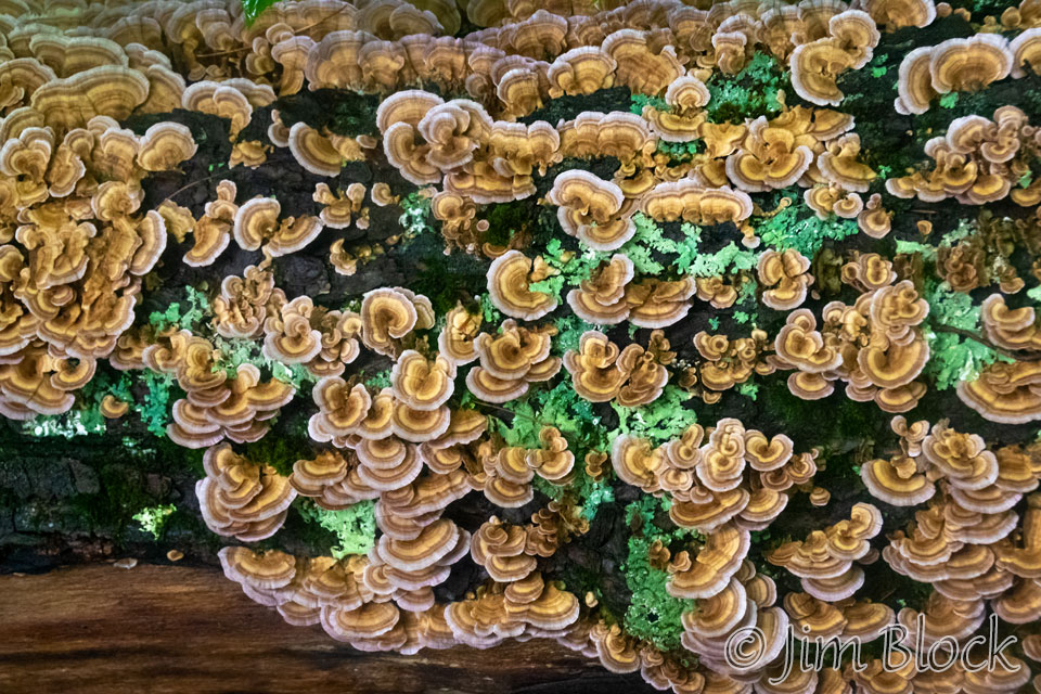
I also took this photo of Turkey-tail Mushrooms.
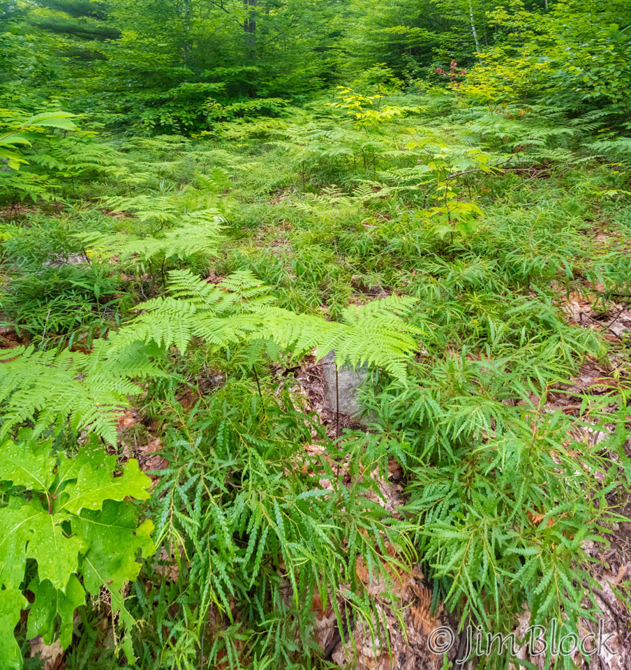
Two weeks earlier, Gerry and I hiked Ragged from Proctor to New Canada Road. Part way up we found an area filled with Sweet Fern, which is not a fern at all.
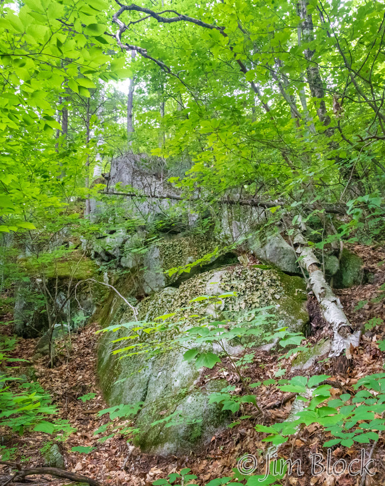
We also found some Rock Tripe, an edible lichen that is also used to make dye.
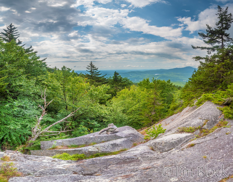
From a viewpoint where someone had piled some stones, we got a distant view of Mount Kearsarge.
Here are more photos I took during my hike with Gerry.


Here is a slide show of two hikes over Ragged Mountain: one with my grandson and another with an SRKG group hike led by Nick.


