Great Brook and SRKG 5
SRKG 5 is the longest Greenway trail at 8.4 miles, but the lower portion from Pleasant Lake to Devil’s Half Acre Pond makes a wonderful out-and-back hike of under 5 miles total. This section passes some great cascades which are especially beautiful early in the season. You start near the west end of Pleasant Lake and climb past the Lower Cascades to the Upper Cascades and Devil’s Half Acre Pond, possibly using the alternate and beautiful Dura Crockett Trail on the way up or back.
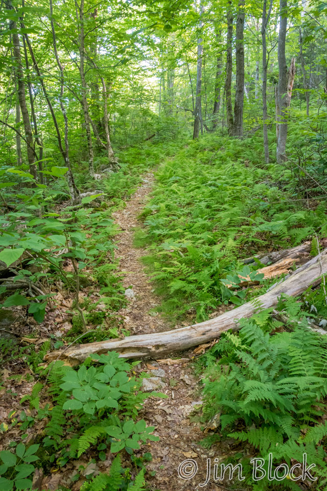
This page combines photos from a hike on July 16, 2016 along the full length of SRKG 5 from Route 114 in Springfield to Lakeshore Drive near the west end of Pleasant Lake in New London. It also includes many photos of the lower section taken earlier in the season when Great Brook was running full.
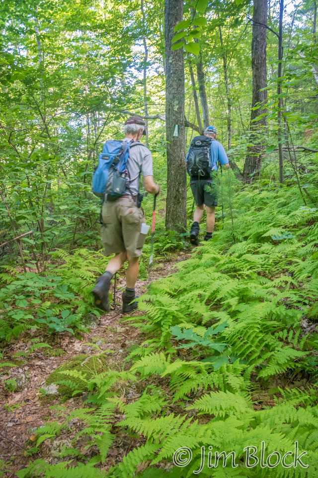
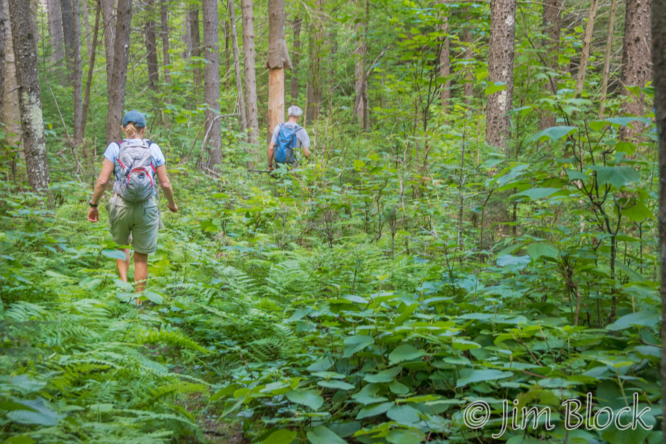
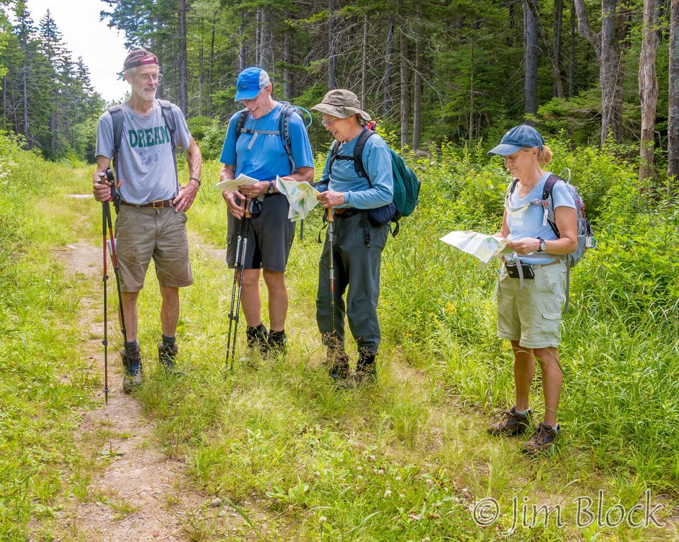
Gerry Gold lead a very compatible and friendly group of 5 along the length of SRKG 5. I do not plan to describe the trail here; it is well described in the Greenway Guide Book.
We climbed to the Overalls and tried to see Morgan Pond from the North Overall. Unfortunately the trees below this overlook had grown too tall to permit a view, at least in summer. But the ferns along this short spur trail were beautiful.
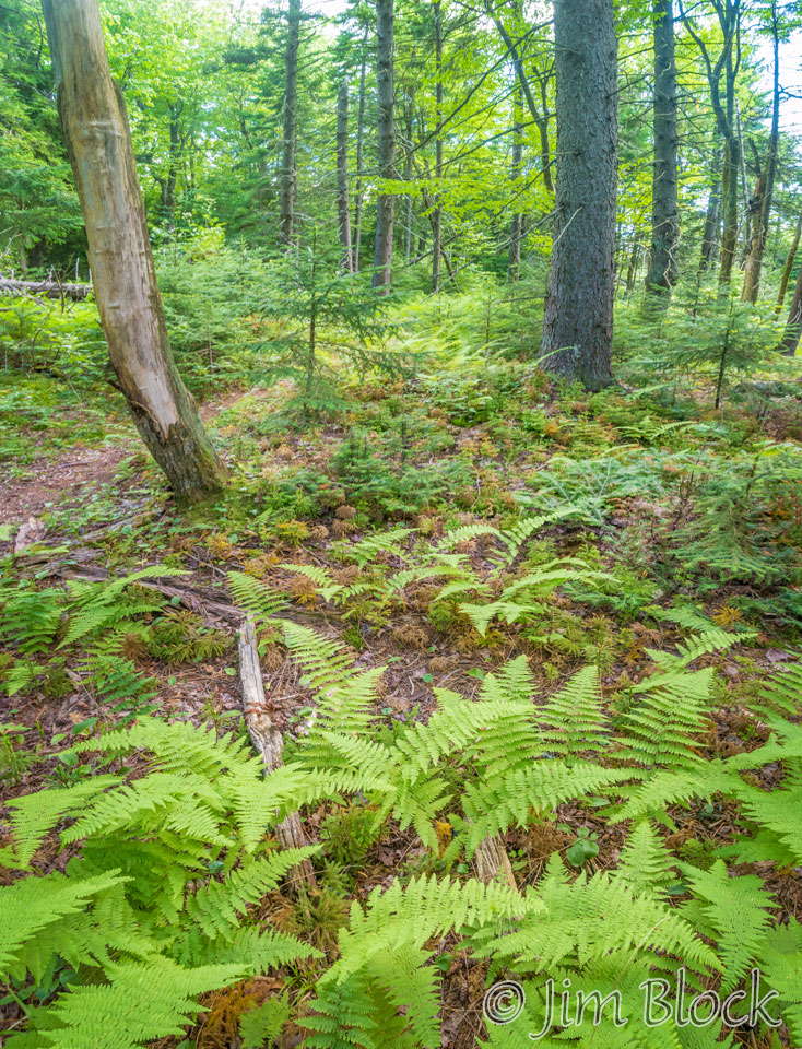
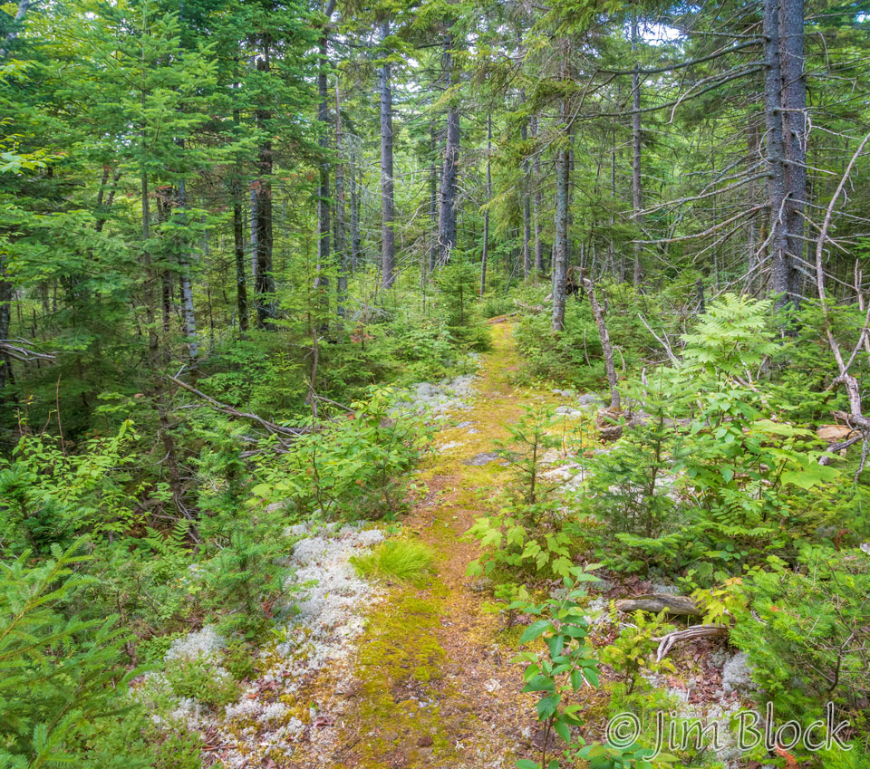
Farther along we hiked through some nice moss and lichen.
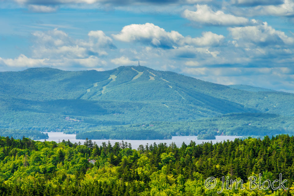
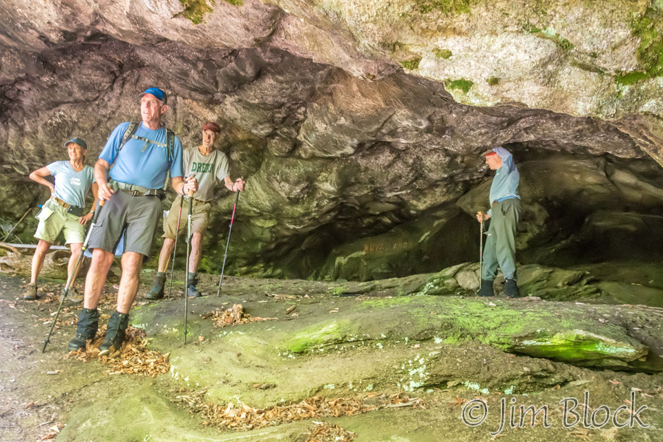
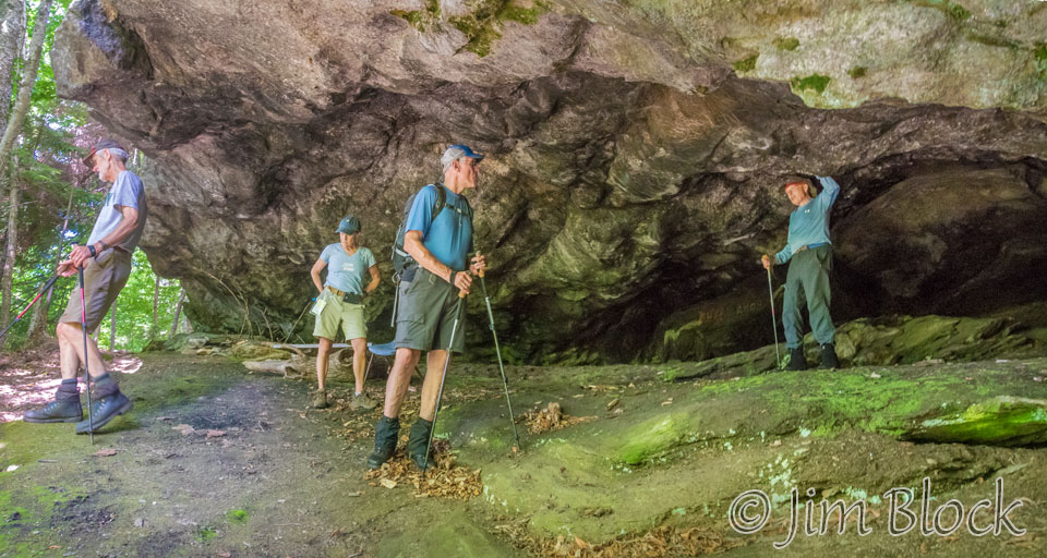
We definitely wanted to climb down to Royal Arch Cave and we did, in spite of a few fallen trees which made the trail a bit challenging. Standing above the cave we got a great view of Lake and Mount Sunapee.
We worked our way down to the cave. It is impressive. Reportedly Daniel Webster sheltered here with the sheep he was taking to Dartmouth for his tuition.
We reached Perley Road and took it north to the junction with the overgrown Old Poor Road about 4 hours into our hike. We were making a leisurely pace. Here we paused briefly to check where we had been and where we were heading. Five minutes ahead we would sit on a stone wall and have lunch.
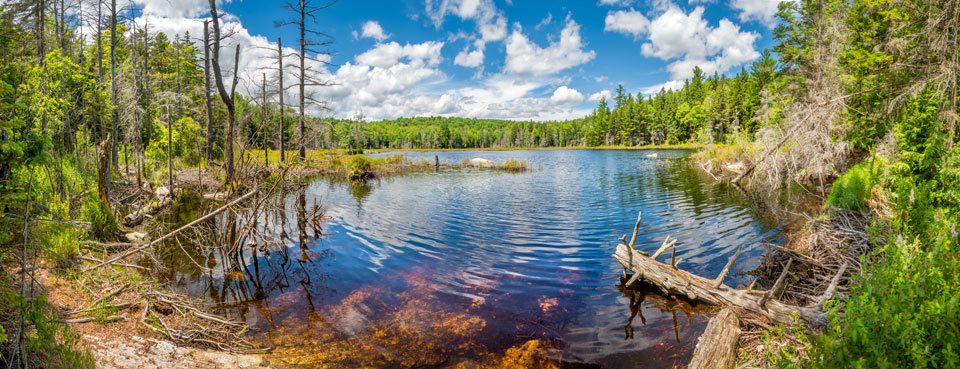
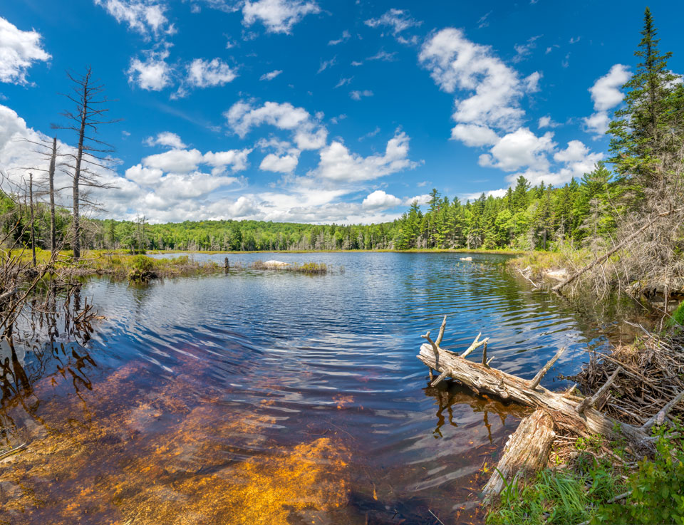
After several “false” ponds, we reached Devil’s Half Acre Pond. Here are two large panoramic images of the pond made during our July 2016 hike. You can click each image to get to a site where you can zoom way in then pan around. When you get there, click the double arrow above the image on the right to see it full frame. Please wait for the resolution to download. You can use the + and – keys to zoom and the arrow keys to scroll. Or use the scroll wheel to zoom and the left mouse to drag.
Can you find the impressive beaver dam at the lower right?
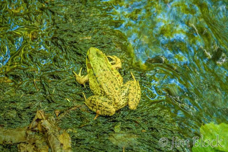
Down the Great Brook Trail along Upper Cascades, which are impressive in the spring, I found a frog. When I moved in closer for another photo it jumped right and slid, rolled and bounded down the ledge of the Upper Cascades to a small pool.
I paused on the bridge above the Lower Cascades for a photo. Not much water this mid-July.
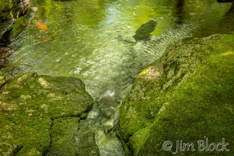
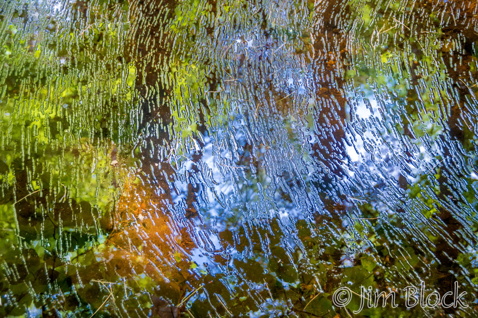
Finally near the end of our hike along Coco’s Path, I got some colorful reflections in a still part of Great Brook.
What follow are some photos taken along Great Brook up to Devil’e Half Acre Pond in the spring and early summer of previous years.
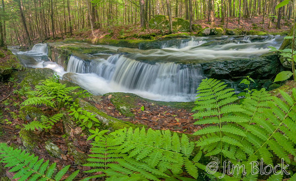
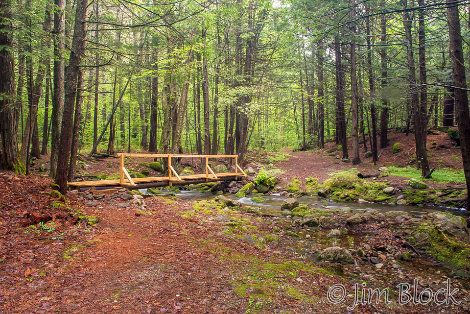
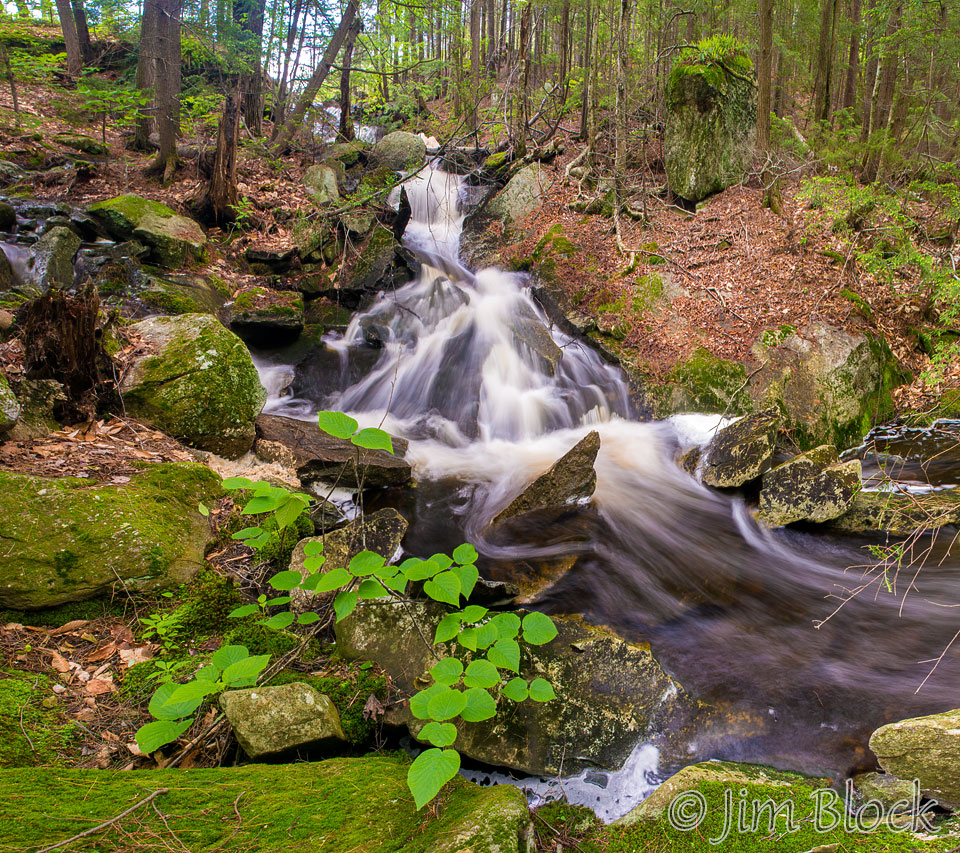
Although there are great rapids all along the trail, the first spectacular set are the Lower Cascades seen in the photo below. Beyond the Lower Cascades a sometimes very slick bridge crosses Great Brook to the west.
Farther up the trail a second bridge crosses Crockett Brook seen in the photo below.
Just across the bridge the Dura Crockett Trail leaves to the left. I prefer to take this trail up as it passes several great waterfalls. Eventually it reaches the Morgan Hill Trail which, if you go right, takes you back to the Great Brook Trail along SRKG 5 somewhat below the Upper Cascades.
One section of the Upper Cascades is shown in the photo below.
Past the Upper Cascades is Devil’s Half Acre Pond. From here one can continue west along the rather long SRKG 5 to Springfield. Or one can head back down the Great Brook or Dura Crocket Trails.
Here is a slide show of some of the nice features along the part of SRKG 5 from Pleasant Lake to Devil’s Half Acre Pond.


