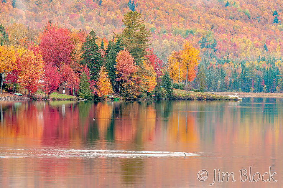
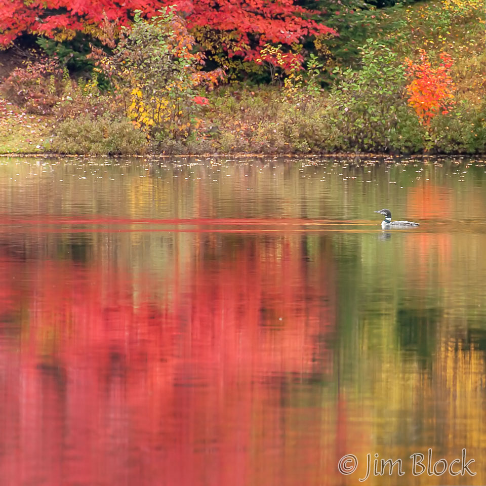
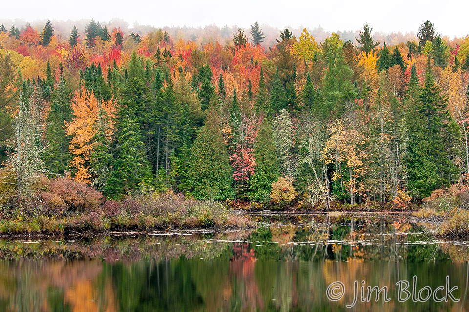
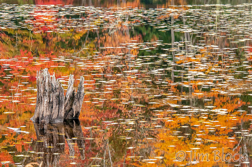
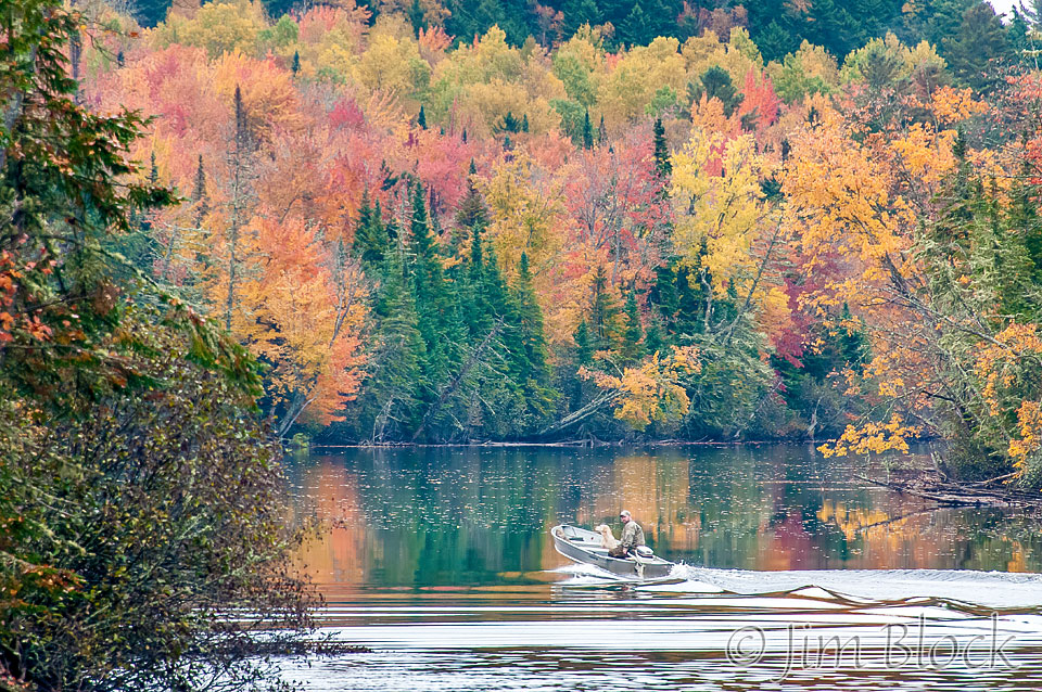
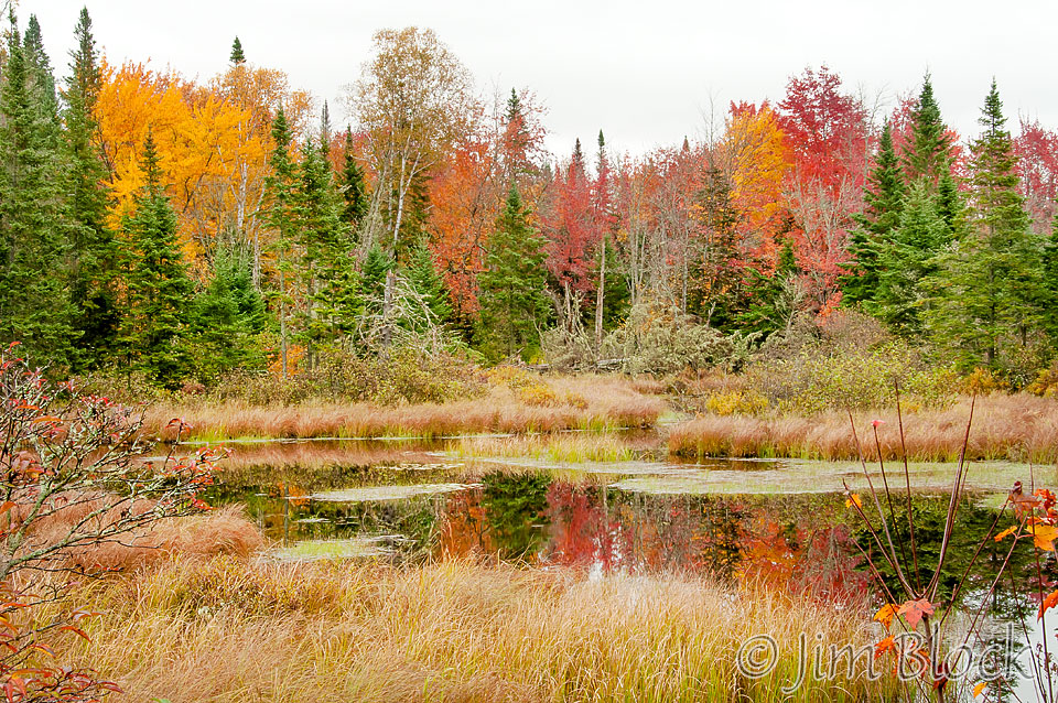
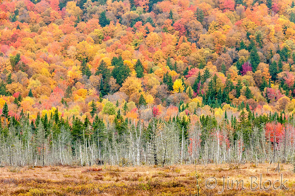
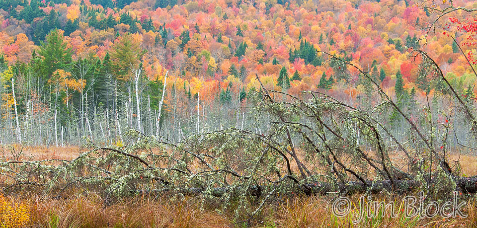
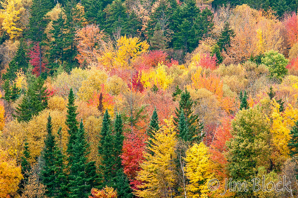
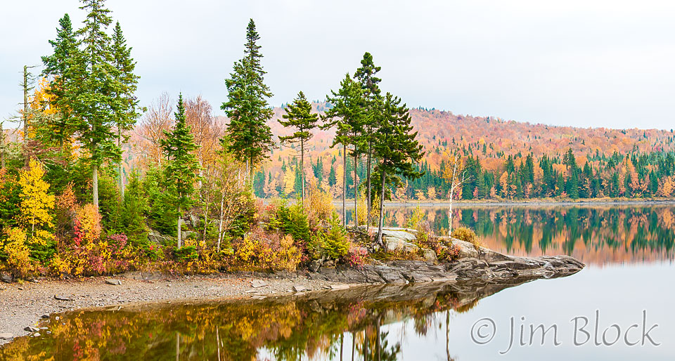
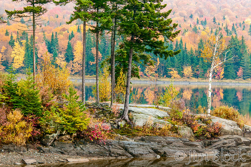
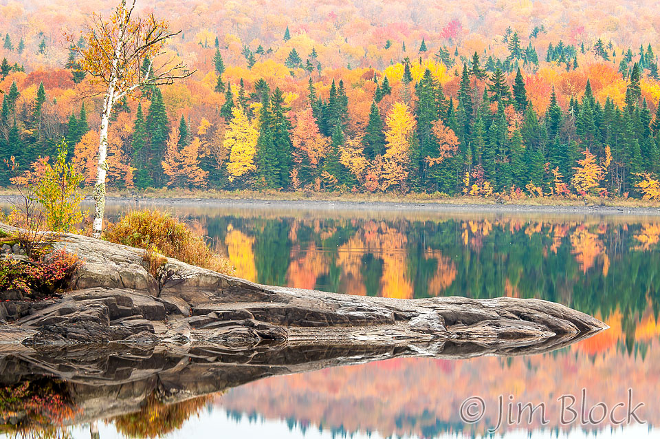
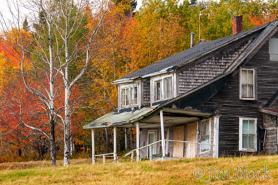
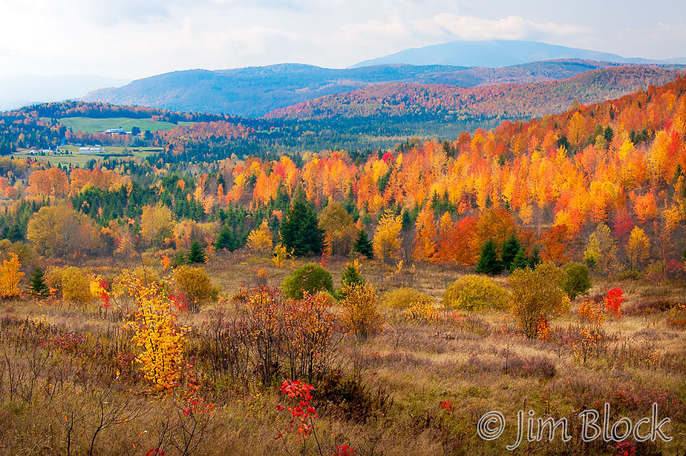
The Great North Woods encompasses the northern tip of New Hampshire, north of the White Mountains. It includes huge wilderness areas in Pittsburg, the headwaters of the Connecticut River, the rugged Dixville Notch, numerous waterfalls, and the rivers and forests around Errol. It is the moose and snowmobile capital of NH. The color in this area was spectacular everywhere in early October 2012 as seem in the photos from Dixville above and Ackers Pond in Errol to the right.
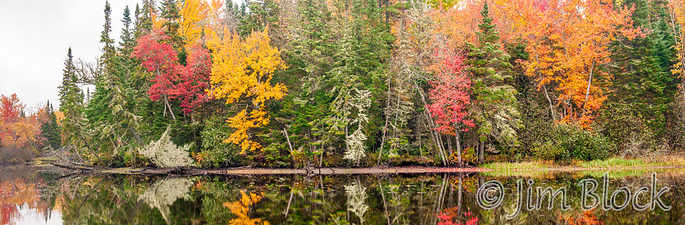
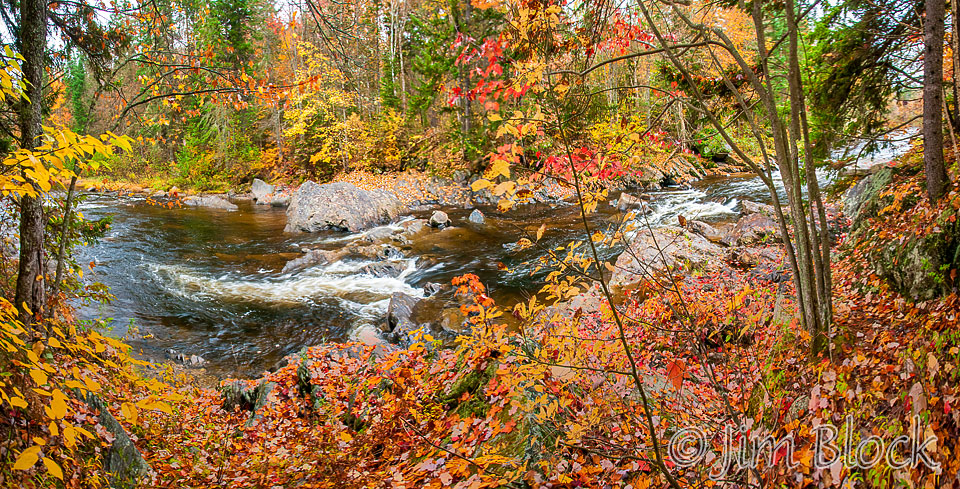
The Second College Grant is off limits to those wanting to drive in and stay overnight without a Dartmouth connection and a permit. But the road in can be freely hiked, biked, or skied. Some rapids of the Swift Diamond River are seen in the photo below. It is a 13-shot handheld panorama taken with a camera I carried around my neck while mountain biking in. They are located along a challenging single track bike trail.


Taking photos while riding a bike rapidly downhill can be a bit dicey. But occasionally it pays off with some nice depictions of motion if you shoot at around 1/15 sec as I did in the photo at the left. A fast shutter speed just freezes the action and results in a photo that give less of a sense of motion. Using blur to tell a story is good, in my opinion.
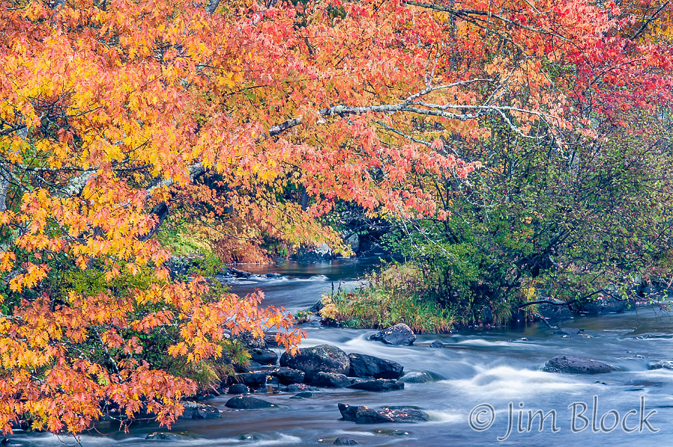
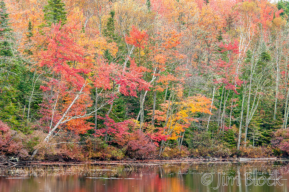
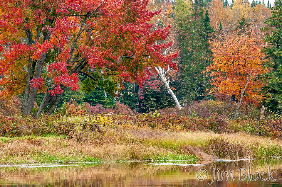
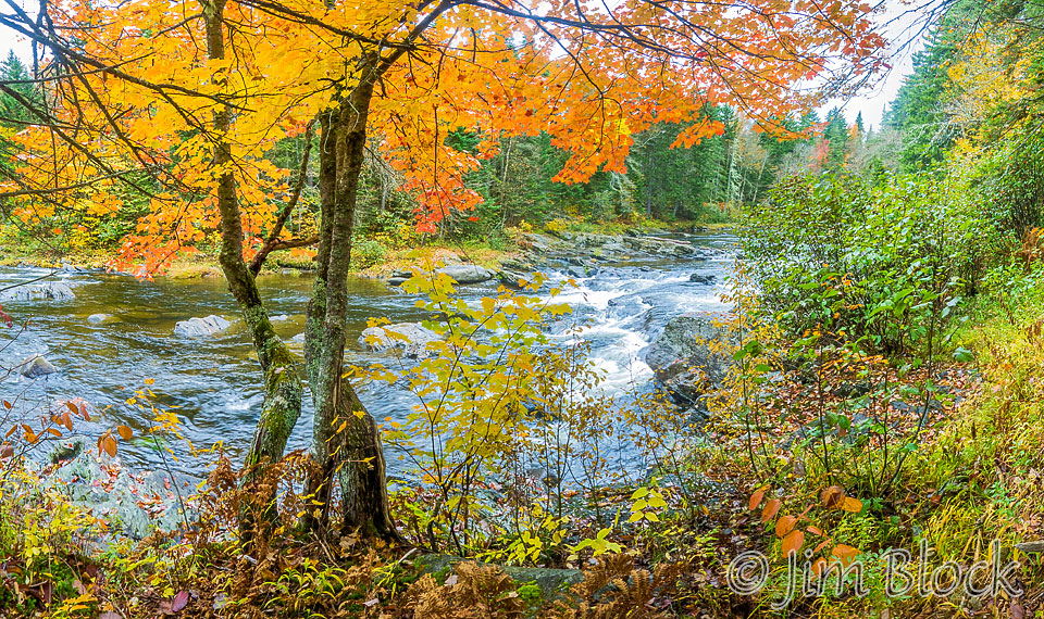
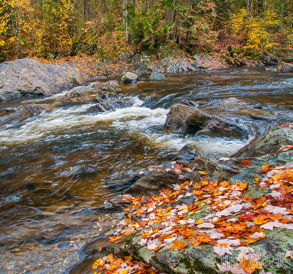
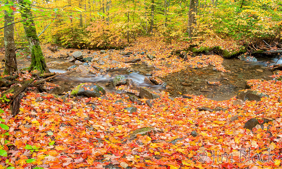
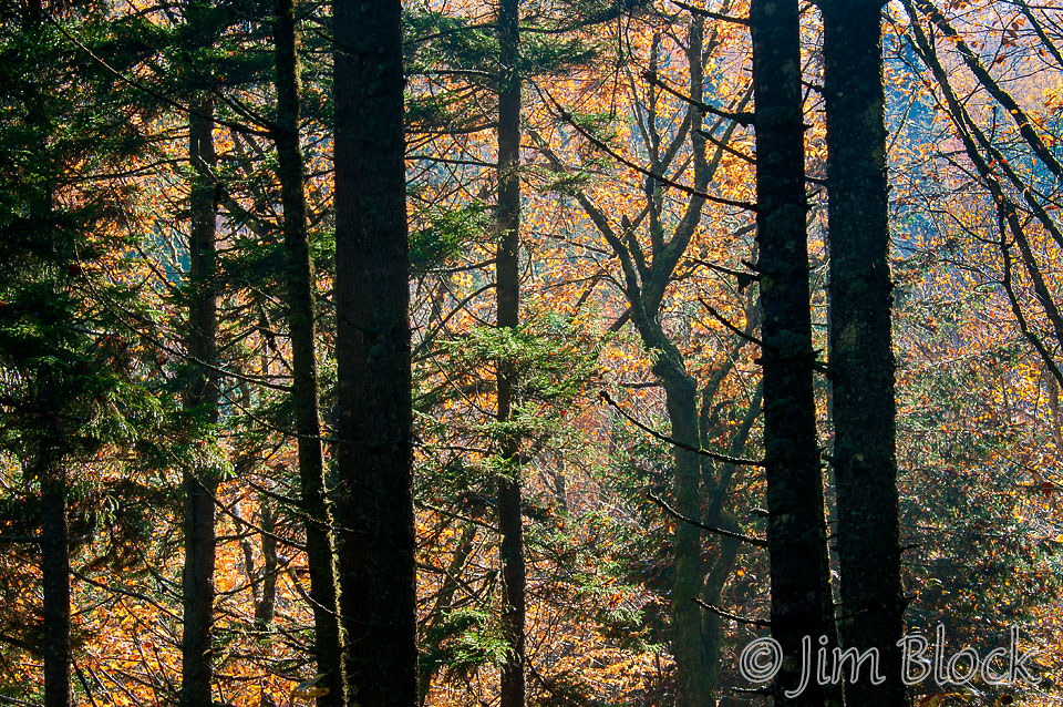
The foliage along the Magalloway River, seen below, was quite nice in the low contrast light of the morning. We had driven for several hours in constant rain before dawn only to have the rain let up for the morning and part of the afternoon when we wanted to photograph and bike.
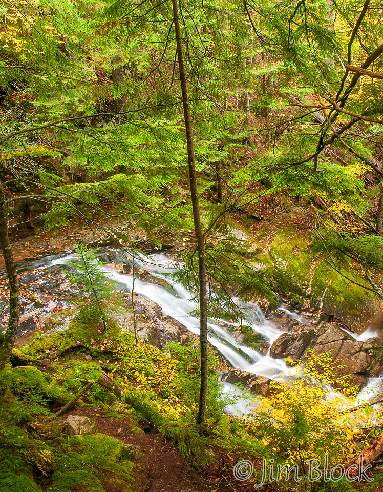
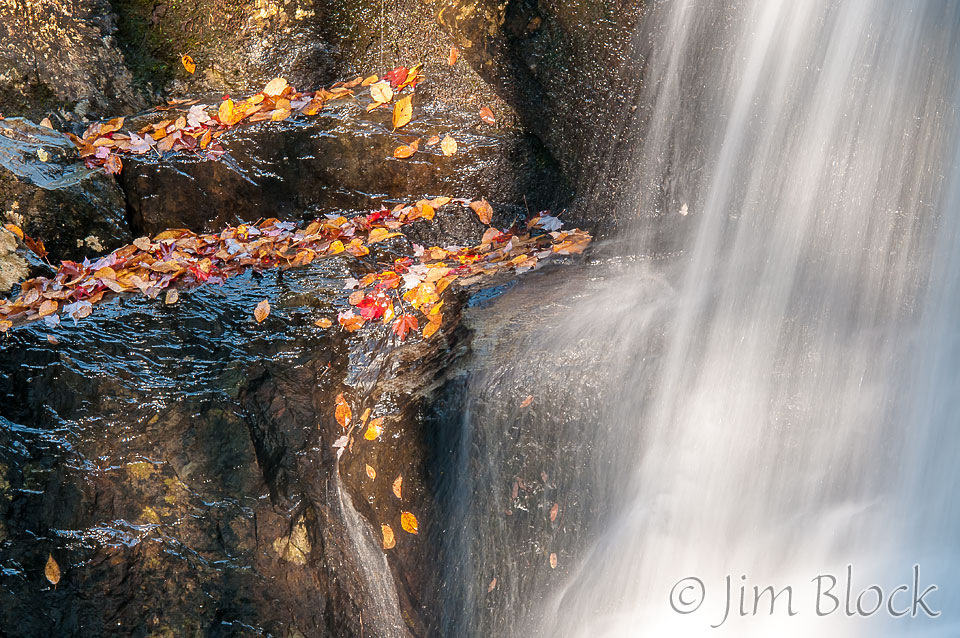
We had a great bike adventure in the Second College Grant and got in some photography before the rain returned when we reached Dixville Notch. But for most of the afternoon it was just a light drizzle, not at all bad for photographing waterfalls and foliage.

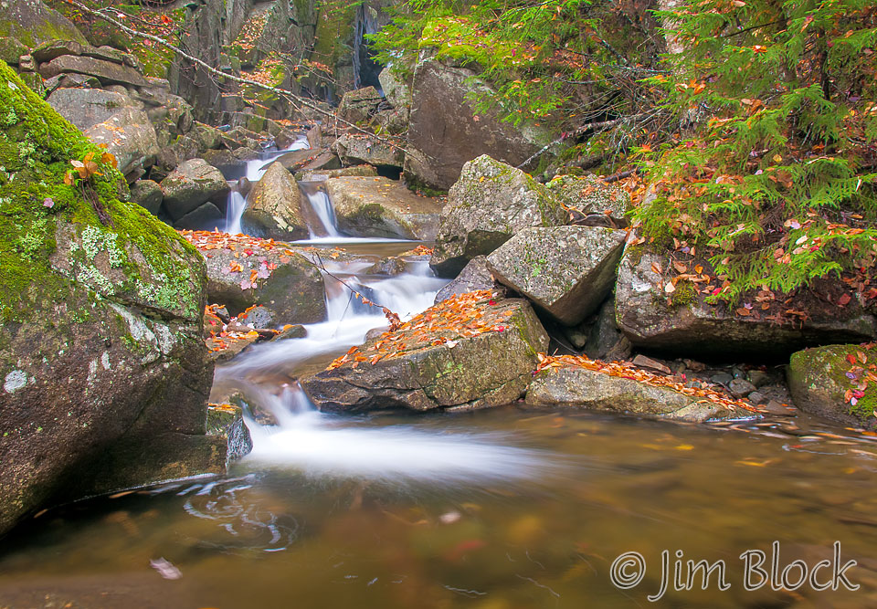
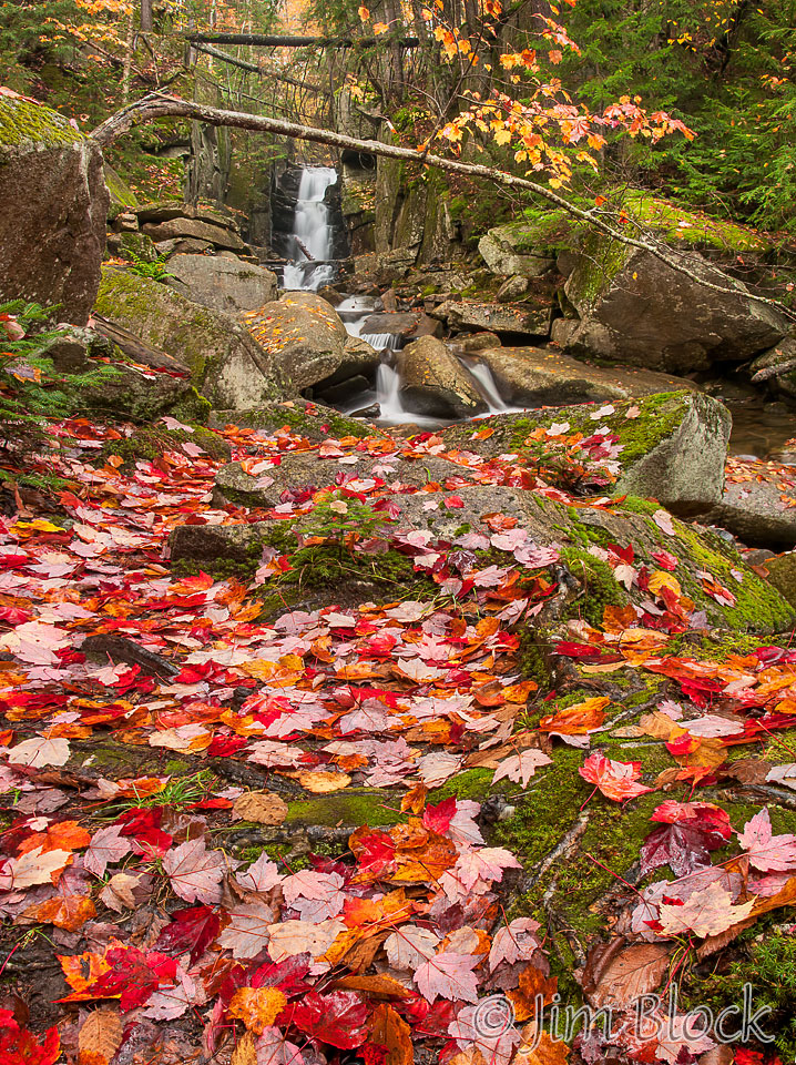
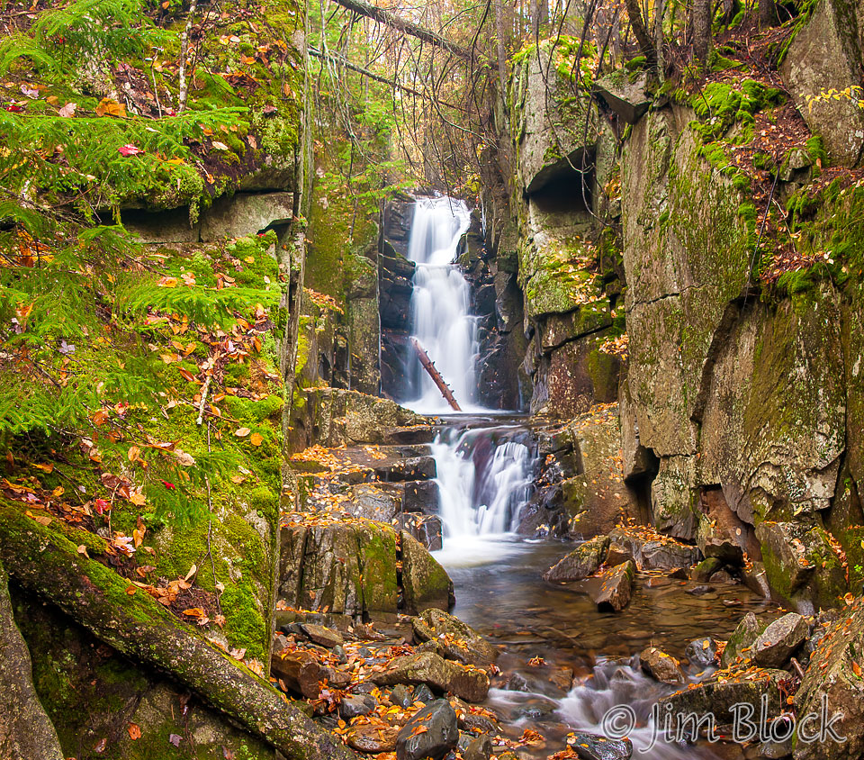
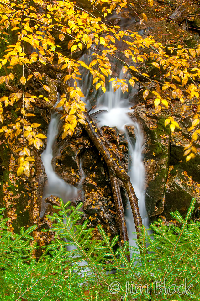
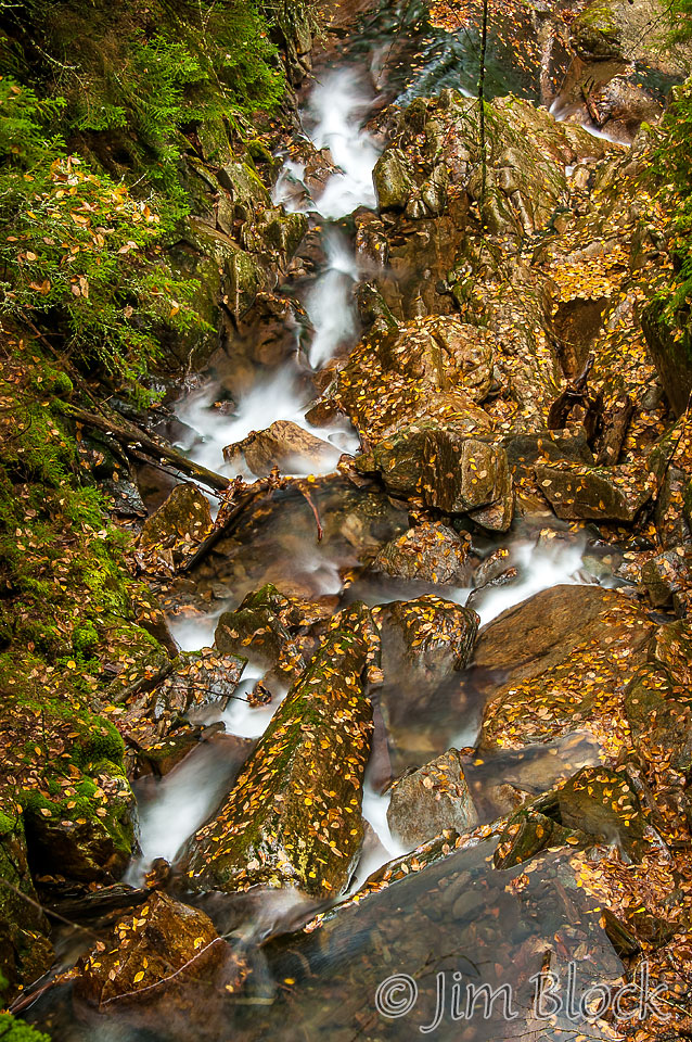
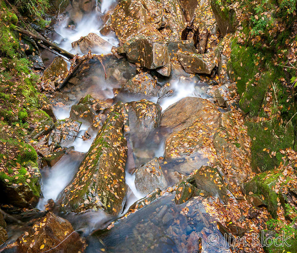
Dixville Notch features several waterfalls within an easy walk from the car. Both are on the east side of the notch. The Dixville Flume, a set of three drops through a narrow gorge, is easily reached by taking just a few steps from a parking lot on the north side of Route 26. This 62-shot panorama tries to convey the scene. If you click the image below you will be taken to a page where you can zoom in, pan around, and explore this scene. Not quite like being there, but you won’t feel the light drizzle.
")
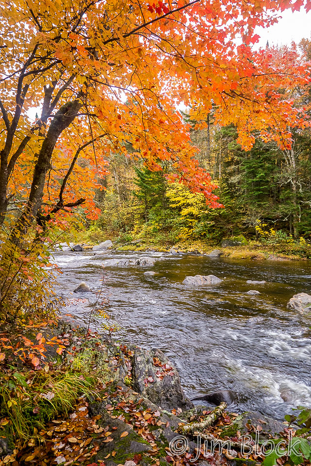
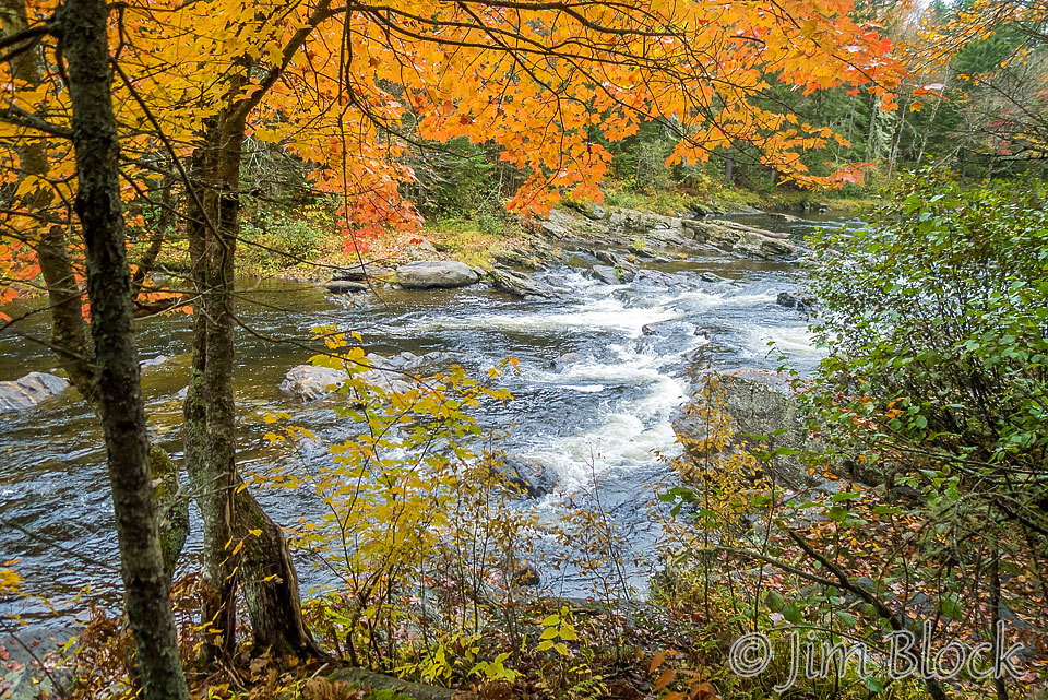
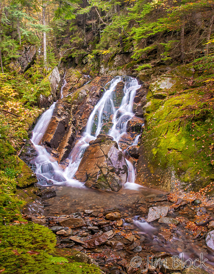
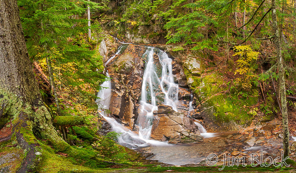
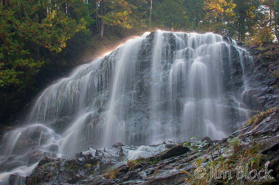
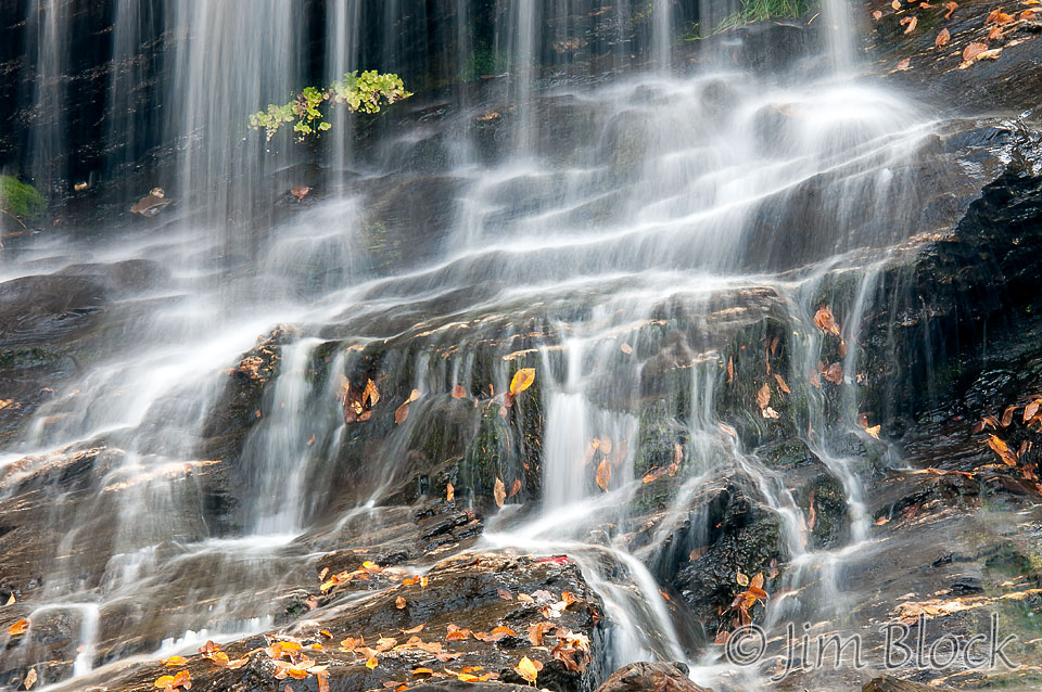
The next morning was overcast. After searching in vain for moose up and down Route 3 and checking out East Inlet, our hopes were high for photographing Garfield Falls without the contrast that sun would create. But fate intervened, the sun broke through as we arrived. Still the falls were nice as was the East Branch of the Dead Diamond River below the falls.
")
")
We blew right by Beaver Brook Falls in Colebrook in the somewhat heavy rain along Route 145 the day before so we had to visit the next morning. These are a spectacular horsetail falls right off the road—no hiking needed. But, of course the light was challenging. Seems photography is never easy, always challenges and compromises. I guess that is what makes it so enjoyable. Below is a 24-shot pan of the falls that you can click and get to a version you can explore if you wish.
")
Route 145 between Pittsburg and Colebrook featured some nice vistas like the one below in Clarksville. I believe the hill in the far background is Monadnock Mountain in Vermont just across the Connecticut River from Colebrook.

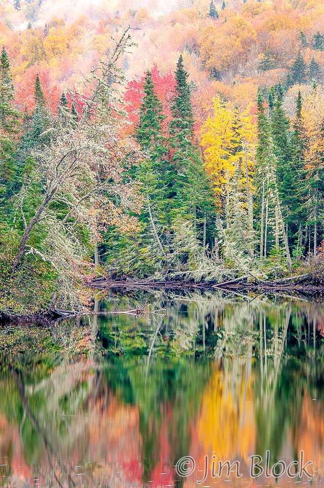
We headed to the Nulhegan Basin and the hardest to find town in Vermont, Lewis, for lunch. Lewis is the “holy grail” of the 251 Club, the group who visits every town in Vermont. Foliage there was as spectacular as we expected. A page of photos from there will appear shortly.
Here is a slide show of photos taken during a day and a half in early October 2012. I hope to make time to upload more photos from previous trips soon.