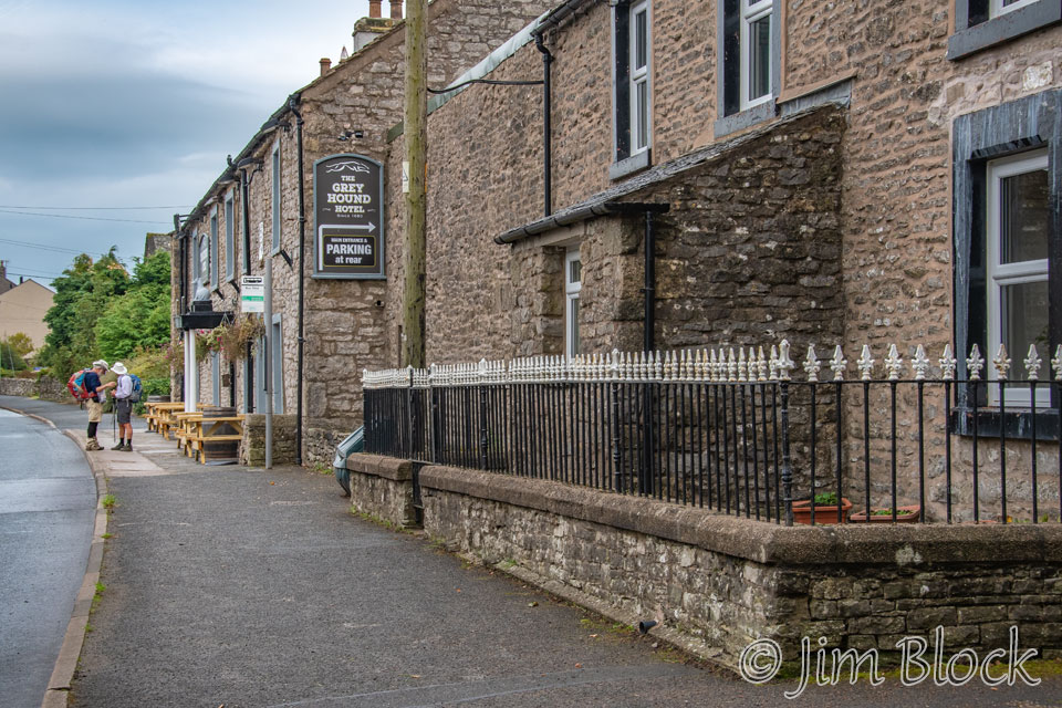
Shap to Kirkby Stephen
No major mountains this day, but lots of ups and downs. By the end of the day I had walked over 20 miles with over 2000 feet of elevation gain. My average speed while walking was 2.9 mph, an amazingly fast speed for me. We left Shap just a bit after 9 AM, and I was at my charming hotel in Kirkby Stephen a bit before 5 PM.
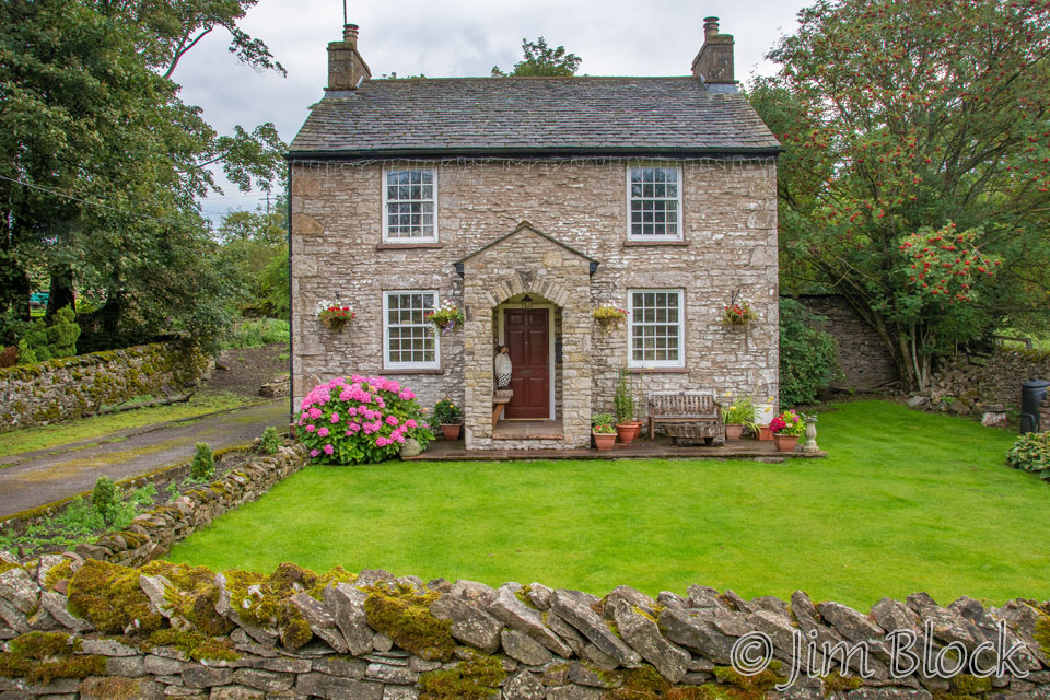
Jim said he knew a short cut to get us back to the C2C path, so I walked a short distance in the direction he indicated to make some photos. There was an elegant stone house near the hotel.
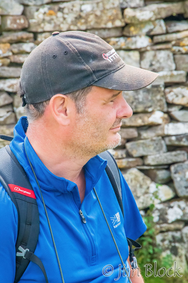
I was surprised Jim and Stephen were not right behind. Seems they were having a discussion about which way to go.
Jim and Stephen agreed to disagree. Jim started walking toward me while Stephen headed in the other direction. Jim had done this C2C walk three times previously, so I figured he knew what he was doing. Plus I had already taken some steps in that direction. I had forgotten about a somewhat similar “adventure” on the first day of hiking in the Dolomites.
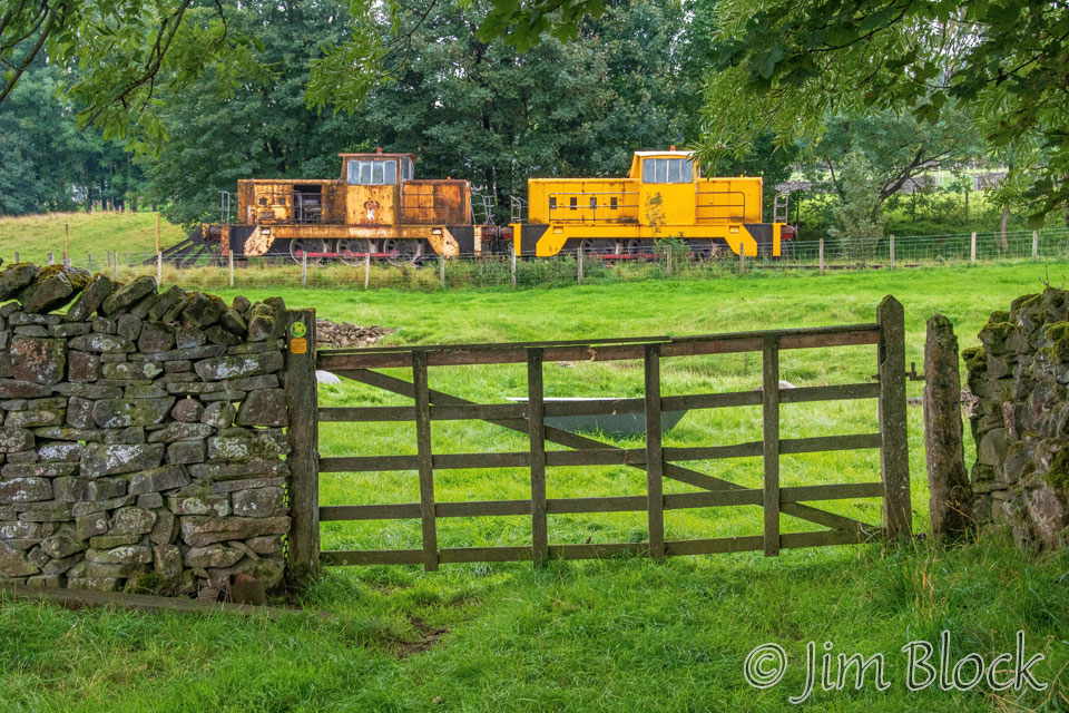
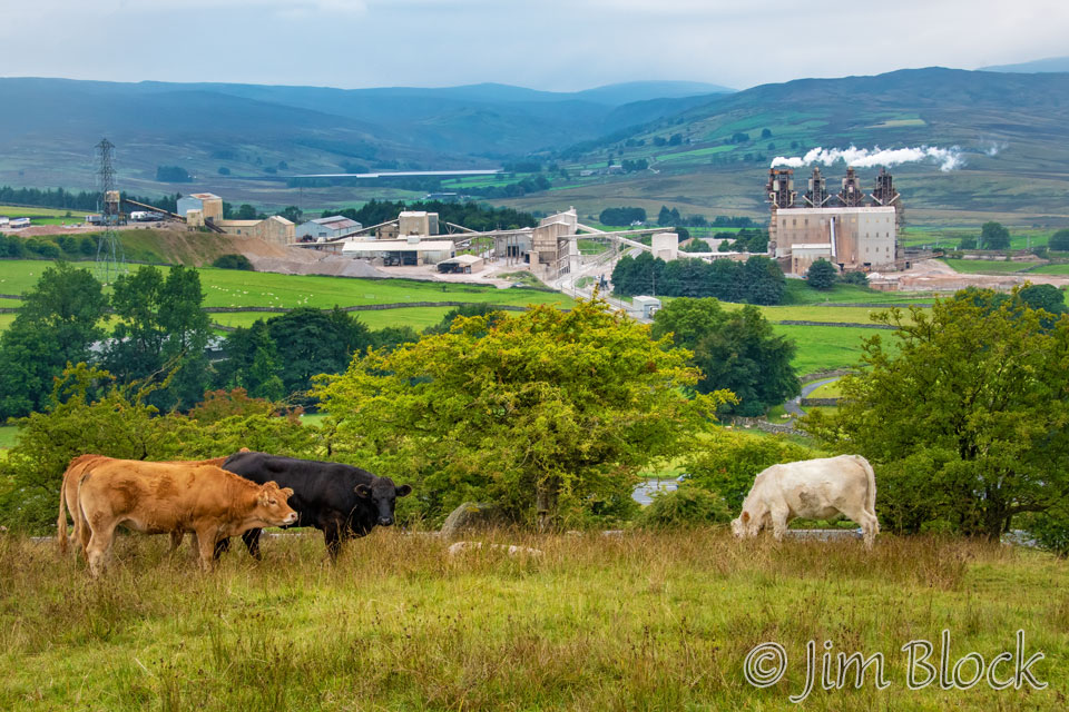
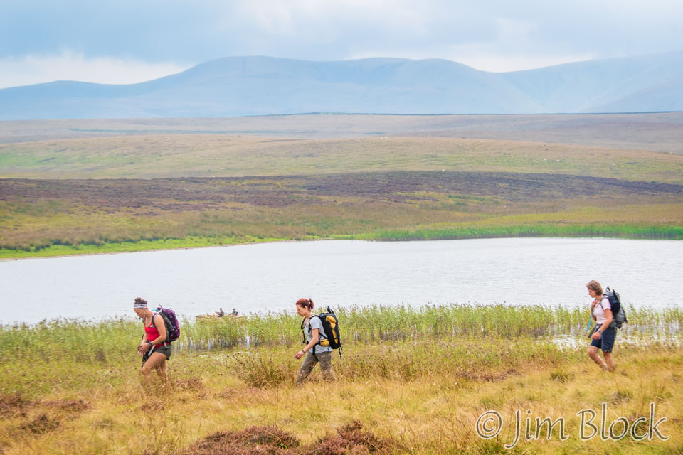
As we walked, we saw some abandoned old train cars. They were on railroad tracks that ran parallel to the busy main street of Shap. Actually it was busy all night as cars sped nosily by my window, but now there were no cars anywhere. Perhaps 9:00 AM is too early for the Shap party-goers. After all they were up past 1:00 AM listening to loud music the lounge of our hotel while hikers were trying to sleep after a very long day.
We turned left onto a lane and then crossed a field. There was no obvious route to the C2C. Stone walls were everywhere. We were lost.
We wandered across a field with tall wet grass. When we came to a barbed wire fence, Jim decided to retreat and loop around. I decided to climb over the fence.
For a while we walked on roughly parallel tracks, perhaps 100 yards apart. I eventually reached a hill with a view back at the cement factory in Shap. At this point we had walked for 30 minutes and still were not on the C2C path.
From that hillside I also got a view of a major motorway. It was the first big highway I had seen on the hike. It turned out that the bridge over this highway is the C2C path.
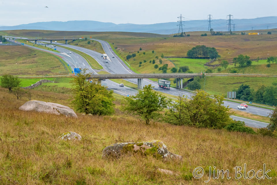
But I was on the highway side of the walls and fences. So I had yet another barbed wire fence to navigate to get to the bridge and C2C path. We eventually caught up with Stephen.
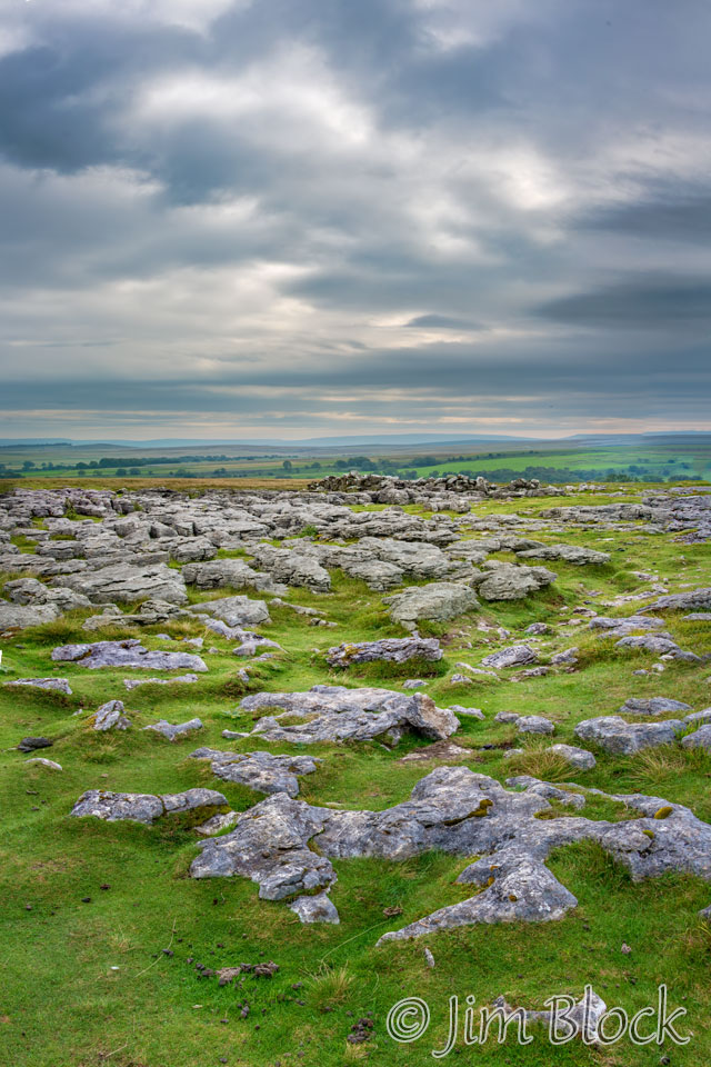
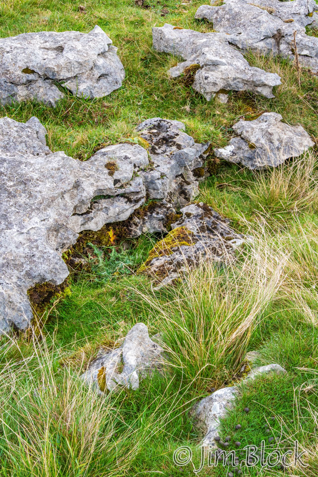
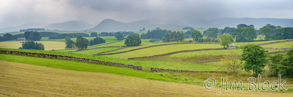
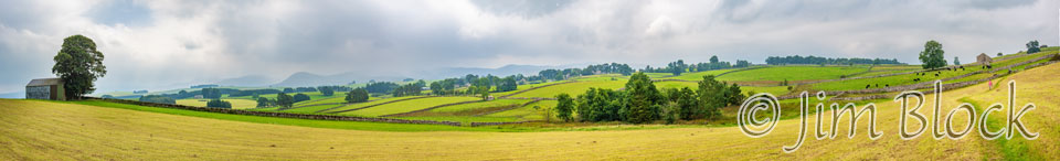
I took almost no photos during the next hour. The scenery was somewhat uninteresting, and I knew we had a long way to go. I was walking alone at this point and moving quite quickly. Here are two photos I took 90 minutes into the day. I found the outcropping of rocks interesting, and the fields of heather were amazing. I believe the rock is limestone. The cement factory and limestone quarry we passed were clues.
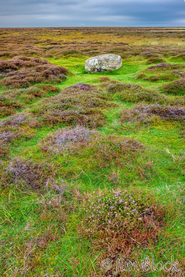
Here is another view of the expansive fields of heather.
I almost caught up with the trio from Australia — Angela, Fan, and Brett — who were walking with Darren from the UK.
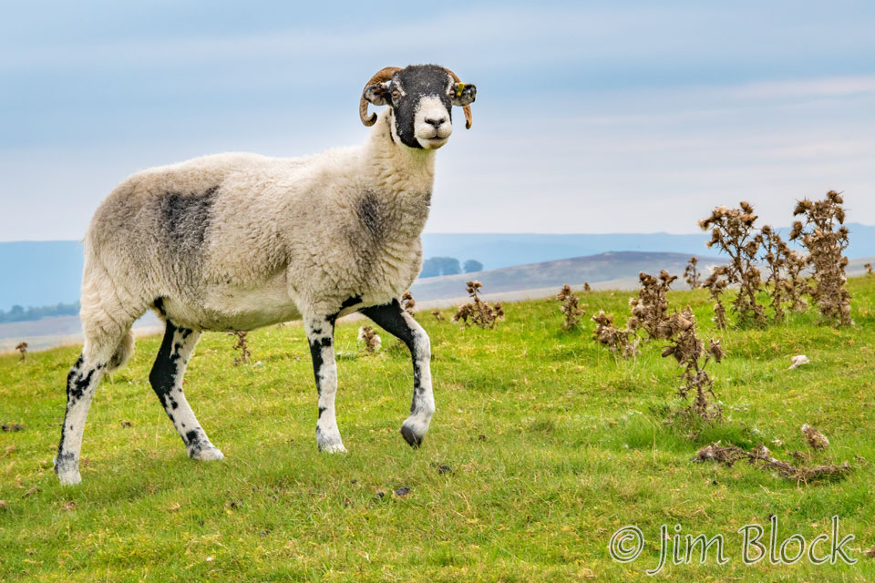
There were sheep in the fields.
I came across more rock outcroppings and made an eight-photo vertical panorama. However, it is too tall and skinny to show well here, so below I have inserted the top and bottom portions of that panorama.
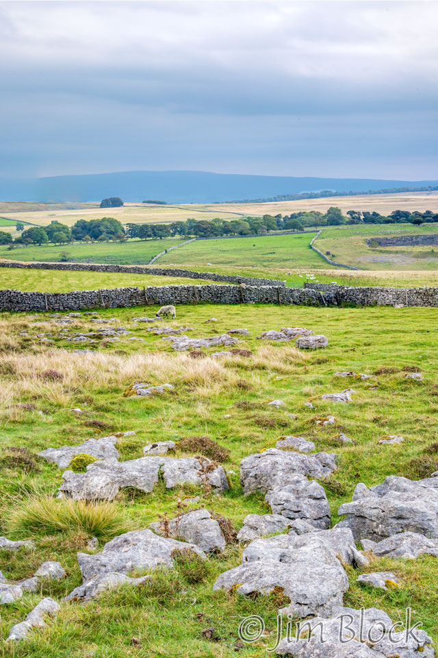
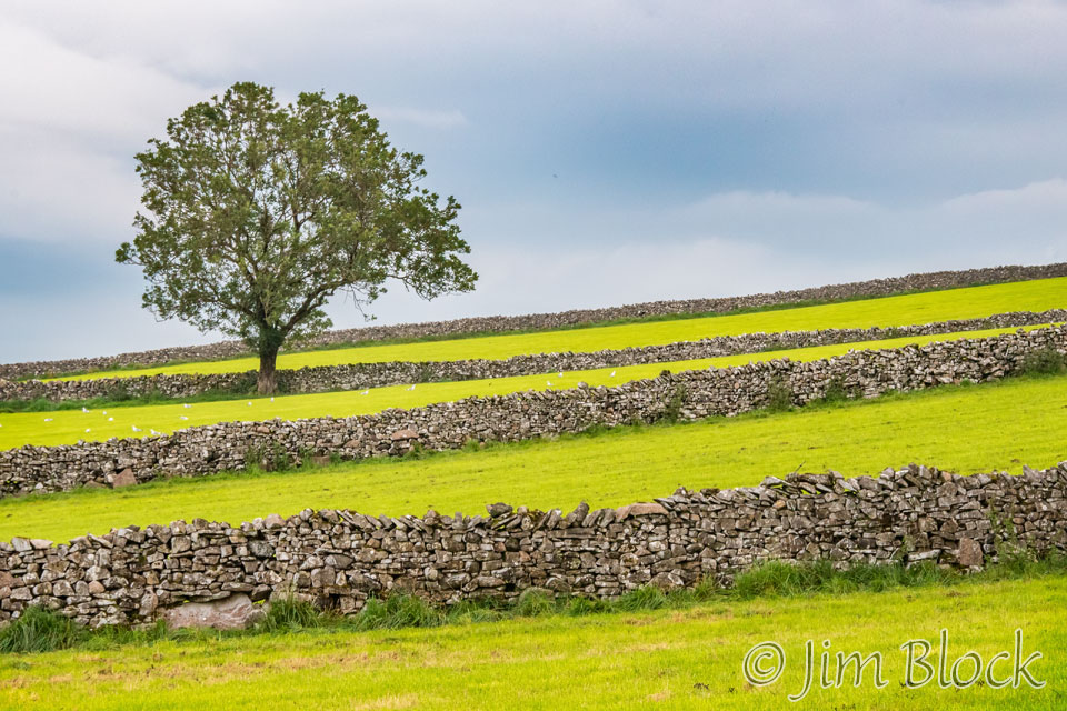
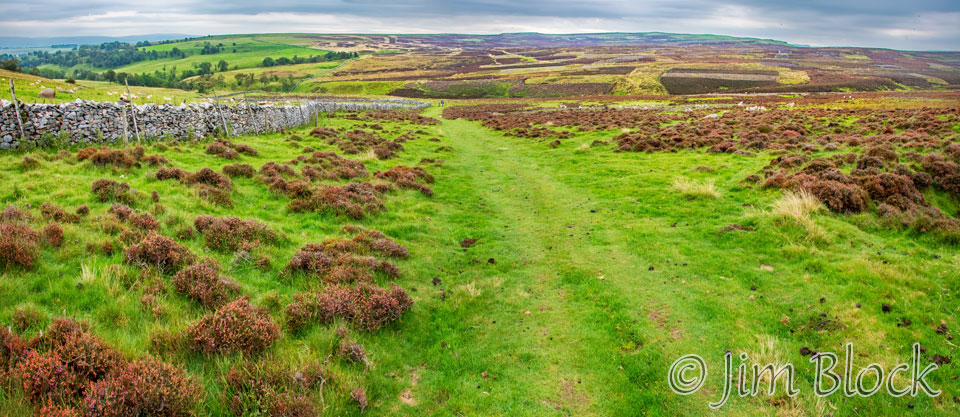
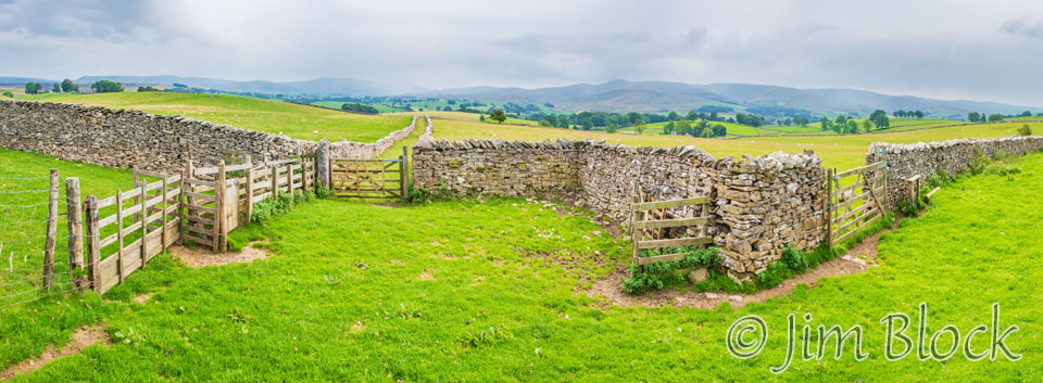
This was an area of stone walls, undulating fields, and moorland. We were definitely beyond the mountains of the Lake District. Although calling anything in the UK a mountain is a bit of a stretch, when one is doing 3000 feet of nearly continuous uphill, that is what they feel like.
")
")

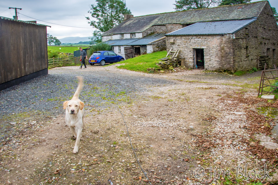
At one point the C2C path passed right through the yard of a small farm.
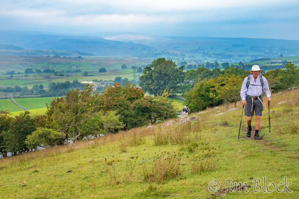
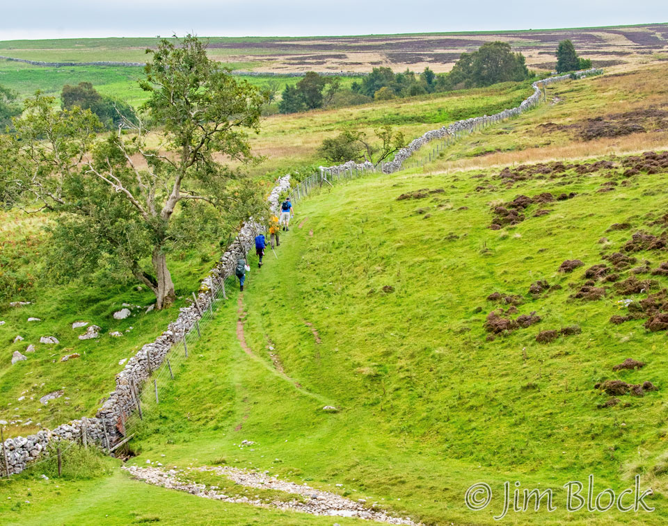
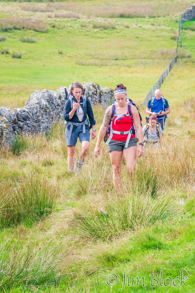
Earlier this day, I walked for a while with Darren. But he was a faster walker than I, so I told him he should go ahead. He did, but then he took a wrong turn that caused him to walk for about 45 minutes extra. He was using a guidebook, while I was using a pre-recorded track on my iPhone. Eventually he found his way back to the C2C path. He caught up with me, and we walked together again for a while through beautiful rolling hills with stone walls. Eventually Darren again went on ahead of me.


Below are two panoramas I made. The first one is composed of four photos, and the second is composed of 11 photos.
The left, center, and right portions of the 11-photo panorama comprise the slideshow here.


It was a mostly overcast, but fairly mild, day. Even so, at times the light became dramatic. Here are four photos I took between 12:30 and 1:10 PM.


I reached a road and met Darren, Bridget, Bob, Kim, and Paige. They had stopped to try to figure out the right route to take. Much of the C2C path has no signs to guide trekkers.
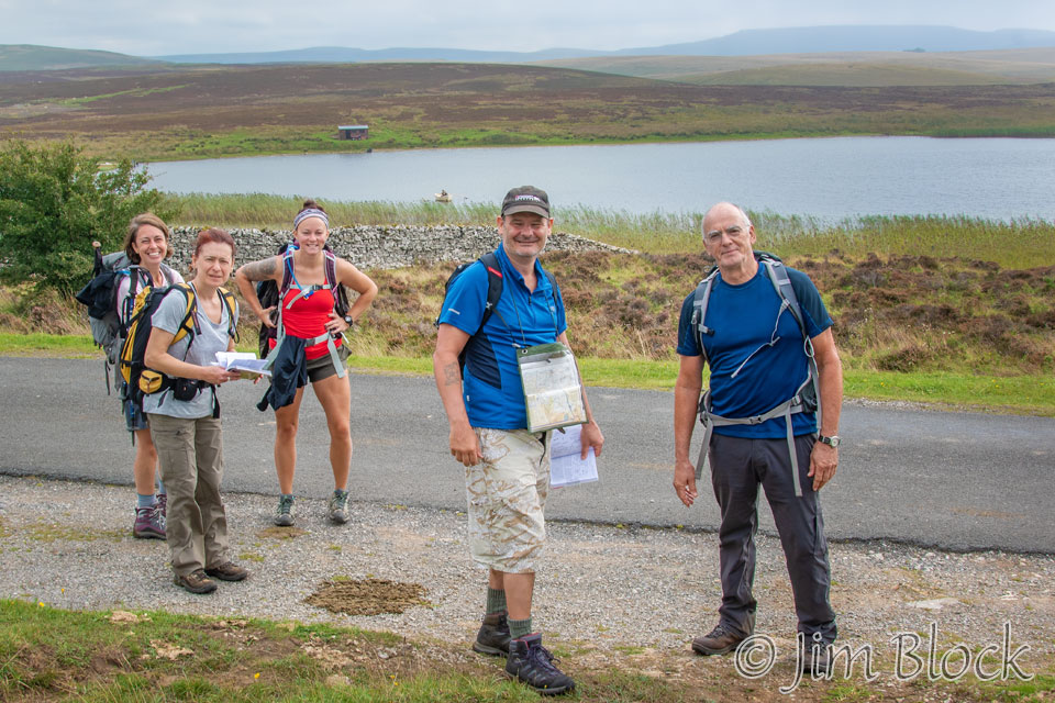
They decided on a path along Sunbiggin Tarn. I decided to follow the pre-recorded Wikiloc track which led mostly along the road.
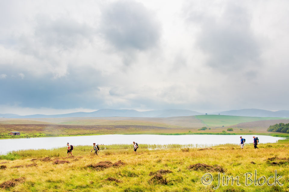
An hour later, when I caught up with them again after they stopped to have a snack, I realized they had taken a much shorter route. I also discovered when I got home and studied a map and guidebook that none of us took the correct C2C path from Sunbiggin Tarn. But we all eventually got back on track an hour or so later.
An equestrian event was in progress along the road. So I was able to get a number of photos of the horses and riders.


I walked through an area called Mazon Wath. I was well off the actual C2C path, but soon I would be back on it. I walked past some interesting stone walls, farm buildings, and stick sculptures in one yard. In one of the photos you might be able to spot a woman sitting near a parked car. She was monitoring the equestrian event.

")


I eventually caught up with the others and rested briefly with them as we all had a snack. Around 2:30 PM, we set off again, initially walking together.
Here is a six-photo panorama of an amazing stone wall.
Darren and I soon outdistance the others. We walked together the remainder of the day to Kirkby Stephen. He often referred to his paper route guide while I trusted that my Wikiloc track was keeping us on the path. This combination of analog and digital route-finding got us to our destination fine.


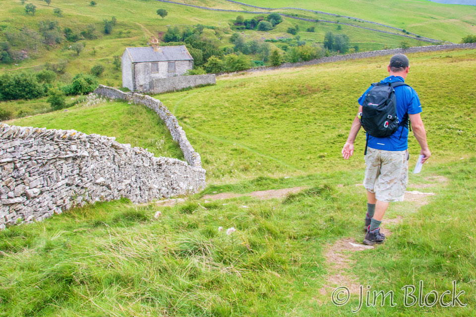
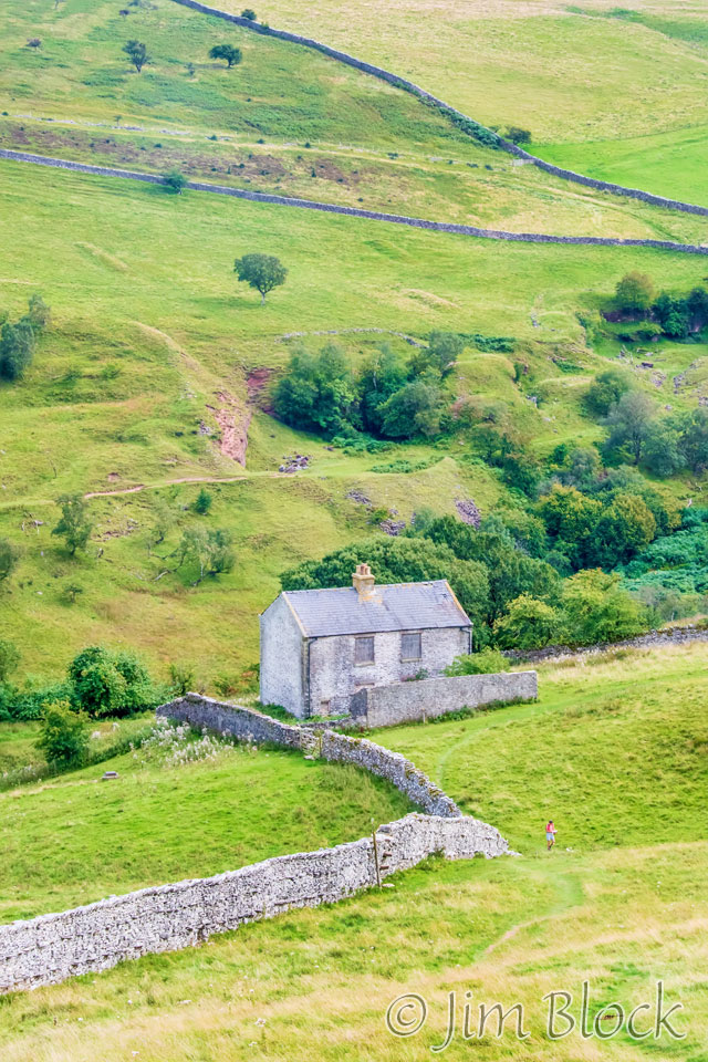
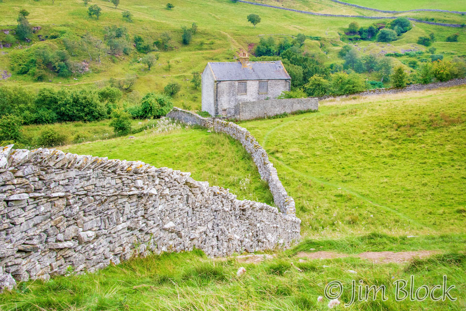
We approached an old abandon stone building. There was a woman walking her black and white dogs near it. Here is a distant and zoomed-in view of this interesting structure.
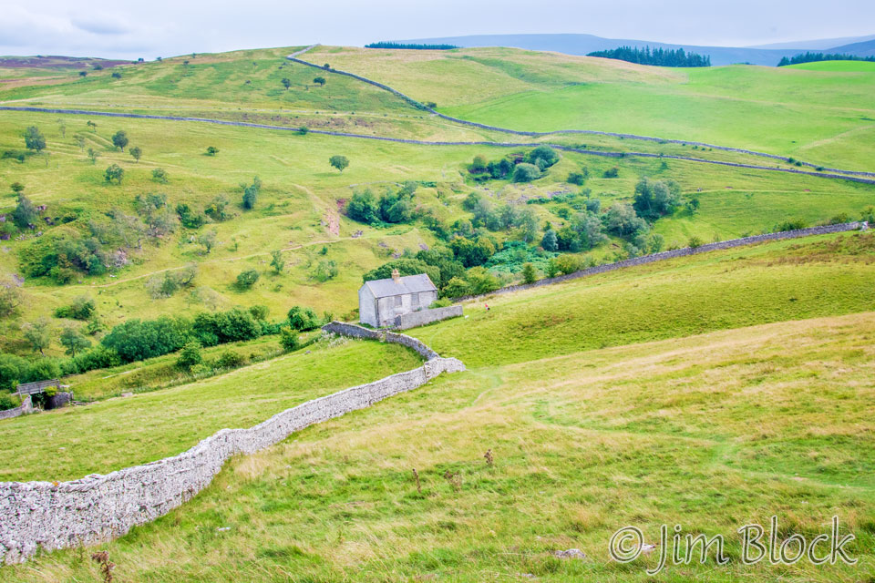
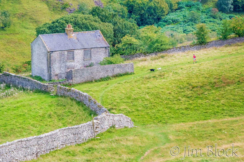
A guide book says that this is an old railway cottage. In any case, I really find the building interesting, especially with that beautiful stone wall that serves as a dramatic leading line.
This was an area known as Severals Village. It is an archaeology site and apparently one of the most important prehistoric sites in Britain. I certainly didn’t see much when walking through it. Perhaps it is all underground.
We soon dropped down to Scandal Beck and the Smardale Bridge over it.
")


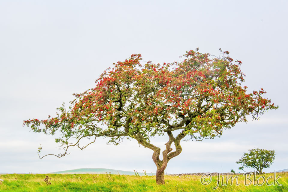
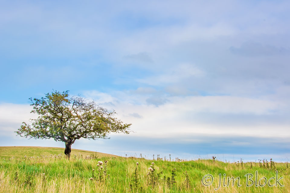
The next hour of the walk was photographically uninteresting until I came across an amazing tree. I love the way it stood tall before the bland sky.
Before we reached Kirkby Stephen, we had some styles, gates, and an old railroad underpasses to navigate.


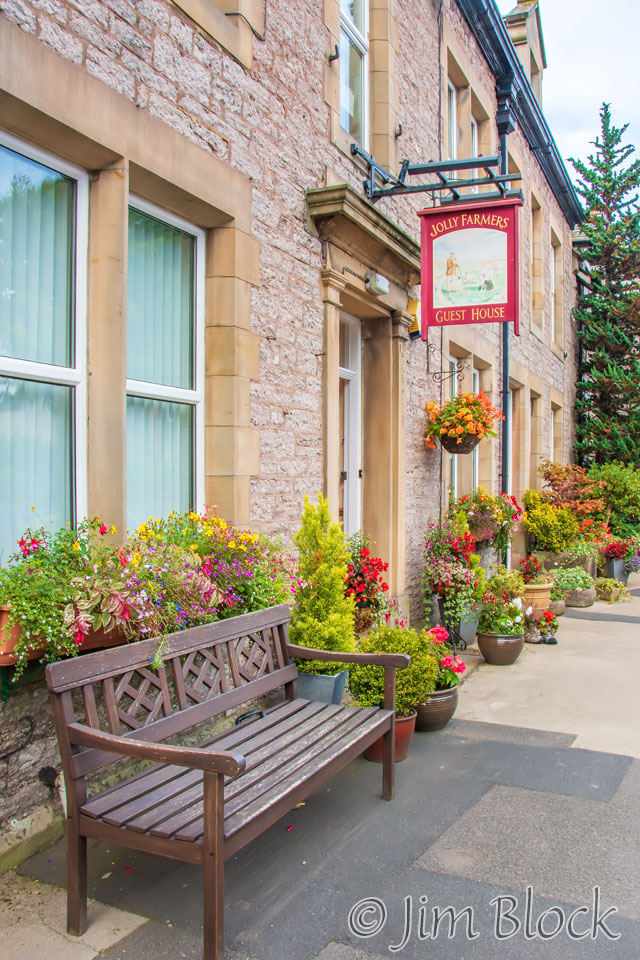
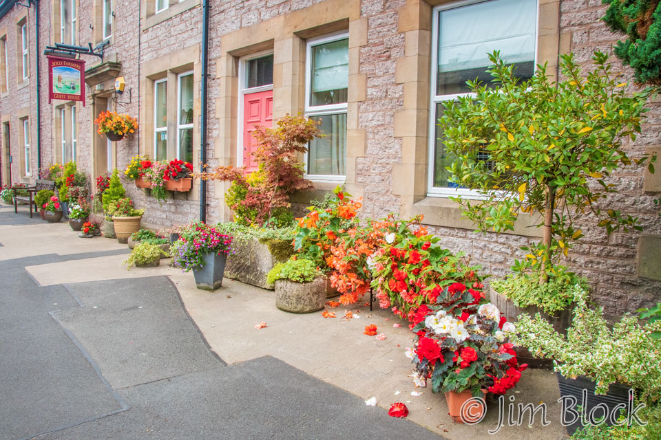
I reached the Jolly Farmers Guest House shortly before 5 PM and immediately made a panorama with my iPhone.
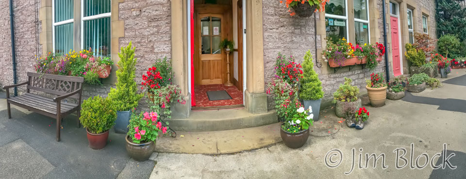
Here are two other photos of the front of this charming and elegant hotel. You can tell that Carol loves flowers. This inn was a great follow-up to the previous night.
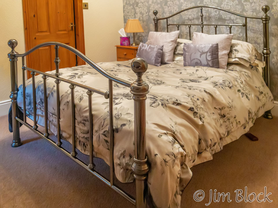
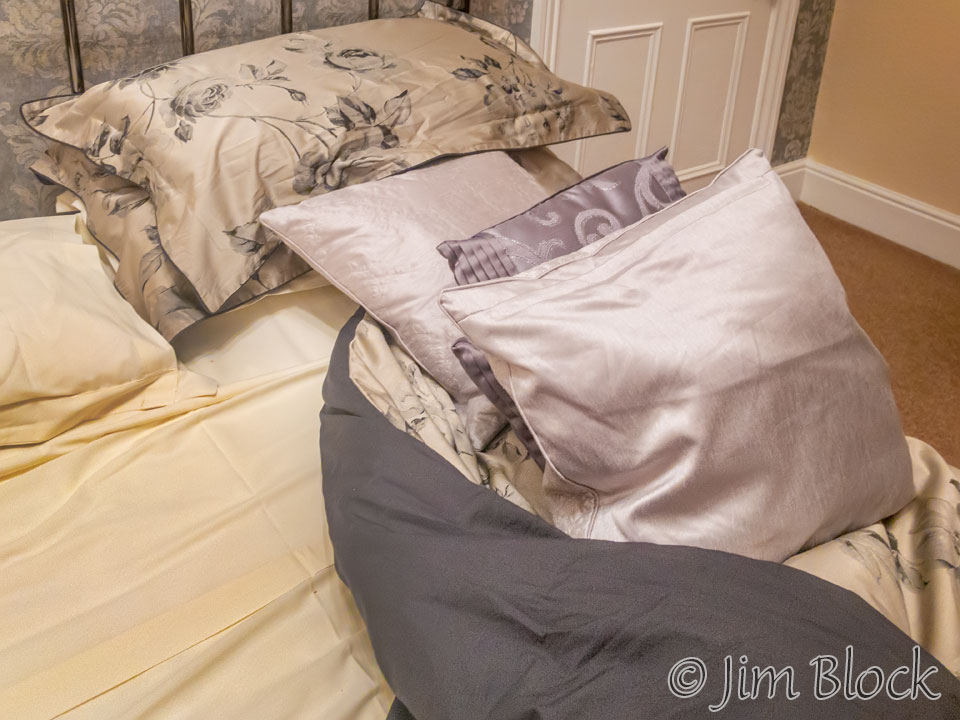
Carol showed me to my very comfortable room. I snapped a quick photo with my phone.
The back courtyard of the inn had some interesting flower arrangements. I wandered around and made the photos in the slideshow below with my iPhone. I didn’t realize it at the time, but the next day my iPhone would be my main camera during our walk, since it rained most of the day. I did get some early and late photos in Kirkby Stephen and Keld with my DSLR, however.


I stayed up later than usual that night, emailing photos and words to my wife, family, and friends in the US. I took one last photo with my iPhone before turning in for an excellent night’s sleep at 8:45.
I certainly recommend the Jolly Farmers Guest House if you are ever in Kirkby Stephen.
![]()