Kirkby Stephen to Keld
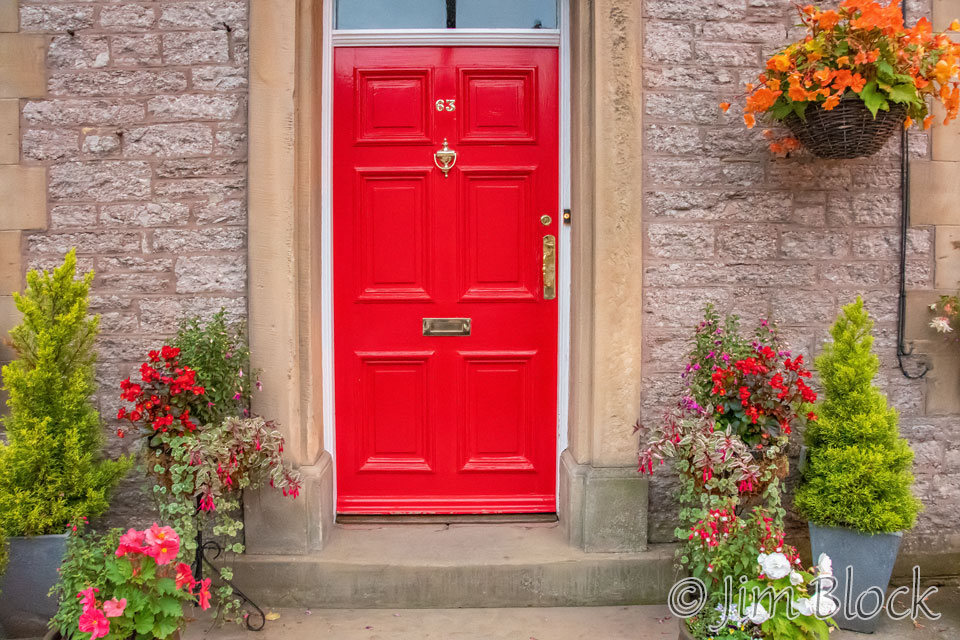
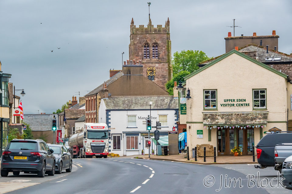
I guess we needed one wet day to get the real UK experience. And boy was it wet. Not only did it rain and drizzle, but we slogged through wet, soggy, muddy moors in heavy fog. I can’t remember ever being so wet with my clothes on. But the day didn’t start out rainy, so I was up early and got some photos around the village of Kirkby Stephen before breakfast, starting with a bright red door of our very nice Jolly Farmer Guest House.
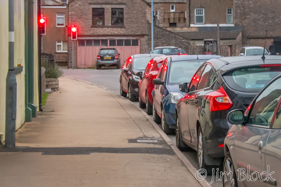
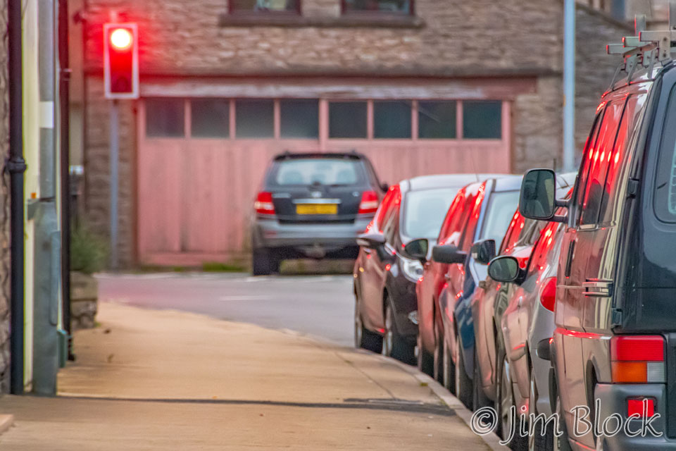
It did not take long before I was fascinated by a red stop light reflecting off parked cars. This was the first traffic light I recall seeing on the hike, except for at the train crossing in St Bees.
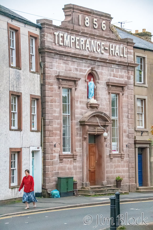
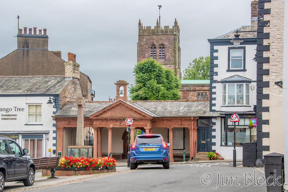
The town had a Temperance Hall and a 13th-century church, the Cathedral of the Dales.
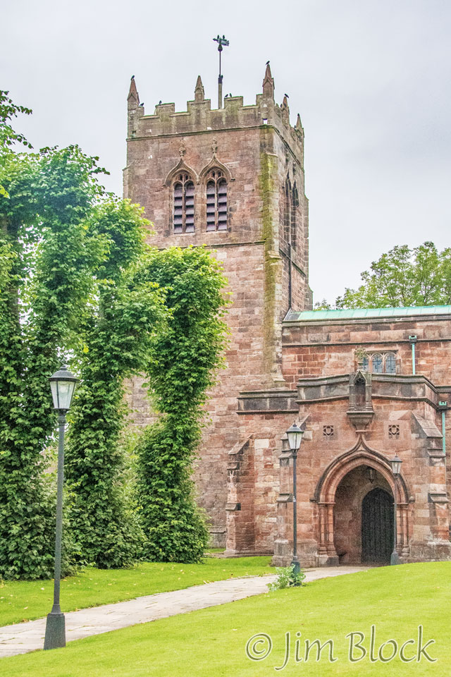
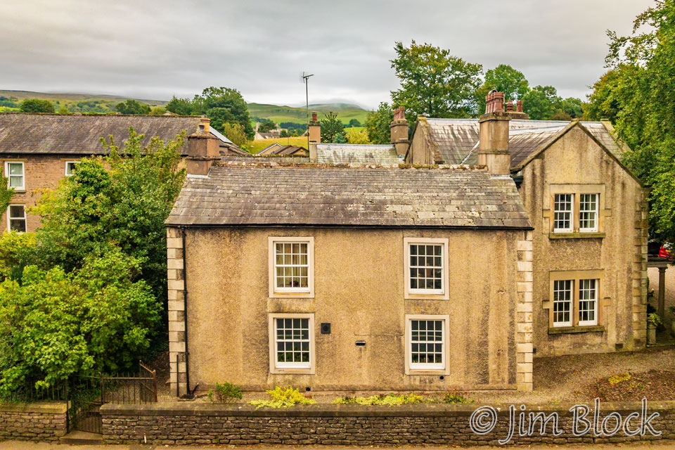
Here are some of the other photos I took before breakfast in Kirkby Stephen.


Back in the hotel I took a photo in the stairway and another out my room window before breakfast.
Breakfast was excellent. According to my notes, it was the “best breakfast of the trip. Even had cloth napkins. Excellent hotel.” It almost made me forget the marginal hotel and breakfast in Shap.


As we walked through Kirkby Stephen to Frank’s Bridge and the C2C Path after breakfast, I took a few more photos.
We did not get fully out of town before the rain started. So we stopped to put on rain gear.
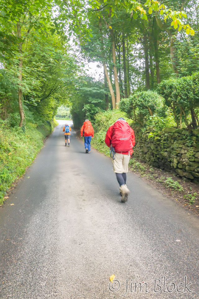
Off we went into the drizzle and fog.
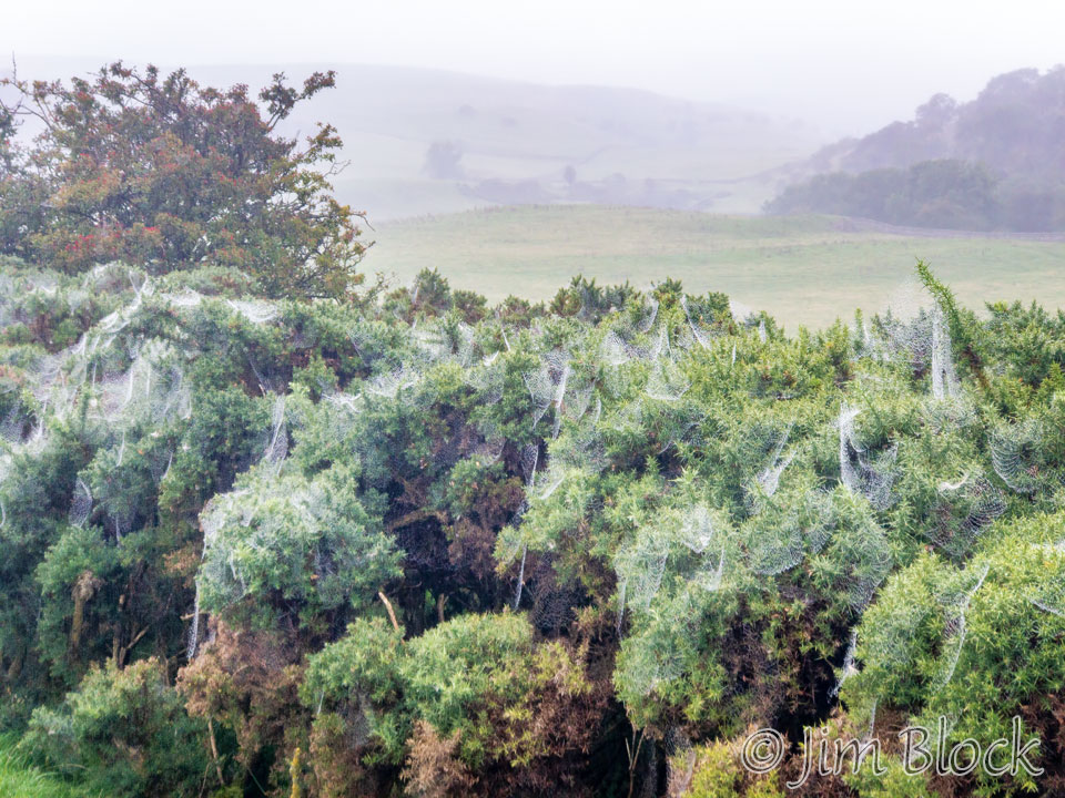
When the rain started I stowed my DSLR camera and relied on my iPhone for photos until we got to our lodge in Keld. But it was so wet that I took few with my phone. I liked what the moisture did to the spider webs.
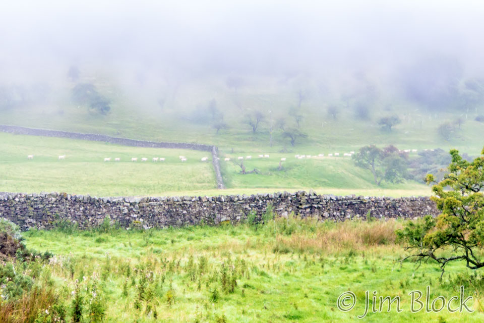
I got this photo of a line of sheep heading somewhere. Perhaps they knew where there was shelter from the rain.
There are three routes across the boggy Pennines to Keld. Depending on the month, one should favor one route over the other. Since we were hiking in early September, we would normally have taken the Blue route over the Nine Standards.
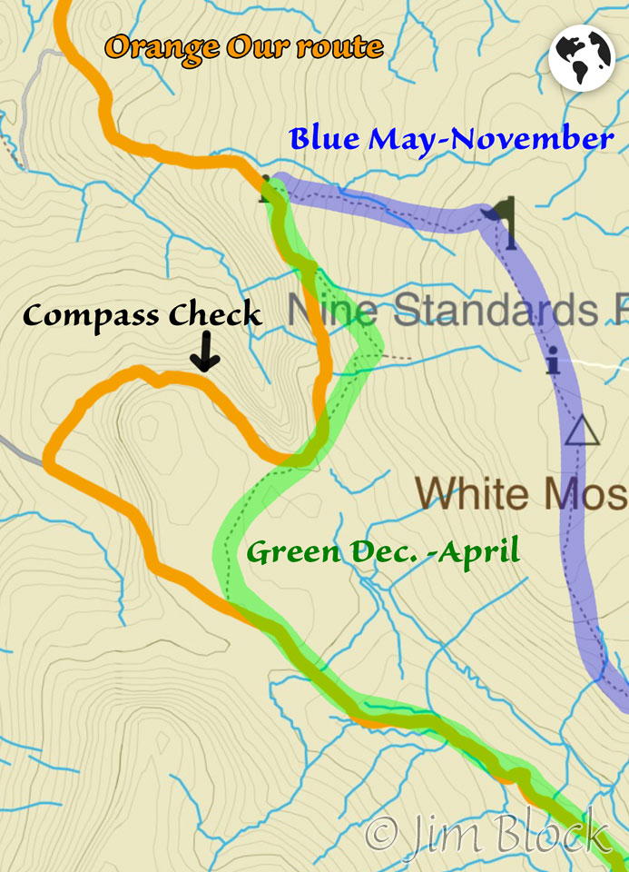
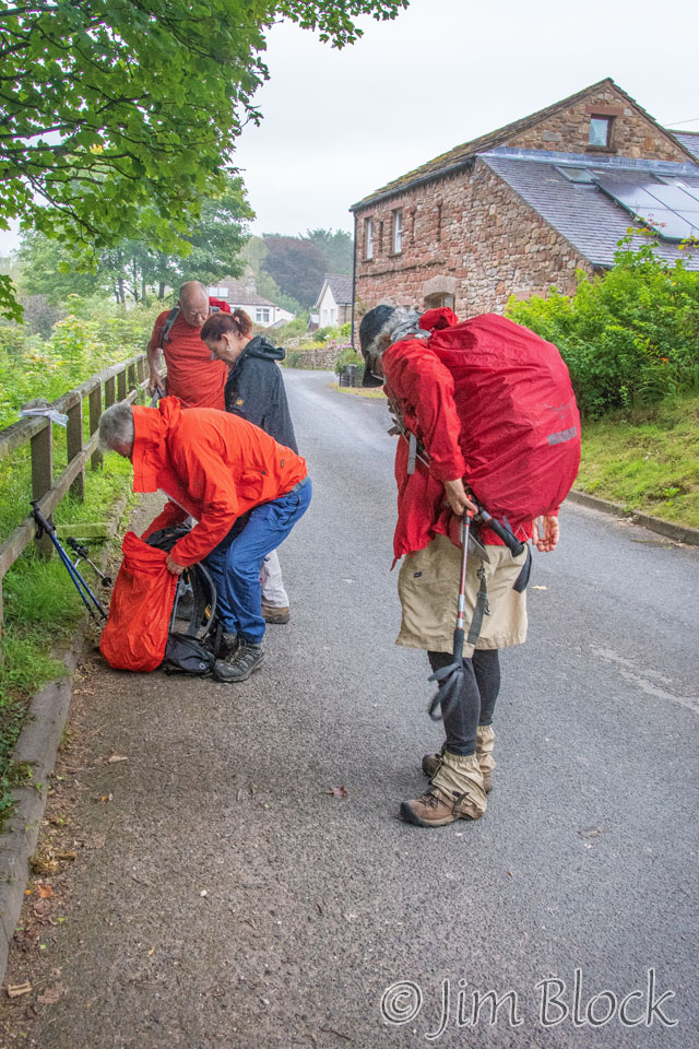
At the junction of the Blue and Green routes, there were seven of us, three of whom I did not know. We wandered around near the junction for a bit trying to make a decision. I wanted to take the seasonal standard, the Blue route, but others felt that the Green route would be less muddy. I couldn’t tell, there was mud and water and fog everywhere. We learned later that day from those that took the Blue route that our decision to use the Green one was an excellent choice. Folks got into mud over their boots, some came close to losing their boots, and some were almost in tears, or perhaps “almost” is not correct.
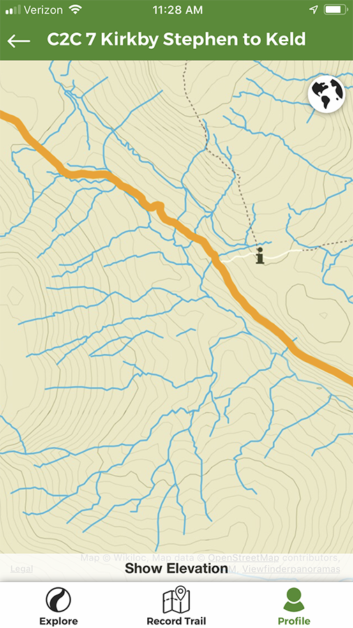
The modified screen capture to the right taken from Wikiloc on my phone shows the Blue and Green routes. The Orange line is the actual track as recorded by GPS on the phone. We could not follow the pre-recorded Wikiloc track because that one led over the Nine Standards on the Blue route.
For a while we were correctly following a stone wall off to our right, which someone said the guide book instructed us to do. But the fog was heavy, and we did not notice that the wall made a U-turn. We did too, without realizing it, diligently keeping the wall within sight on our right.
We got to a point where there were two possible paths ahead. I decided to pull out an actual old fashioned compass that was in a mesh compartment on a shoulder strap. To my surprise, it indicated we were heading in the wrong direction by 180°. We should have been heading SE but we were heading NW.
I told the others, and Stephen pulled out his iPhone with Wikiloc and, more importantly, a map. After much fiddling and drying and re-drying the phone (the touch control gets all messed up when the screen is wet), the map told us where we should head to get to a road and out of the mud.
Looking at the orange track here, it might have been shorter and better to backtrack to the Green route (if we could find it when we got there), but we chose instead to loop around a hill and take a slightly shorter route to a road.
We headed across a very wet and muddy area with no trail at all. However, that was actually not much different from the Green or Blue routes, since much of those two do not have discernible trails, even under excellent conditions. Our conditions were far from excellent. Distant landmarks were useless since we could see no more than about ¼ mile in the fog. Thank goodness for GPS and phone maps.
In his “Coast to Coast Path” book, Stedman commented about the two high routes, “it’s well worth taking your time to avoid the worst bogs by all means possible: backtracking, taking a running jump, using a pole, letting your partner go first (always a sensible tactic) or even using them as a plank; whatever works for you. One Trailblazer updater got a bit blasé here and sank down over his knees, while during another update we met a woman on the trail with a broken wrist – caused, so it transpired, by getting her arm caught in the loop of her trekking pole which in turn got caught in the mud.”
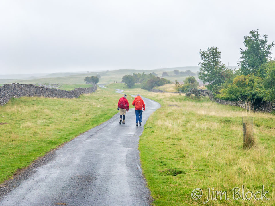
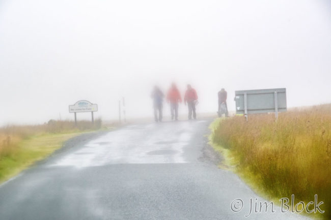
We eventually reached the road, somewhat before noon. The rain had let up a bit so I foolishly took out my DSLR camera. I made one photo, which can be seen here. Note the blurry parts of the photo due to water on my filter. I immediately put the camera away until we reached our lodge in Keld.
Here is our group heading down the road. Some of us followed the road all the way to Keld while others detoured to visit Ravenseat Farm for some scones and cream teas. But Amanda Owen, the “Yorkshire Shepherdess”, was not around and the place was closed.
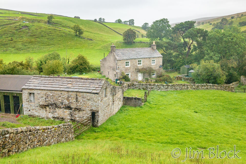
There was little to see and photograph for much of the hike to Keld. Here are three views of an abandoned farm not too far off the road.


As we hiked toward Keld, I thought about a story Jim told me a few days previously. Jim had walked the Coast-to-Coast Path three times previously. On one of those hikes, there was an adventure in the moors between Kirkby Stephen and Keld. It seems a rather large man with a very heavy backpack got stuck in the mud. He was unable to get out. Eventually he had to be rescued by a helicopter.
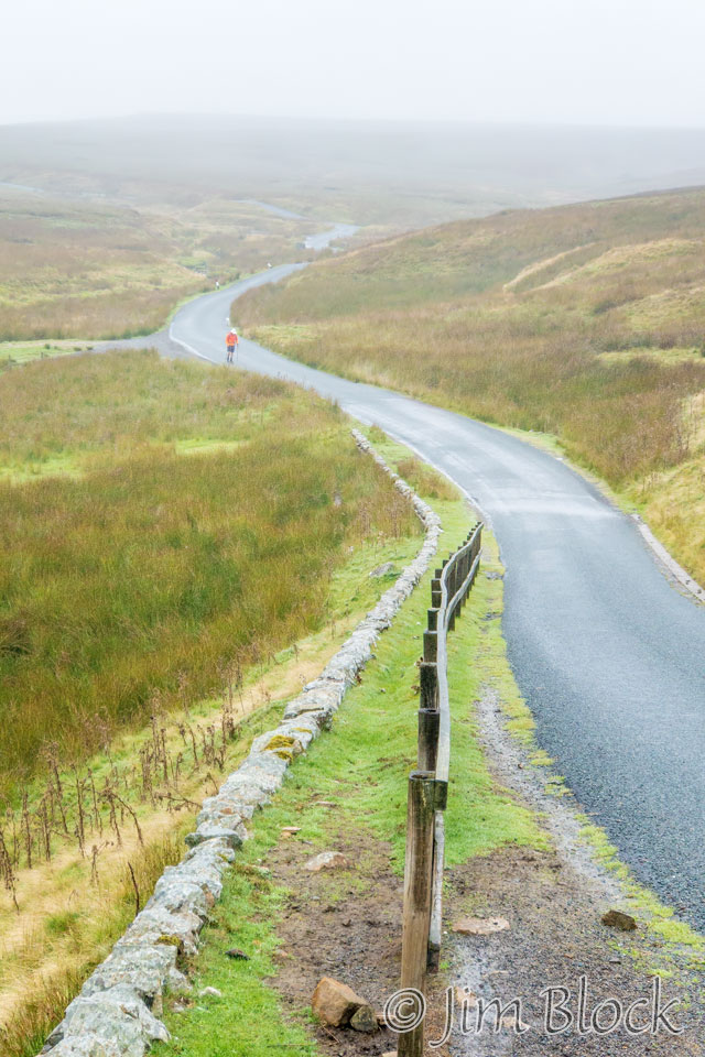
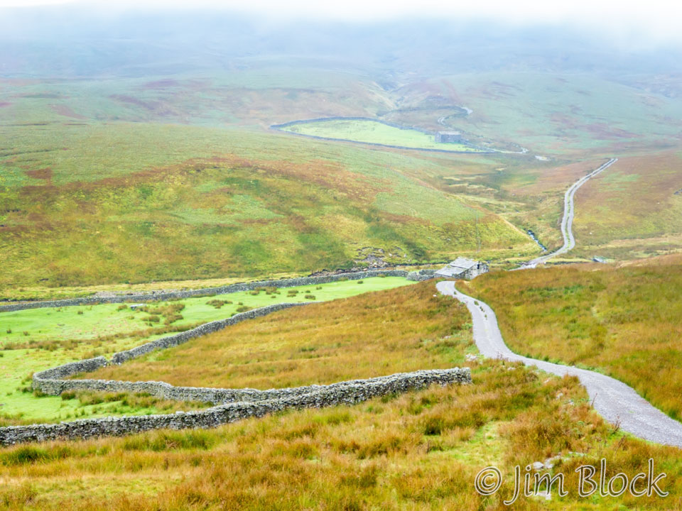
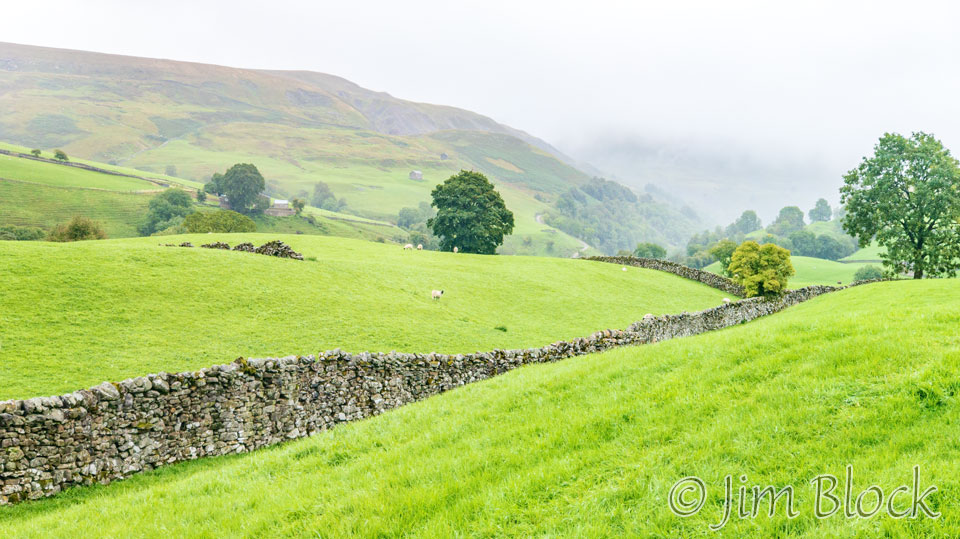
Stephen’s knee was acting up, and I had gotten a bit ahead of him at this point. You might be able to spot him back along the road. Farther down the road toward Keld, I took the photo below right of the moors.
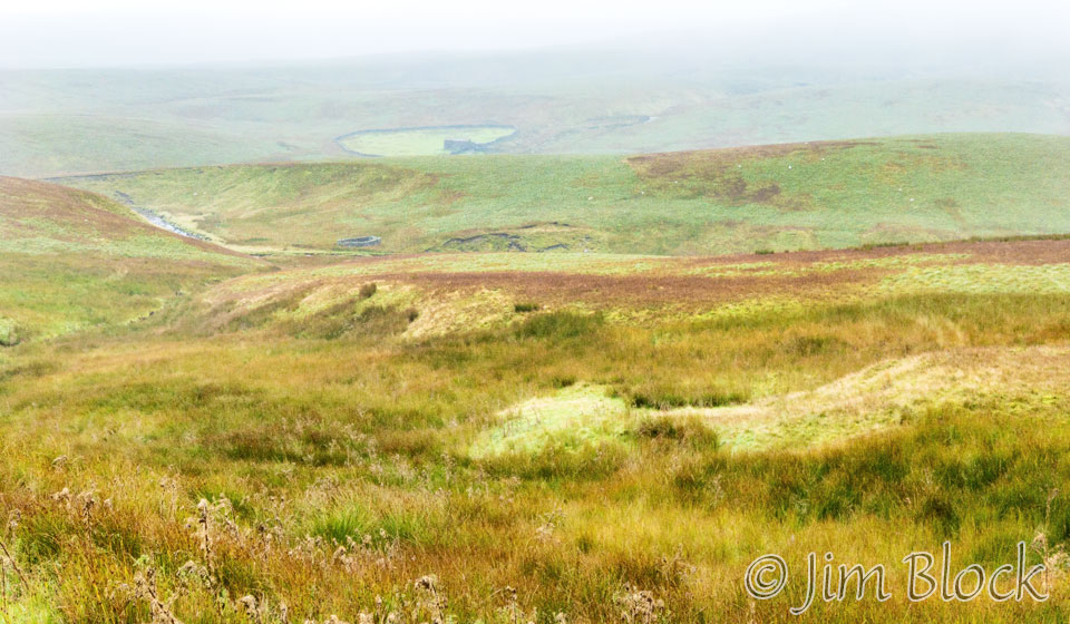
This area is filled with many small streams trying, apparently without much success, to drain the moors. You can see some of them in the screen shot of a Wikiloc map below left.
On the right below is a view down one of the few side roads in this area.
Here are more of the photos I took as we walked to Keld. One of them has been edited to look somewhat painterly because the original was not all that sharp.


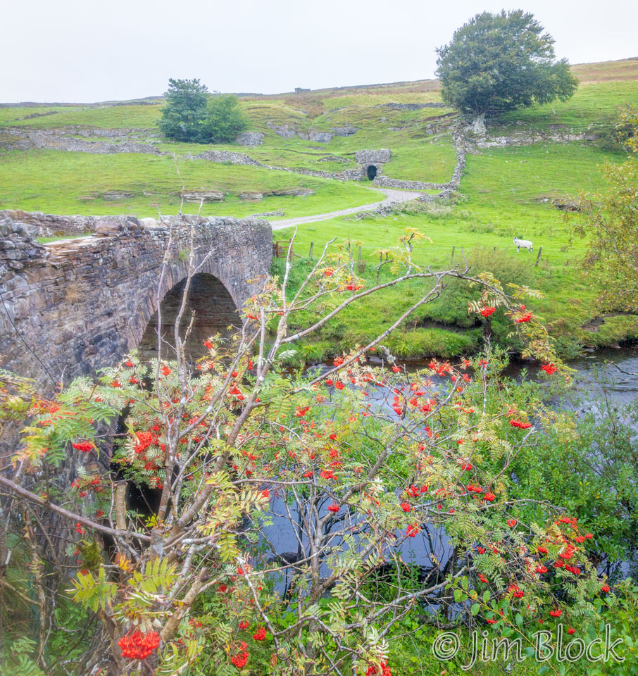
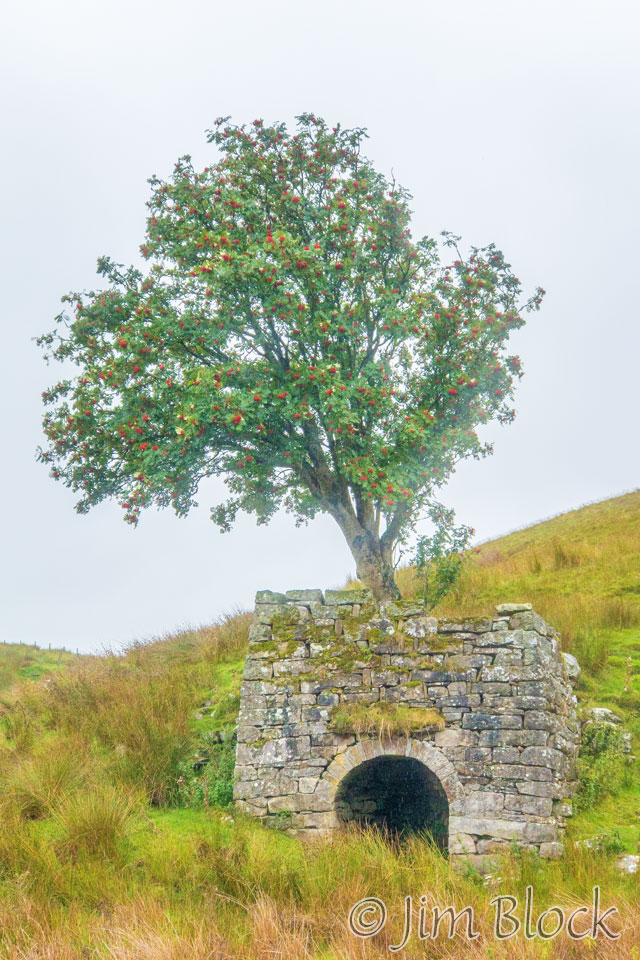
Stone arch bridges are amazing constructions. I believe the “cave” along the road in the upper left of this photo might be an old iron furnace.
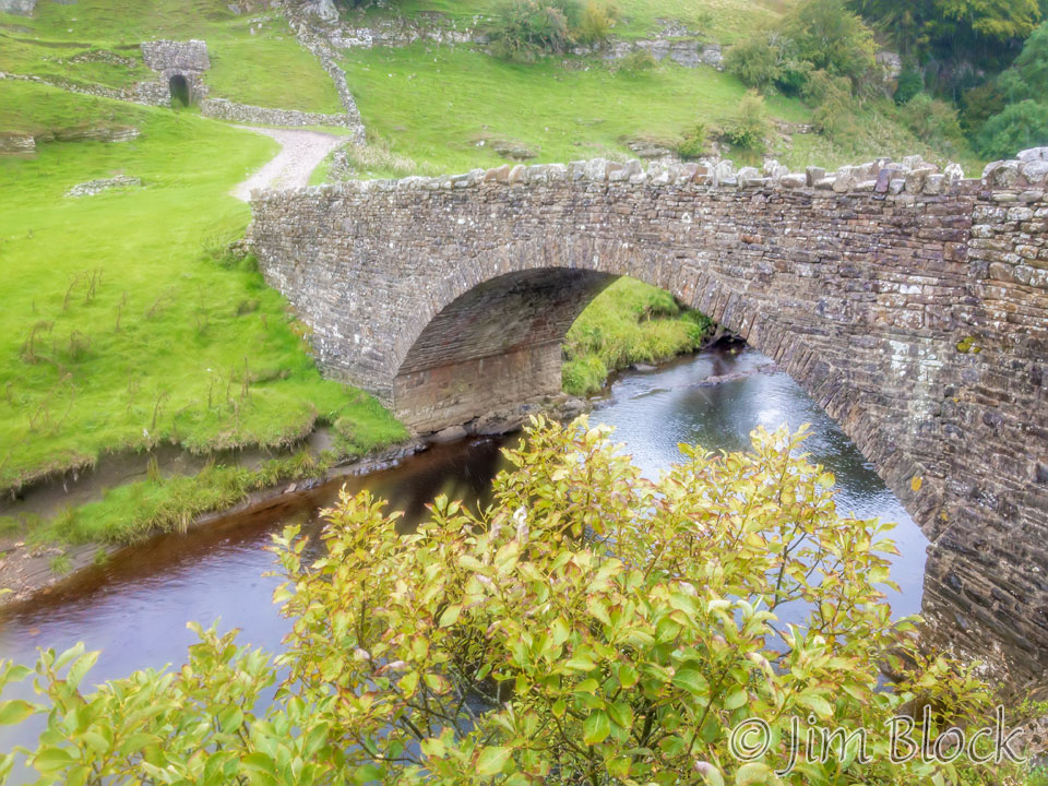
Here is a view of a similar furnace, and also the bridge from the other side.
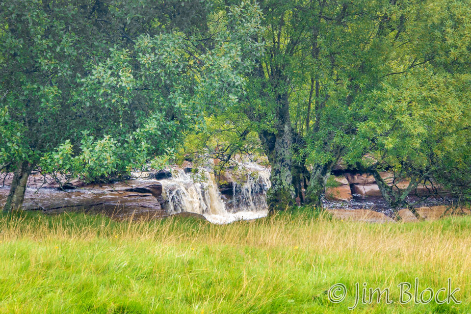
Soon after that bridge, we reached the Wainwath Force. “Force” is a Norse-derived word for a waterfall. It might be the English version of the more common “foss”.
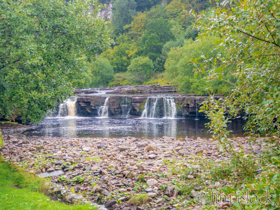
A short distance later I took this photo of the Raiby Force in the Whitsundale Beck that flows along the Blue route. Or perhaps the river is called River Swale at this point as the Whitsundale Beck joined it a bit upstream.
Before reaching the Keld Lodge I took two more photos seen below.
The Keld Lodge was very well equipped for waterlogged hikers. Upstairs was a large, very warm, room devoted to drying clothes. However, after forgetting to rescue a pair of Darn Tough socks from the drying room at Lagazuoi, I didn’t want to risk again leaving an important piece of clothing in a drying room, so I my drying in my own room.
My room had a radiator in the bedroom and another with a drying rack in the bathroom. They worked great, and I got almost all of my clothes dry. However, I didn’t realize that the heat would be turned off in the evening, so I neglected to get my wet hat on one of the drying racks early enough. But by the morning it was adequately dry.
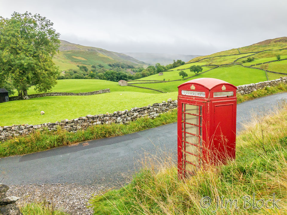
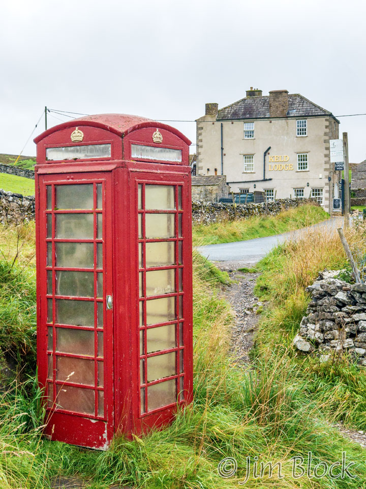
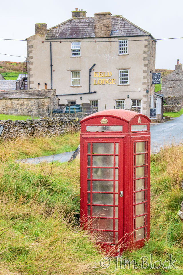
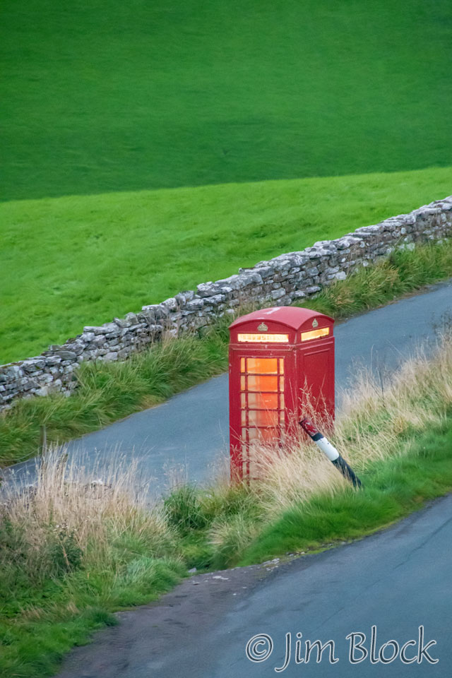
I was fascinated by the telephone booth along the road. Here is a photo I took from near the Keld Lodge. If you study this photo and the two below it, it might seem that something is amiss — the phone booth is on the wrong side of the road. That is because it is at the junction of two roads, one of which makes a sharp left to the village of Keld.
Below are two photos of the phone booth with the Keld Lodge in the background. My room window is at the top left. This pair of photos is a nice example of perspective. In order to change perspective, which is the size relationship of objects in a photo, you must do two things. You must change your focal length and (this is the part most people miss) you need to move your feet. The photo on the left was taken with a wide angle lens fairly close to the telephone booth. I then backed up and photographed the telephone booth with a much longer lens.
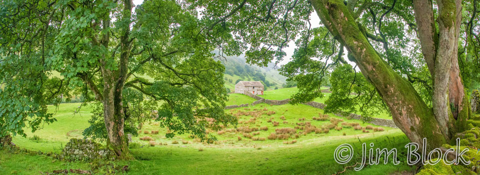
Dinner wasn’t for a while, so I wandered a mile or so down the road. Here is a four-shot panorama I got of an old stone building framed by some interesting trees.
Here are other photos I took during this excursion before dinner. Two of these were taken with my iPhone. The rain had stopped so I started using my DSLR camera again after arriving at the Keld Lodge.


I enjoyed an excellent dinner at the Keld Lodge with Jim, Stephen, and Jim’s friend, David, who joined us in Kirkby Stephen just in time to walk all day in the rain. The starter for dinner was salmon, and the main course was sea bass.
Bedtime that evening was 8 PM for me. Here is a photo I took out my window shortly before heading to bed. I was amazed to see that the phone booth was lit, and it stayed lit all night.
If I ever return to do the last third of the Coast-to-Coast Walk, I will likely start in Kirby Stephen, the traditional halfway town, and redo this day to hopefully see what I didn’t see and experience the hike while staying somewhat dry. In any case, this was a very wet day I will long remember for its uniqueness.
![]()