The 13th Annual Terry & Ben Claassen Memorial Northeast Kingdom Lakes Century Tour was a mouthful in more ways than one. Food was plentiful at four spots along the route and the volunteers who supplied and served it were cheerful and friendly. It was easy to gain 5 pounds while riding 100 miles.
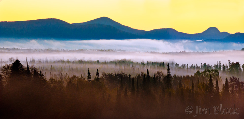
I left the cabin on Willoughby before dawn having spend the night with some great folks playing pétanque and feasting on BBQ-ed steak and other delicious food. I wanted to photograph the early light, and I wanted to get an early start on the ride knowing I would stop from time to time to pretend I was taking photos while actually resting and catching my breath. I was not disappointed as my car climbed Route 16 toward Barton. The view of the fog in Willoughby Gap was spectacular. Here is a two-shot panorama that hopefully conveys some of what I saw and experienced.
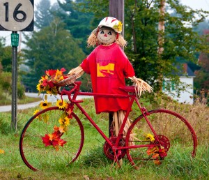 The entrance to Silver Lake State Park was marked with a bike. Several bikers were already at the registration tables, which wouldn’t open for a few minutes. I used the time to trace the route on a handout with map and directions, being careless of the details at Island Pond. When registration opened they didn’t have mine. Instead of questioning whether I really preregistered and paid, Ellen apologized, gave me a paper to fill out, and told the man at the Tee-shirt table I was to get one even though I didn’t have a coupon. Very typical of the friendly people I met at each rest stop along the way. After a quick photo of the fog just lifting over Crystal Lake, I was the first biker to leave the park.
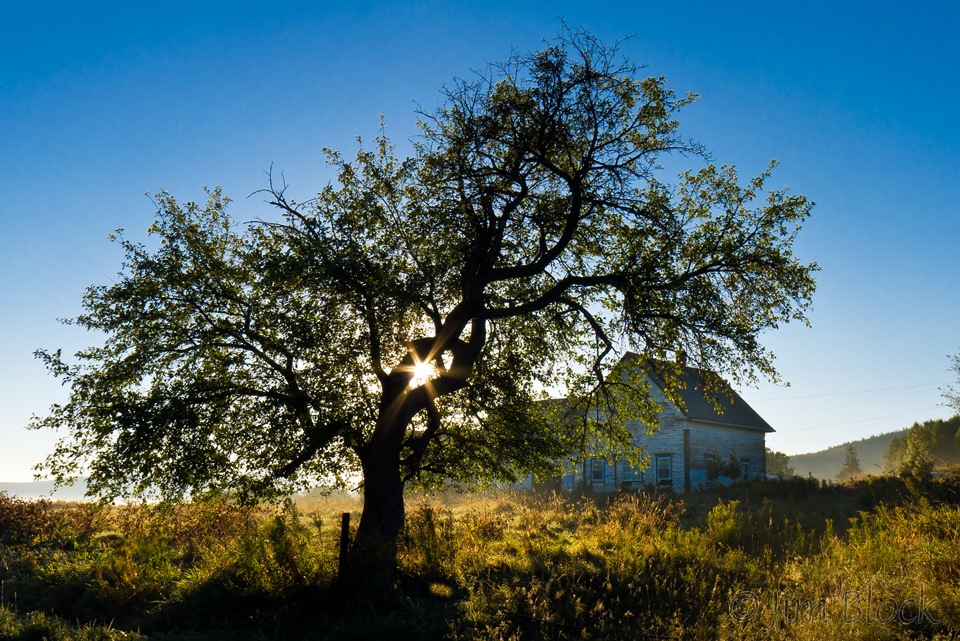
 The ride starts with some serious uphill, and good thing. I needed to warm up my body and muscles as the morning was clear and cold. Near the top of the hill I made my first photo stop–I just can’t resist creating a sunstar through a backlit tree. The secret is to use the smallest aperture you can (only f/8 on my new LX5 but physically very small) and the widest angle you can to make the diaphragm opening as small as possible to make the diffraction (bending) of the light as dramatic as possible.
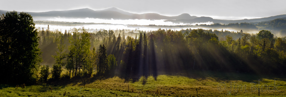
 A short distance along I got another view of the fog in the valley and over Lake Willoughby. I stopped to make a quick three-shot pan with the LX5. I’ve had this camera for a very short while and I really like it.
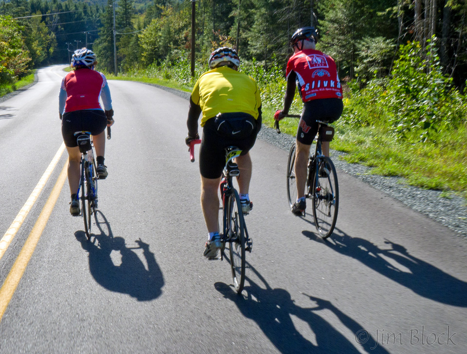
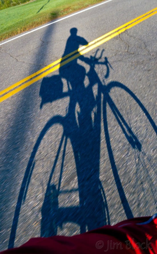 Across from the beach at the northern end of Lake Willoughby was the first rest stop. I sure didn’t need food or water yet, but I grabbed a power bar just in case I faded before Derby Line. Heading up Route 5A the sun finally shown fairly steadily which helped warm me and provided an opportunity to do a “self-portrait” of my shadow while riding along.
Around about this time Michael overtook me and rode with me for several miles. I finally took pity on him and told him to not let me hold him up. Shortly after that he was out of sight. But I met him again at the Derby Line rest stop. I was the second rider to reach this quarter-of-the-way milestone—once I found it. I would have been fine if I would have just kept going, but passing the border security station for ENTERING the US and seeing the road signs in both directions ahead say “Canada”, I decided to stop to consider my options and shed one layer. 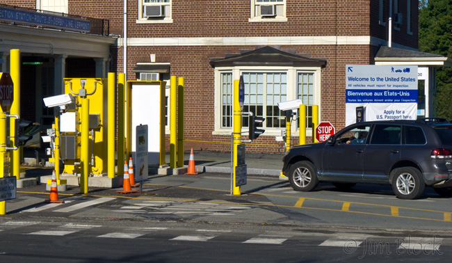 Seeing no good alternative I charged ahead rounding a corner and found the rest stop and Michael. And food. Bananas, peanut-filled bagels (I had one), more power bars, water, and Gatorade. I topped off my water bottle with Gatorade and then the mobs arrived—about a dozen bikers in several groups. They asked and got directions on how to make it through Derby Line without accidentally entering Canada.
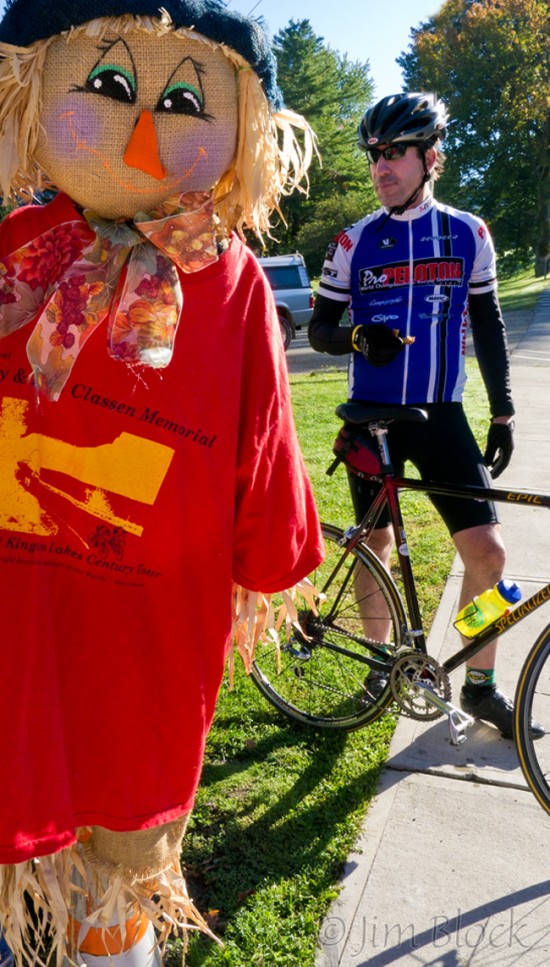
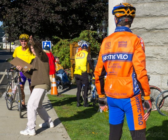
The road took us over a bridge and a view to the south at another entry point into the US. Strange, but not that strange for a town with half of its library and the stage of its theater in Canada while the audience at the theater sits in the US. I recalled a bike trip 30 years ago or so with my wife and daughters. We entered Canada at Beebe Plain where the Canadian officer waved us across the border from inside his small building while talking on a phone well back from the window we peered through. After weaving many times across main street entering and leaving the US as we did, we traveled through Canada until we reached Derby Line. There we were again waved through by a guard who was talking on a phone—perhaps to his Canadian counterpart in Beebe Plain. 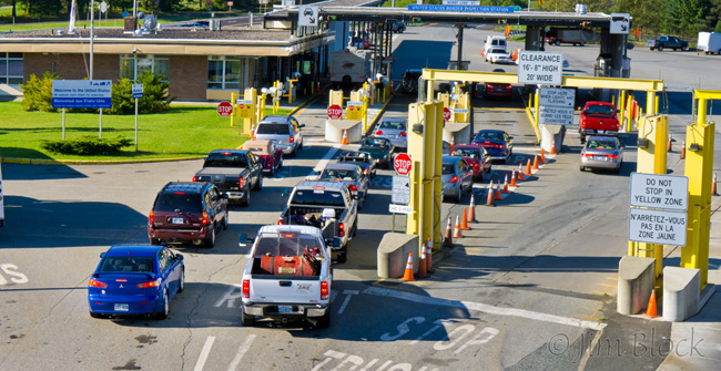
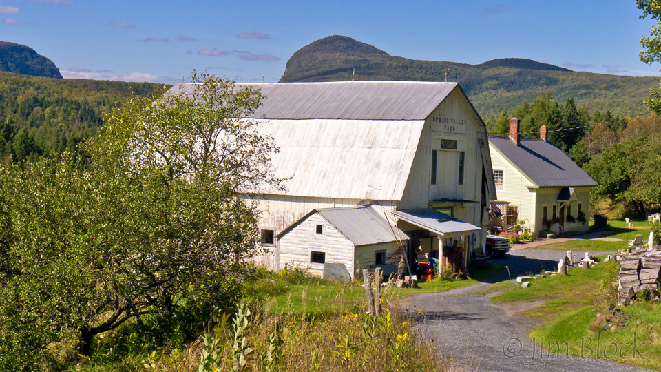
The route seemed hillier than the advertised 5000 feet of climbing, but the scenery made up for it. While I was photographing this farm in Holland, two riders passed me. They were two of many on this second leg of the ride.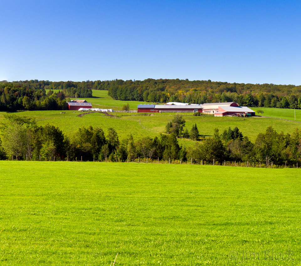
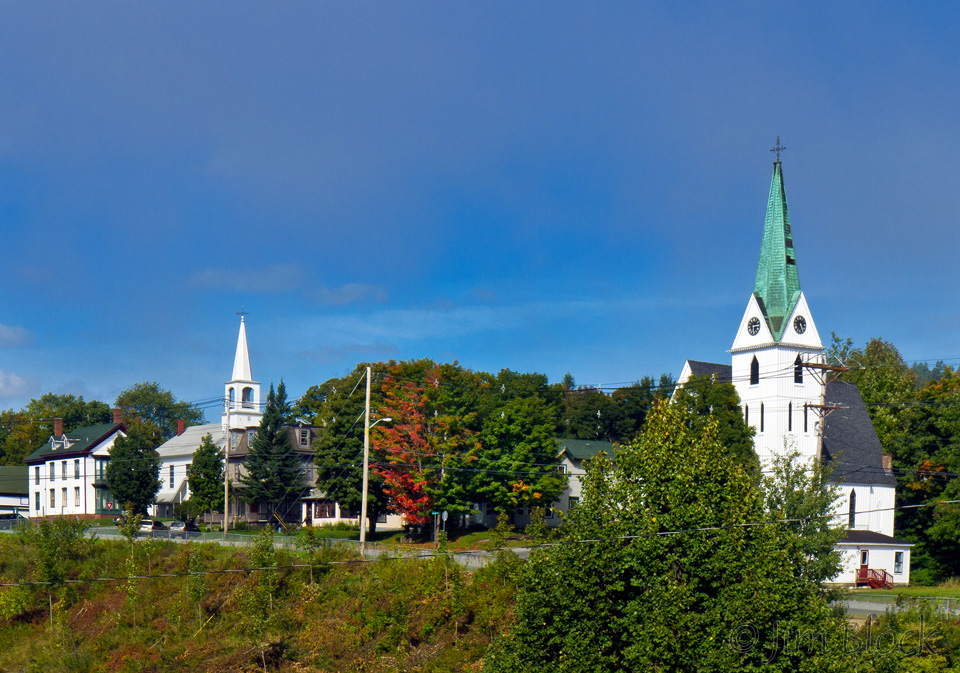
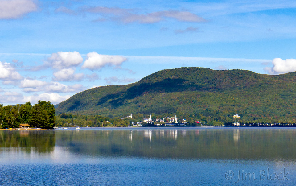
Over some hills and then a long down brought me to Seymore Lake in Morgan, one of the many lakes along the route. From there it was numerous ups and downs to Route 114 north of Island Pond. I knew the route from here—straight through Island Pond on 114 to Lyndonville then north on 5 and then 5A to 16. I entered Island Pond and took a right to continue on 114 to the “lunch” rest stop. Rode out of town and … no rest stop. What is wrong? Pulling out the map, I found I was accurately following the route I outlined in orange at the registration desk. However, this was not the correct route as I discovered when I read the detailed directions on the same sheet. The actual route circled Island Pond (the lake, not the town). So I backtracked a mile or two, headed east on Route 105, then took a right toward Brighton State Park and lunch. As I did so I took a photo of churches perched beyond the RR Tracks above town and the lake just barely recovering from the morning fog with the namesake island coming into view.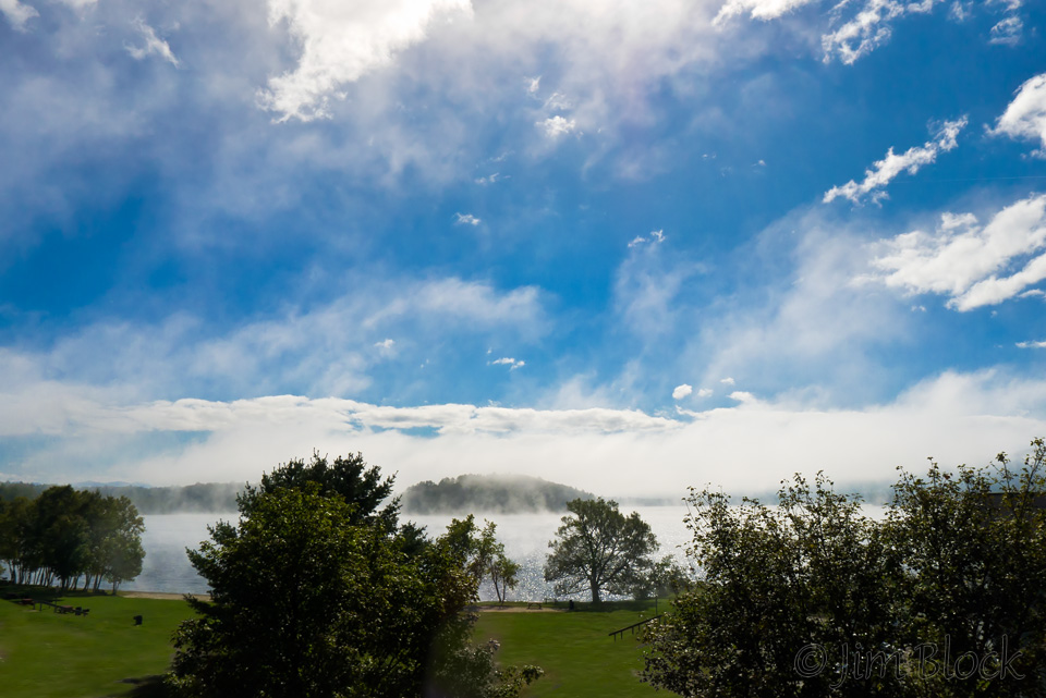 The lunch stop at Brighton SP on a beach featured smoothies, chili, absolutely fantastic cookies, and many other treats. And the view across Island Pond to the town with the same name was quite nice.
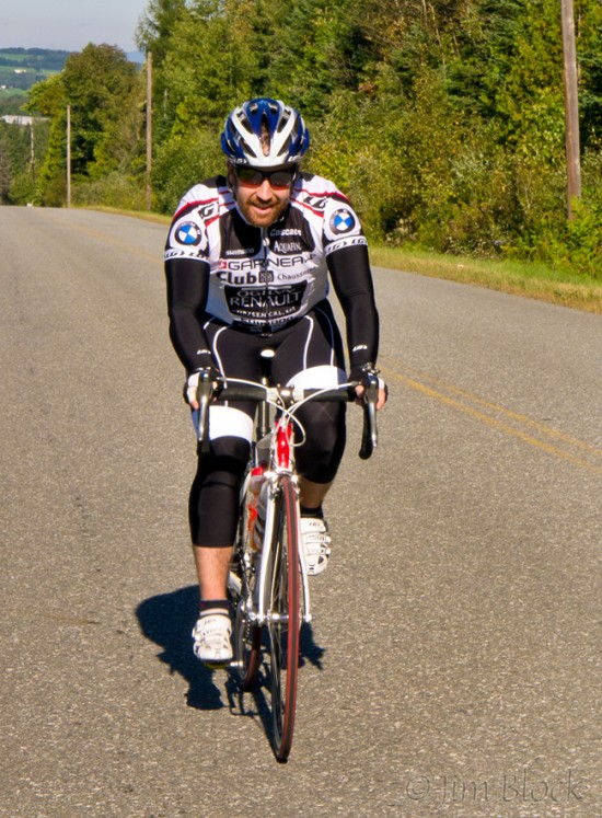
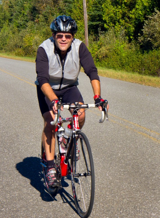
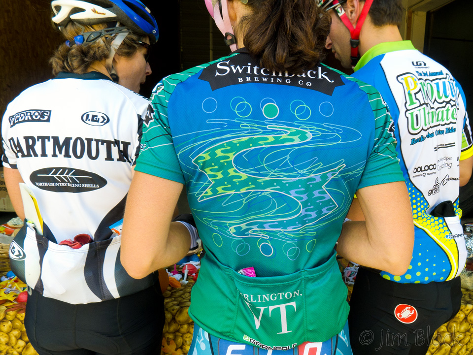
 The ride south on Route 114 to Lyndonville was a real slog. We had a strong headwind the whole way, plus a number of hills to climb. Perhaps I shouldn’t have had so much chili and so many cookies. I was passed by a trio riding fast and then a half dozen young riders with “Dartmouth” and “Ultimate Prouty” (200 miles in 2 days) jerseys. I passed my first bike riders —a pair with hooded sweatshirts riding 3-speed bikes. Oh yes, I also passed a number of bikers heading the opposite direction. But it wasn’t a race and my goal was to get some photos as well as finish before dark. (I actually finished before 4 pm.)
At Lyndonville we turned north and soon reached Sheffield Potato Company for the 75-mile rest stop and some baked potatoes with lots of toppings. Here I caught up with the “kids” from the Hanover area. The potatoes are in the lower right of this photo and the dark cookies on the plate were some of the best chocolate cookies I have ever tasted. And every stop had bananas and bagels—staples of bikers it seems.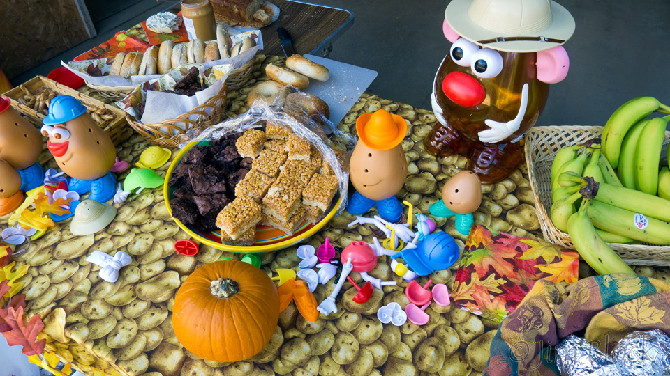
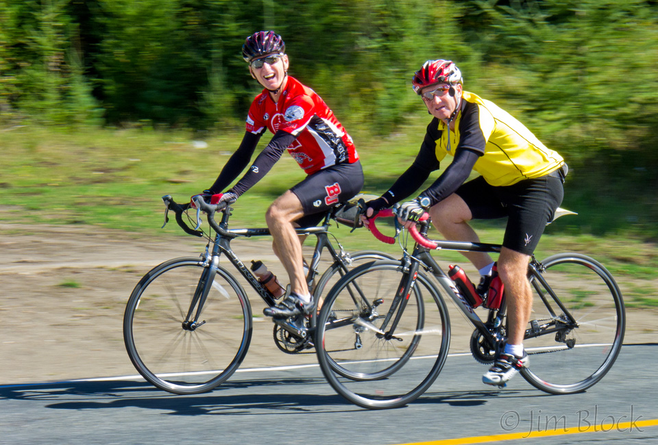
 More hills up Route 5 then more on 5A. Finally the first view of Willoughby Gap. While I took this photo several riders passed me. I managed to pan with them and got a decent motion blur with the riders reasonably sharp and the wheels and background blurred. The trick is to follow through and not try to stop as soon as you click the shutter. This is a much better way to convey a sense of motion than to freeze the action with a fast shutter speed.
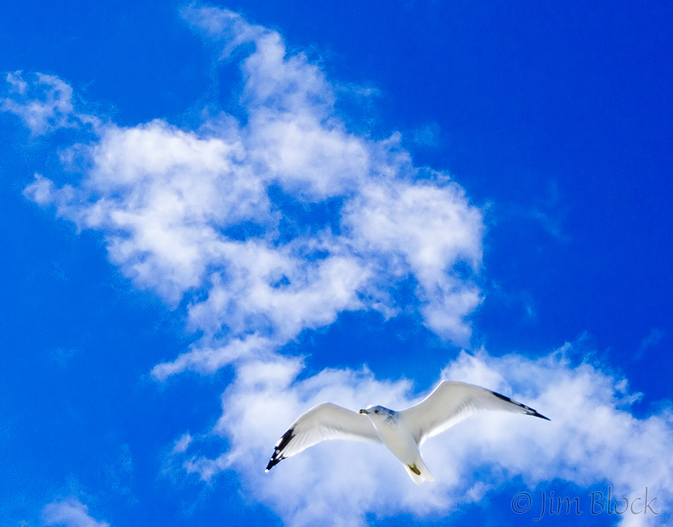
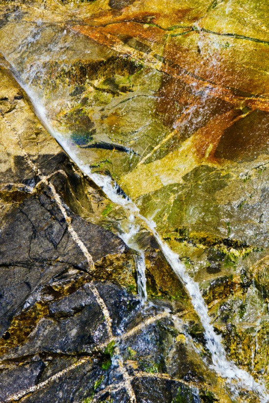 Finally Lake Willoughby. This last 25 miles was rough, even without a headwind. I photographed a waterfall coming down Mount Pisgah. I rode past the wonderful set of cabins where I stayed the night before and would return to in triumph for another game of pétanque (and, unfortunately, another trouncing of the men by the women) some more cheerful company, and another great meal—though I certainly was not at all hungry after that baked potato and huge chocolate cookie at the last stop. Four other members of our group had also done the Claassen, but on different routes. At the rest stop on northern end of the lake I got a photo of a gull. This is not easy with a point-and-shoot camera. But it was made easier by the fact that the conditions were ideal for photographing birds in flight. The sun and wind were at my back so the gull was nicely frontlit and relatively stationary as it glided. The presence of a table full of brownies next to me at this final rest stop didn’t hurt either.
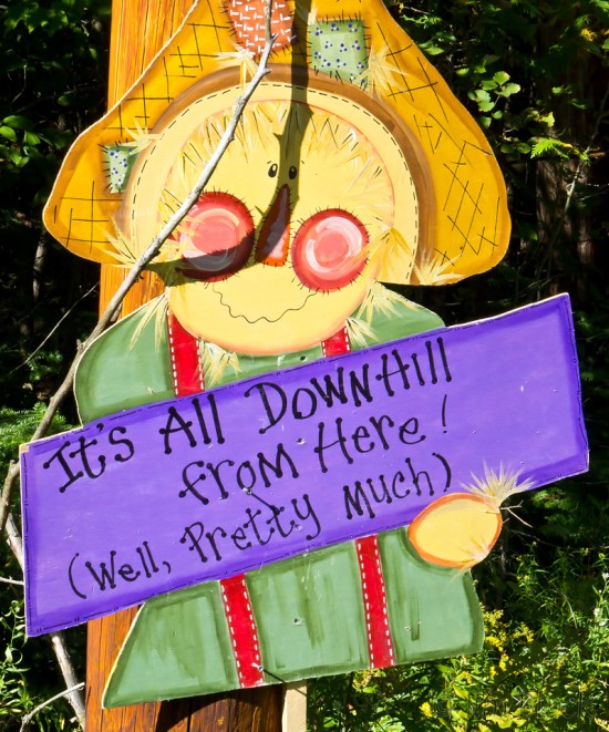
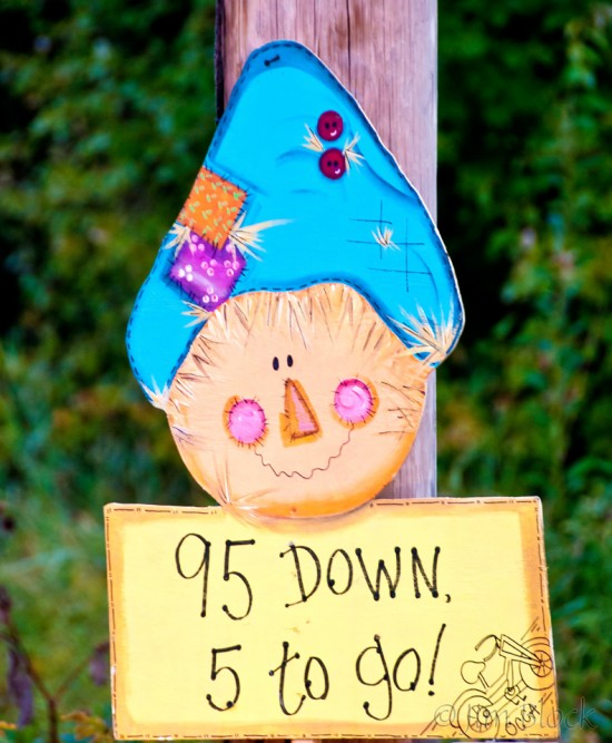
 Almost done now, except the sign didn’t tell the accurate story. Still a lot of uphill after the “It’s All Downhill from Here” claim. However the next sign stating 5 miles to go seemed right.
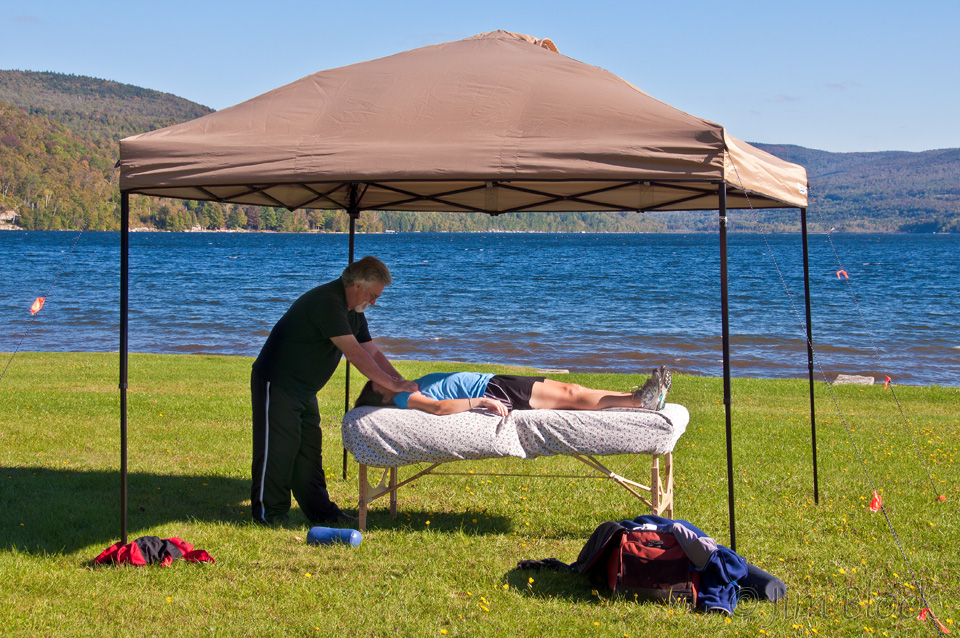
I followed some riders and passed them as I made a mad 3-mile downhill dash to the finish. (I’m much faster downhill than I am uphill.) At the park I sought out the massage table and waited patiently. This was a great way to end a great day.
 If you would like to read about my very first century ride, please click HERE. And if you are still interested, my second is found HERE.
