Bed at 8:15 PM last night. Awoke at 4 AM after a good sleep and lay in bed until 4:45. I bandaged my big toe (only minor blister problem). We stayed the night in Jagat at Hotel Mont Blanc near the entrance to the town. Tim and Milt were feeling less than perfect. I survived the whole trek without any illness, save for a few difficult days with a pulled calf muscle.
I begin this page with a tribute to some of our porters and sherpas.


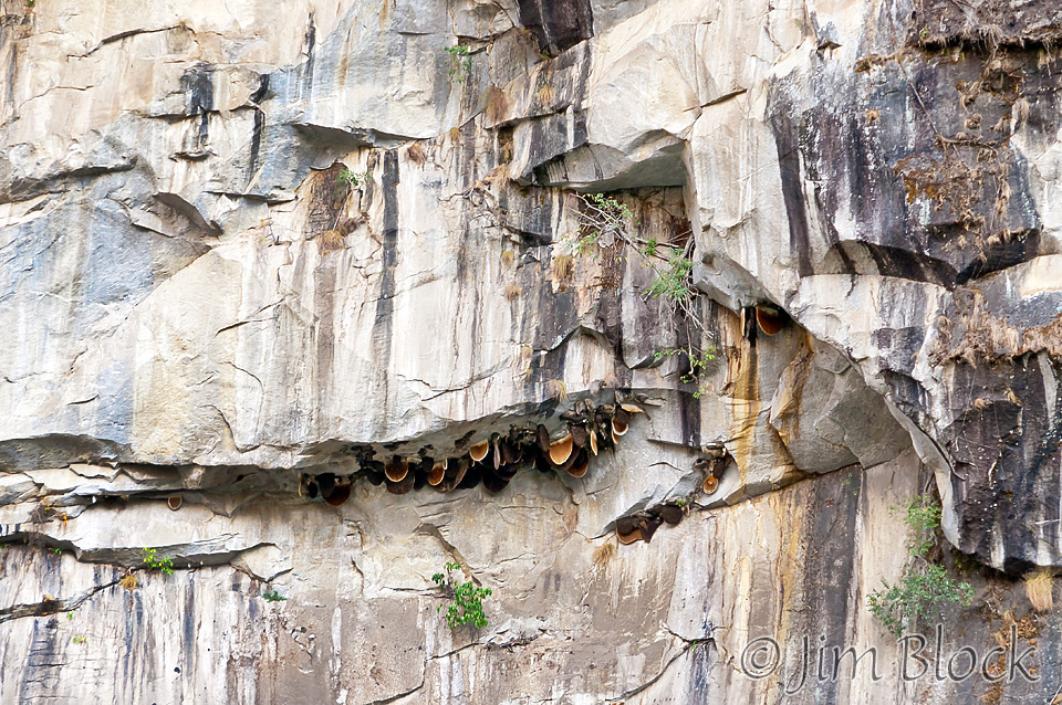
Early morning we saw some bee hives hanging on the rock wall as seen below. We sure would not have seen or recognized them without Chhongba along.
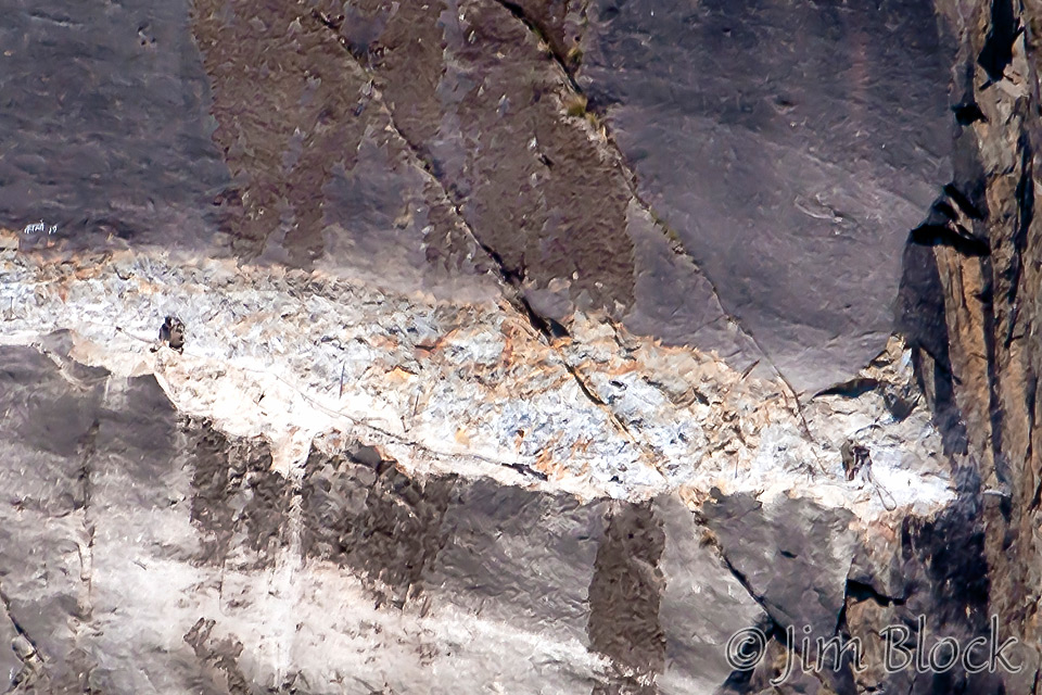
Mid-morning we began to really see the incredibly difficult task of constructing a road on the side of a nearly vertical face across the Marsyangdi River from us. It was hard to figure out how the men and donkeys got to the spots where they were chipping at the rocks. If you look carefully at the photo below you can see two men On the left and two at the right.
We stopped in Tal for lunch — tomato soup and French fries. Lunch was typically slow, over 90 minutes. Milt was happy to be able to sleep through it. The hike to Tal was challenging — lots of ups and downs not shown on the “connect the dots” profile map. This day we must have done 4000 ft downhill and 6000 ft uphill.
Tal is the first town in the Manang district. Tal means lake. A few hundred years ago a landslide dammed the Marsyangdi creating a large lake. Folklore has it that the landslide was the result of a bitter fight between two deities for opposite cliffs above the river. The east god lost, and his western wall collapsed. Eventually gravel and silt from the mountain filled the lake which is presently nothing more than a meandering river through a broad plain. Most of the settlers in Tal are Gurungs, though many are Tibetans and almost all are Buddhists.
Below is what this area looks like when we walked through. We watched that yellow monster in the center of the photo wash itself off by lifting and dumping water from the river. You can see Tal in the distance in this photo.
")
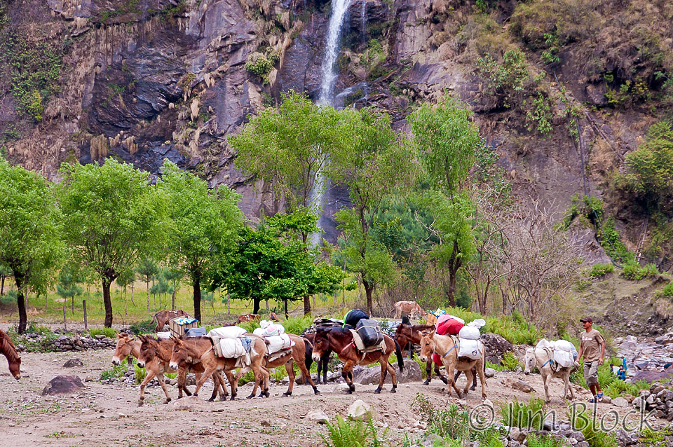
After lunch in Tal we came upon a beautiful waterfall with horses nicely serving as foreground objects.
Beyond the falls, we skirted the side of the cliff opposite where the road was being built. In this photo you can see our group and the road across the Marsyangdi. Glad none of use were scared of heights. You can tell I am a ways back, so I had to run to catch up. 🙂

We rounded the corner in the above photo and dropped down to the river (by walking). There we were detained for around 30 minutes by a soldier with a rifle. You can see him on the left side of the photo below. He was keeping us out of the way of the rocks blasted from across the river onto our trail by 20 or so charges of dynamite. I wonder if he would have shot us for our own safety if we proceeded ahead before it was time.
You can click the image below to get to a site where you can zoom way in then pan around this scene. When you get there, click the double arrow above the image on the right to see it full frame. Please wait for the resolution to download. You can use the + and – keys to zoom and the arrow keys to scroll. Or use the scroll wheel to zoom and the left mouse to drag.
Our group is on the right side of this panorama. At the far left is the soldier with the rifle.
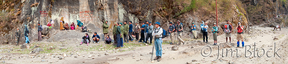
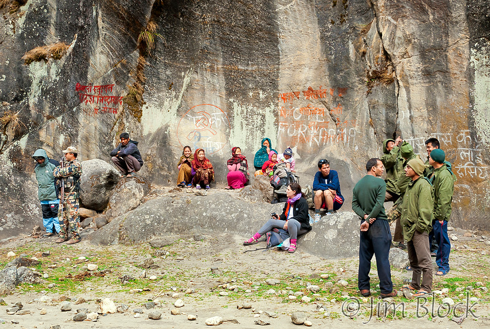
It was quite a scene — locals and trekkers, and a donkey that went wild when his packs slipped below him. He raced around the area threatening all.
Kids played fighting games as the blasting took place. The road they are attempting to build is amazing and depressing. If you look closely at the photo to the right below you can see men working on the road near the top of the image.

")
")
Before Dhararpani we saw a huge split geode in the river below us seen at the left.
Mules worked hard.
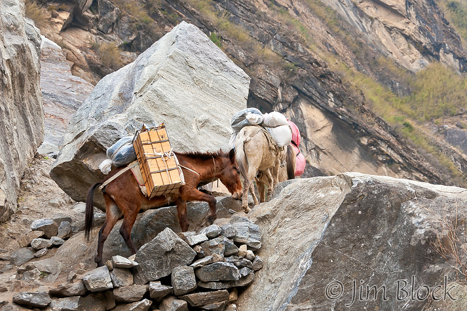
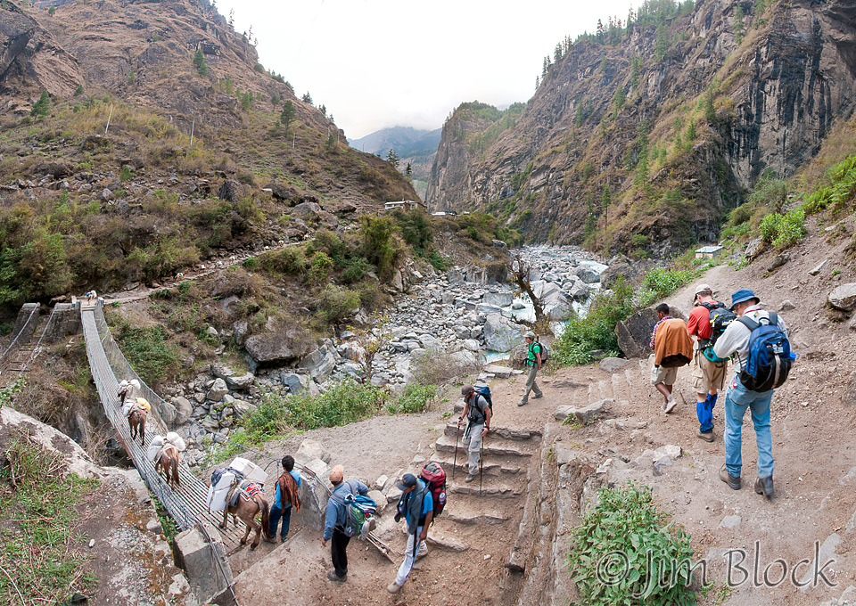
And there were bridges to cross.
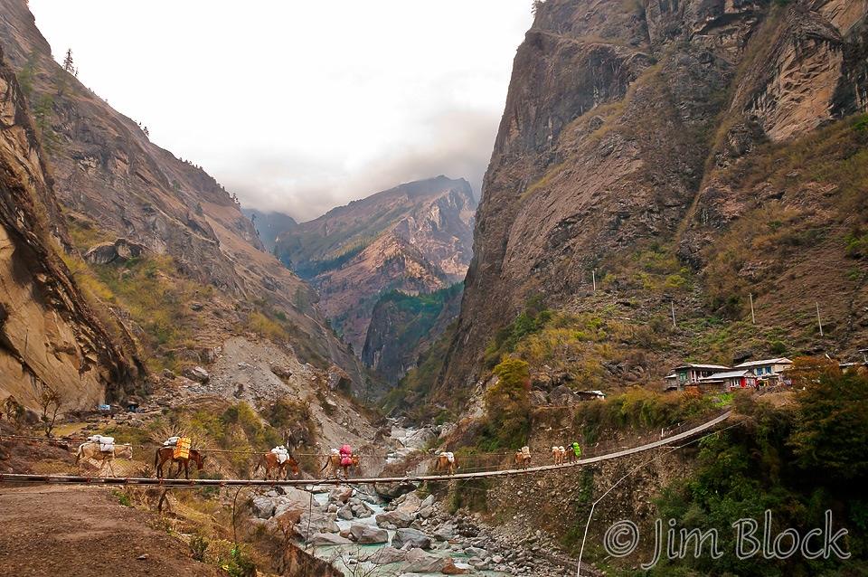
Here is another bridge just a bit short of Dharapani. To the left of this bridge you can see a part of the remains of the old bridge. There is a photo of the old bridge in the slide show that follows.
You can click this image to get to a site where you can zoom way in then pan around. When you get there, click the double arrow above the image on the right to see it full frame. Please wait for the resolution to download. You can use the + and – keys to zoom and the arrow keys to scroll. Or use the scroll wheel to zoom and the left mouse to drag.
Dhararpani is a narrow, closed-in town with cliffs rising on both sides. They must not get much sun year around. I had the end room, though not the better end, on the second floor of The Hotel The Seventh, named after the 7 highest peaks on each continent. My room had three beds and a shower that I decided it was best to take a pass on. Very cold water, what there was of it.
We had a long wait for dinner (typical Nepali “slow food”) which we had quite late. But it was good. I had garlic soup and pizza. We had arrived in town at 5:15 PM; I eventually hit the sack at 8:15 PM.
Please don’t miss the slide show below.


")


")


")


")


")


![]()