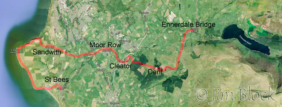
St Bees to Ennerdale Bridge
Stephen, Jim, and I (dubbed the “three white hats” in the Dolomites) hiked the Coast-to-Coast Walk heading east, starting from St Bees on the Irish Sea, in late August and early September. But first we had to get there.
Jim left the US a day before Stephen and me. We flew from Boston to Dublin and then on to Manchester, UK. In Manchester, Stephen and I caught a train to Carlisle where we would transfer to a second train. We had reserved seats for the first train, but when we got to the platform we found that our coach was missing. Actually, four of the eight coaches were out of service. We were told to sit anywhere and that we did. The train was fairly empty between the airport and the first station.
But that changed quickly at the first stop when way too many people boarded. They crowded all of the available coaches, sitting on each other’s laps, standing, and sitting on the floor. Stephen and I were too tired to move. We merely squeezed over and enjoyed the young children who shared our table. Here are a few photos I took using my iPhone and DSLR.


While waiting for our train from Carlisle to St Bees we noticed quite a few photographers on neighboring platforms. It seems that these folks chase special train cars the way birders search for rare birds. Some unusual train car was due in, and they were trying to add it to their “life list”.
Here are some photos I took at the Carlisle train station. The last two show our train arriving and our nearly empty train coach as it pulled out of the station. Unlike the earlier train, this train had plenty of coaches and very few passengers.


I took a few photos from the train. I enjoyed this sign on a station platform.

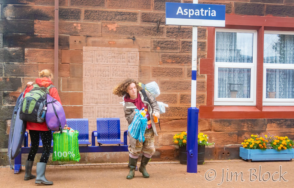
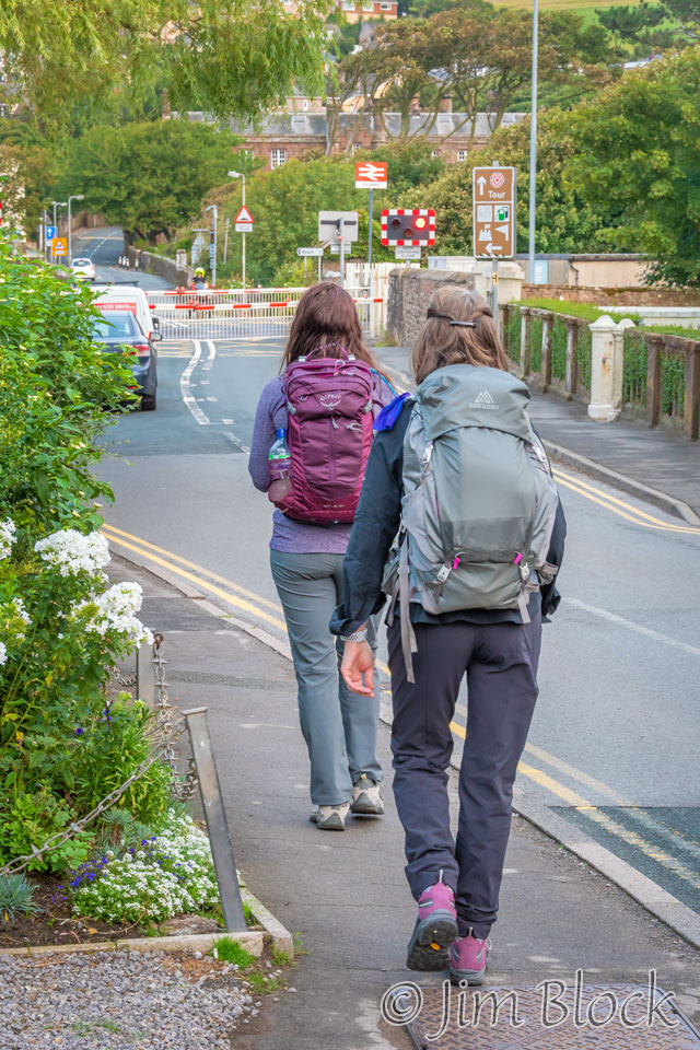
At one station two women who wanted to board our train belatedly realized that they were on the wrong platform. They ran down to a bridge that crossed up and over to the correct platform, but I’m not sure they made the train. These trains stopped only a very short time at each station.
The photo below shows the St Bees Lighthouse in the far distance on North Head that we would walk the next day. It is the little bump at the top center of the photo, not the one that is more obvious on the left edge.
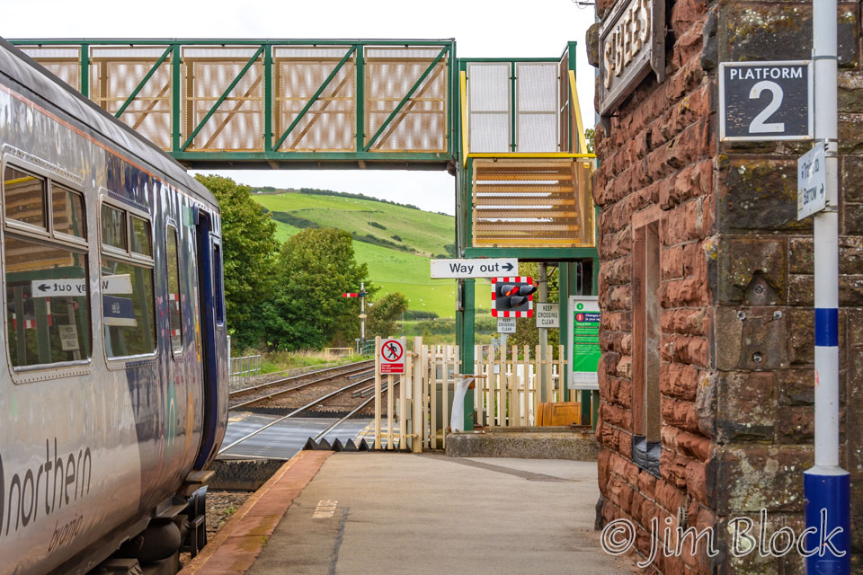
Our train finally arrived at St Bees.
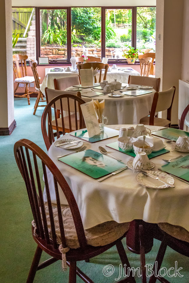
We stayed at the very pleasant Stone House Farm, which was only a short walk from the train station.
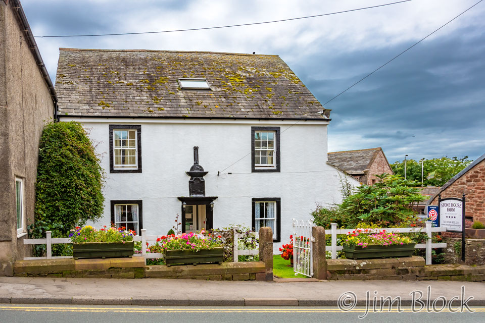
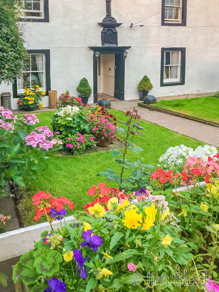
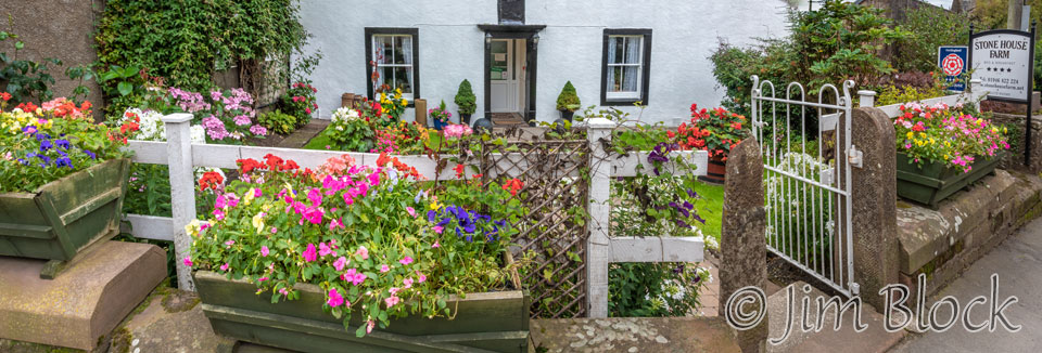
We had four hours before dinner. Naturally I used that time to wander around St Bees and take some photos. There was a charming miniature garden near the hotel and a post office/general store that had virtually nothing in the way of groceries. Mostly it just carried beer and wine. Apparently anyone who lives in St Bees and many of the other small villages must do their grocery shopping in a different town.


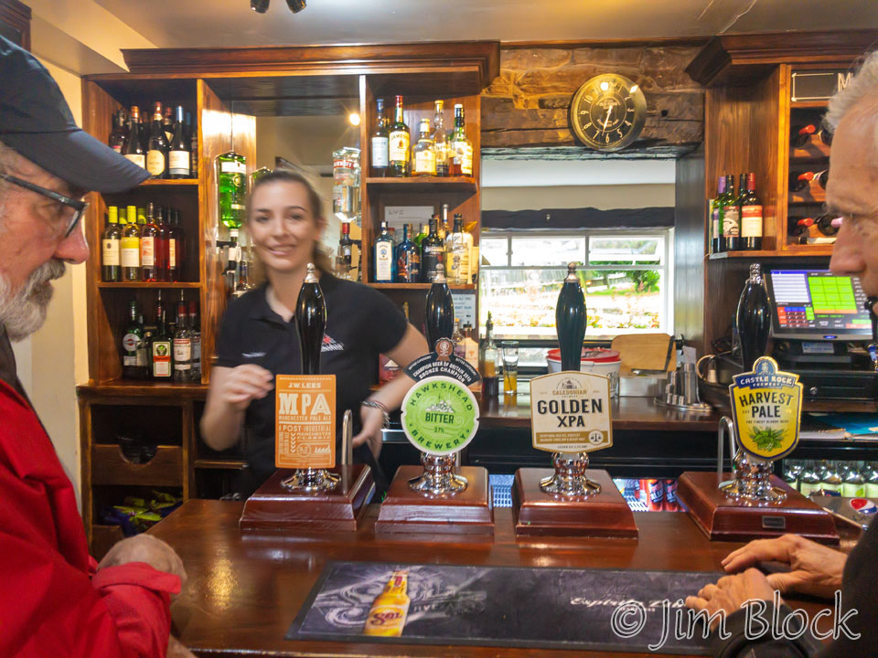
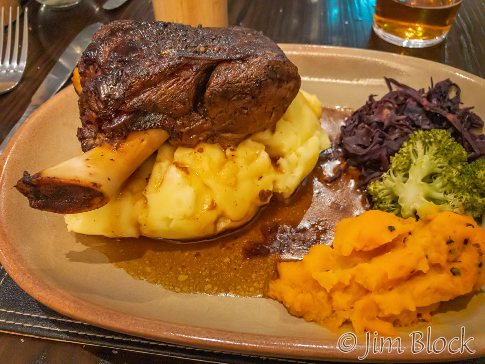
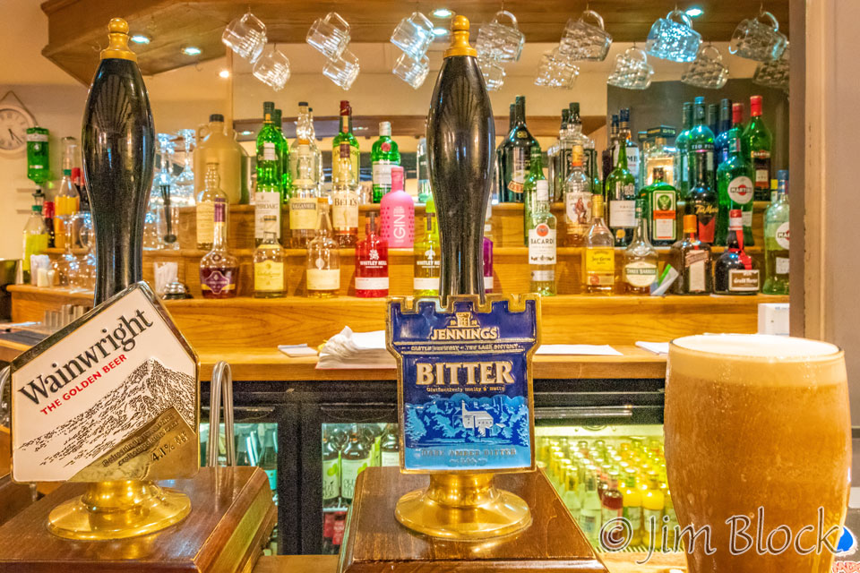
Jim had picked out a nearby restaurant for us. He was our food consultant for the trip. It was an excellent choice. We ordered some beer on tap. The beer in England seems to be lower in alcohol content than other places. I had a great lamb meal. I took the two photos below with my iPhone.
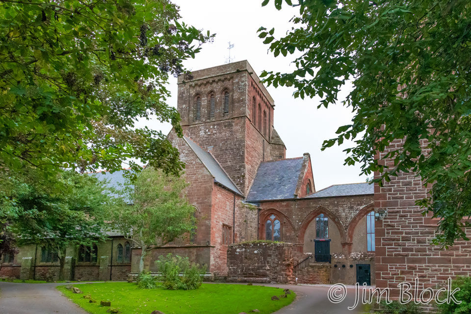
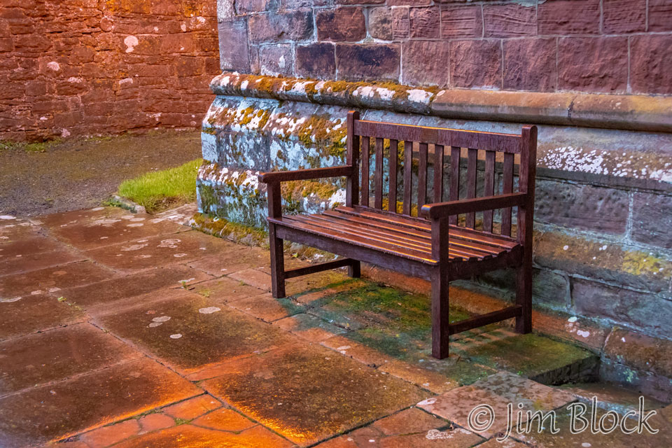
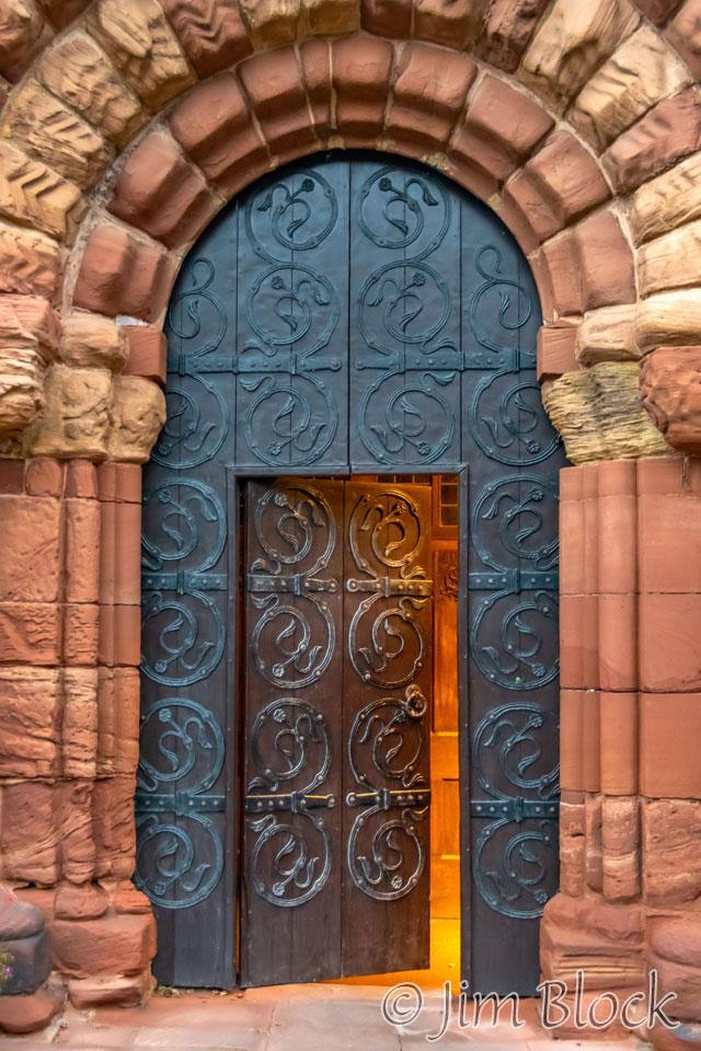
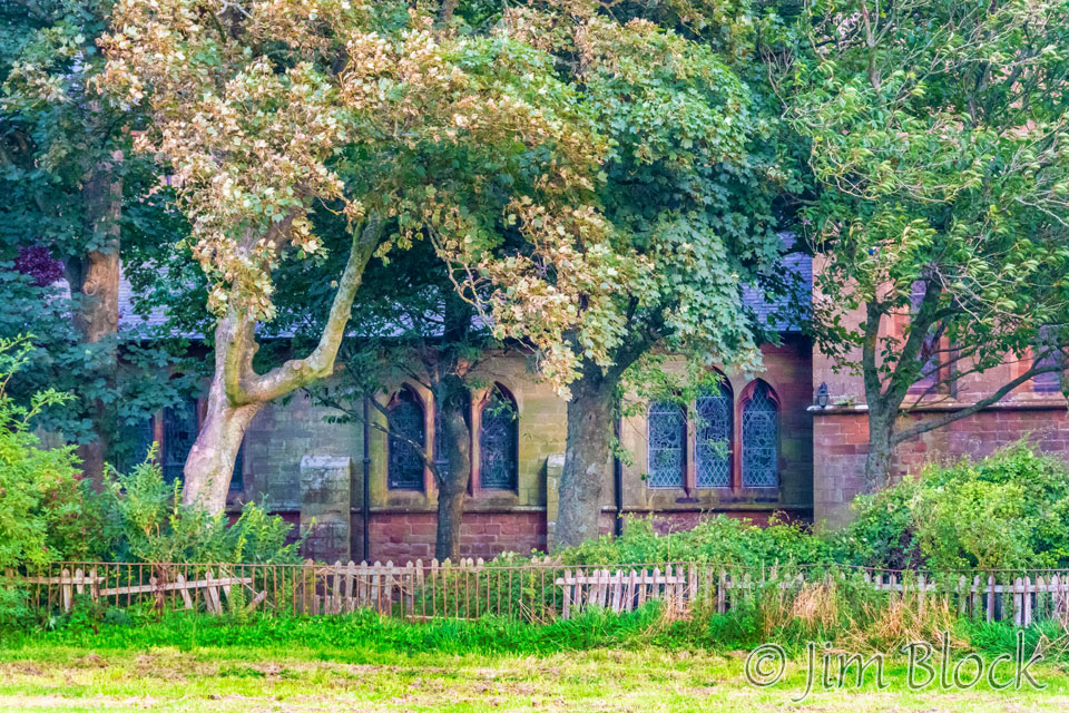
After dinner as it was getting dark, Jim took us to The St Bees Priory, about 1/5 mile away.
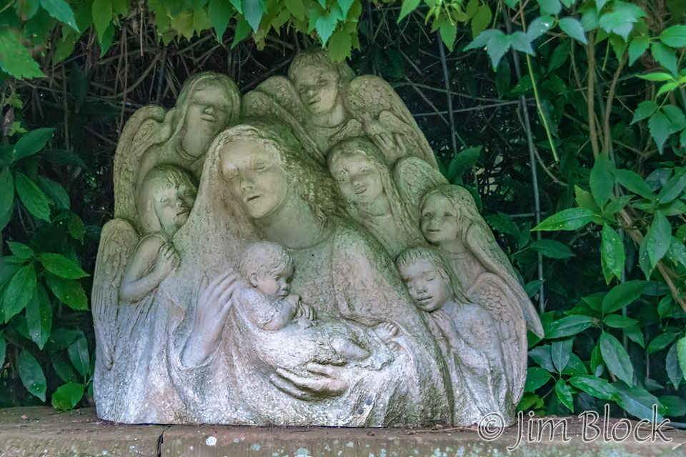
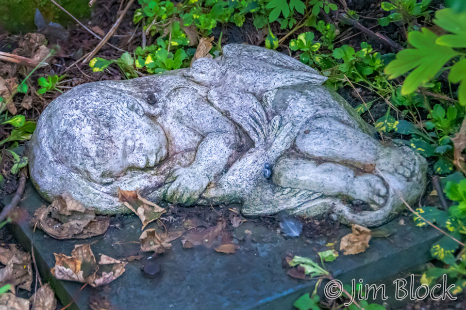
The grounds had some interesting stone statues.
We paused briefly in the courtyard, and I made a few photos.
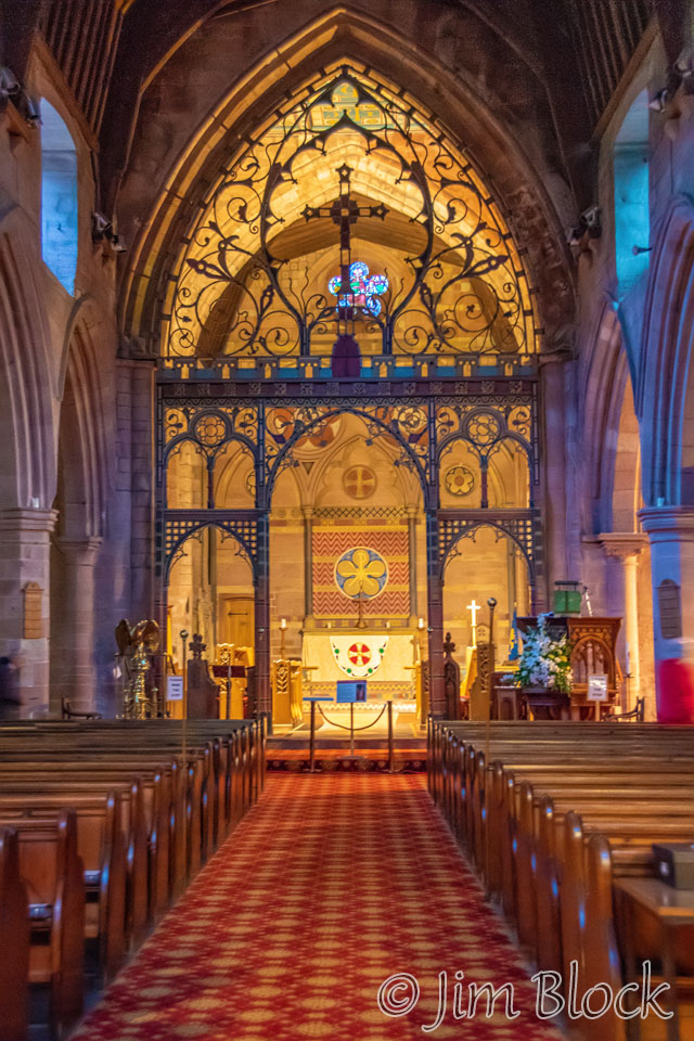
The church was quite beautiful inside. There was a man playing the organ to an empty church. Empty, that is, except for us. We stayed quite a while and enjoyed his music. Stephen recorded several of the musical selections on his phone.
As we walked back to our hotel I took some photos. It was about 8:30 in the evening.


")
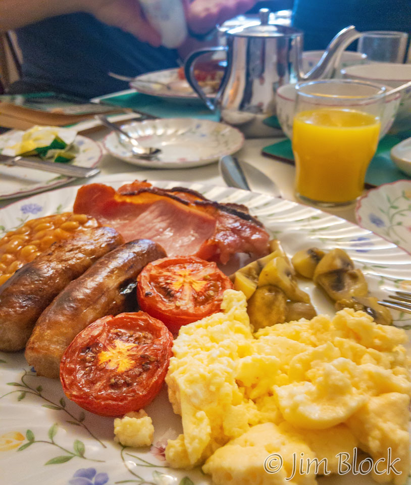
The next morning was the first day of our hike. After granola and yogurt, we had what is known as a Full English Breakfast. It is quite substantial and most days it allowed me to skip lunch or, at most, munch a little cheese I bought along the way.
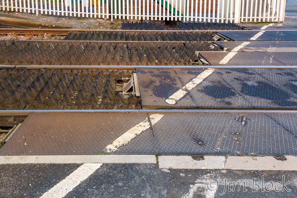
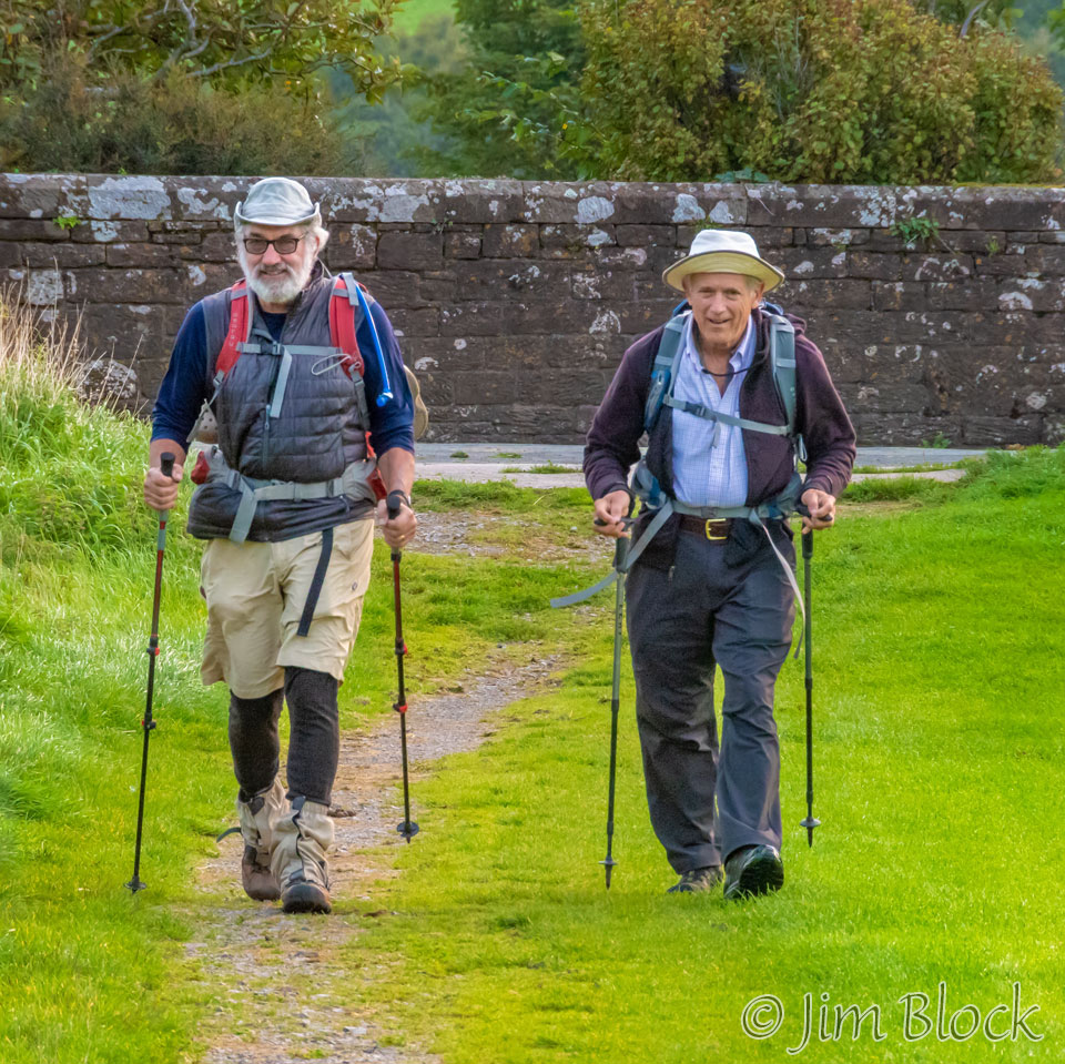
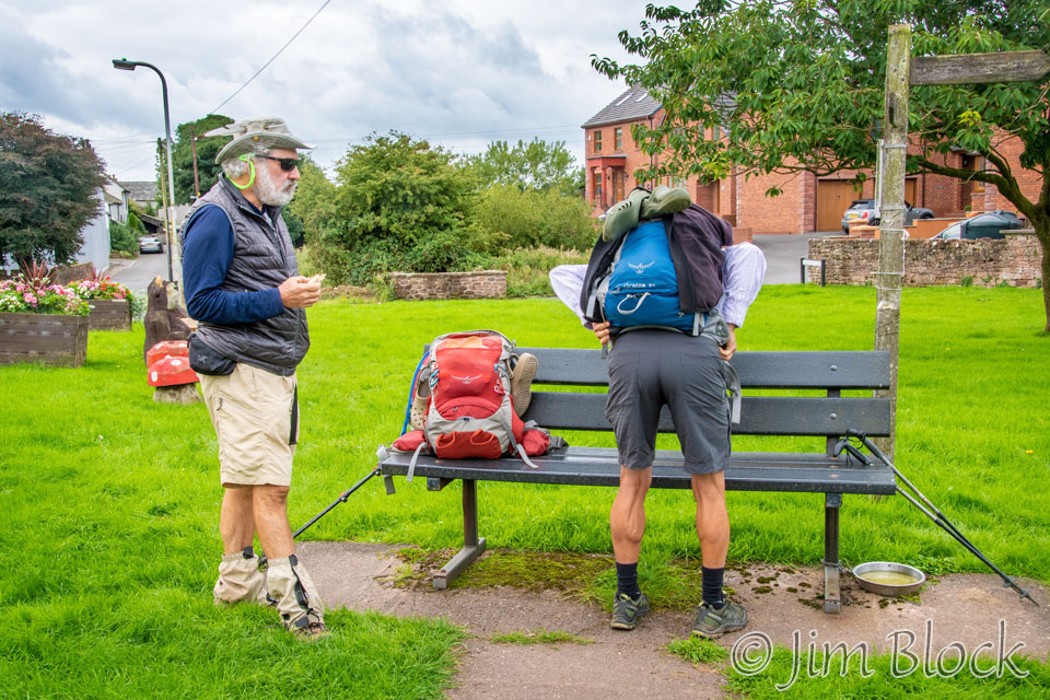
Kim and Paige left before us. We have not yet met them at this stage, but I walked with them for the last hour of this first day. About 10 minutes later we were finally off. We crossed the railroad tracks and headed to a path that would take us to the official Coast-to-Coast starting point.
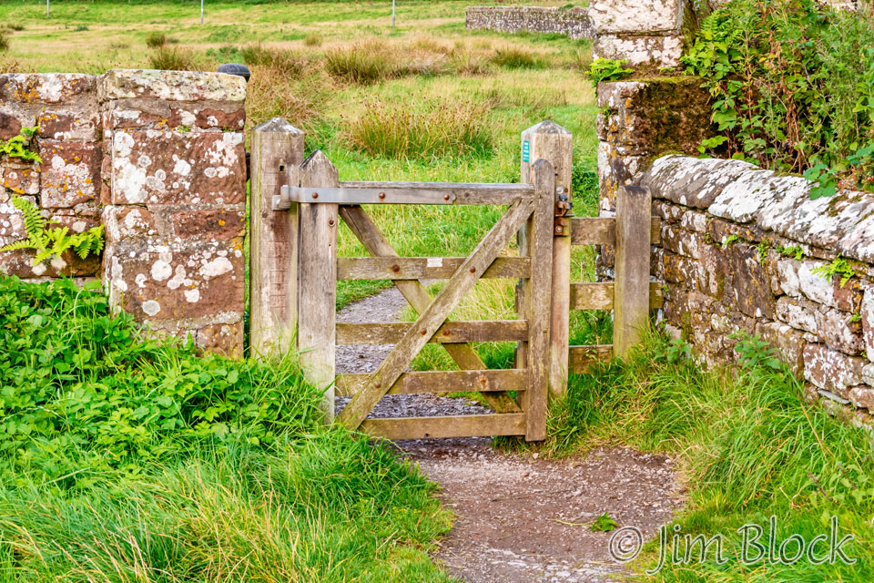
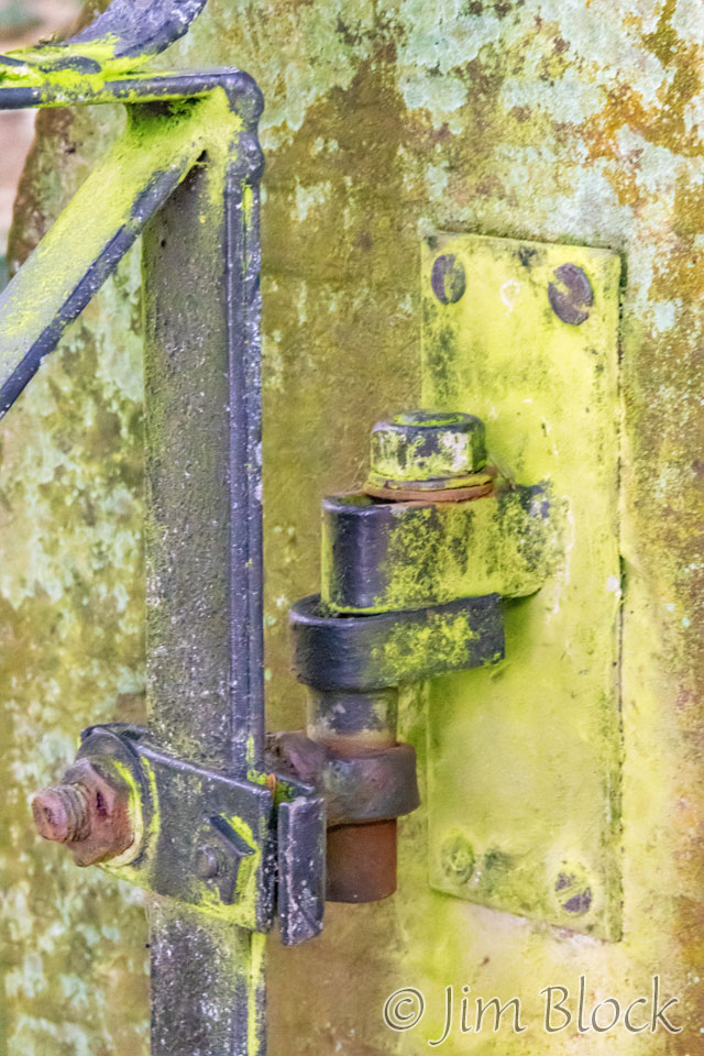
We passed St Bees Priory and reached the first of hundreds of gates and stiles. The gates were easier. We just had to figure out the many different latch mechanisms and walk through, being sure to close it behind us. The stiles, we had to climb over. Click the word stile to see some styles of stiles.
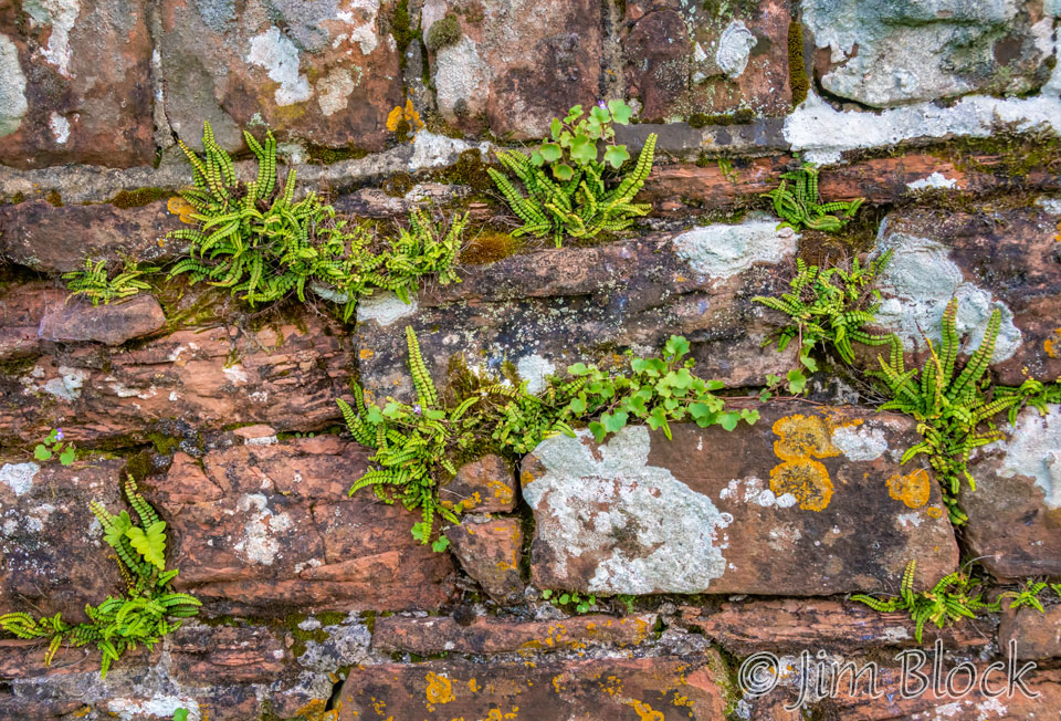
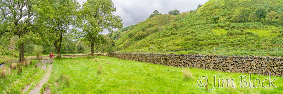
We walked along a very interesting wall.
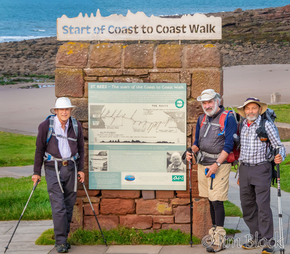
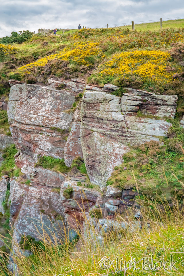
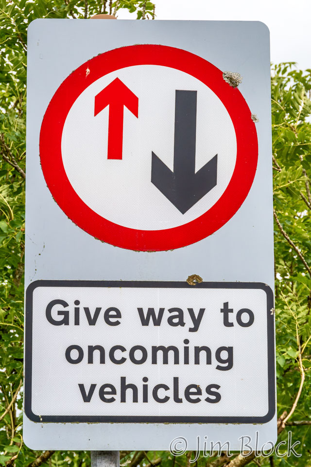
We passed the official start signpost, seen at the top of this page, and headed up the cliff of the St Bees Head Coast toward the St Bees Lighthouse at North Head.
We would occasionally meet other hikers, but a lot of the time we were hiking alone and not even with each other.
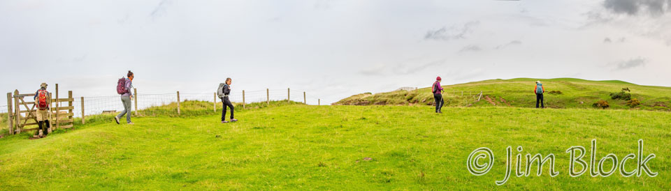
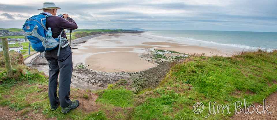
Here are some of the photos I took as we headed to the St Bees Lighthouse.
")


")
")
")

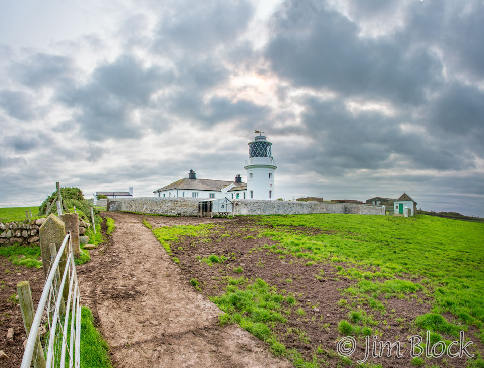
I left the trail and headed a short distance uphill to make this 6-image panorama of the St Bees Lighthouse.
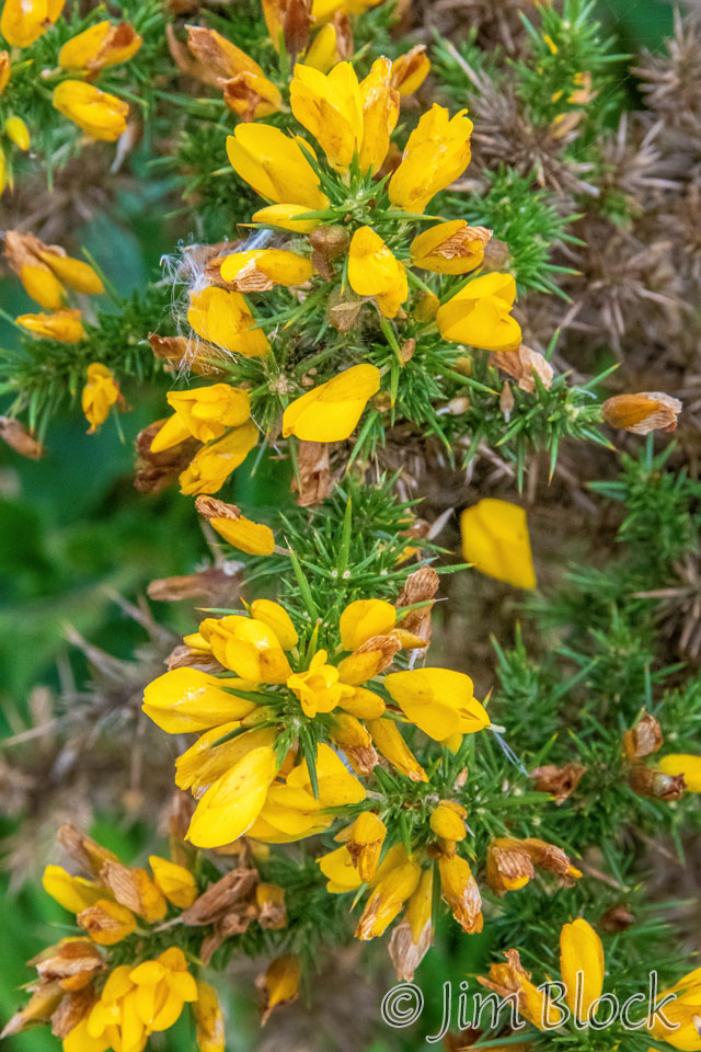
We passed great mounds of gorse.
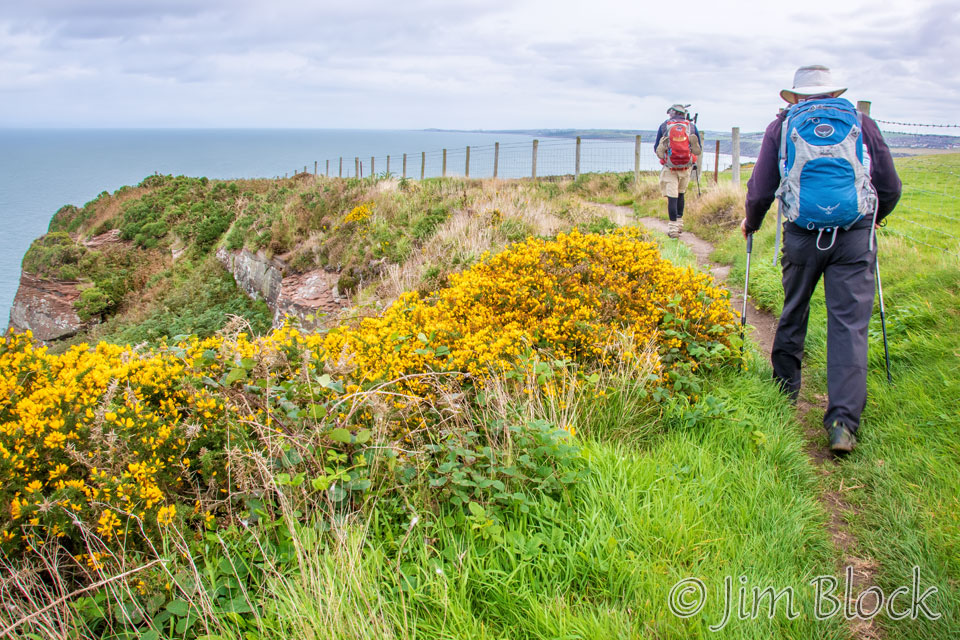
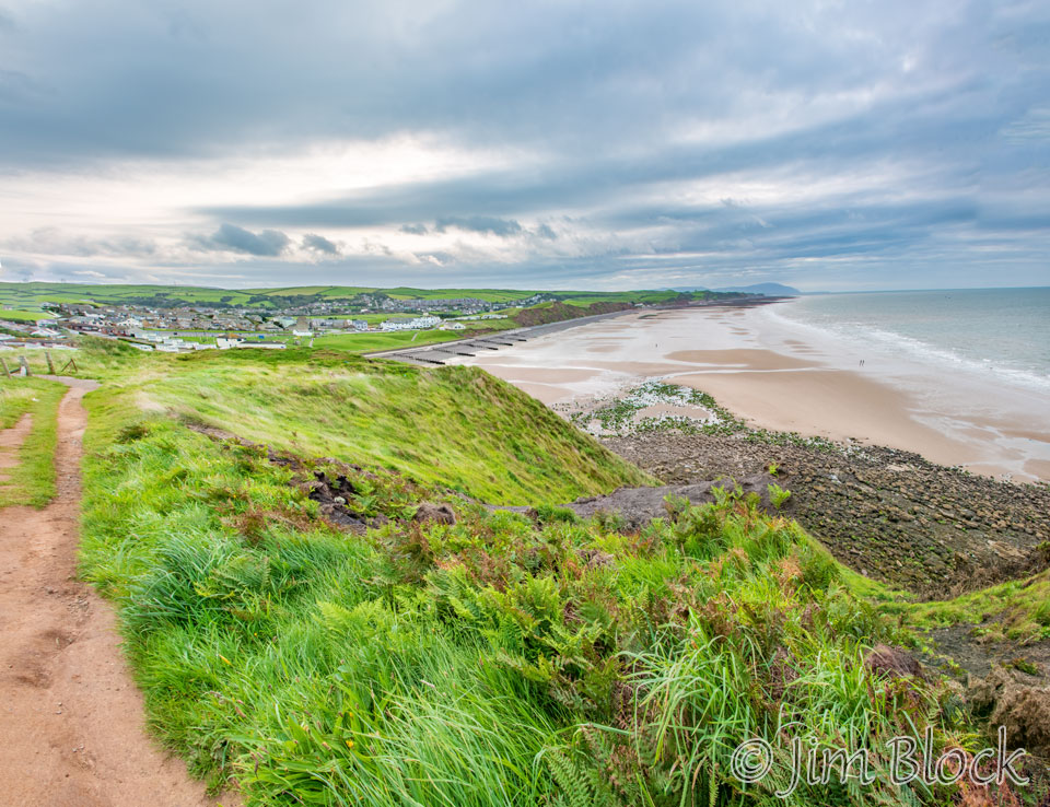
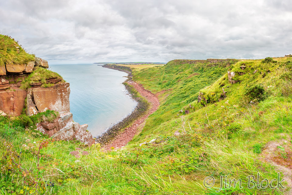
The path along the cliff is spectacular.
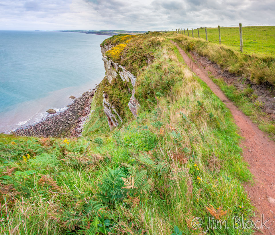
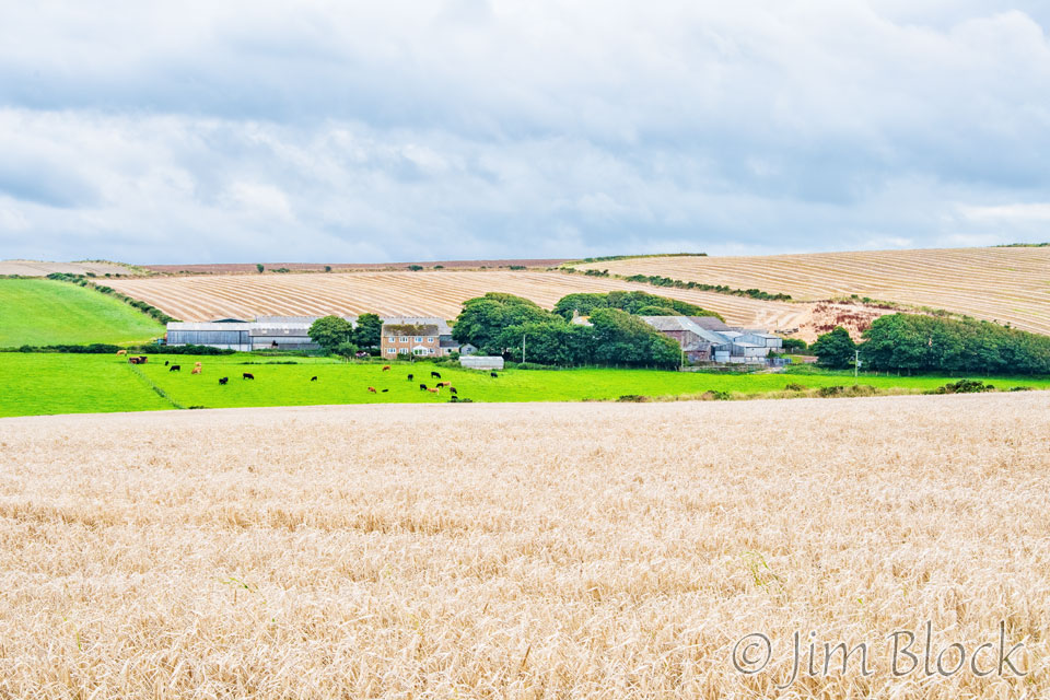
To our right were large fields and farms.
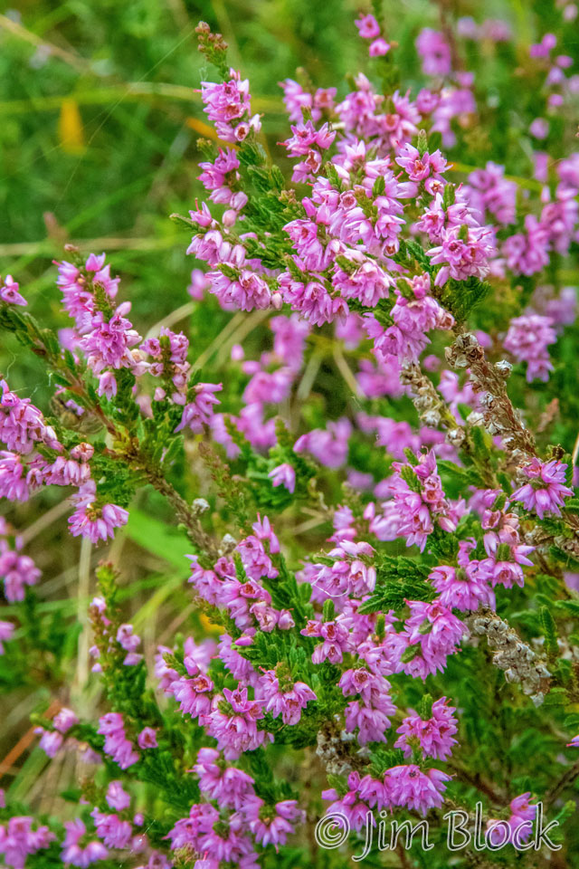
Below is a close-up of gorse on the left and our first look at heather on the right.
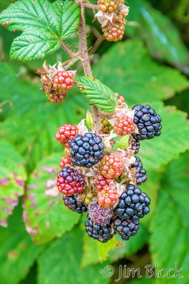
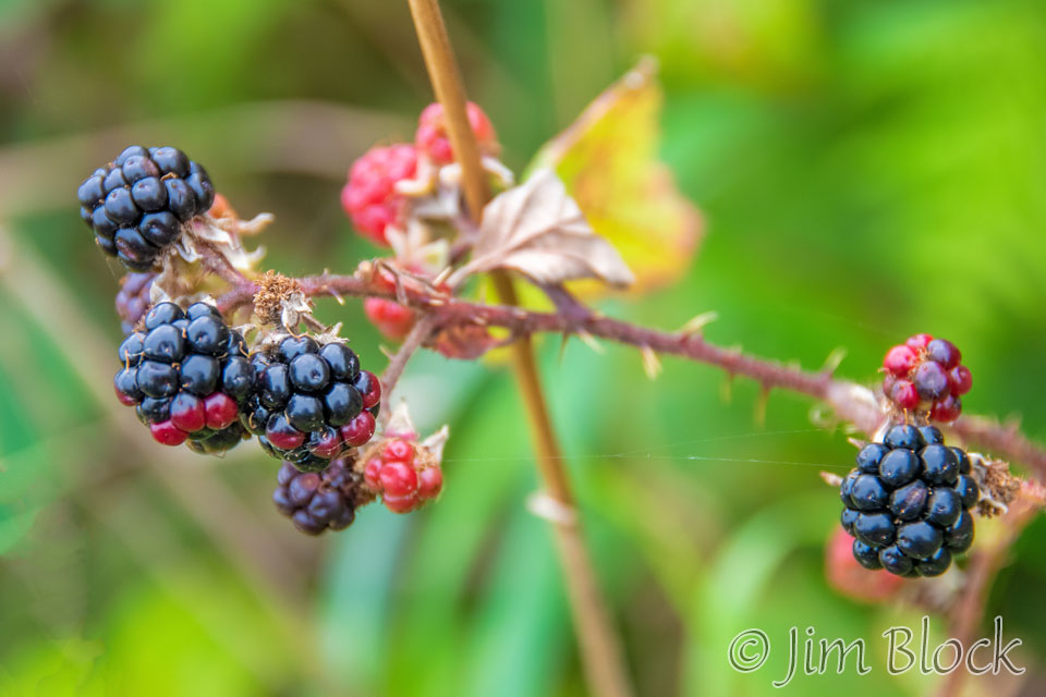
Along the path were delicious blackberries. We consumed quite a few of them as we walked.
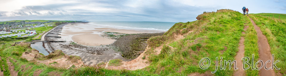
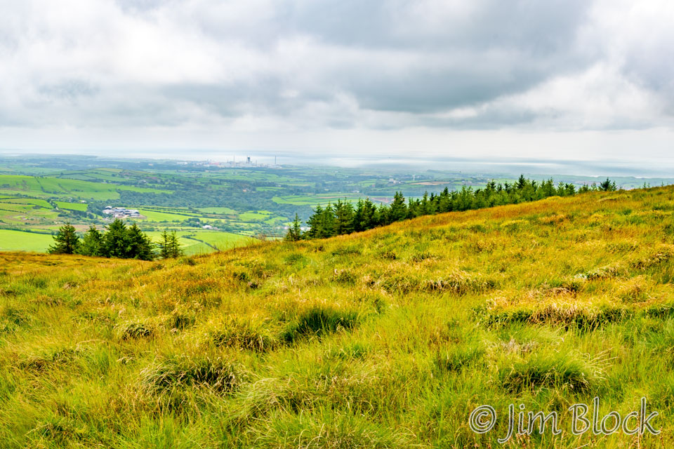
Just before we turned inland, we got a view of the large town of Whitehaven in the far distance up the coast. This is a 14-image panorama.
The Coast-to-Coast Walk is characterized by very few sign posts. The trail is quite hard to follow in many places. Much of the time we relied on a great phone app, Wikiloc, with previously downloaded tracks others had recorded. This was a super way to navigate. My phone would beep at me if I got as much as about 30 yards off the pre-recorded trail.
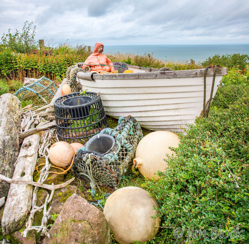
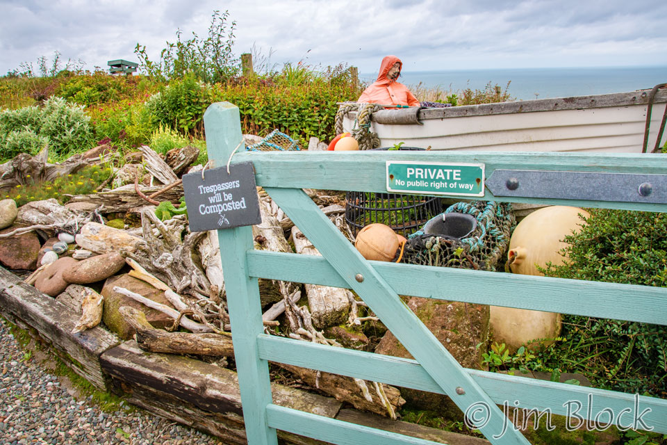
Shortly after turning inland, we passed a driveway that appeared to be off-limits to hikers.
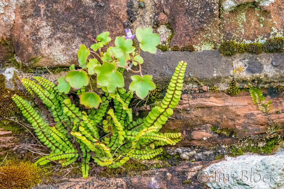
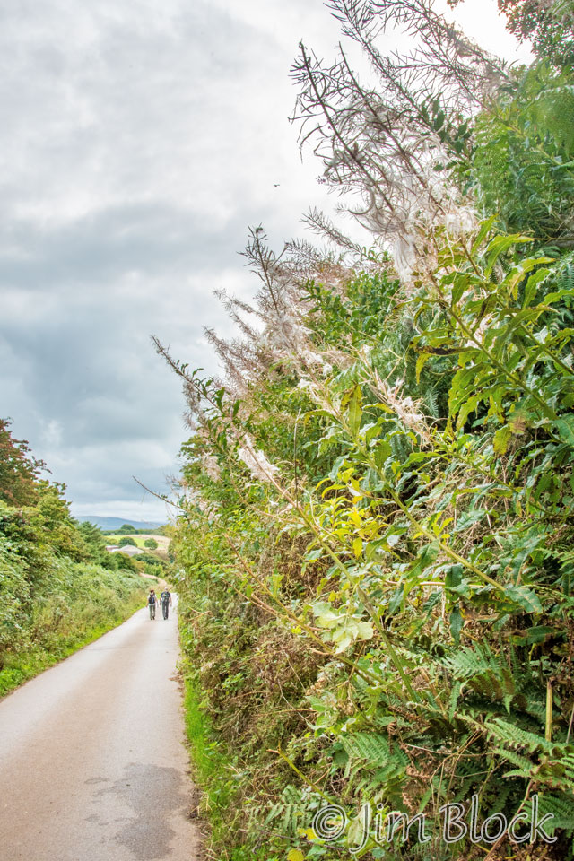
Some of the plants we saw along the trail were interesting. Some of the walk was along narrow paths, while other parts of the walk were along roads.

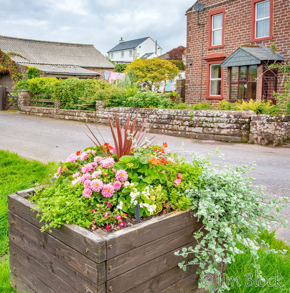
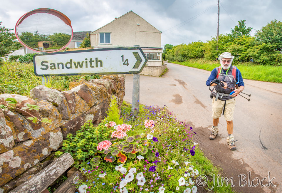
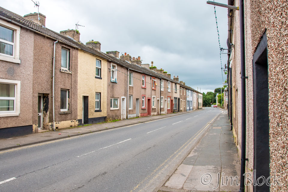
We reached the charming small town of Sandwith.
Since we were getting warm and nobody was around, we changed into shorts in the center of the village.
We stopped at an intersection outside of Sandwith to get our bearings. There were no directions here but our phones provided an excellent solution to the which-path-to-take dilemma.
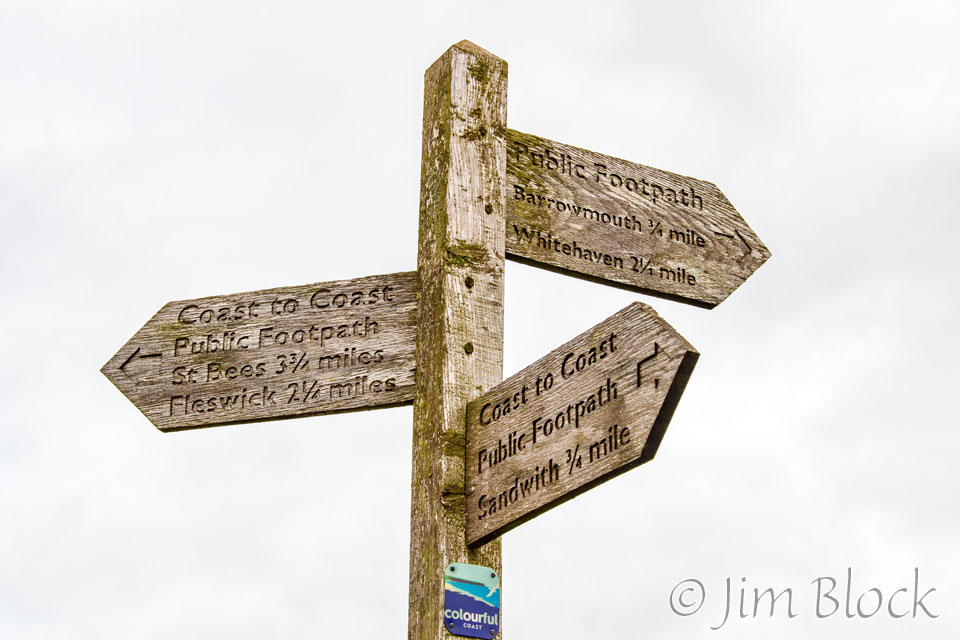
Farther along, we spotted a signpost directing us to go through the gate to the left. The signpost is in the middle of the photo below.
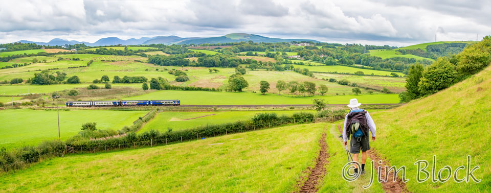
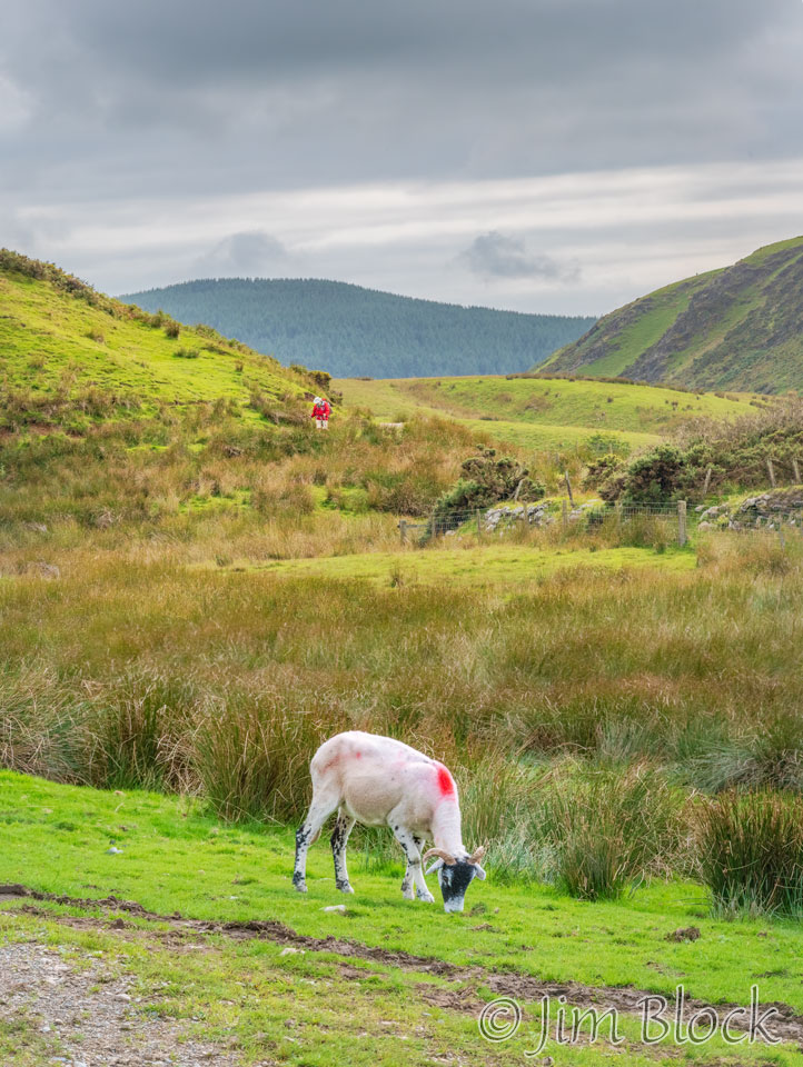
We were heading toward our first real climb of the hike, a small fell named Dent, seen in the top middle of the photo below. Later we would have much more serious climbs, but this would be a good warm up. You can see we were soon going to be crossing the train tracks between Saint Bees and Carlisle.
I walked much of the next section with Stephen.


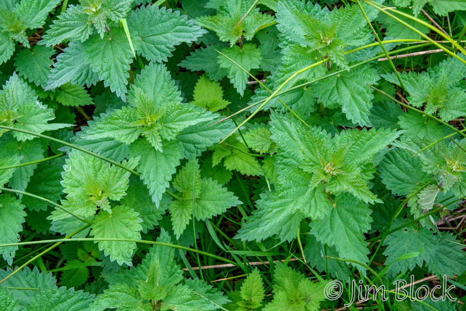
Stinging nettles can be found throughout England. These are not something you want to get into, like I did once in the Dolomites. LINK Here are two photos of them.

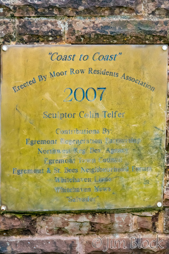
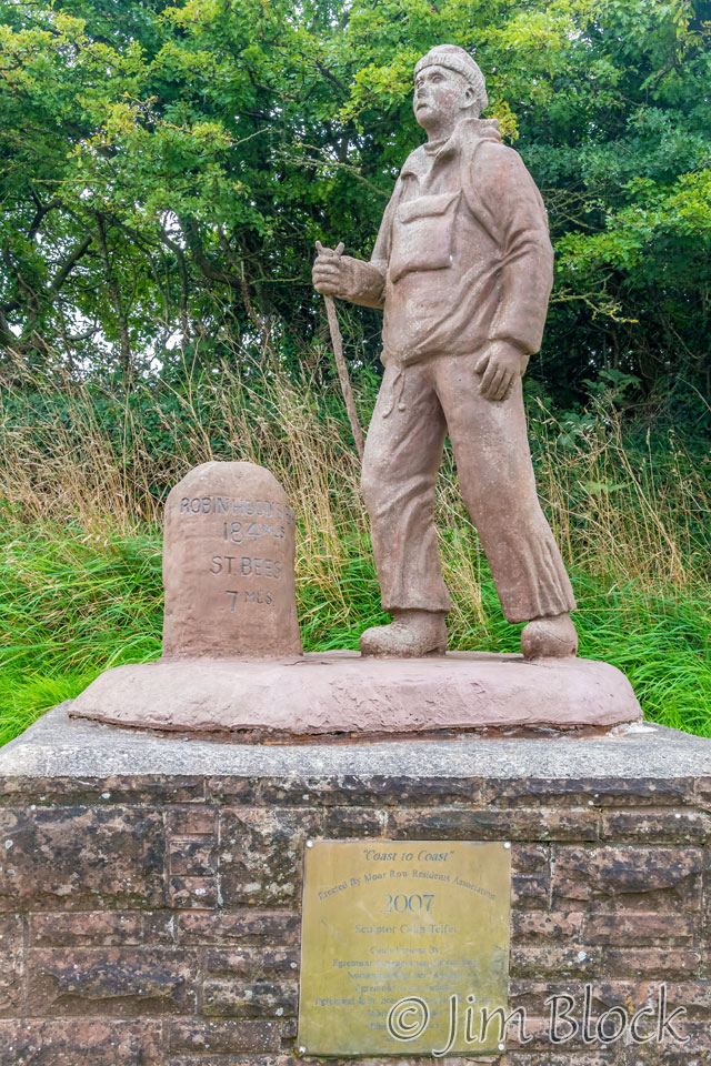
Outside the village of Moor Row, we found a statue and plaque.
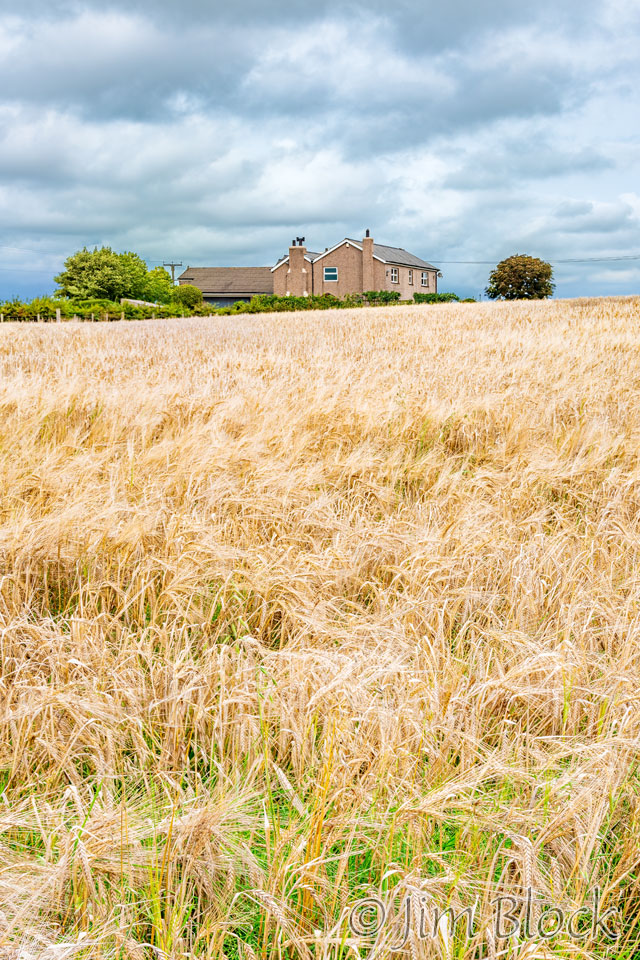
This looks like a field of wheat to me, but what do I know.
When we reached the somewhat drab town of Cleator, Jim and I were slightly ahead of Stephen. We went into a small shop where I bought a sandwich and some cheese. The prepackaged sandwich was mostly air, but, like many shops in these villages, there were very few choices. I came out of the shop and walked back down the road to the corner looking for Stephen but couldn’t find him. It turned out that he had passed us while we were in the shop.
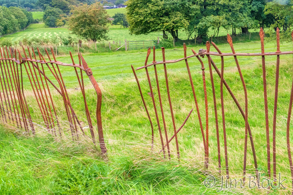
This fence has seen better days.
It started to drizzle lightly. Some folks stopped to put on some raingear, but I chose not to. That was a good move because the drizzle didn’t last all that long.
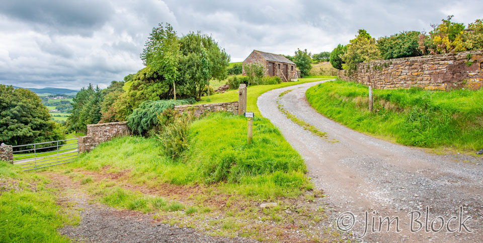
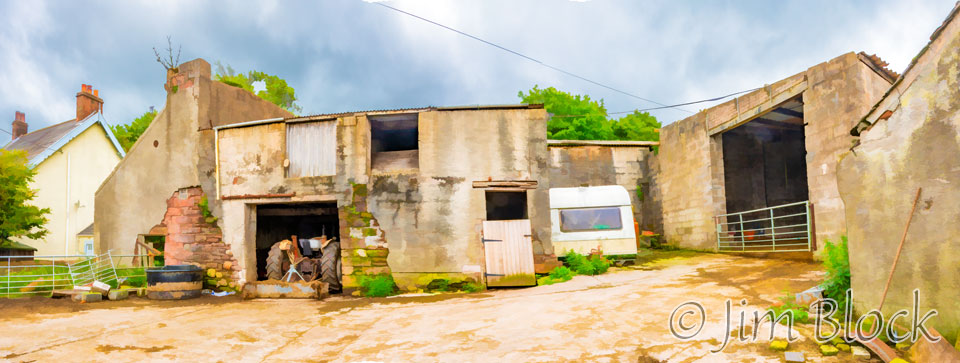
Just outside Cleator was a spot where the path wasn’t obvious. I was hiking alone at this point. Walking in front of a farmhouse didn’t seem to be right because the path didn’t continue on. I looped behind the farmhouse and old farm buildings and shot this 3-photo panorama which I edited to minimize the details and simplify the image.
Not far from that spot was a sign indicating the trail.

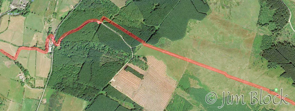
Below is a satellite view of this portion of the hike. The farmhouse is near the left side of the photo where the path zigzags. From there we traveled uphill through a forest before climbing an open meadow to the summit of Dent.
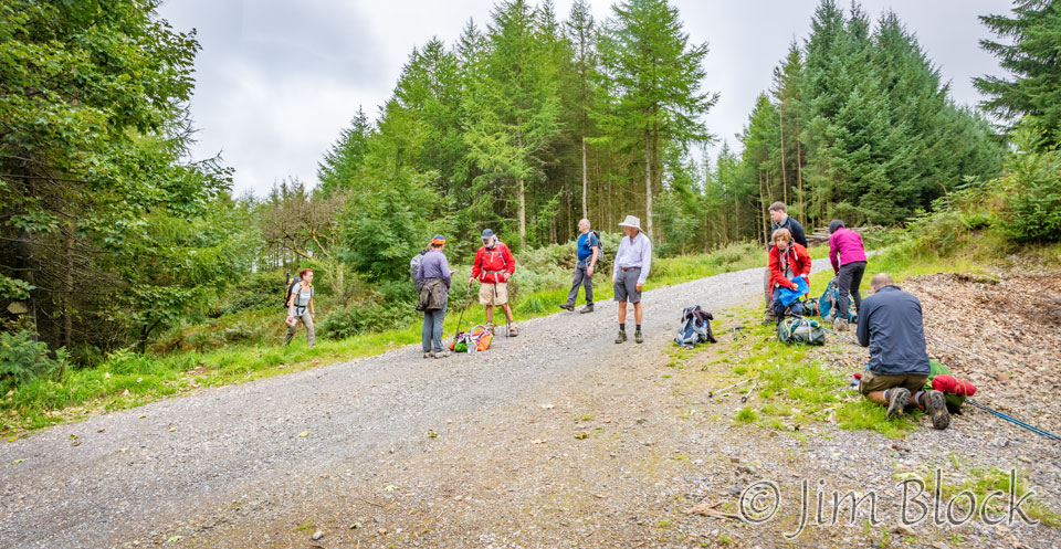
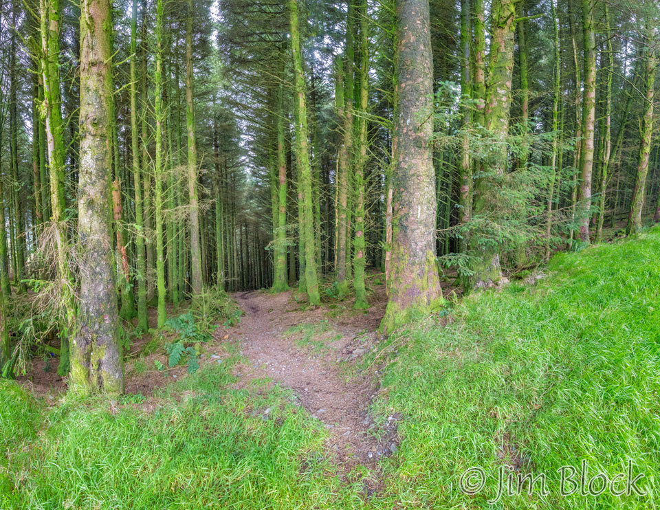
I soon caught up with Jim, Stephen, and other folks who had stopped to have a bit of lunch. Continuing up the road would get us to a path that would reach Dent’s summit, but the better trail cut into the woods at the far left of this photo. After a short distance the path turned right and climbed through a beautiful forest.
Jim and I walked through the forest together. Here are some other photos I took as we passed through it.


")

")
")
Climbing Dent, I turned around and looked behind me. You can perhaps see the farm house and buildings at the center of the photo on the left below. Beyond them is Cleator.
Jim and I reached the summit cairn of Dent together.
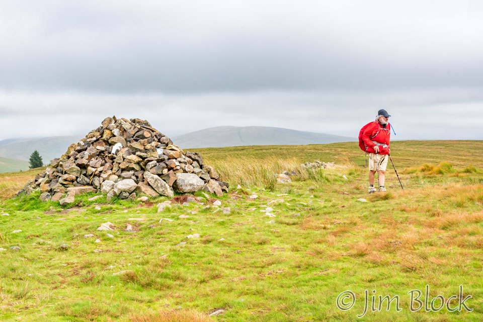
Dent is a small fell on the western edge of the Lake District. It is the first fell encountered by hikers following the Coast to Coast Walk. It is a mere 1155 ft high but it offers great views, especially in rare clear weather, not like what we had this day.
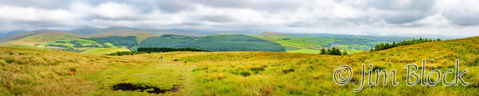
This was the view to the north descending from Dent. It is an 8-photo panorama. It is followed by cropped versions of it on the left, center, and right sides.You might be able to spot St Bees in the distance in the right crop.
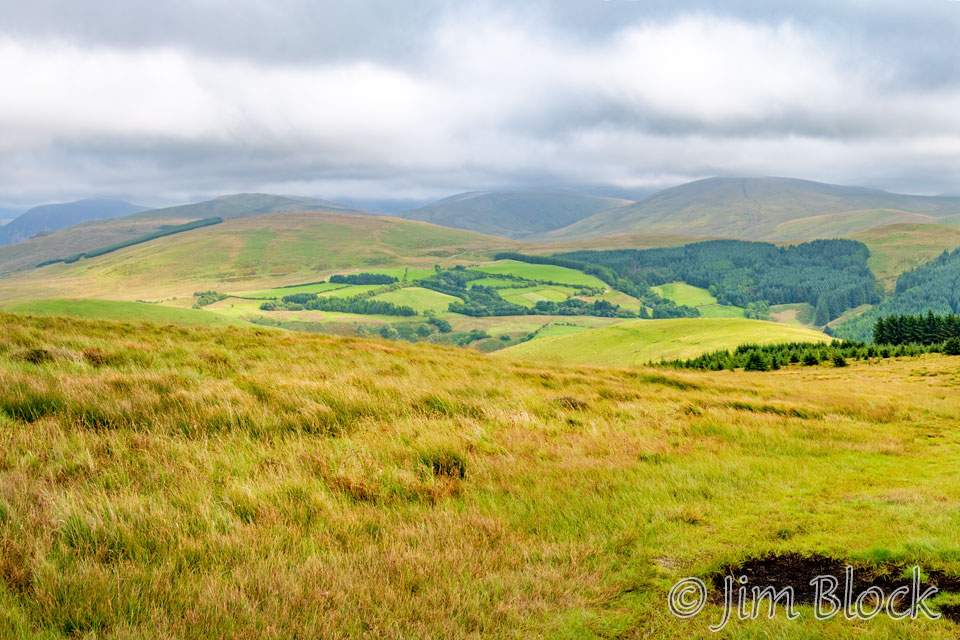
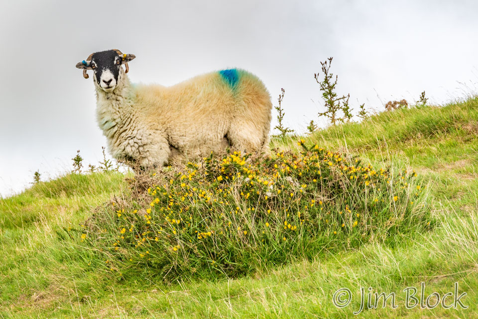
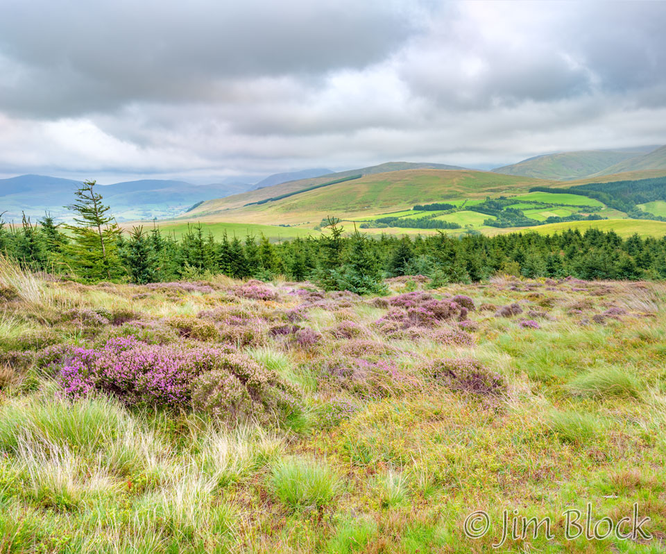
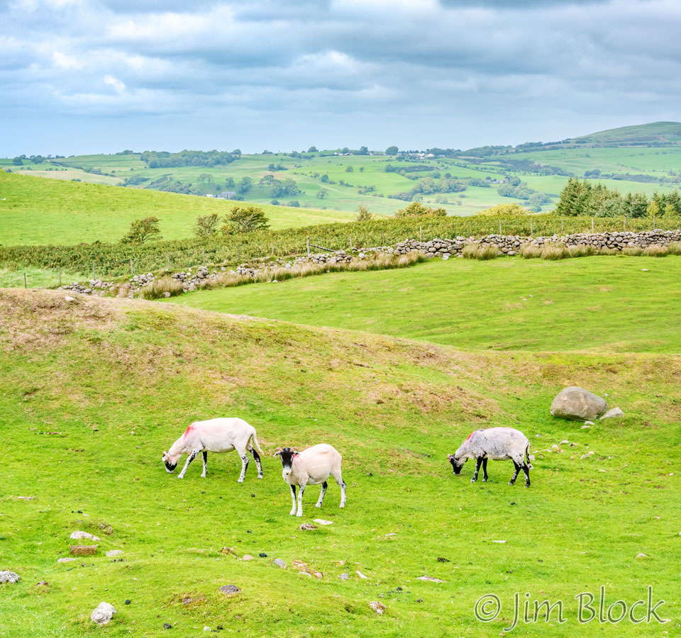
Heading down we passed some nice fields of heather and walked through a small forest.
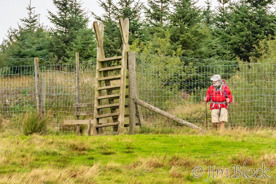
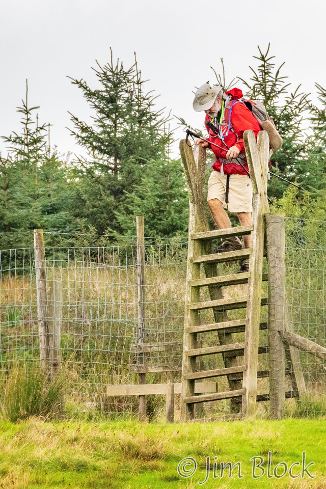
I almost caught up with Kim and Paige who had passed me at the top of Dent. I photograph them crossing a huge stile.
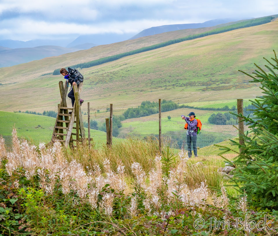
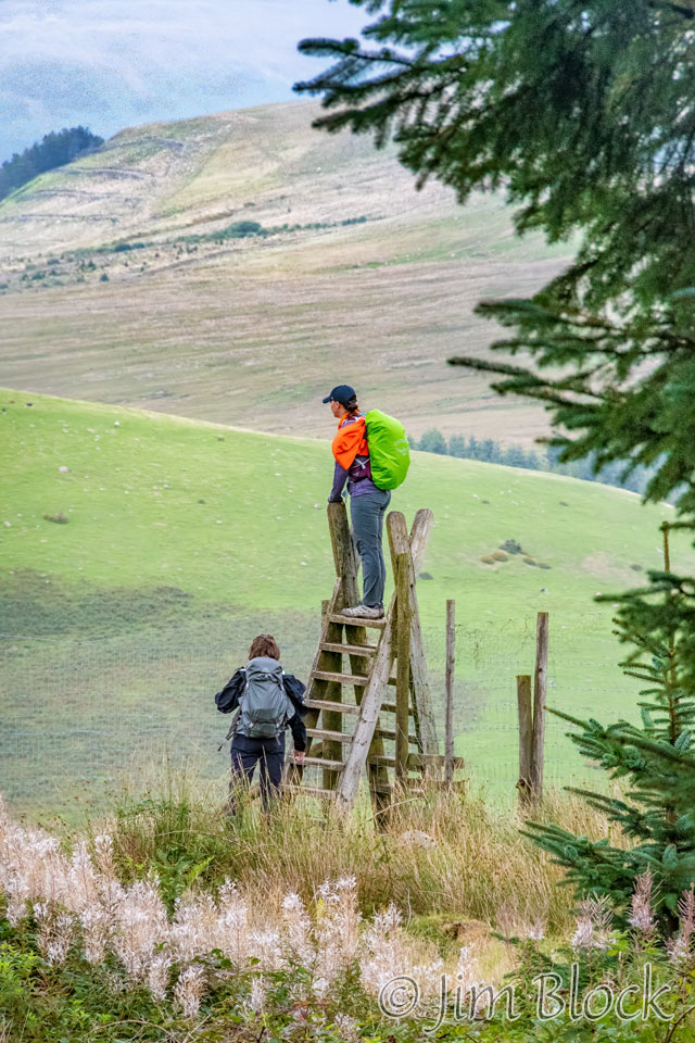
Shortly after I crossed the stile, Jim reached it.
Here he is approaching it and climbing over. We pondered why the fence was so large. We believe it was designed to keep deer either in or out.
Here are some photos I took as we descended Dent into the Nannycatch Beck Valley. A beck is a stream or small river.


")

")
The Nannycatch Valley was quite beautiful. As I walked through it, Jim caught up and passed me. You can see him ahead on the left in the image below.
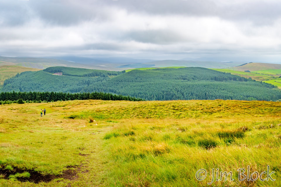
Here are some of the photos from the Nannycatch Beck Valley and the start of the climb toward Ennerdale Bridge.
")


")

")


Jim had stopped down in the valley for a midafternoon snack while I continued uphill alone. Looking back I saw Jim approaching, as can be seen in the photo on the left below.
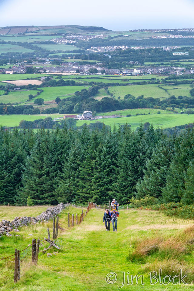
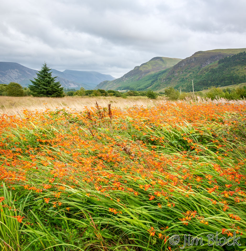
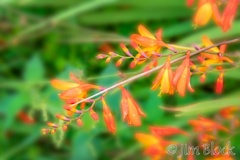
Catching up with Kim and Paige, I walked with them for the last hour to Ennerdale Bridge. Along the way I got some photos of wild Montbretia (Crocosmia x crososmiiflora), a plant in the iris family. (Thanks to iNaturalist for the ID. This is a great resource. Check it out.)
After checking into the very pleasant Fox & Hounds Hotel, I took a short hike into town. I enjoyed some of the signs, including this one which would give you a frowny face if you were going over the speed limit.


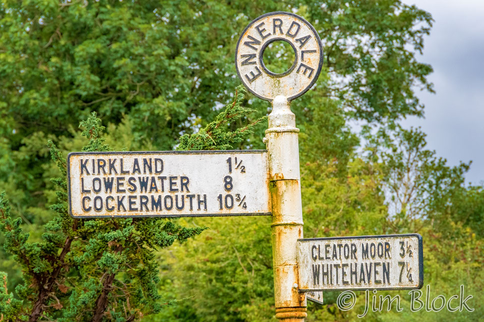
Here are two more photos of signs in the village.
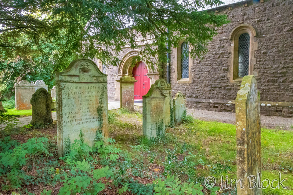
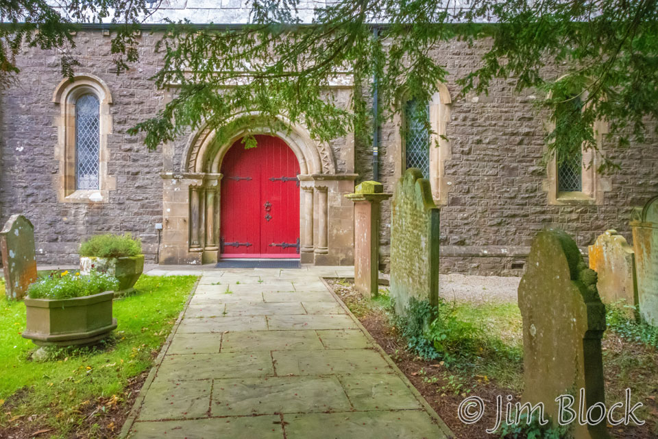
The door to St. Mary’s Church was locked, but I was able to wander around the courtyard and take some photos.
Outside the hotel was a cute ferret.


From my room I photographed a young woman in front of the hotel and then made some photos in my bathroom with my iPhone. It had a great drying rack and, as I found in many hotels, a dial-your-own-temperature shower control.


I had a pint of beer with my dinner of garlic prawns and scampi. I thought the dinner was delicious.
Below is an overview of the day’s hike. According to my recorded Wikiloc track, I hiked 15.5 miles at an average speed of 2.6 mph with 2,792 ft total elevation gain. This was certainly a great way to start a fabulous hike.
This was certainly a great way to start a fabulous hike.
On Day Two of our Coast to Coast Walk we would hike along the southern shore of Ennerdale Water that you can see on the right side of this image. We were now clearly in the Lakes District.
![]()