Ennerdale Bridge to Rosthwaite
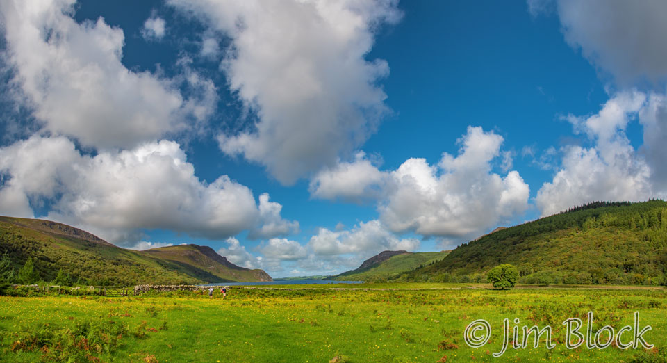
The second day of our Coast to Coast Walk would feature brilliant blue skies and white puffy clouds. We would hike along the shore of the beautiful Ennerdale Water before walking through a picturesque valley of the River Liza to reach the remote Black Sail Hut. From there it was a climb over the slopes of Brandreth and Grey Knotts. We then descended past the interesting Honister Slate Mine to the charming village of Rosthwaite.
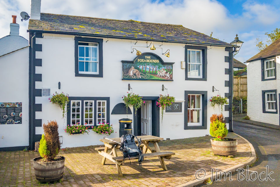
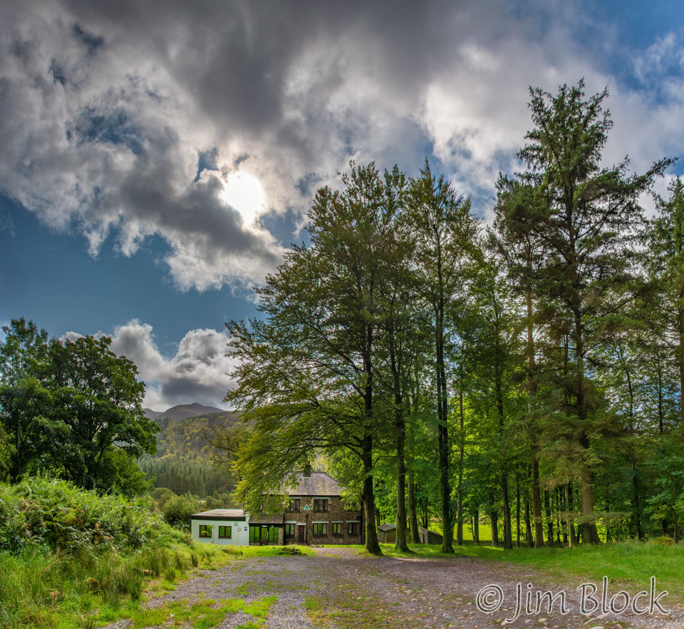
While waiting for Jim and Stephen, I took a photo of our hotel with my iPhone. That is my backpack on the table bench.
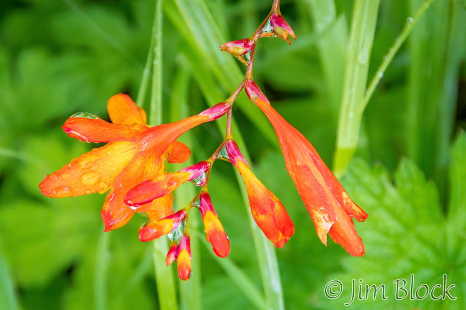
I also photographed a wild montbretia.
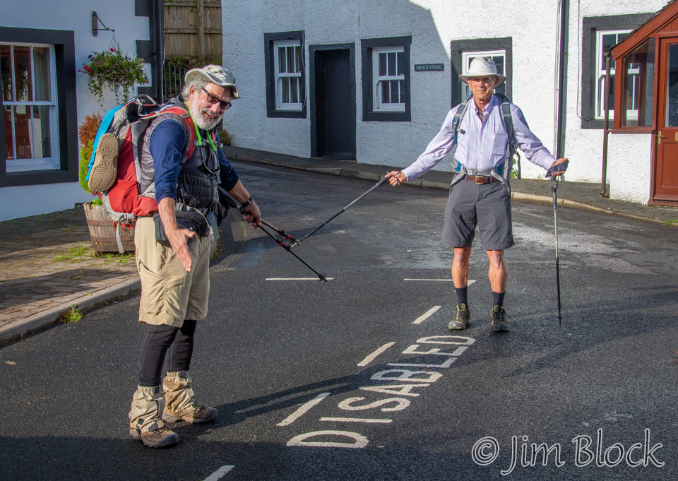
Jim and Stephen emerged from The Fox & Hounds, and we were ready to limp along the trail.
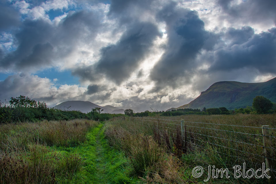
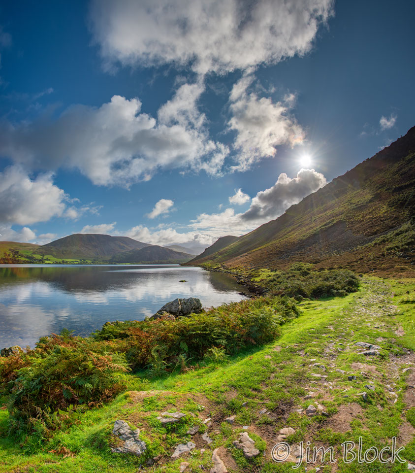
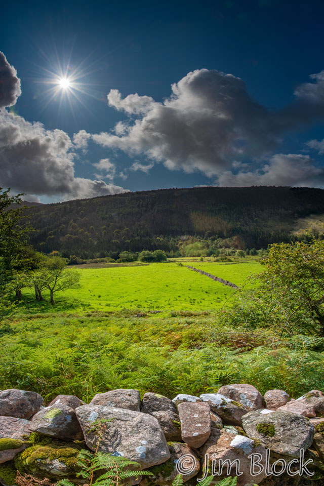
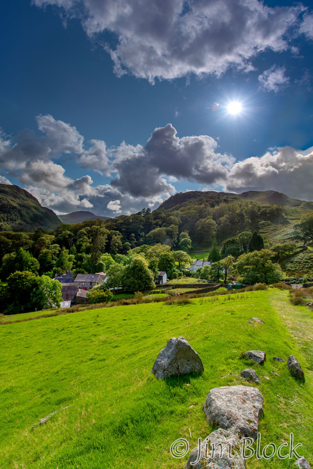
We had dramatic skies as we hiked the short distance from our hotel to Ennerdale Water.
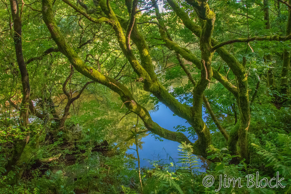
Just before reaching the lake, I got this shot through some interesting trees.
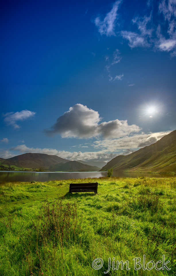
There was a bench at the head of the lake and a view across the water. I was puzzled why there were no boats on this beautiful lake. It was not until a few days later that I realized that “Water” meant reservoir. That realization hit me when I saw a “lake” that very clearly was a reservoir rather than a lake for recreation.
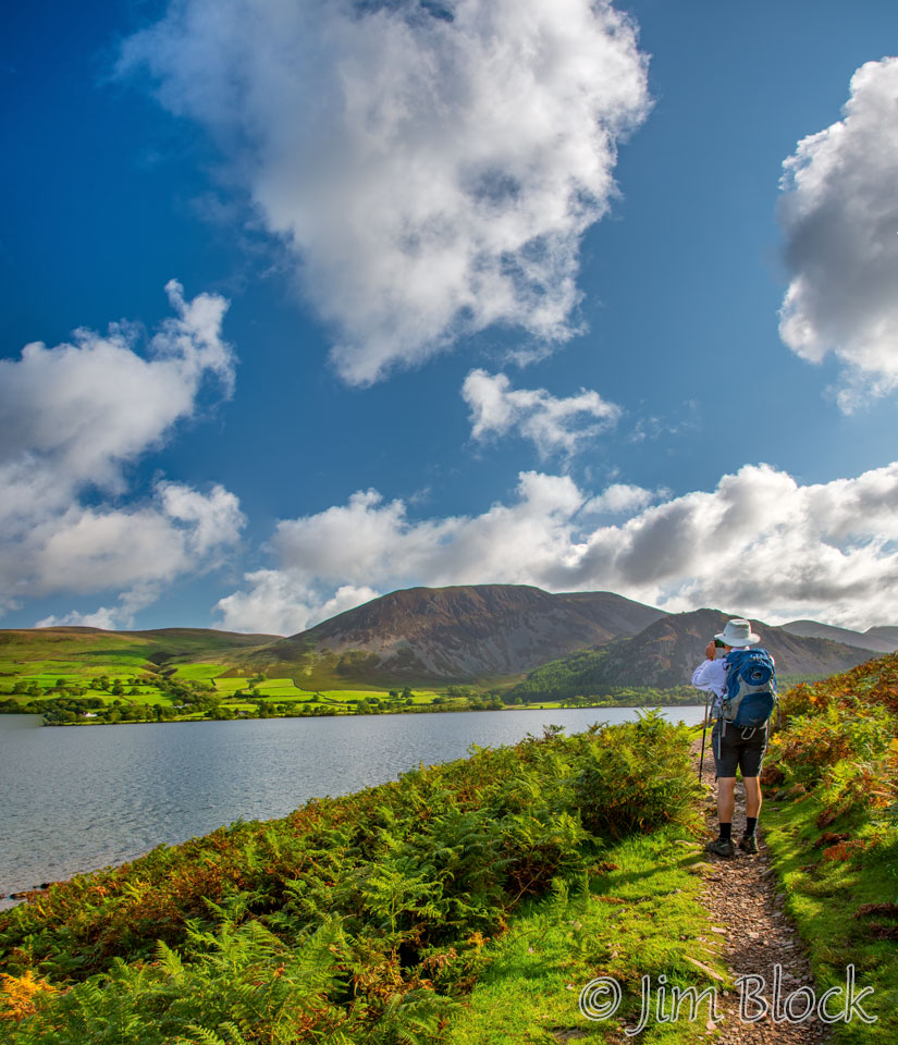
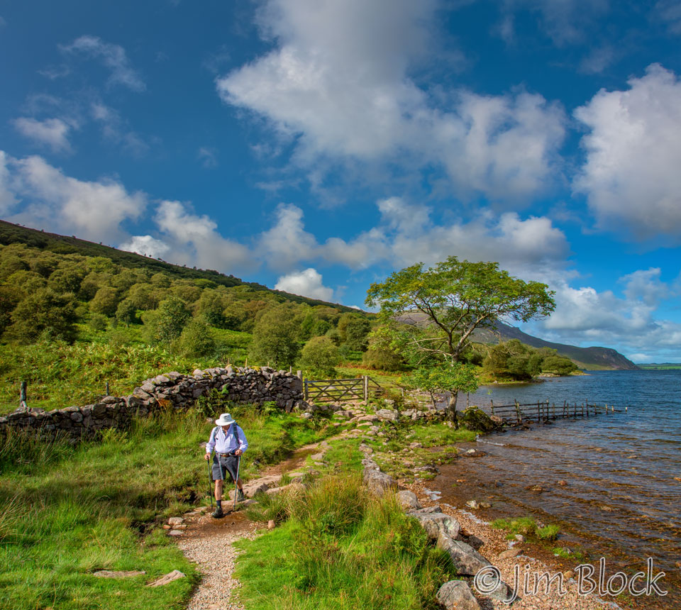
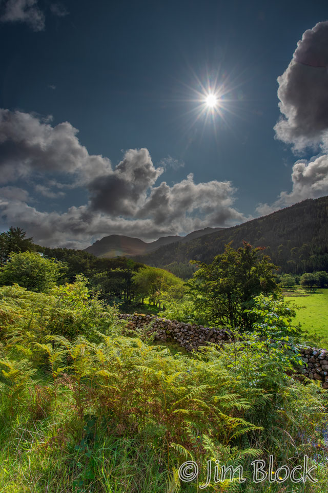
The initial part of the path along Ennerdale Water was easy with wonderful views.
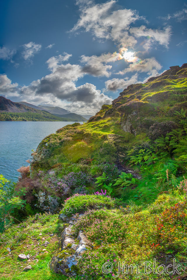
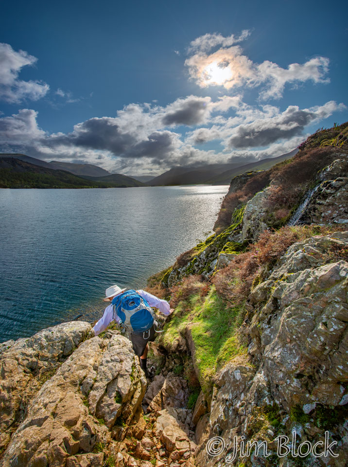
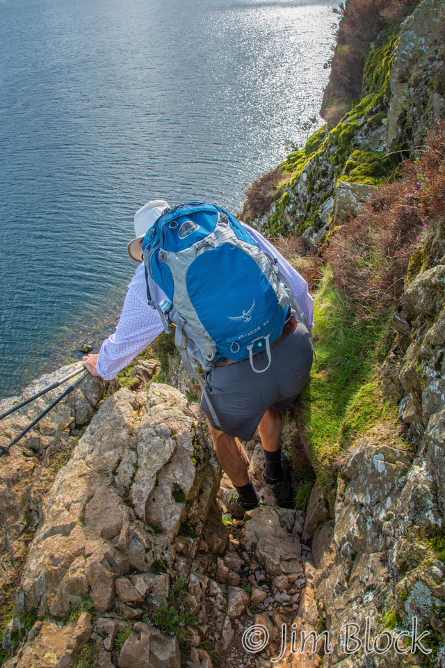
While Jim took an easy high route, Stephen and I worked our way along the rugged cliffs. Along the way we saw some weak iridescent clouds, as can be seen in this cropped version of the previous photo.
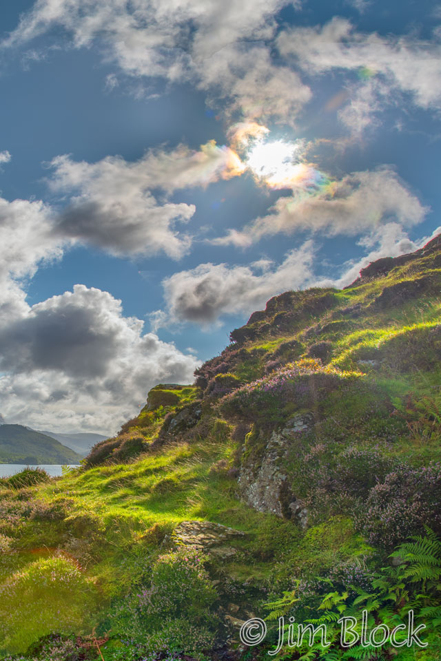
Here is Stephen scrambling down a particularly tricky place. It would have been unfortunate to fall the second day of the hike. In the photo on the right below you can see a bit of cloud iridescence.
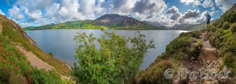
As we worked our way along the cliffs, I made this 14-photo panorama which gives an approximately 180° view.
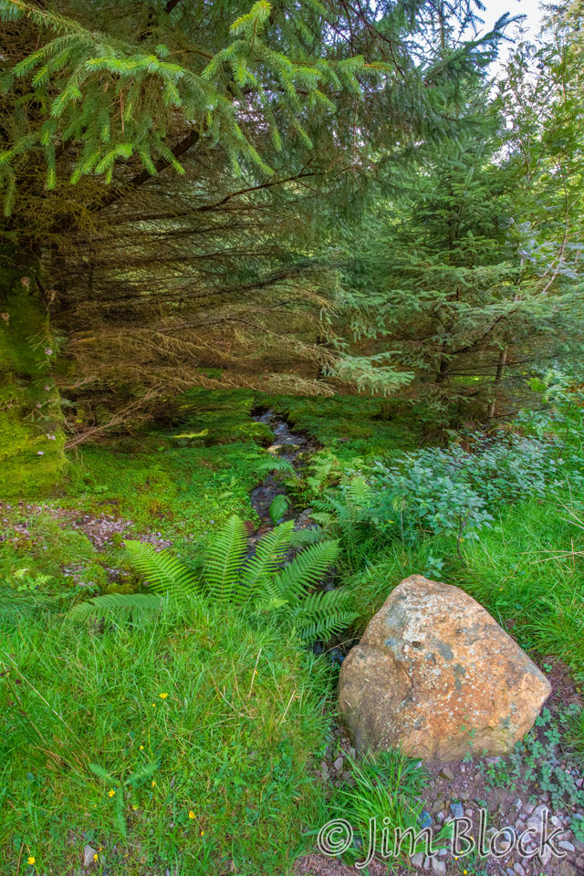
After we hiked beyond the cliffs, we passed a number of very interesting trees.
")
")
")
")
")


")
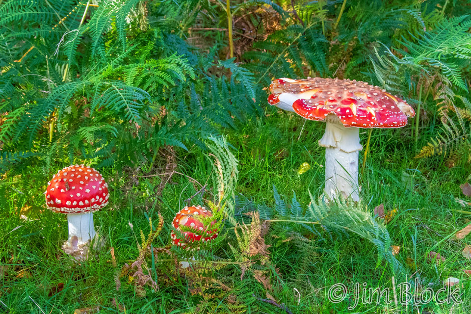
Along the way we found some colorful Amanita muscaria, Fly Agaric, mushrooms. Not something you would want to eat.
Here is Stephen as we neared the far end of Ennerdale Water.
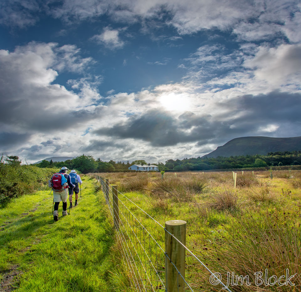
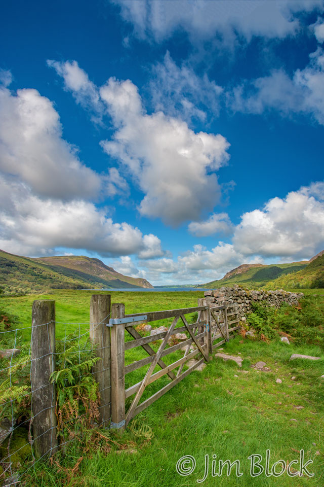
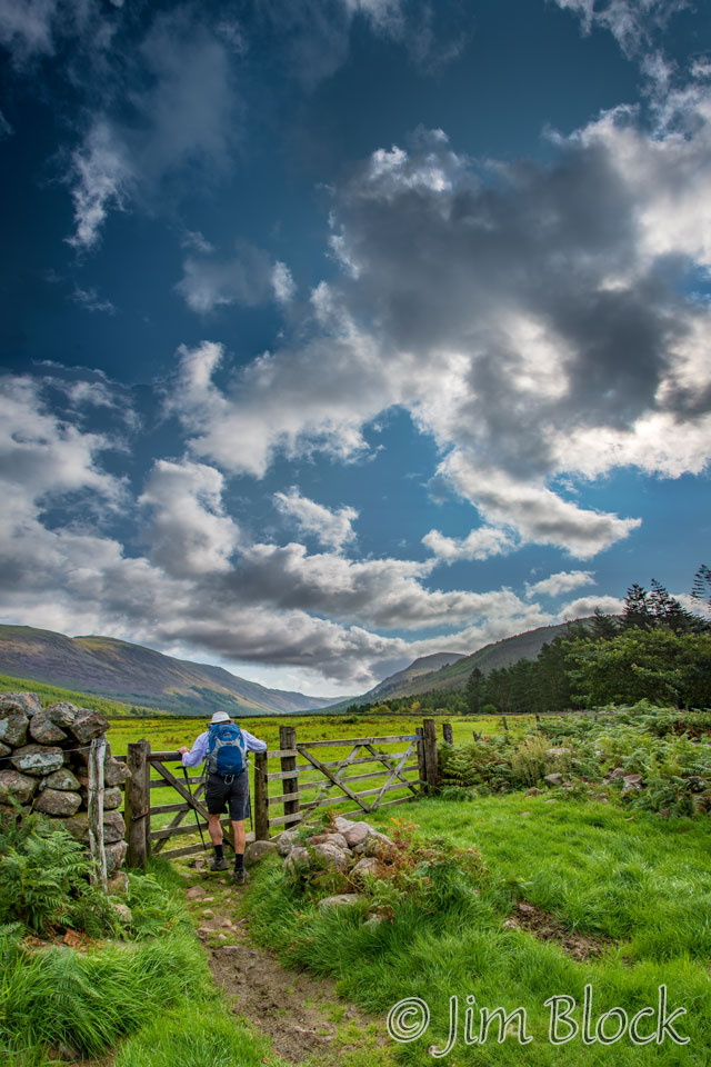
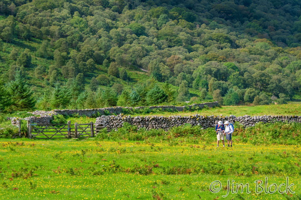
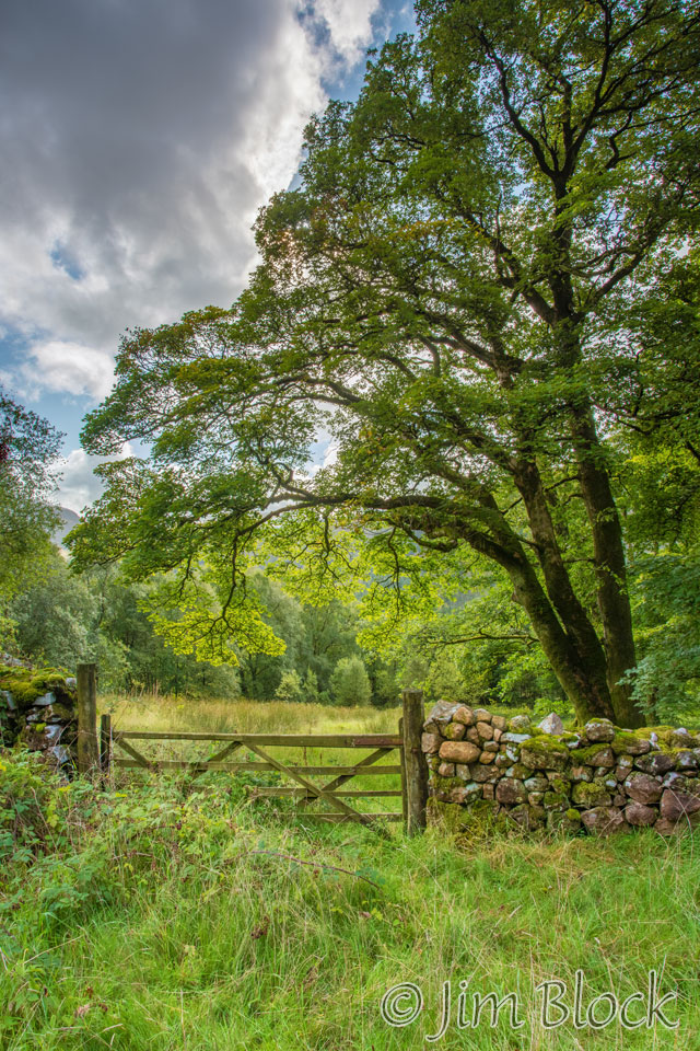
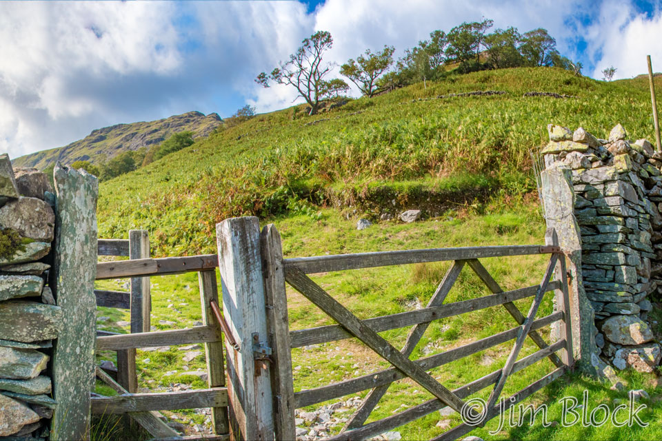
Leaving the lake we passed through a number of gates.
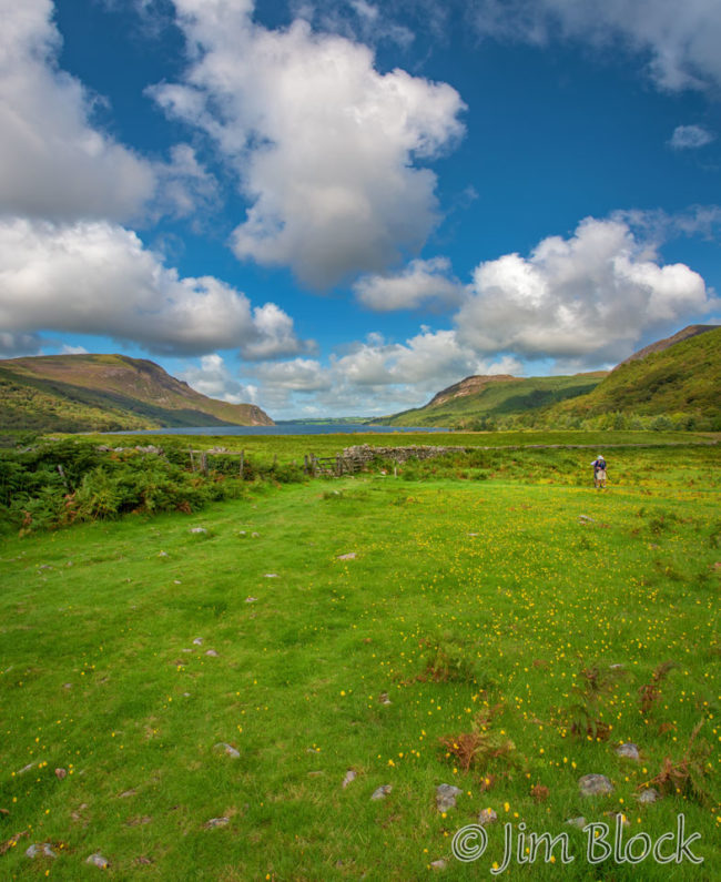
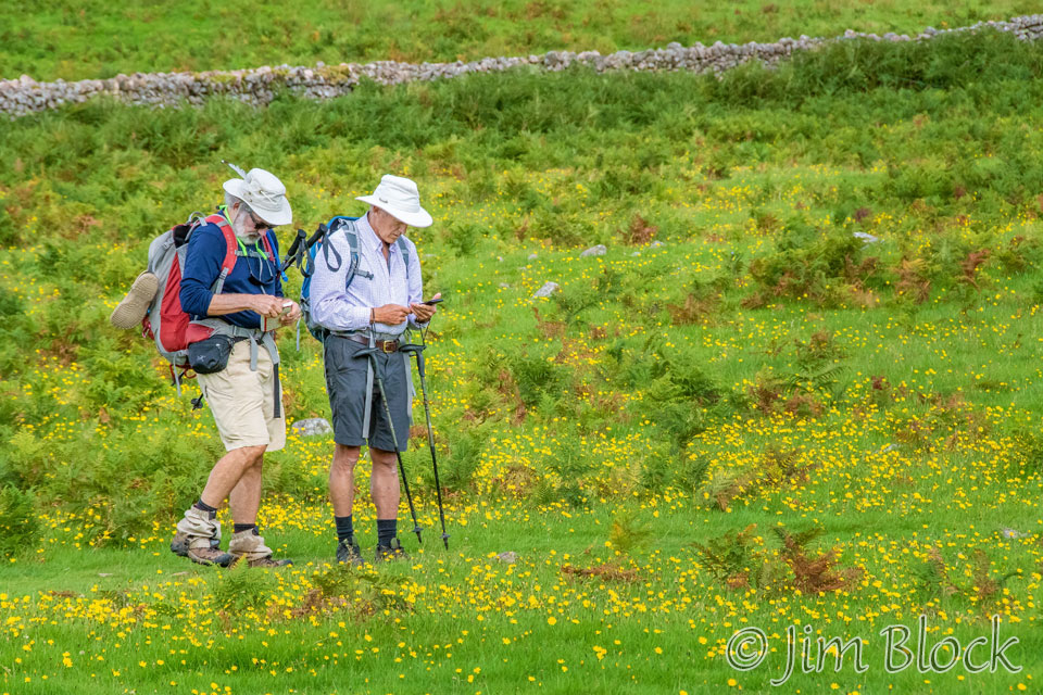
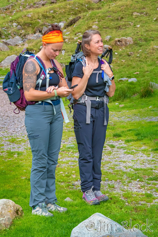
One of the gates led into a huge field. In the photo below you can see Ennerdale Water in the background and the small figures of Jim and Stephen, who were consulting on the route.
Here is a closer view of them. It looks like Jim was studying his book and Stephen checking the track on his phone.
I “knew” where we were going because of my pre-recorded Wikiloc track, so I took a short cut diagonally across the field.
I looked back and used a longish lens to photograph Jim and Stephen still trying to determine the way to go.
They finally headed to one of the other corners of the field. You might be able to spot them in far distance in the two photos below. The photo on the right has something that I initially thought might be a Sundog, but I believe it is simply lens flare. The spot is in the wrong place for a Sundog – at too high an angle and too near the sun.

When I reached the other corner of the field I realized that there was no way to get across the stone wall. The gate was firmly locked and not easily climbable, and there was some barb wire. So I hiked back along the wall to where Stephen and Jim passed through a gate and then headed back along the other side of the wall to catch up with them. It seems they had it right all along.
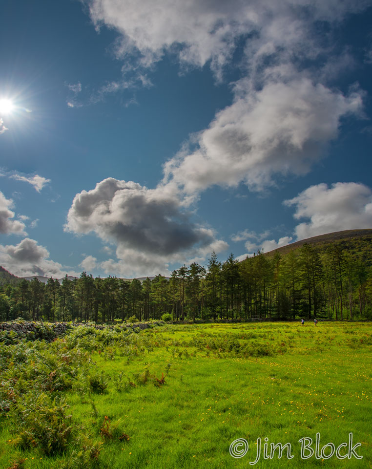
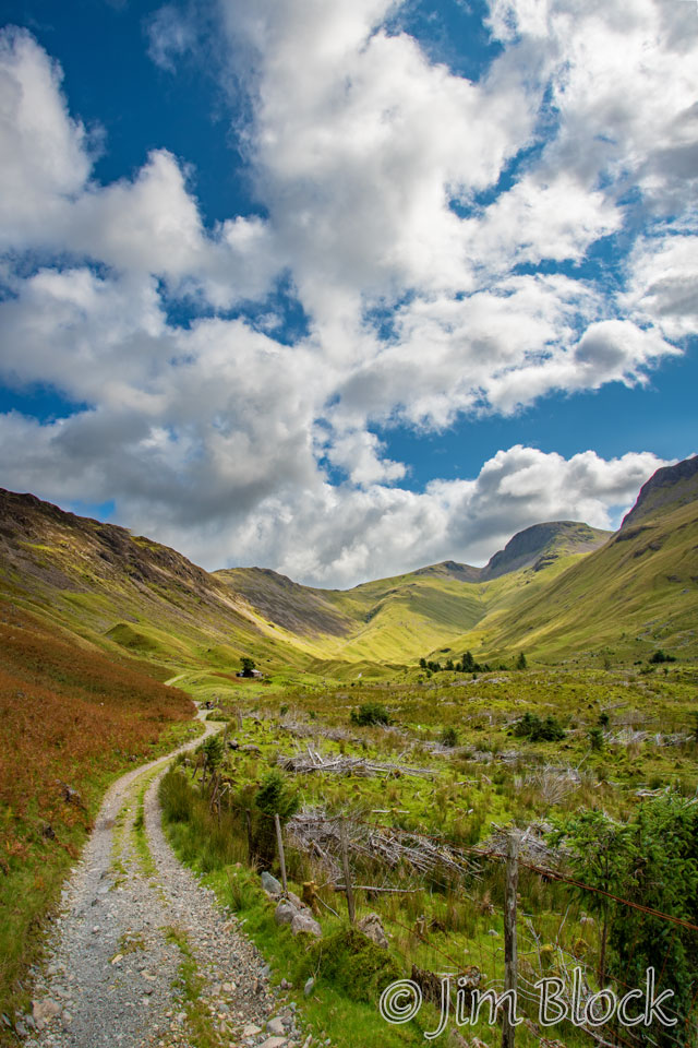
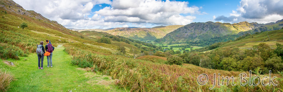
It was a very pleasant walk along the valley of the River Lisa from Low Gillerthwaite to High Gillerthwaite. Here are four photos I took as we walked along this stretch.
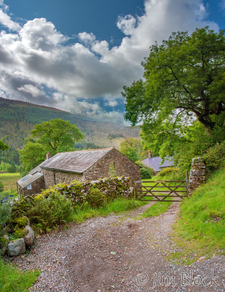
We eventually reached the Ennerdale Barn Youth Hostel.
Below is a photo of the barn and an interesting stone wall and gate nearby.
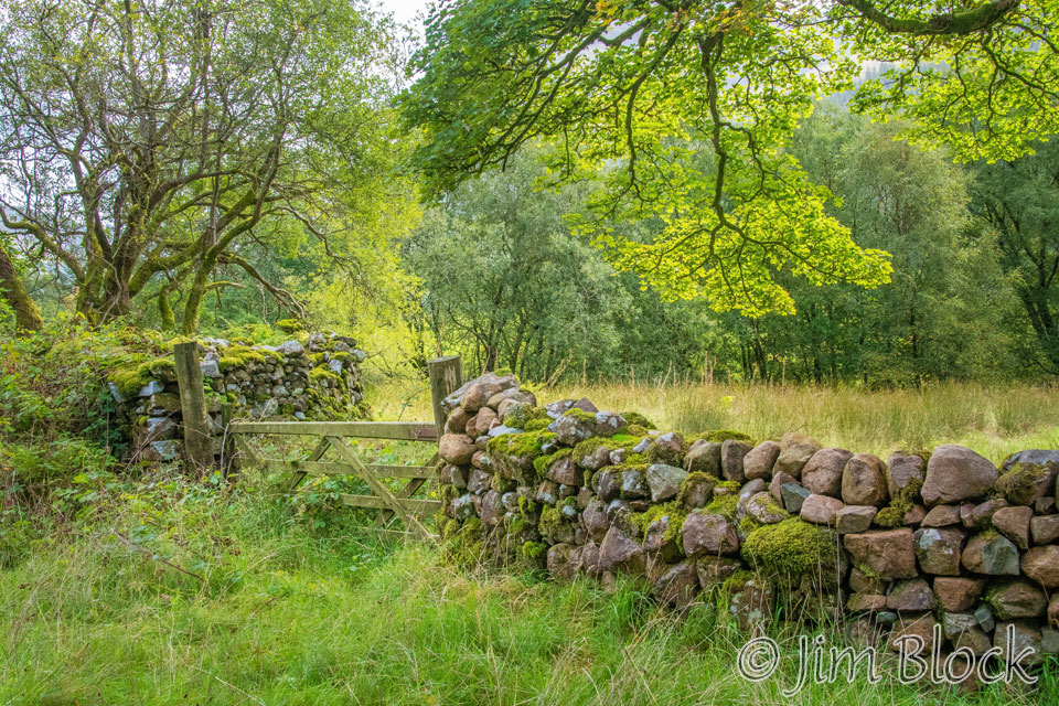
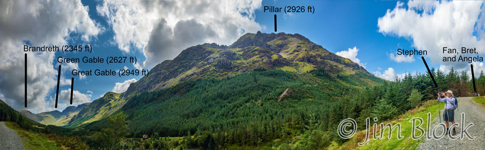
We continued along seeing more gates, stone walls, and views across the valley. In the photo on the right below you can see Pillar, Black Crag, and Steeple in the distance.
Here is a closer view of the three with Pillar (2926 ft.) on the left.
We got to a split in the trail and had to decide which way to go. The Wikiloc pre-recorded track clearly told us to go to the right. You might be able to make out some folks ahead trying to decide if they are on the right path. In this photo you can see Eagle Crag at the far left. This is a feature we would see in the distance and then walk past our third morning.
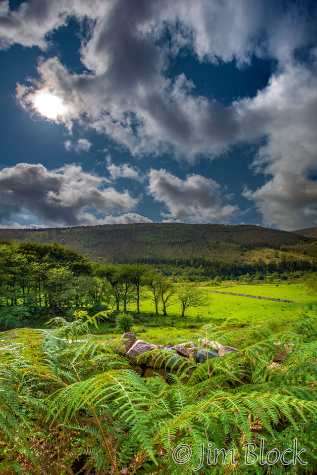
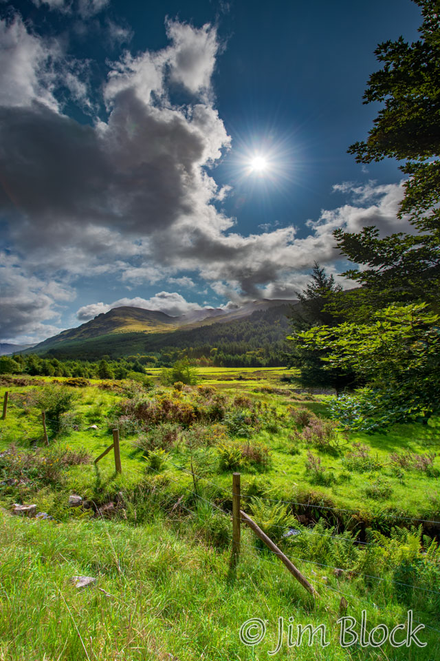
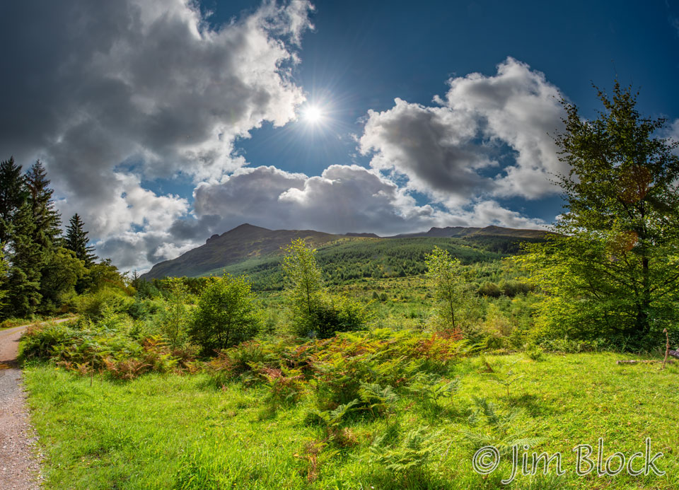
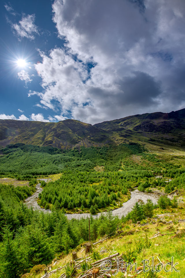
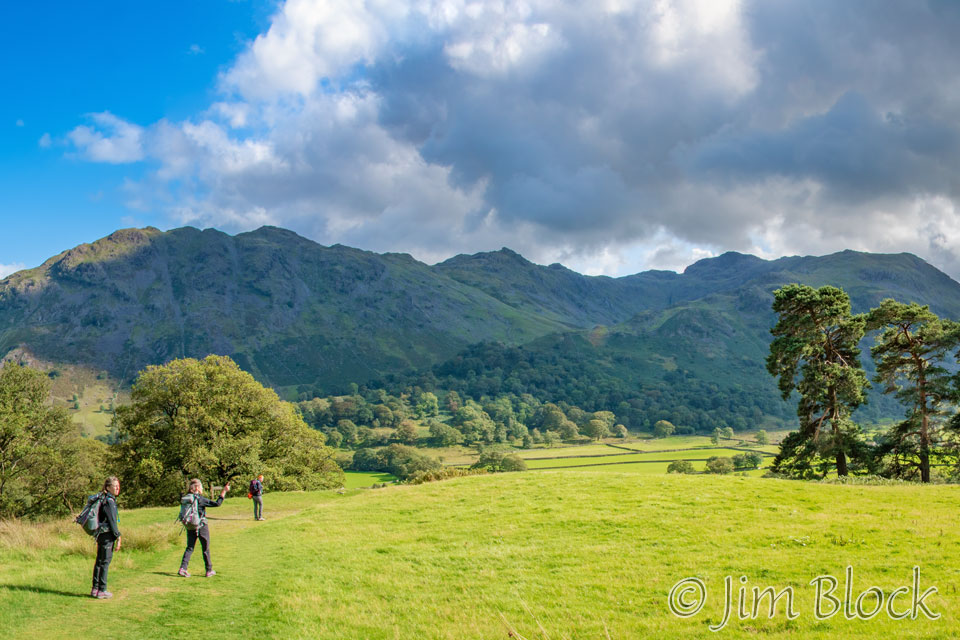
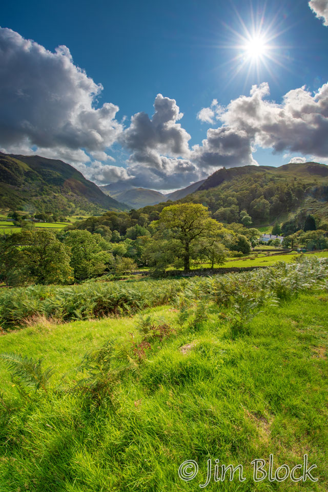
The walk through the River Lisa Valley was quite pleasant — beautiful skies and temperature around 60°F.
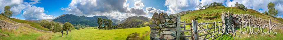
The scenery opened up, and I made a 6-photo panorama with my iPhone. Here it is with some features labeled.
Here is a cropped version of the panorama above.

--WITH-LABLES-crop")
Shortly after we passed a large oxbow in the River Lisa, we saw the Black Sail Youth Hostel in the distance. You can see the oxbow in the photo on the left and perhaps make out the hostel in the far distance in the photo on the right below.
We had almost caught up with Kim and Paige as we approach the hut. You can see them in the pair of photos below.
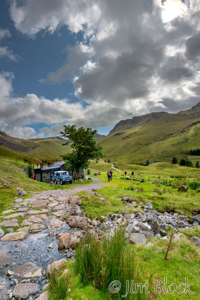
Below is a cropped version of the photo on the left above to give you a better view of the hut and the environment near it.
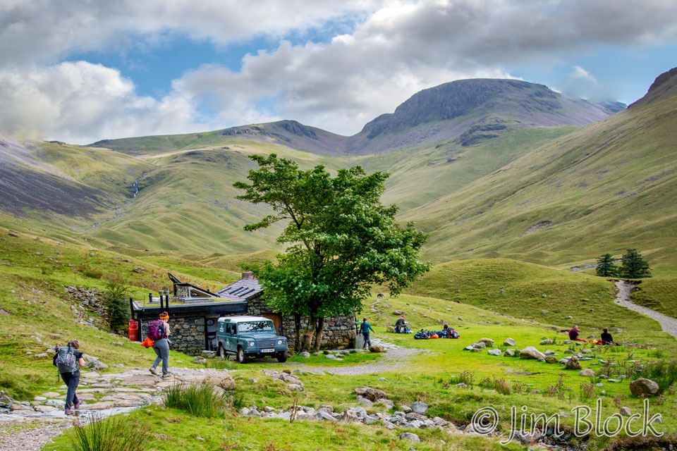
This 5-photo panorama shows Stephen, the hut, and our trail up to the left of Green Gable and Great Gable.
---crop")
--WITH-LABELS-crop")
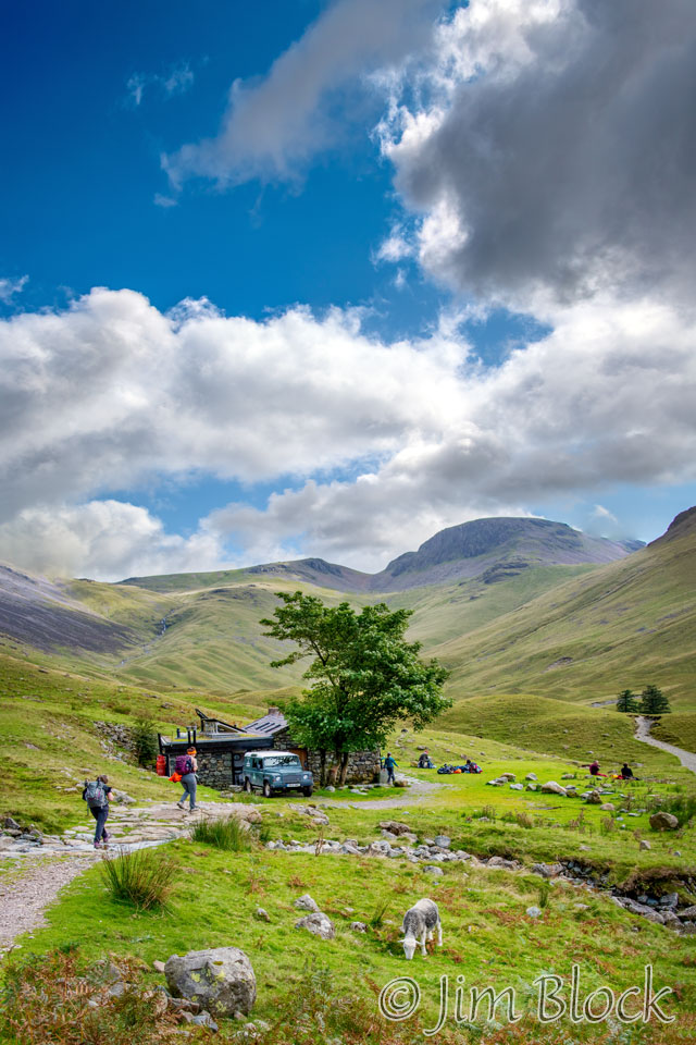
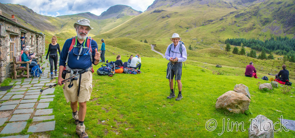
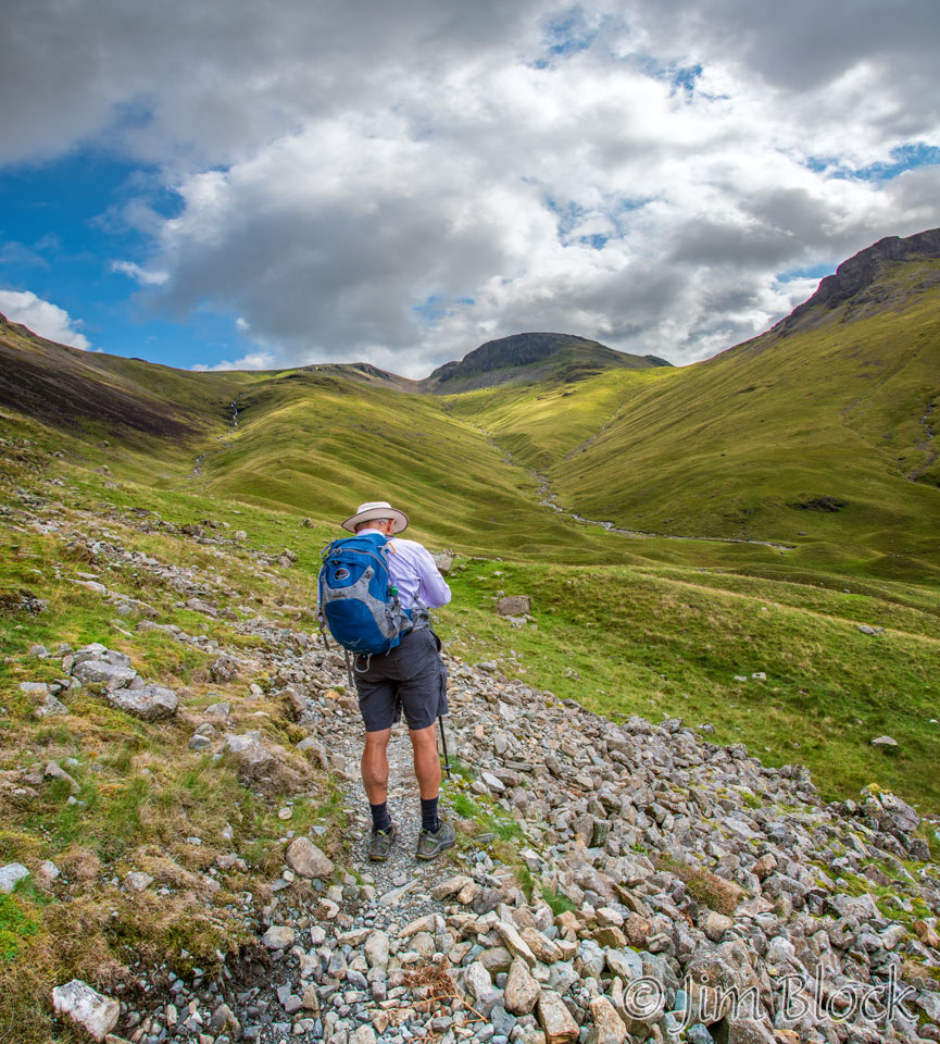
Jim had arrived at the Black Sail Hut slightly ahead of us. Here he is walking toward me as we prepare to depart.
We walked with Paige and Kim on and off most of the rest of the day. Here we are heading up the trail.
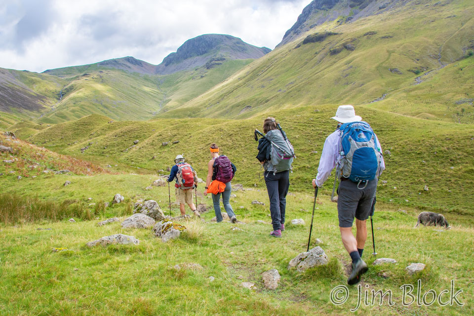
Stephen was on a rocky part of the path to the pass in the photos below.
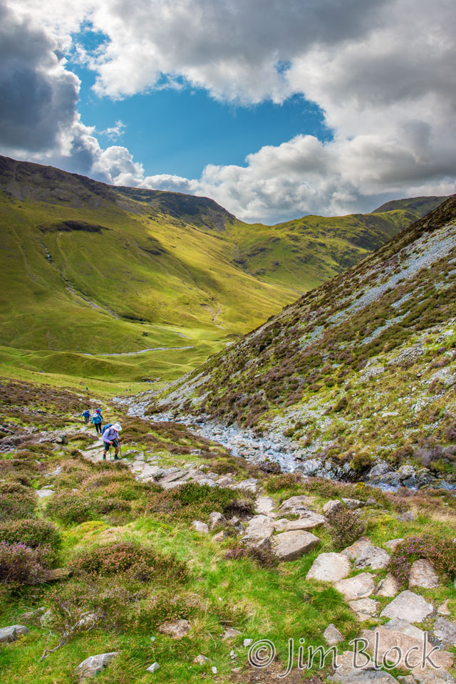
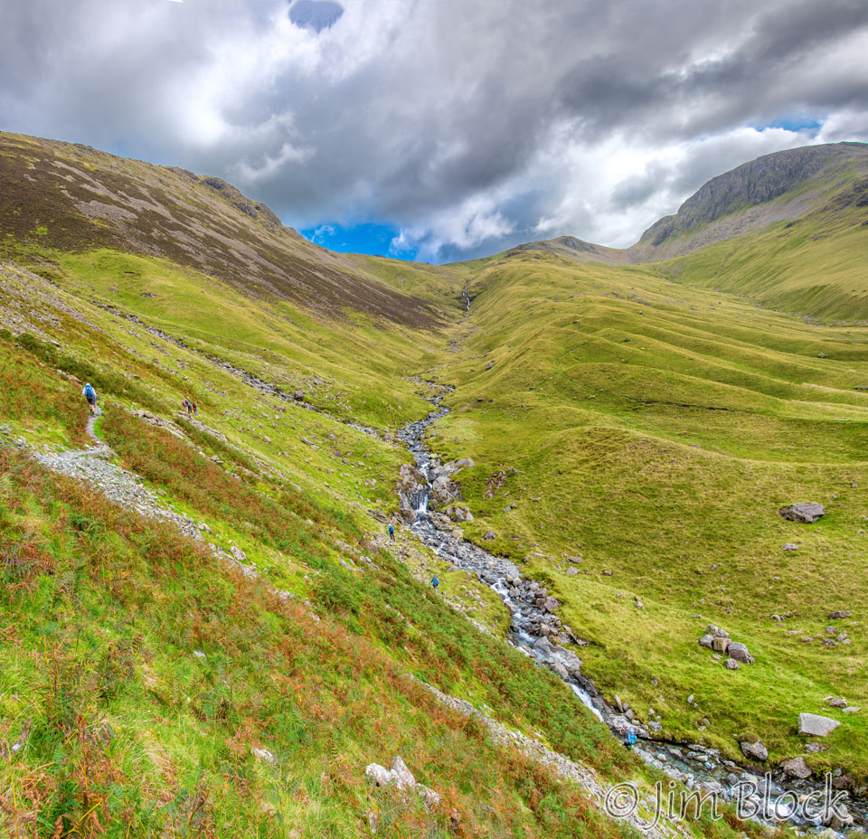
Below are two 6-photo panoramas made as we climbed above the Black Sail Hut toward the pass. The photo on the left shows the view up toward the pass, and the photo on the right shows the view back into the valley we came from. You might be able to spot the tiny figures along the path and down near the stream in the photo on the left.
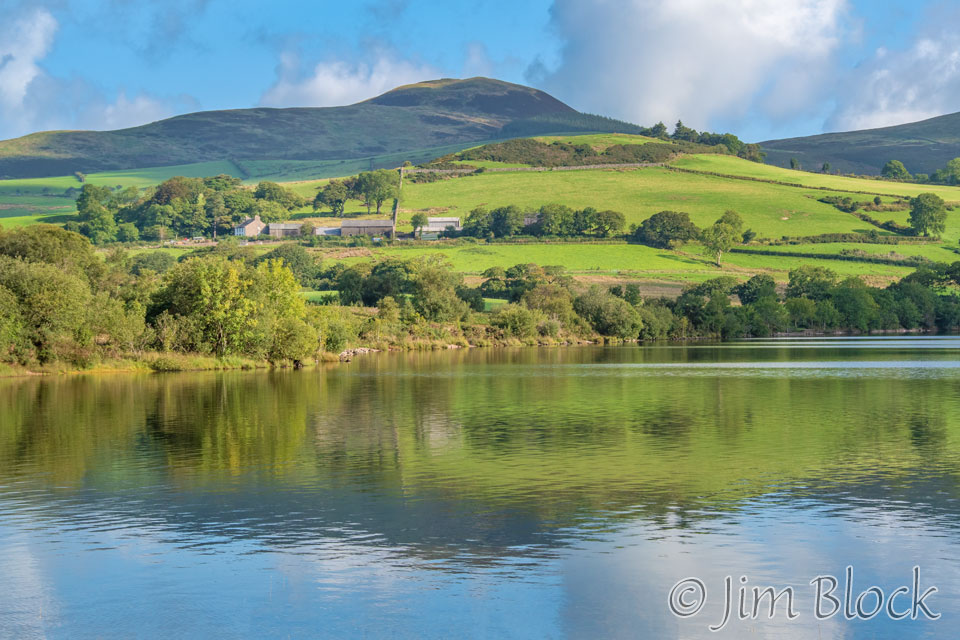
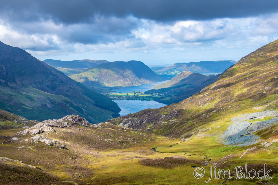
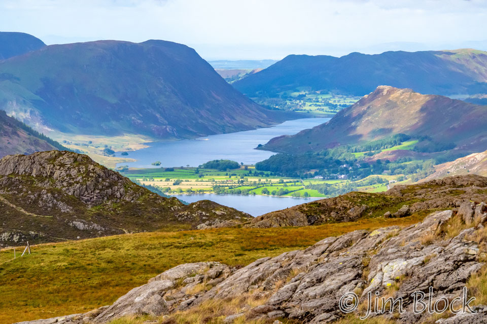
We crossed the slopes of Brandreth and Grey Knotts and got a view of Buttermere and, beyond it, Crummock Water in the far distance. The peaks are High Stile on the left and Gasmoor on the right.
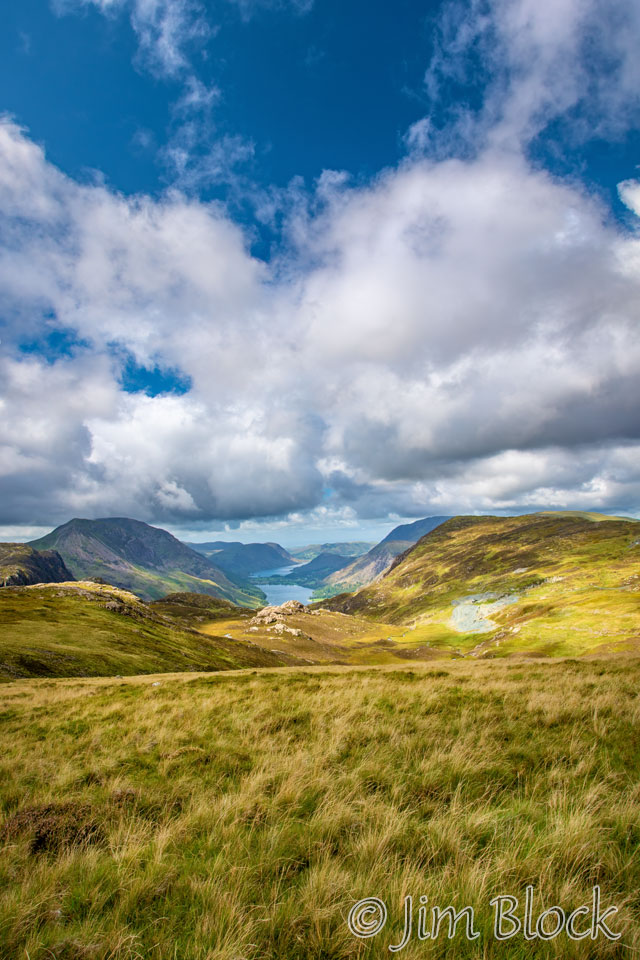
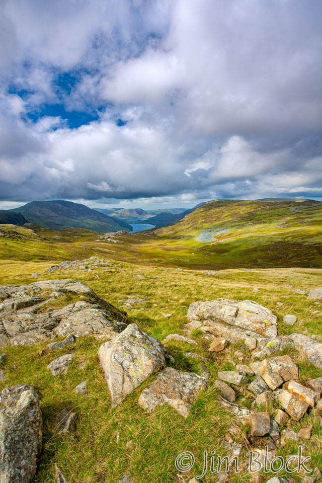
Below are two closer views of the two lakes and the village of Buttermere between them.
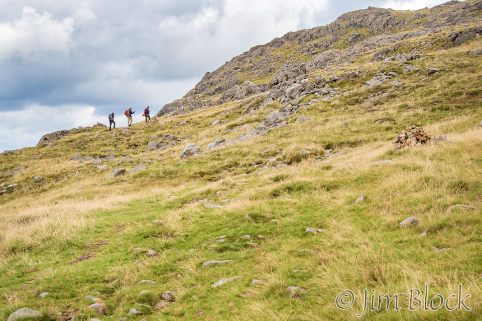
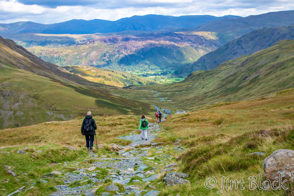
We climbed even higher. Here you can see Kim, Jim, and Paige ahead of Stephen and me.
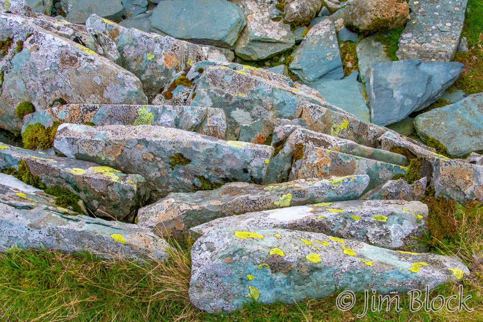
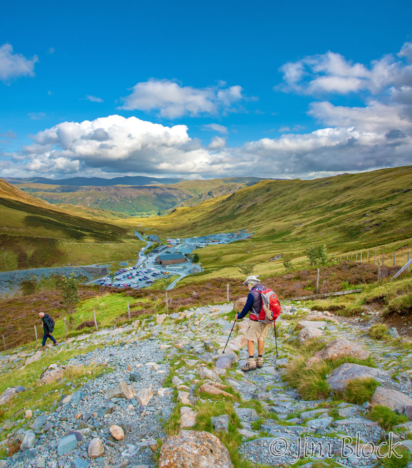
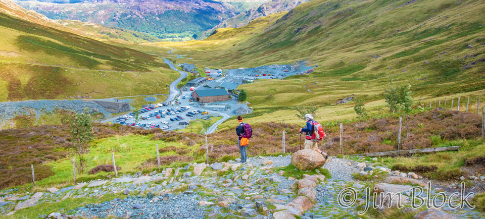
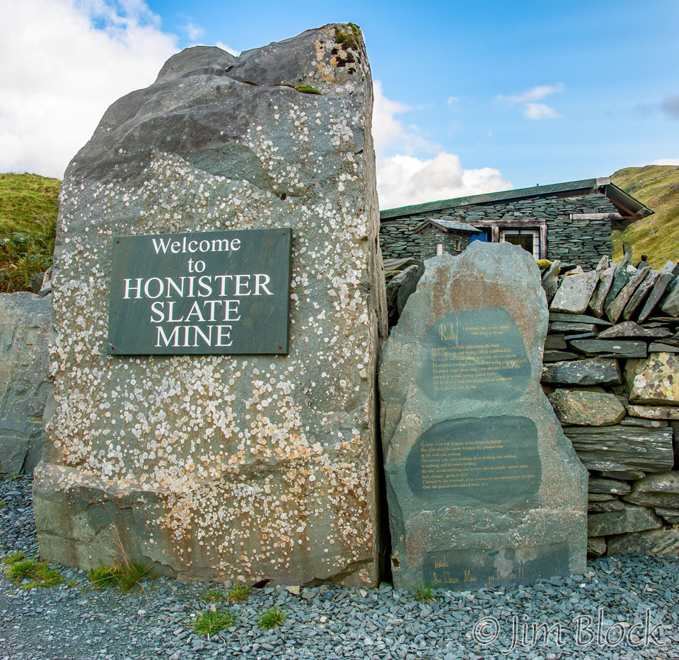
We came upon great piles of slate. At this point I didn’t realize that we were heading down toward the Honister Slate Mine operation.
Below are three photos of us approaching the mine buildings. In the third one you can see Paige and Jim.
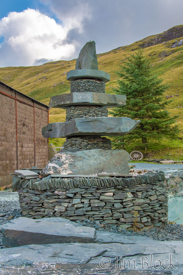
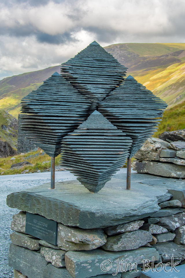
Below is one of the Honister buildings with a sculpture made of slate.
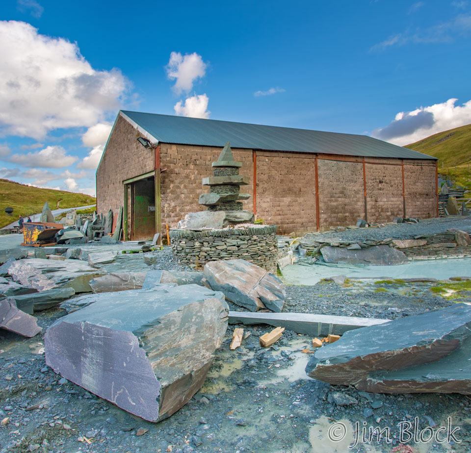
Here is a closer look at the sculpture with Paige posing near it.
While Paige was posing, her mother, Kim, was photographing her with her iPhone. On the right below is a road leading down into the slate mine.
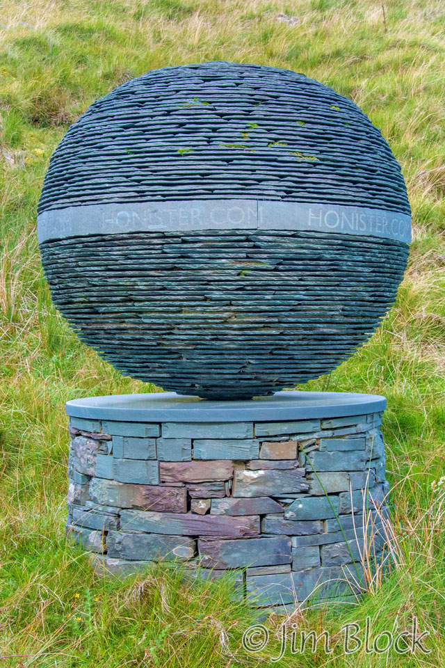
Here are a pair of interesting sculptures made of slate.
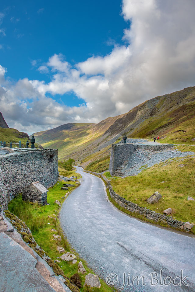
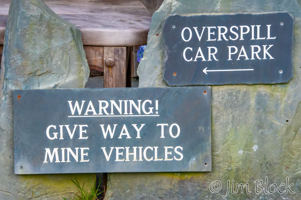
Most people enter the slate mine area from the road below. We came in from above and hence saw the entrance signs on our way out.
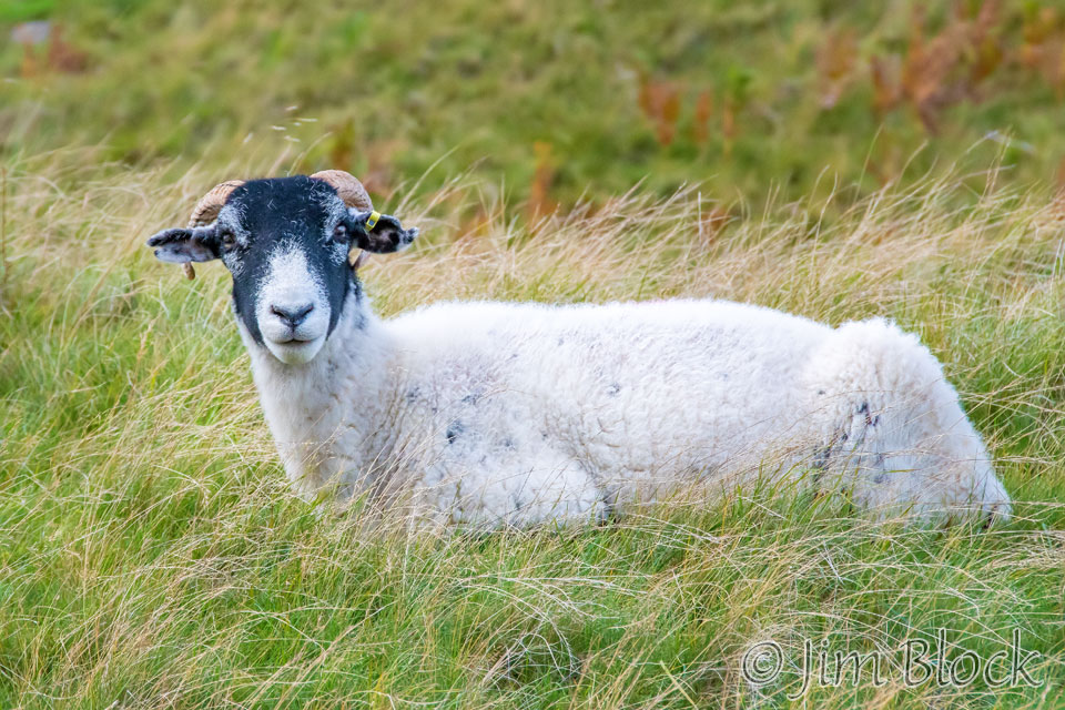
A sheep studied me carefully as we walked down toward Rosthwaite.
Kim and Paige were ahead of me by a bit most of the way to Rosthwaite.
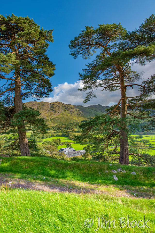
But before we got to Rosthwaite, we had to pass through the charming little village of Seatoller. Here are four photos taken as we headed down toward that village.
")


As we walked down I made a 17-photo, 360+ degree panorama.
Below are cropped portions of part of the left side of the panorama and a bit on the right side. You might notice, or not, that the stitching of the panorama put Kim in the image twice. I could easily fix it, but chose not to.
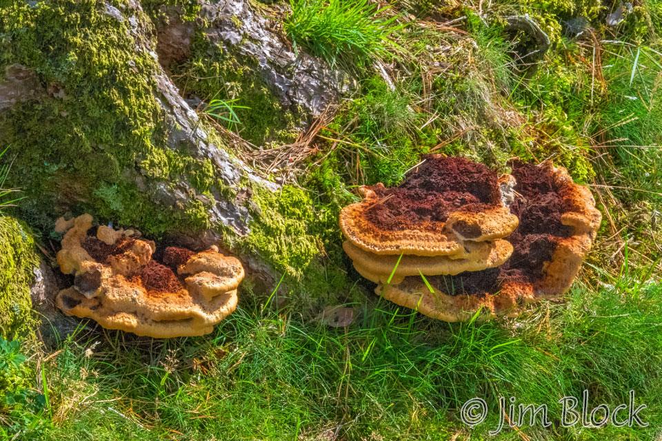
Below is a pair of multi-image panoramas made as we hiked down toward Seatoller. In the left photo, you might be able to spot some mushrooms at the base of the tree.
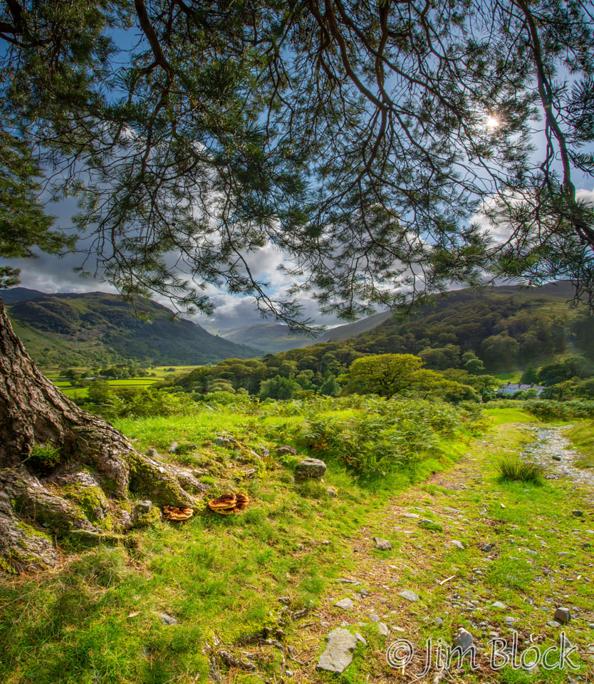
Here is a close-up of the mushrooms. These are, perhaps, shaggy brackets.
I enjoy getting the sun in my photos, and I had an opportunity to do that as we walked westward late in the day toward Seatoller. As the crow flies in a straight line, Rosthwaite is directly east of the slate mine, but there was a large switchback through Seatoller that we had to walk.
The trees, ferns, and stone walls in this area were quite interesting. Here is a three-image slideshow. That is Stephen walking toward me in one of the photos.

")
")
I passed through a somewhat tricky section of the trail and then waited until Stephen, Kim, and Paige convince themselves that I was on the right path. Here are two photos of them trying to decide if this was really the right way to go.
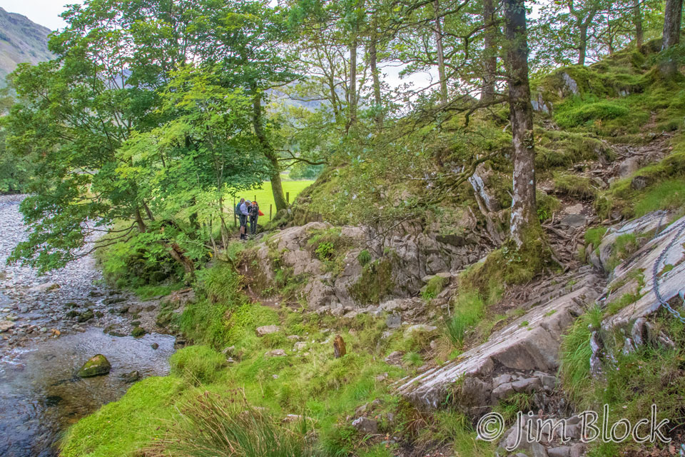
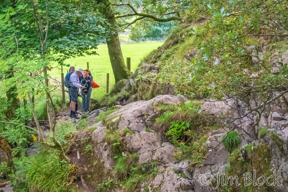
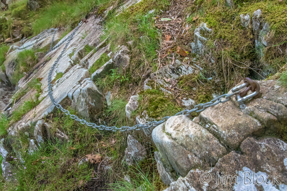
I could understand their reluctance because the section was a bit tricky and had a small portion of via ferrata. Perhaps you can spot the chain that helps folks in the 7-photo panorama below.
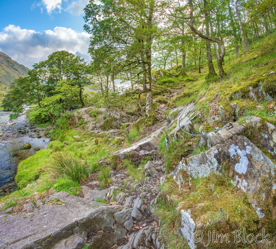
Here is a closer view of the chain.
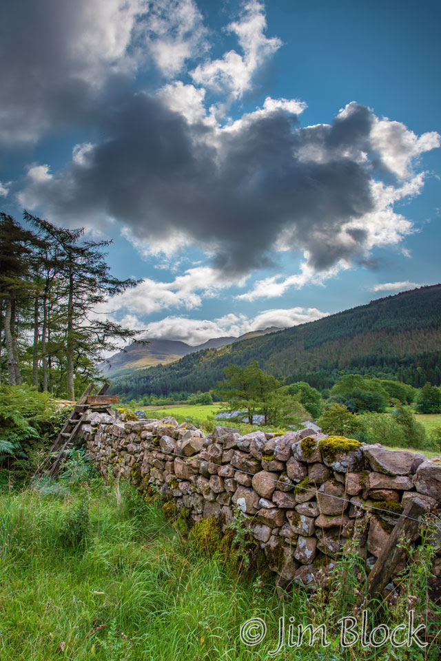
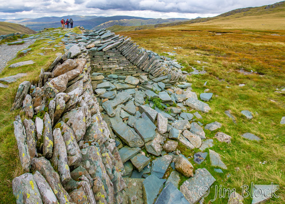
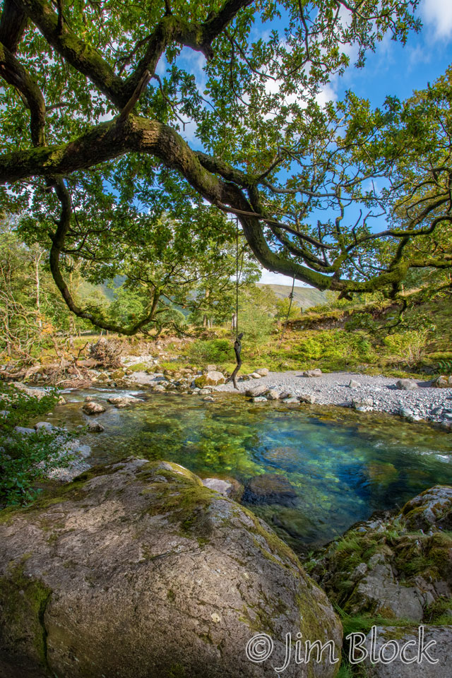
Near that section was a rope swing, with a crooked stick tied to it, above the river seen in the image on the left below. As we entered Rosthwaite, there were some very impressive stone walls.
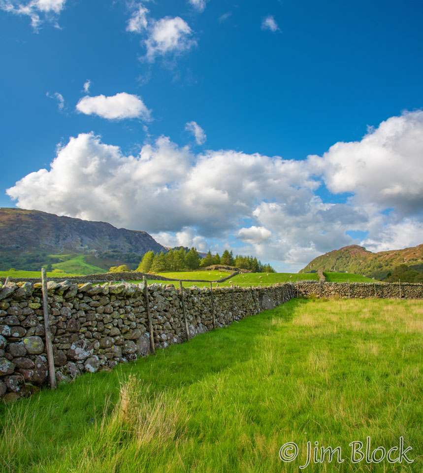
We passed through the gate you might be able to see near the center of the photo below. Beyond the far stone wall are the houses of the village of Rosthwaite.
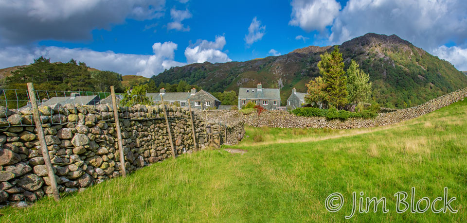
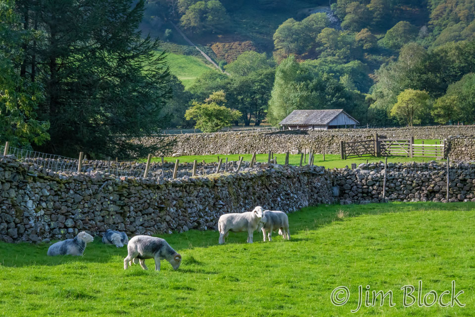
Coming into the village, I got a photo of this pastoral scene of sheep and many stone walls.
We spent the night at the Royal Oak Hotel. In my small room I found a sign saying that the Internet would be faster if I went to the TV room. What they really meant to say was, you could only get Wi-Fi if you sat in or near the TV room.
Since I like to dictate emails or text messages into my phone, sitting in the TV room with other people was not desirable. However, I found a seat just outside of the TV room that was perfectly adequate.
The dinner at the hotel consisted of one choice. What that really means was there were no choices. You have either had the salmon or nothing. If my wife happened to be with us it would have been nothing, since she cannot eat salmon. However I can, and I found the dinner excellent. The food made up for the several shortcomings of this hotel.
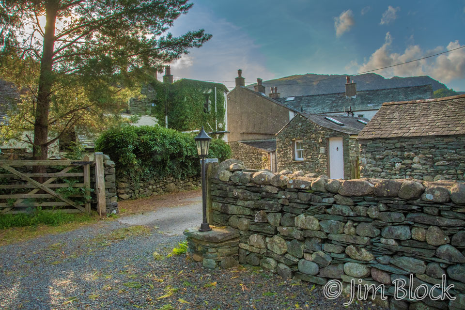
Here is a view of the entrance to the back courtyard of the hotel.
Overall we had a truly excellent second day. Could it get more exciting? Yes, as we found on days three and four where we took spectacular alternate high routes during the second half of each day.
![]()