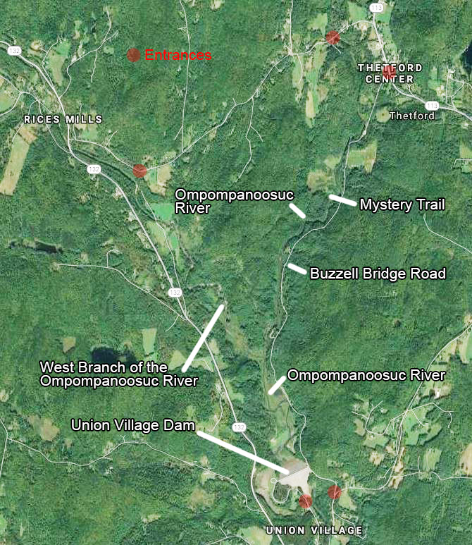
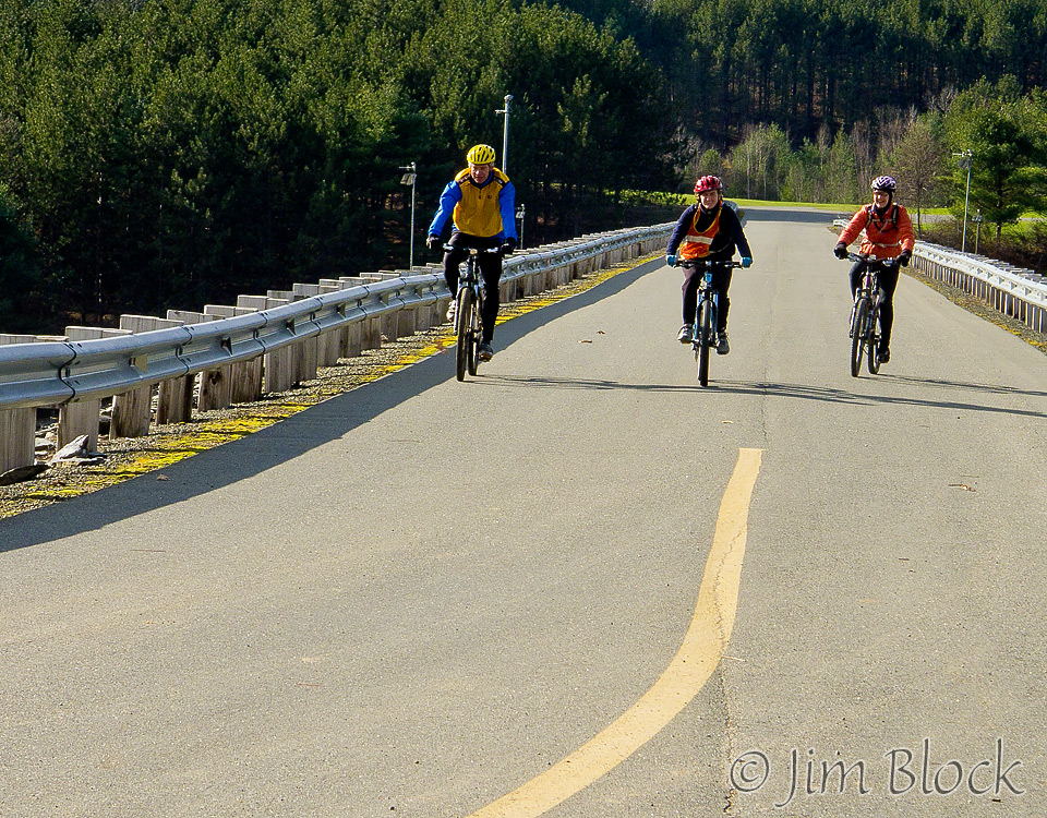
This large and diverse area in Thetford, Vermont has a network of trails suitable for mountain biking, cross country skiing, birding, and hiking in all seasons. It is located north of the Union Village flood control dam. Most of the area lies between the main (East) and West branches of the Ompompanoosuc River.
There are four official entrance spots, but they are open only during the summer. One entrance is off Rt. 113 in Thetford Center along Buzzell Bridge Road. Two are from Union Village south of the dam. One is along Academy Road north of the covered bridge, and the main entrance is on the other side of the covered bridge. There is also an entrance to this area along Tucker Hill Road
In the spring, I often enter the area along Buzzell Bridge Road, although this entrance is normally closed about 1/3 mile in. However, walking along the road before crossing a bridge to the fields near the Mystery Trail is wonderful for seeing and photographing birds.
From July 2017 though at least 2019, the Buzzell Bridge Road is closed due to a high intensity storm that dropped roughly 4.5 inches of rain in a short period of time on July 1, 2017.
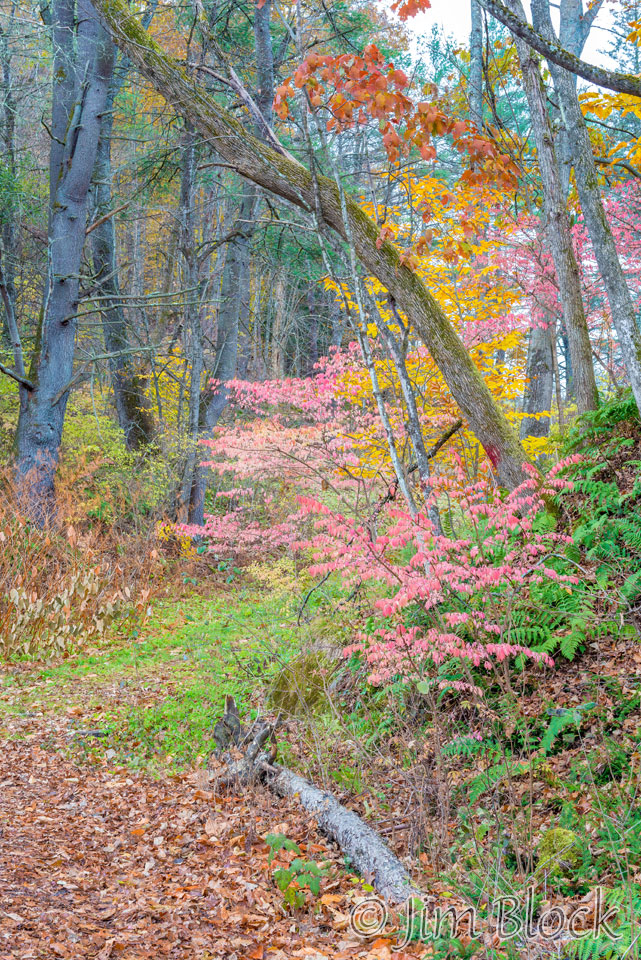
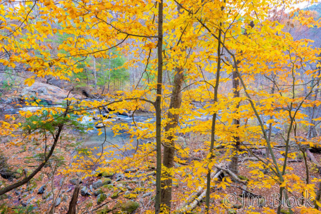
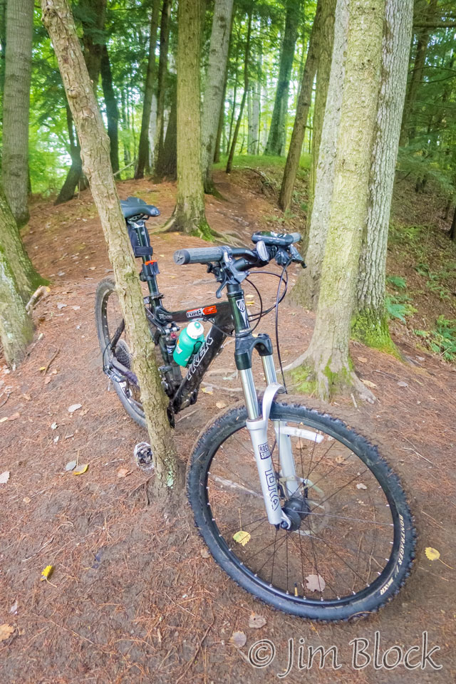
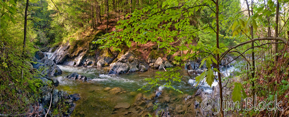
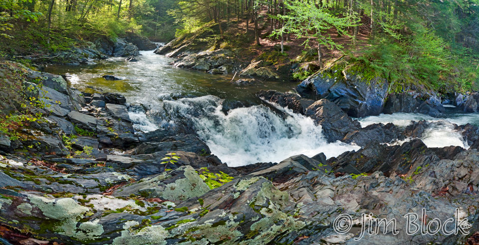
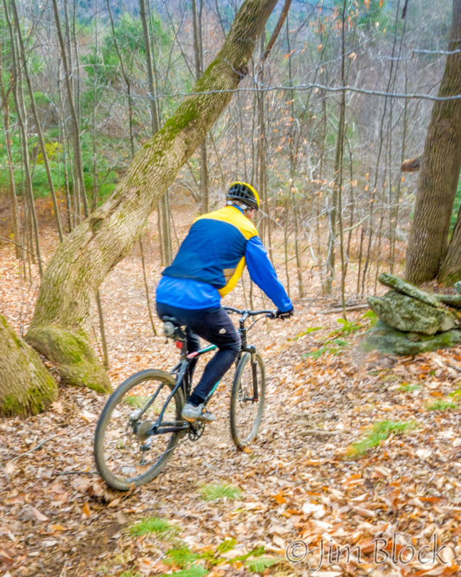
In all seasons, there is an excellent alternate entrance starting from the parking area for Bill Hill, which is just west of the covered bridge on Tucker Hill Road in Thetford Center. The two photos above were taken near that entrance.
A short distance from this parking area is a series of dramatic shoots and falls in the Ompompanoosuc River. These start just below the covered bridge and stretch downstream, perhaps an eighth of a mile. Here are some photos of these rapids taken during different visits.
")
")
")
")
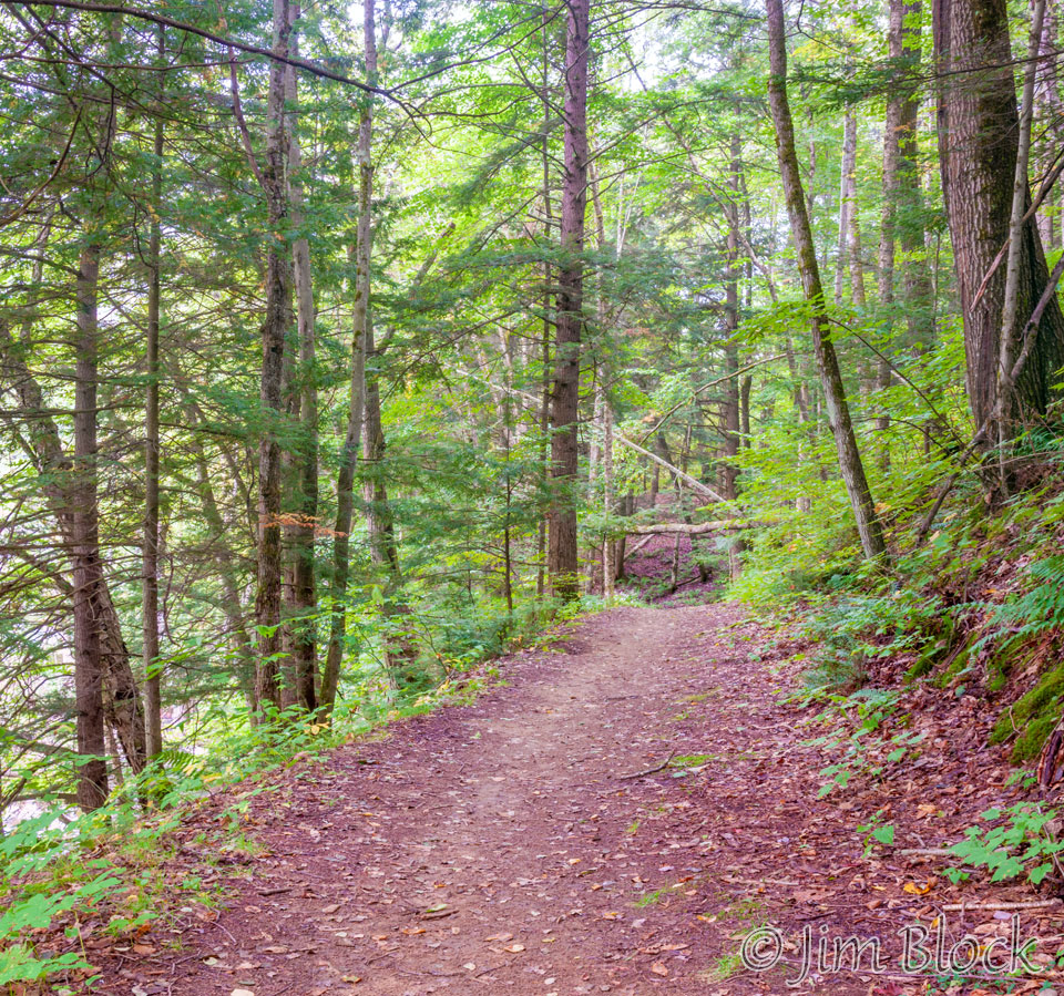
The beginning of the trail toward the Union Village Dam area from this spot is quite wide.
A short distance down the trail are a number of interesting rapids.

")
")
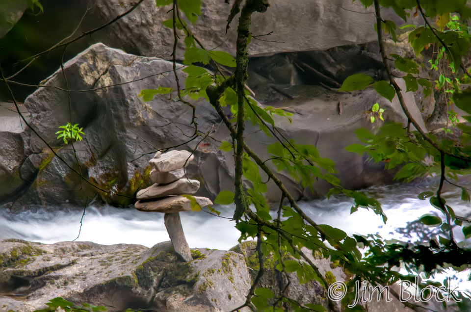
Someone built a small, delicately-balanced pile of rocks near the river in this area.
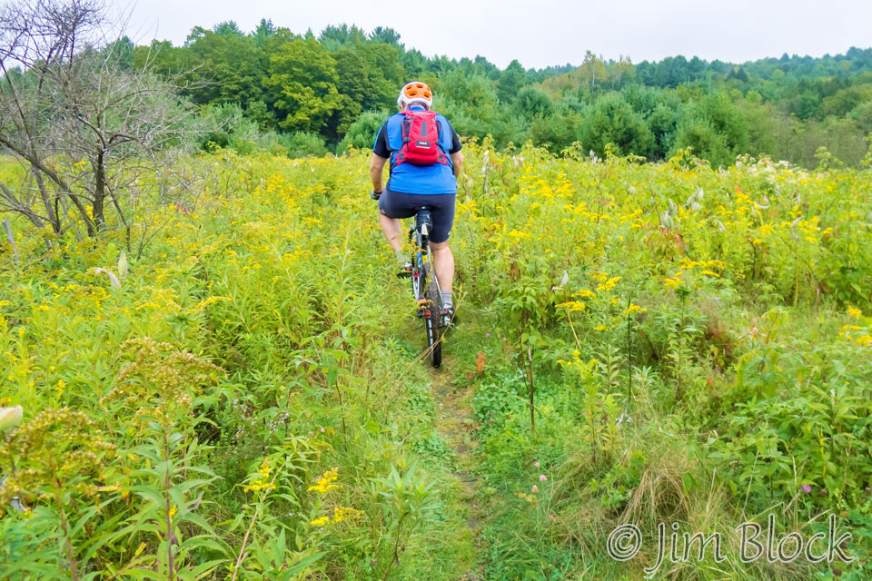
The trail becomes narrower and eventually emerges into a series of fields near the Mystery Trail (shown and described below). South and west of the Mystery Trail toward the dam is a large network of trails between the main (East) and West branches of the Ompompanoosuc River. Here are three photos taken in this area.
If one travels south, basically paralleling the Ompompanoosuc River, one reaches an area near where the West Branch of the Ompompanoosuc River joins the main branch. Here one is forced to turn and walk upstream along the West Branch. This is a beautiful area that is rarely visited because it is not easily reached by casual visitors. There are a number of interesting rapids along the West Branch that can only be seen if you walk, bike, or ski in a considerable distance. Here are some photos of the West Branch taken during three different visits.


")


")

")
")

")
")


The Buzzell Bridge Road entrance from Route 113 in Thetford Center can sometimes be driven all the way to and over the dam during the summer. But in the spring, when I normally use this entrance, it is closed after about an 1/8 mile. There is a large parking area here, and the walk along the road is quite nice for birds and wildflowers.
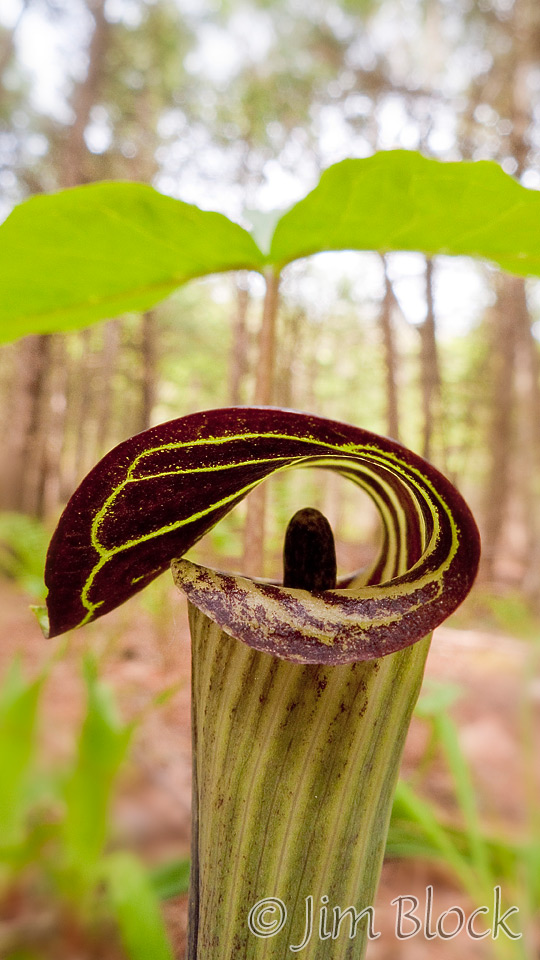
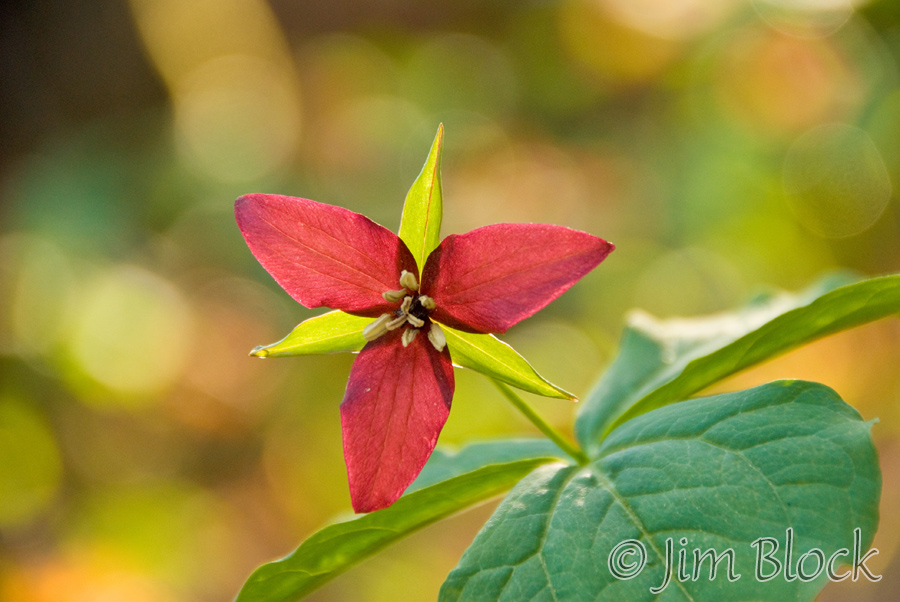
Along this stretch I photographed a Jack-in-the-pulpit and a purple trillium.
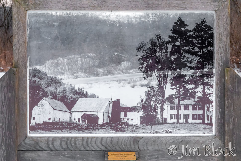
A substantial bridge crosses the Ompompanoosuc River and leads to Mystery Trail and some wonderful fields just north of it. In these fields one finds a plaque with a photo of a farm complex that once stood here. Below the photo is a plaque which states that this farm existed from 1858 until the early 1940s. The “last residents, the Cook family, raised cattle, turkeys, St. Bernard puppies, and of course many children.”
In the spring this area is frequently visited by birders.
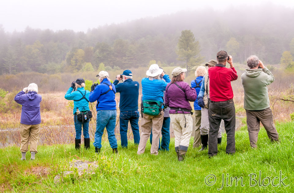
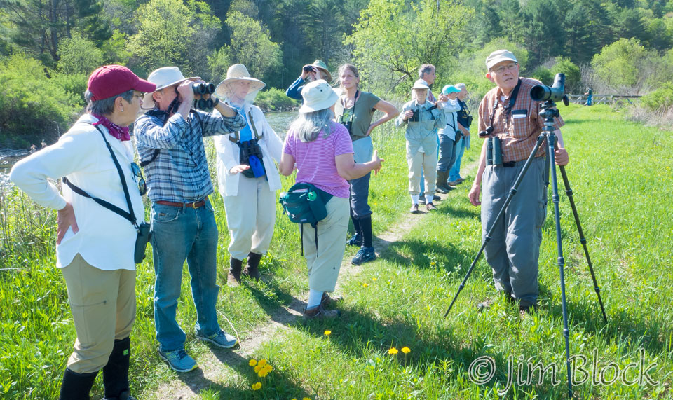
Here are a few photos of some of the birds I have photographed in this area.


Along part of the Mystery Trail is the “Lone Pine Quest”. It was created in 2000 by Bill Shepard, a great birder who lives nearby. It is one of the many Valley Quests in the Upper Valley of NH and VT designed for parents, children, and grandchildren.
A marker along the Mystery Trail points one toward an old mill site. Near that mill site are some nice rapids in the Ompompanoosuc River as seen in the two photos below. This area is also a great swimming spot in the summer, but these days there are signs urging “no nude swimming”.
One can also sometimes enter this area by the main entrance in Union Village and then drive over the dam. If the road over the dam is closed, one can park below and walk or bicycle across the dam.
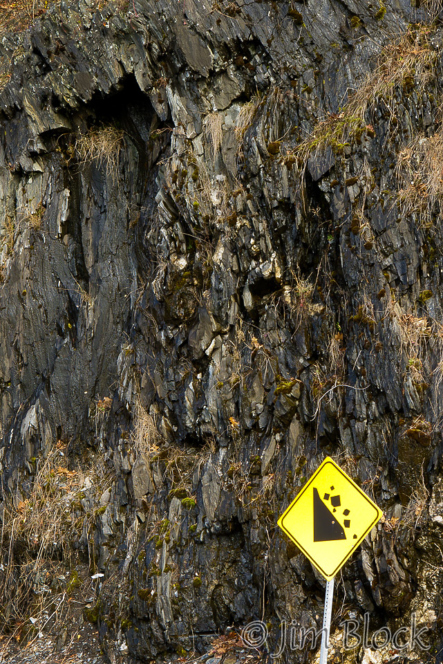
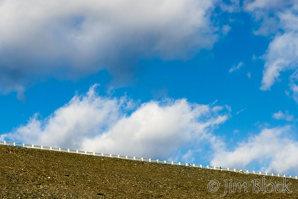
Below is a photo of the dam and one of a rock wall as one passes down the road behind it.
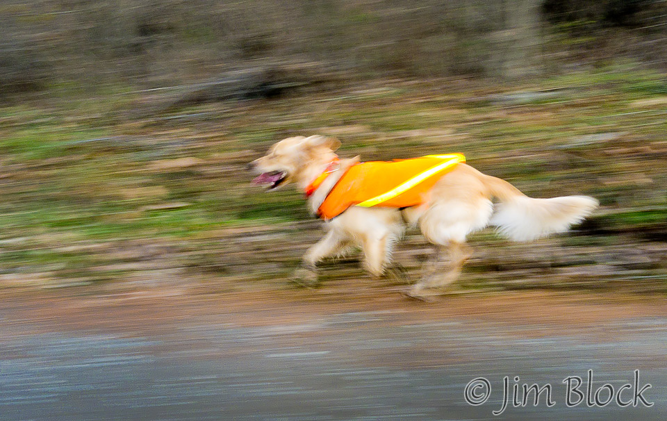
Along this stretch I got a photo of a dog in our small group running beside my mountain bike.
This entrance is at the south end of Buzzell Bridge Road. It then connects up with the trails described above after crossing the bridge near the Mystery Trail.
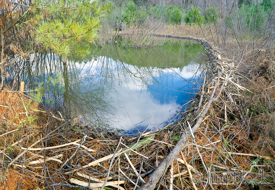
On one mountain bike ride we came across an interesting beaver dam in a wetland.
This is an area that is certainly worth checking out in any season. However, except perhaps in the summer, expect that the entrances will be closed. But that is no big deal because you have come with your hiking boots, skis, snowshoes, or mountain bike. And don’t forget your camera.