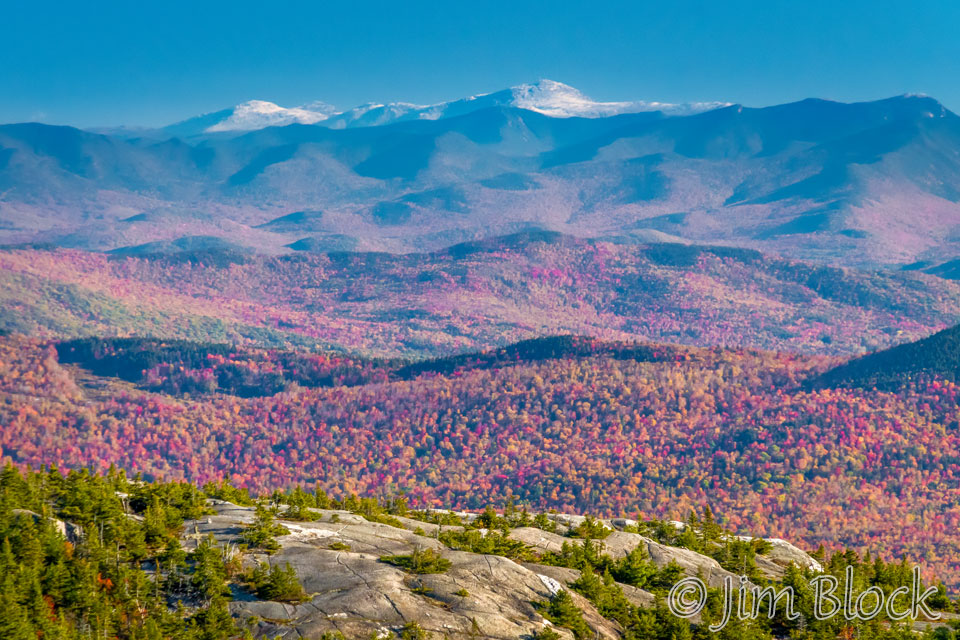
Mount Washington is seen in mid-October from the summit of Mount Cardigan in the photo below. The three peaks to the left of Washington are, right-to-left: Mounts Jefferson, Adams, and Clay. The peak at the far right of this photo is Mount Osceola.
Bruce and I hiked Mount Washington on an unusually warm late-September day. In fact, the highest temperature of the year at the summit of Mount Washington, 67 degrees Fahrenheit, was recorded the previous day. It had been snowing a few weeks earlier. The highest all-time record for the summit is 72F. When we got there it seemed like this day wasn’t far behind.
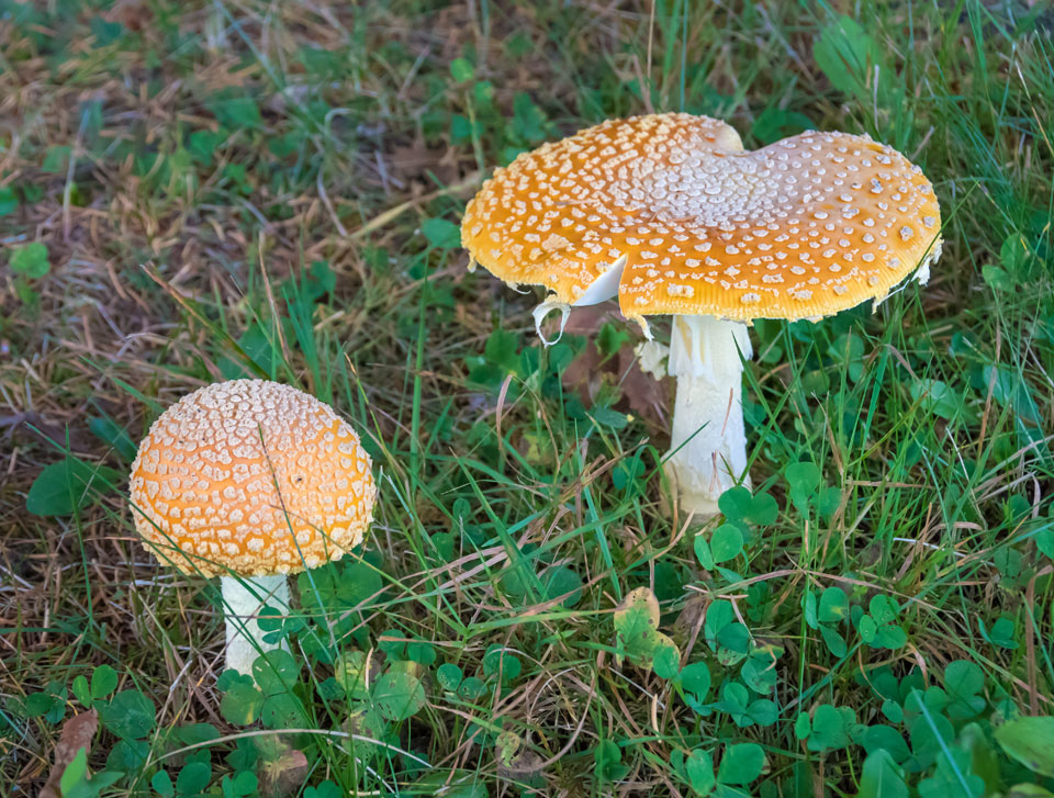
We hiked up the Ammonoosuc Ravine Trail from the trailhead about 3/4 of a mile below the Mount Washington Cog Railroad Station. I got this photo of Amanita mushrooms in the parking area at 7 AM just before we headed up the trail.
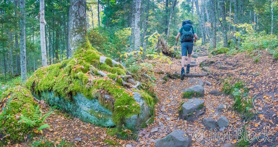
Ammonoosuc Trail
We walked the first two hours in the shadow of the mountains which made for excellent light for photography.
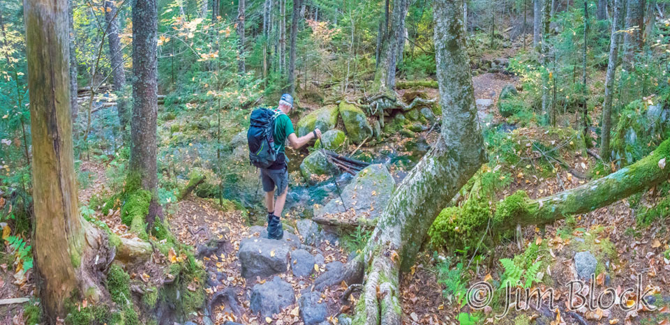
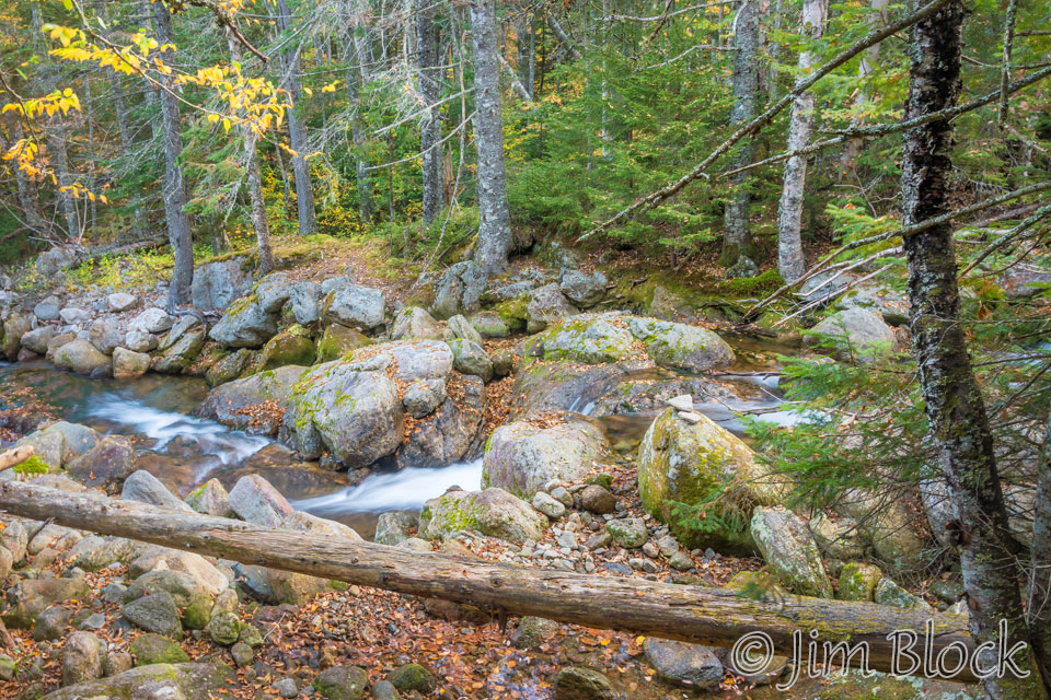
A short distance up the trail we crossed Franklin Brook.
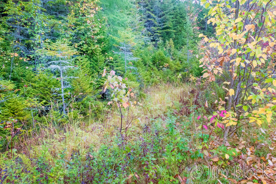
The trail climbed continuously upward through a beautiful forest.
Finally, at about 7:45 AM, we reached the Ammonoosuc River. We would follow it for almost 2 hours before turning south and heading steeply uphill toward the Lakes of the Clouds Hut.
The slide show below has some of the photos taken along the Ammonoosuc Trail during the next 45 minutes.
")


")

")
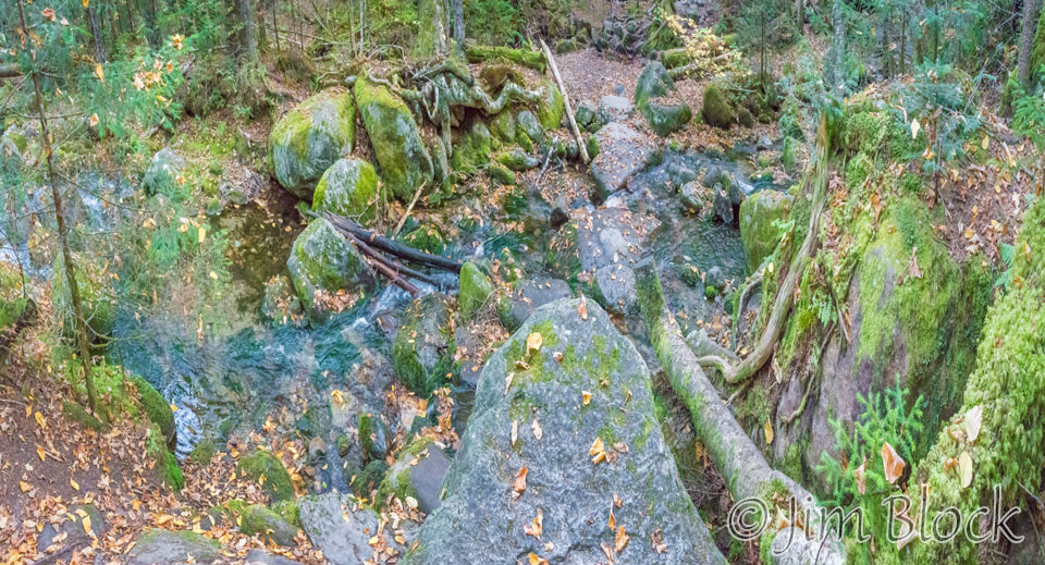
Around 8:30 AM we reached the beautiful Gem Pool where we crossed to the north side of the Ammonoosuc River.
")
")


")
Somewhat after 9 AM we were climbing along the river and crossing the river again.
")
")


The sun was beginning to reach us. Here are a two views down into the valley we came from.
")
")
Soon we would head south from the river. Here are our last few views of the Ammonoosuc River along the trail up.
")

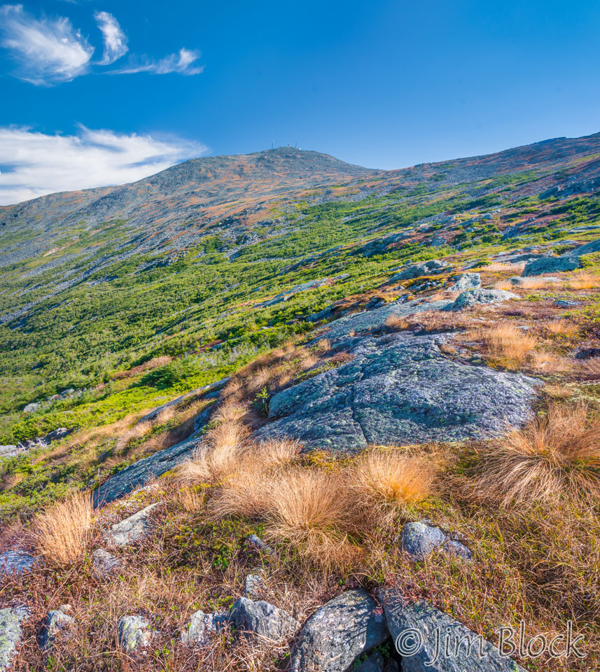
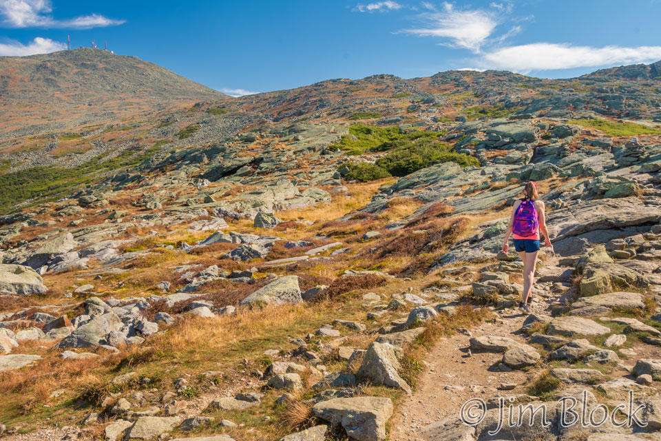
By 10 AM we were well above tree line, and Mount Washington summit came into view.
Lakes of the Clouds
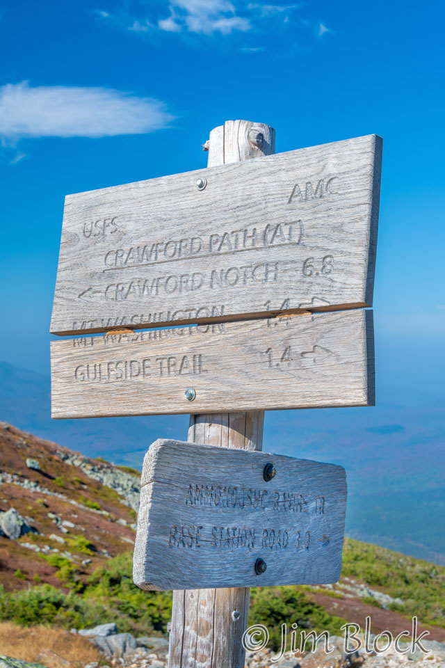
Three and a quarter hours into our hike we reached the Crawford Path and the closed-for-the-season Lakes of the Clouds Hut.
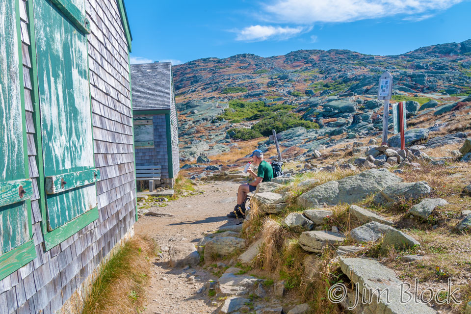
We met a young woman along the trail, who after walking past us, took a wrong turn at one of the tricky Ammonoosuc River crossings. But she eventually got back on the right trail and met us at the hut. Here she is continuing on toward the summit. It actually looks, in this photo, like the summit was fairly close. But we still had a strenuous 70 minute climb to go.
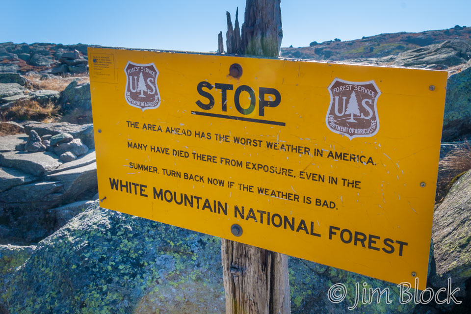
The part of the Crawford Path we were on can be extremely hazardous in bad weather.
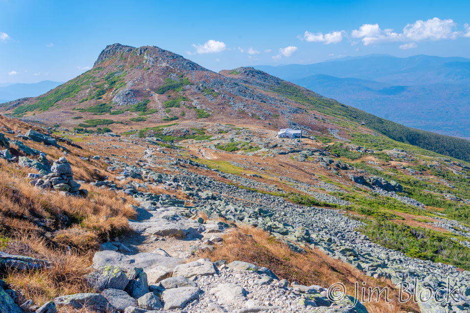
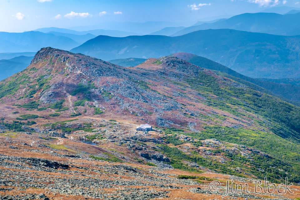
There are two Lakes of the Clouds. The larger one, which is closer to the hut, is the Upper Lake of the Clouds. It can be seen in the 25-photo image below with the 5372 ft Mount Monroe in the background and the Lakes of the Clouds Hut on the right-hand side of the photo.
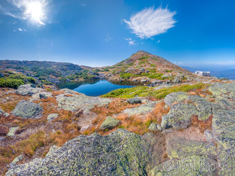
But I found the smaller Lower Lake of the Clouds more photogenic. Below is a 5-photo panorama of the Lower Lake of the Clouds with Mount Washington in the background. You might be able to see some of the towers on the summit of Washington.
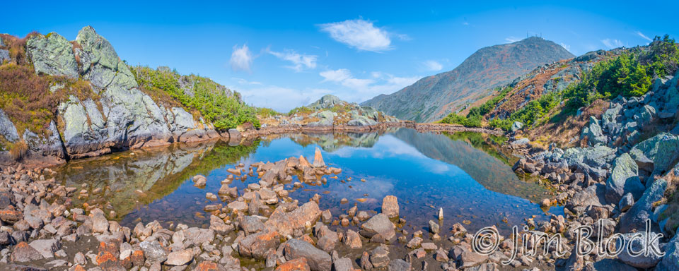
Here are three more photos of the Lower Lake of the Clouds.


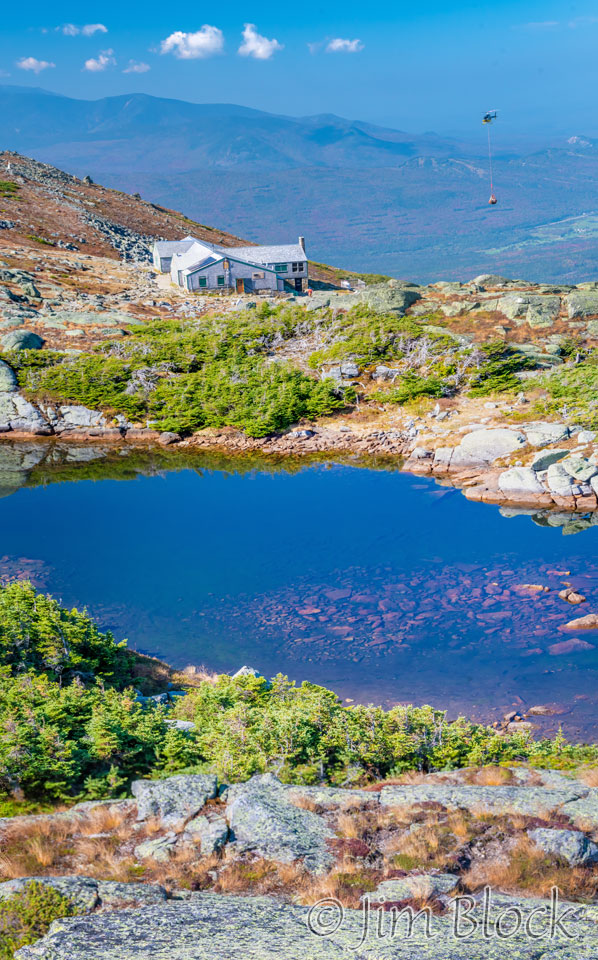
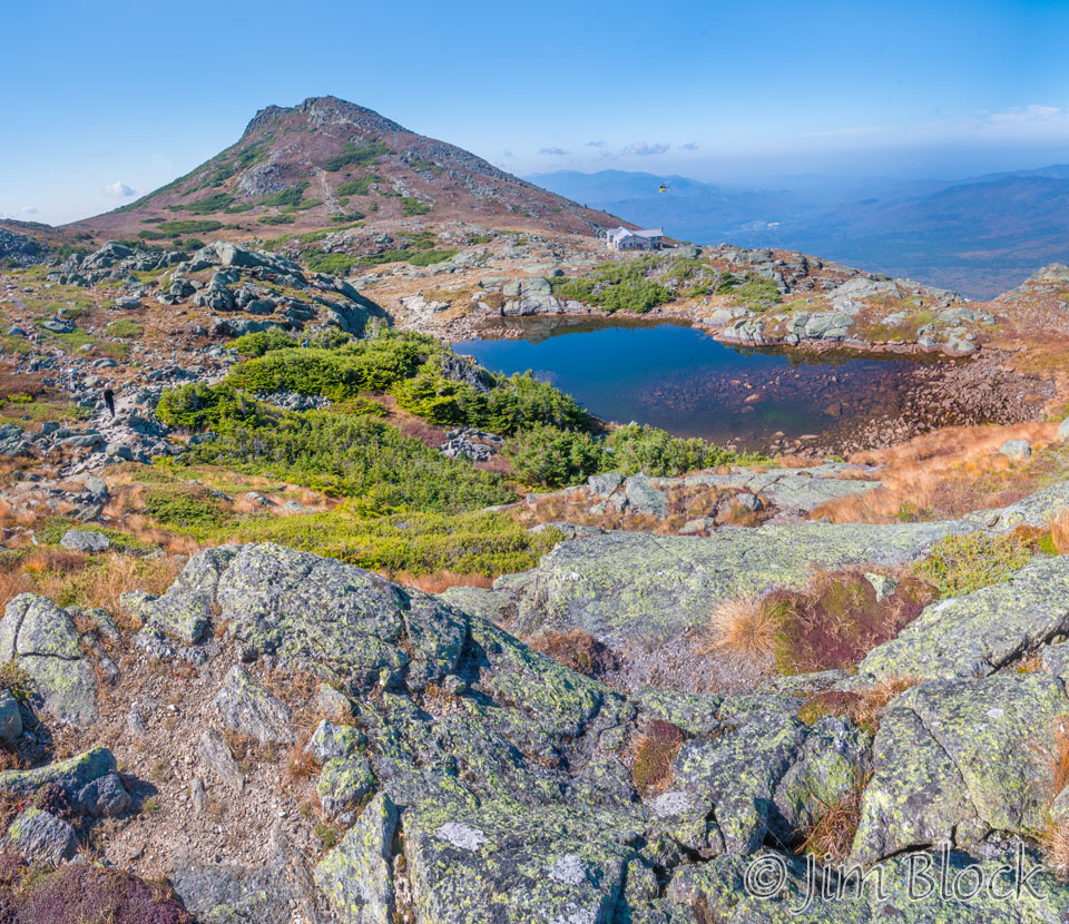
As we climbed above the Lakes of the Clouds, we saw a helicopter repeatedly bringing material to an area just below the hut for some apparently major project. You might be able to spot the helicopter in the left photo below. On the right is a view of the Lower Lake of the Clouds with Mount Monroe in the background.
We climbed higher. I got this photo looking back at the hut with Mount Monroe looming above it and the now visible 5000+ ft Mount Franklin to its right.
Crawford Path
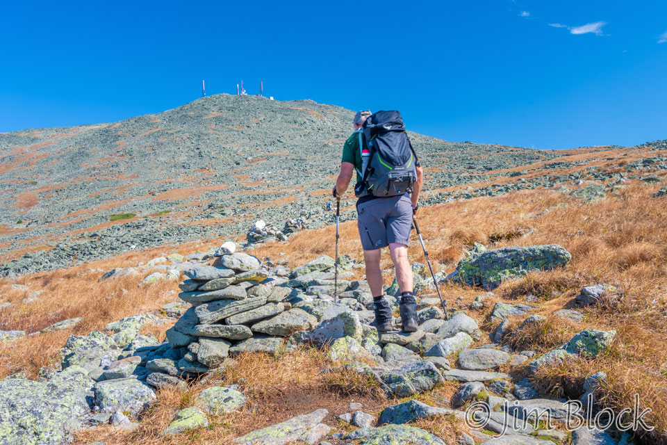
Bruce and I trudged along the Crawford Path toward the summit of Mount Washington.
According to the US Forest Service, the Crawford Path was originally built during the 1800’s and used as a horse trail over the southern Presidential Range to the summit of Mount Washington. In commemoration of its 175th anniversary, the Crawford Path was designated a National Recreation Trail In 1994. This 8.5 mile spectacularly scenic trail is the oldest, continuously maintained, hiking path in America.
Looking back, we could see the hut, Mount Monroe on the left, Mount Franklin in the center, and behind it the rounded summit of Mount Eisenhower. Bruce and I had hiked Eisenhower earlier in the season. Please check back for a page on our Eisenhower hike.
In the background of this 13-photo panorama you can see the many mountains and hills to the south. Three peaks can be seen at the very top right of this photo. The front is Mount Bond. Behind it on the right edge of the photo is Mount Liberty. And in the far back, almost invisible in the haze, is Mount Moosilauke and on its left shoulder Mount Jim!
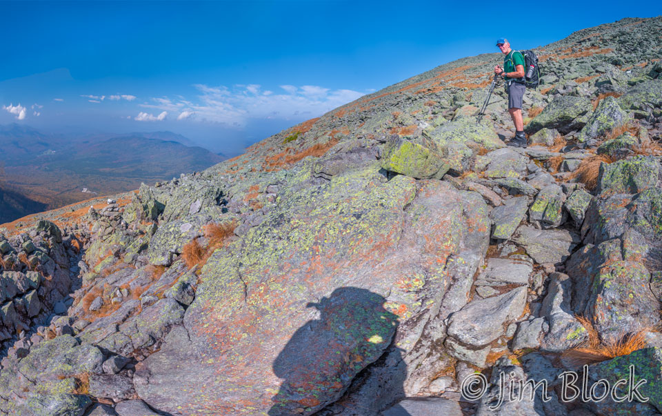
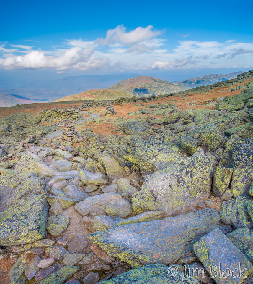
We climbed higher through some very colorful rocks, as in this 13-photo image.
As we climbed higher and higher we got better and better views south to the hut, Monroe, Franklin, and Eisenhower with the mountains to the south spread behind them. The light was dramatic. Here is a slideshow of some photos looking south from the Crawford Path.

")


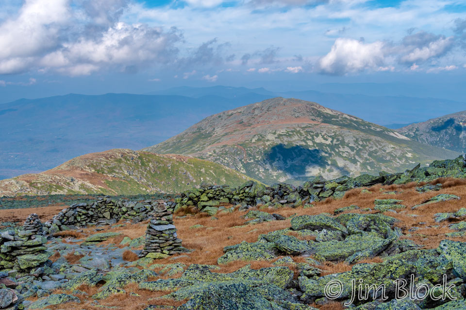
As we climbed higher along the Crawford Path I got some photos of Mounts Clay and Jefferson in the distance to the north.
They can be better seen in the photo below. Mount Clay is the smaller peak on the left and Mount Jefferson can be seen in the center right.
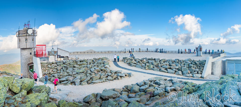
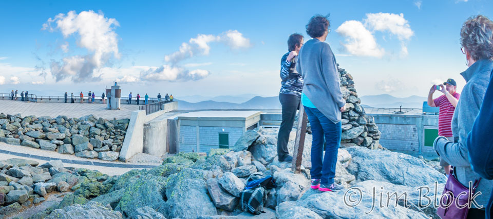
We reached the summit shortly after noon. We saw a lot of people coming up from the Cog Railway and the auto road from Pinkham Notch. Below is a 7-photo panorama taken near the summit. Below it are cropped versions of the left, center, and right of the panorama. The people at the right are on the highest point of Mount Washington, the man-made towers excluded.
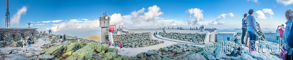
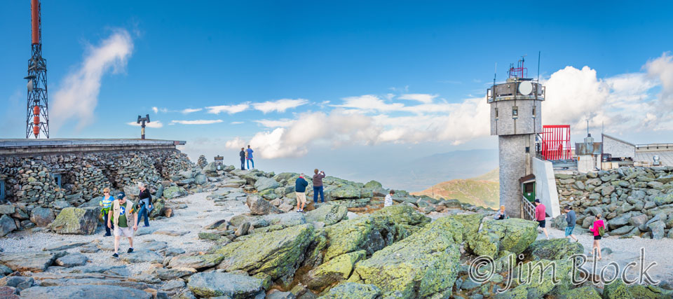
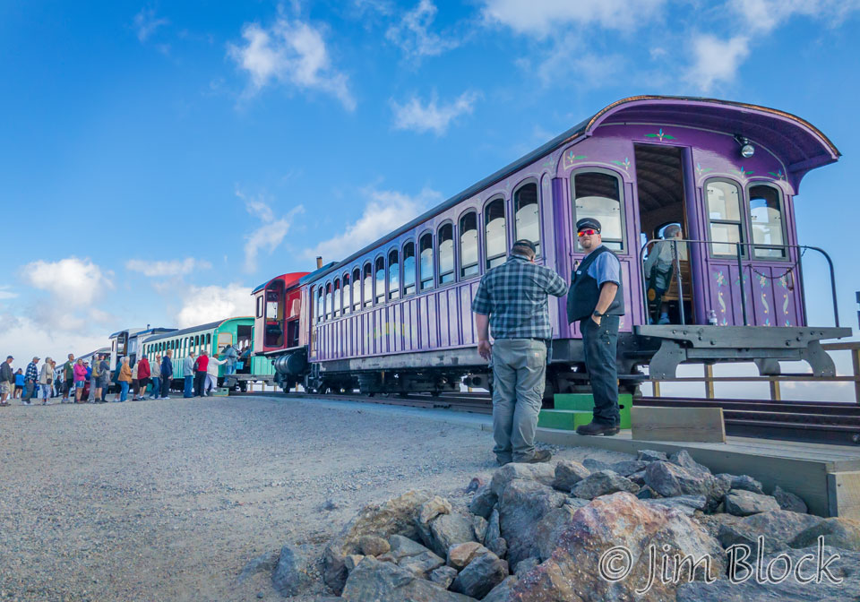
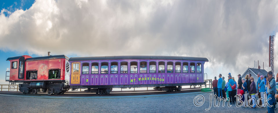
We were wearing T-shirts and shorts. Some people were also dressed similarly, while others had on parkas. I’m not sure why, because the temperature was well into the upper 60s. Here are folks lining up to take the Cog Railway down.
Heading Down
We descended from the summit along the Crawford Path, then took the Gulfside Trail and crossed the Cog Railway tracks.


")
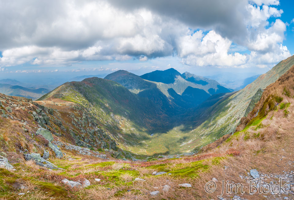
We reached the amazing Great Gulf Wilderness, a glacial cirque (amphitheater-like valley) formed by erosion. In this photo we see left to right, Mounts Clay, Jefferson, Adams, and Madison.
Here is a slideshow of photos of the Great Gulf Wilderness.
")
")
")
")
")

We took the Jewell Trail down. It was long. At one point we thought we were near the end but discovered we still had several miles to go. The highlight was a visit from a friendly Gray Jay who stayed long enough for a few photos.

