The name Golden Circle is a marketing term for a popular tourist route near Reykjavik. It is derived from the name of Gullfoss, which means “golden waterfall” in Icelandic. Gullfoss is one of the three main attractions, the others being Þingvellir National Park and the geothermal area in Haukadalur, which contains the geysers Geysir and Strokkur. Of the three, I found Þingvellir National Park the most varied and spectacular.
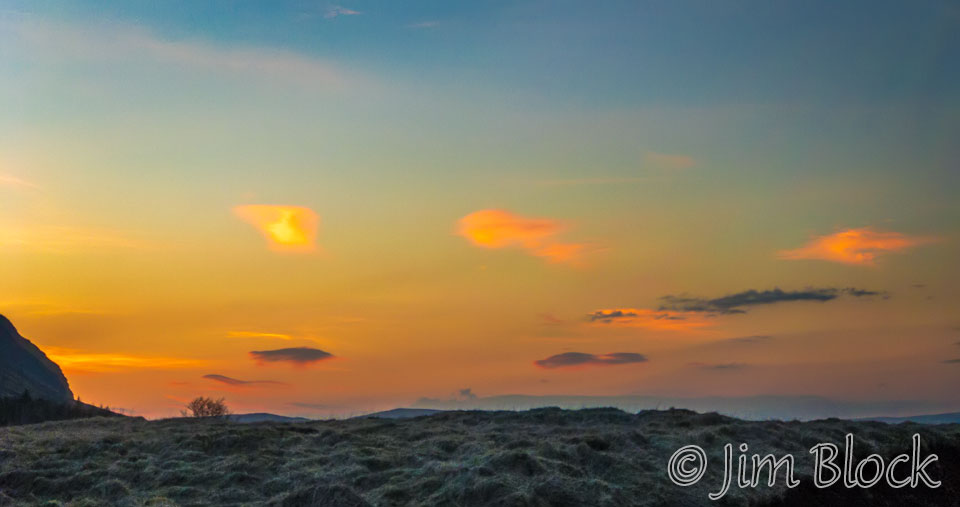
We saw one of the few colorful sunrises of the trip from our lodge just outside Selfoss. This photo was taken at 5:34 AM.
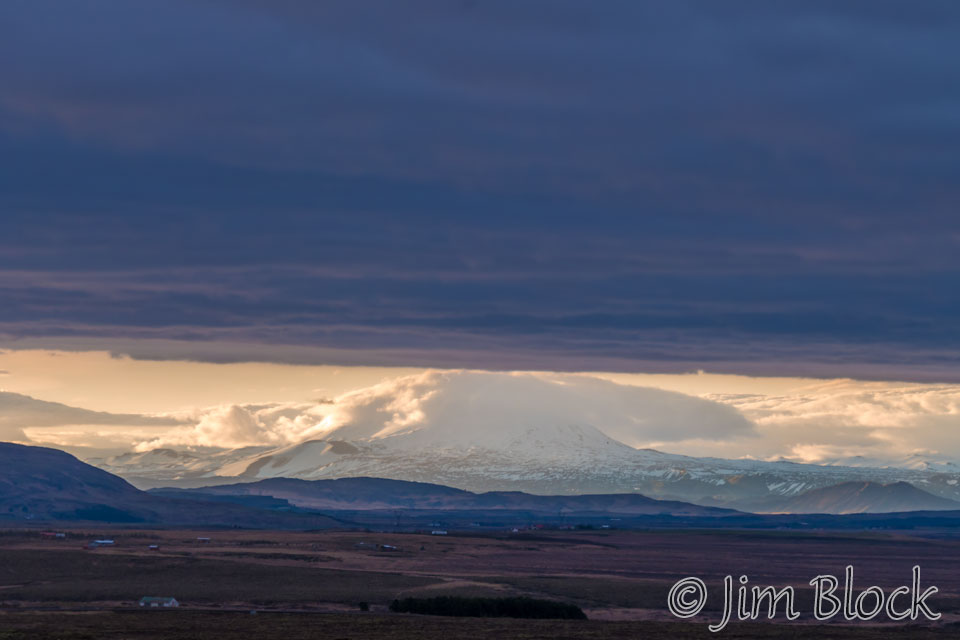
Somewhat before 6 AM we headed Northeast up route 35 toward Gullfoss. The clouds were hanging low over Syðstasúla (3585 ft).
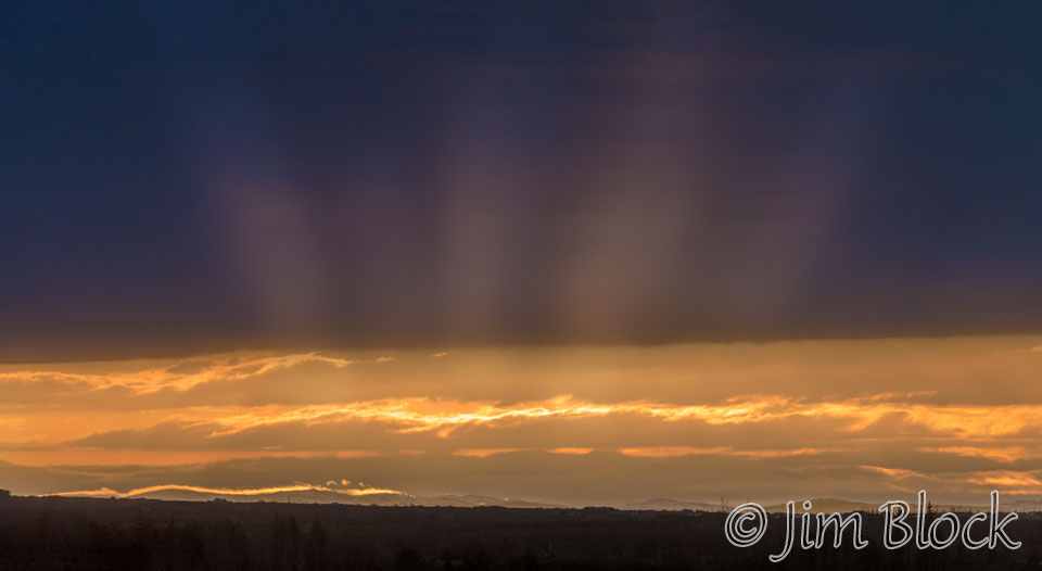
It was Marc’s turn to drive so I was able to make some photos out the car window as we traveled to Gullfoss.


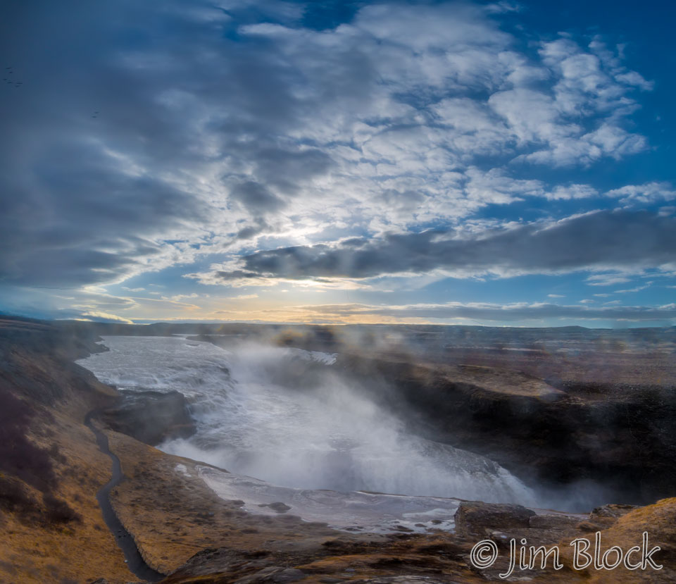
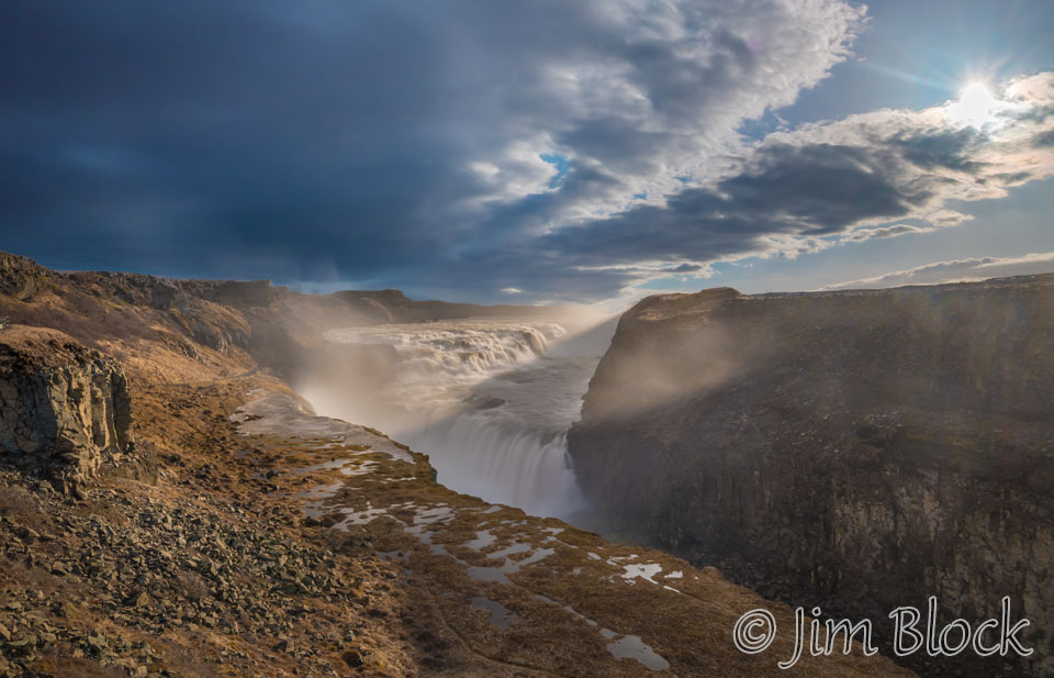
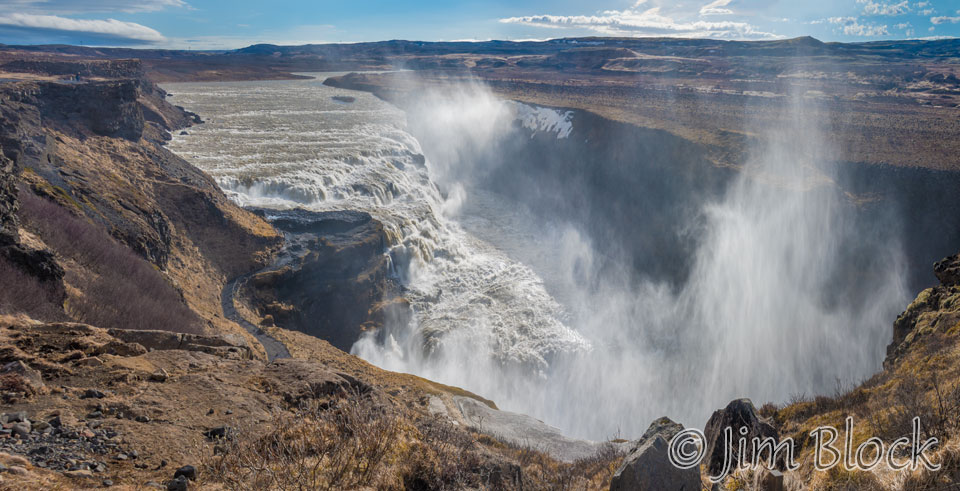
We got to the falls before 7 AM. I made a quick four-photo panorama before the sun got too high.
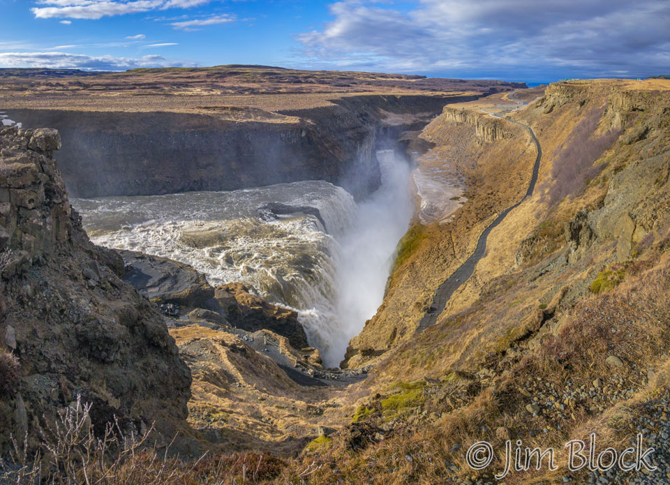
We headed to a different viewpoint — there were many, though some were closed. Below you can see the multi-step cascade in the Hvitá River just before a 90° bend into a deep canyon.
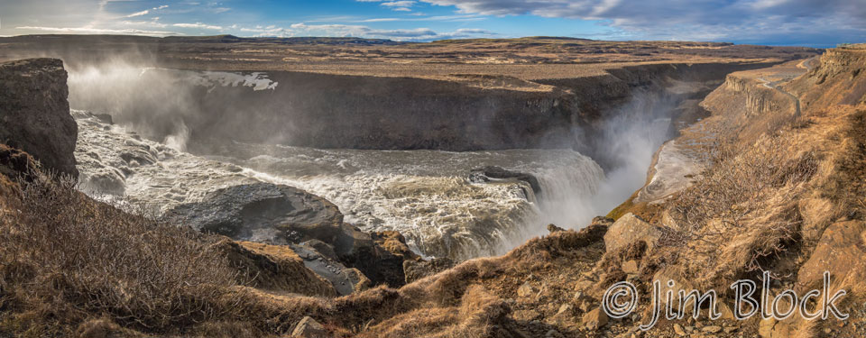
Below is a five-photo panorama that gives a somewhat different view of the falls.
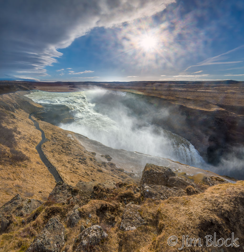
As we moved to different viewpoints I decided to use my iPhone for another five-photo panorama.
I also made a six-photo image with my phone which shows the canyon downstream of the largest fall nicely.
The previous day we struggled to keep our cameras and lenses dry in the too-frequent drizzle. This morning we would have the same problem, but this time the wetness was from the spray from the massive falls.
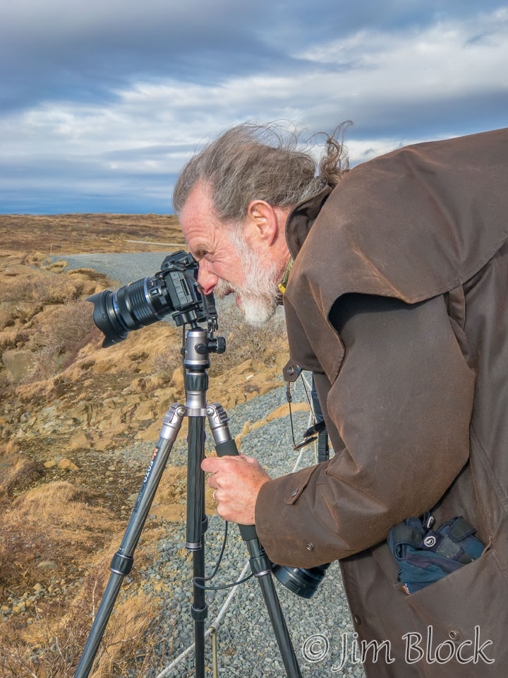
Marc was also hard at work capturing the falls.
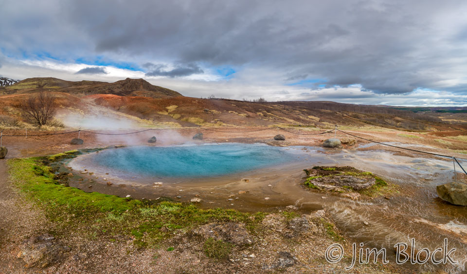
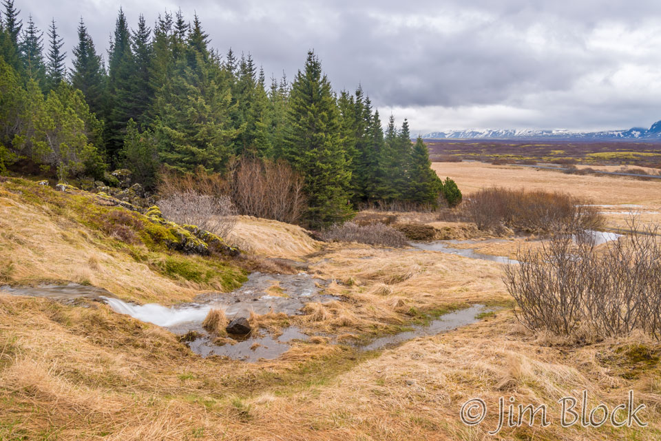
We headed next to Geysir, a somewhat underwhelming area. The main geyser, Geysir, seen below, has been mostly dormant for many years. Along the way we stopped to photograph a farm and an interesting stream.


Here is the main geyser, Geysir. Certainly no action while we were there.
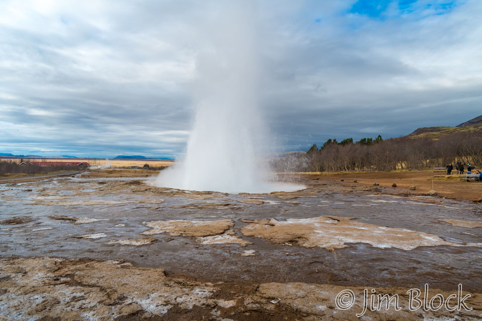
But the nearby geyser, Strokkur, erupted every 5–10 minutes.
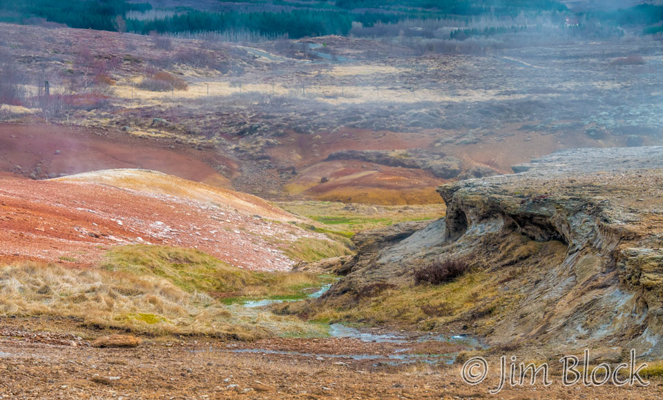
The colored earth in this area was as attractive as the geyser. In the background you might be able to see some of the very few trees in Iceland.
The drive to Þingvellir National Park was quite interesting. We stopped at a number of places to photograph farms, horses, landscaped, and flying whooper crane.


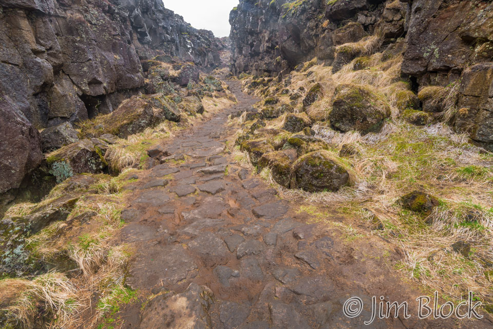
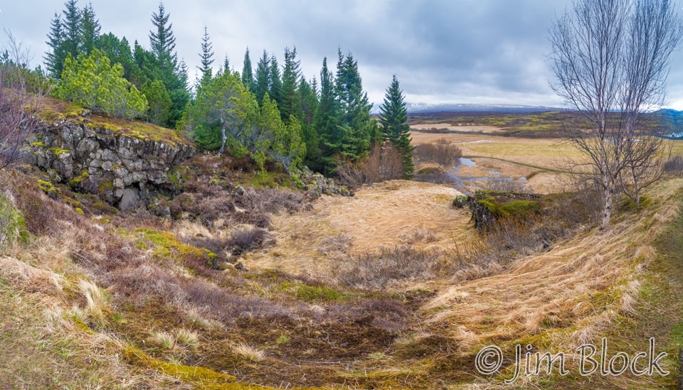
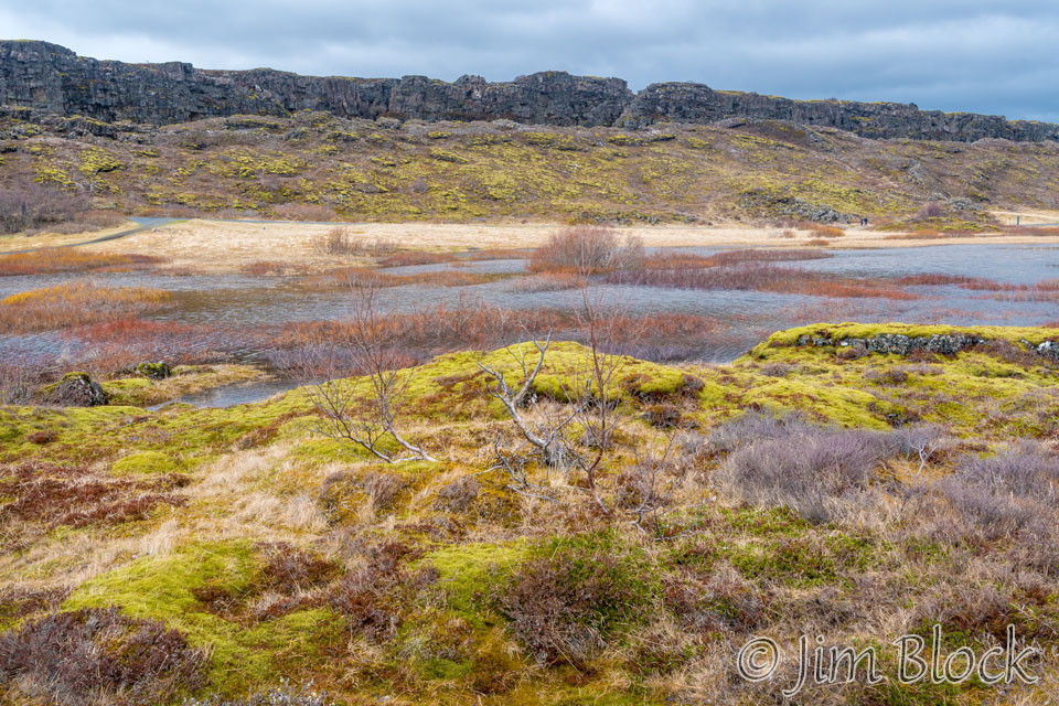
Þingvellir National Park is an amazing place. It is the only UNESCO World Heritage Site on the Icelandic mainland. It was listed as a UNESCO World Heritage Site in 2004 for its geological uniqueness and historical significance. In the park one walks along a “canyon” between two walls, as seen in the two photos below.
But many might not realize what the walls are — they are on two different continents. On the left is North American and on the right is Europe. These walls are moving apart at a rate of about 1 in./year.
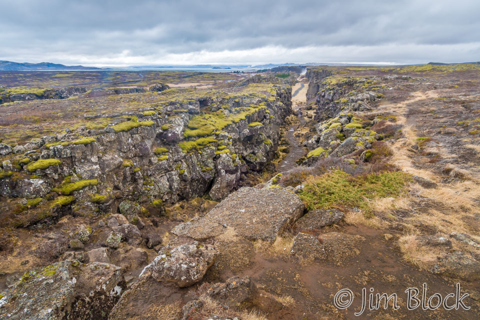
Iceland is divided by the Mid-Atlantic Rift; some parts of it, such as the Westfjords and Reyjavík, are on the North American tectonic plate, while others, such as Vatnajökull glacier and the East Fjords, are on the Eurasian plate. Iceland is the only place in the world where this rift is above sea-level, and nowhere can you see the edges of both plates as clearly as in Þingvellir.
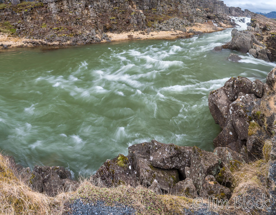
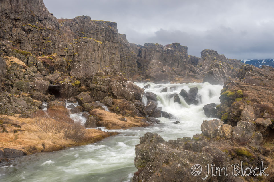
Flowing over the European plate is the waterfall, Oxarafoss. Here are five photos as we move in closer to it.


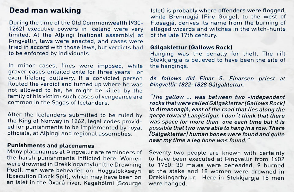
The history of this place is fascinating. Below is a photo of a plaque giving a brief summary. If you want to read more, THIS SITE has some very interesting details.
From another site I got some help pronouncing the name of the park, Þingvellir. To paraphrase, the letter Þ, that many refer to as “the long P”, is pronounced “TH” and then it is the double “L” that requires you to make some kind of a click sound in the right side of your mouth to fully get it right. Pronouncing the word, it’s best to split it up and try saying something more along the lines of “Thing-vedler”.
Entering the rift from the North American side one gets this view back.
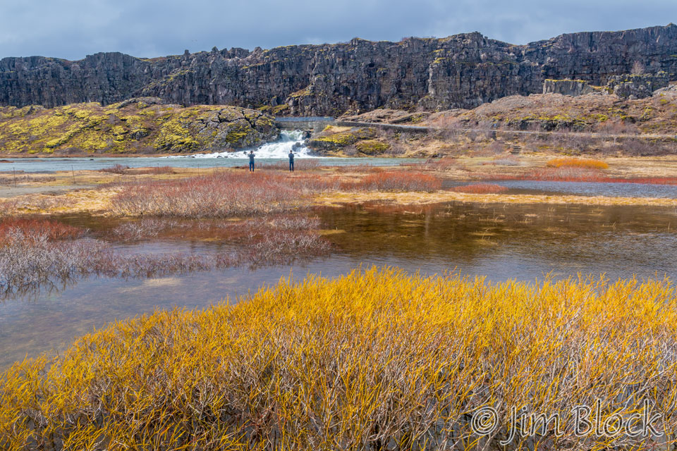
Hiking past the waterfall one gets these views looking back up the Oxara river.
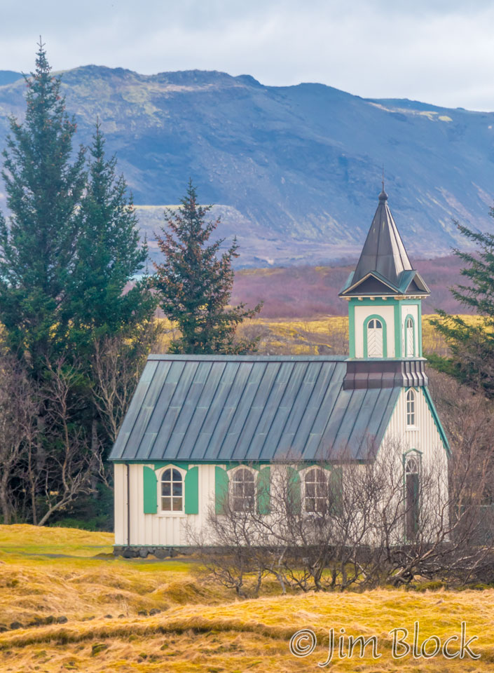
Continuing on one can reach the Thingvallakirkja church.
Crossing the Oxara “mouth” and looking back one get this view of the walls forming the two continents. The first photo was taken with my iPhone.
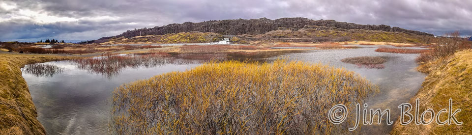
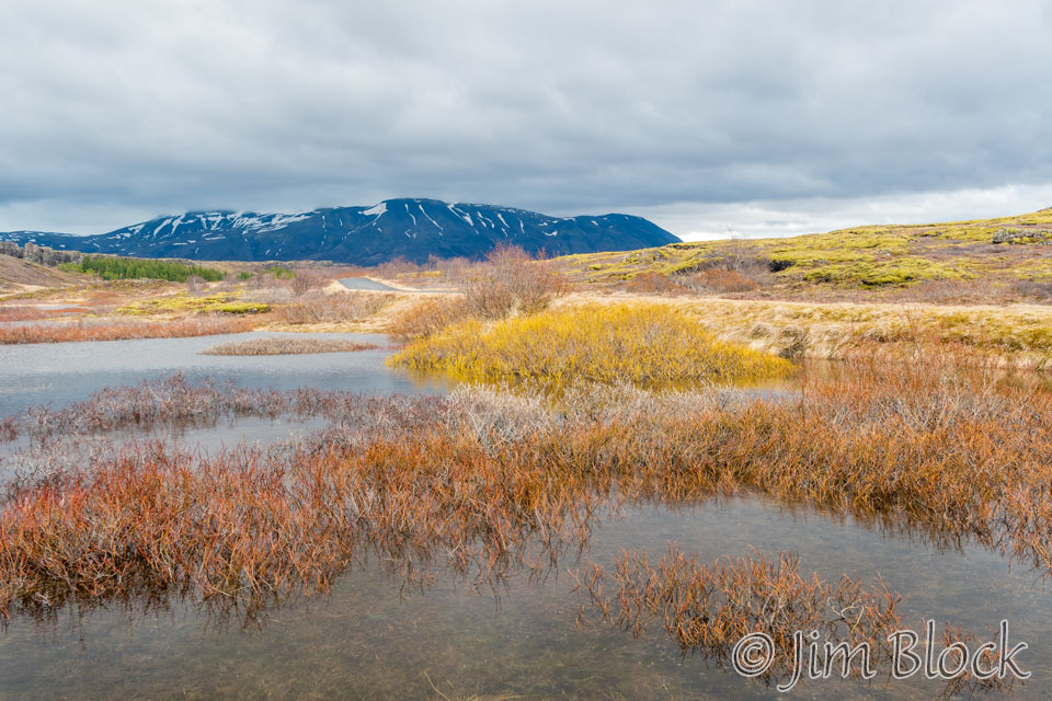
Below are two more photos from the area where the river spreads wide.
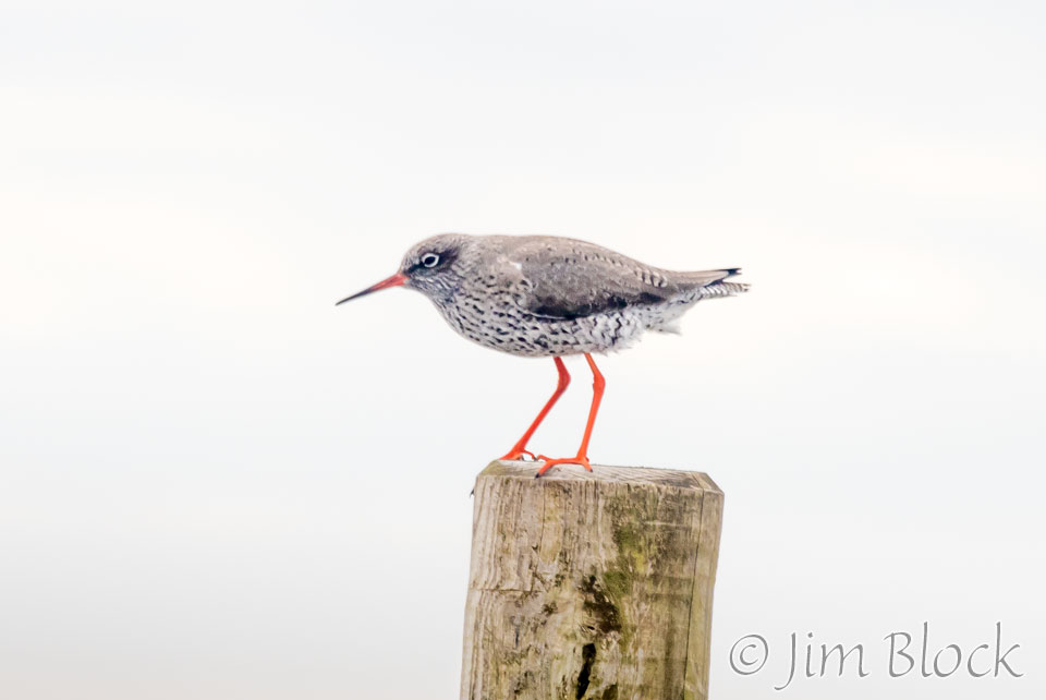
There is wildlife in the park. During our short stay we were able to photograph Redwings, a European thrush, and beautiful Black-tailed Gotwits.


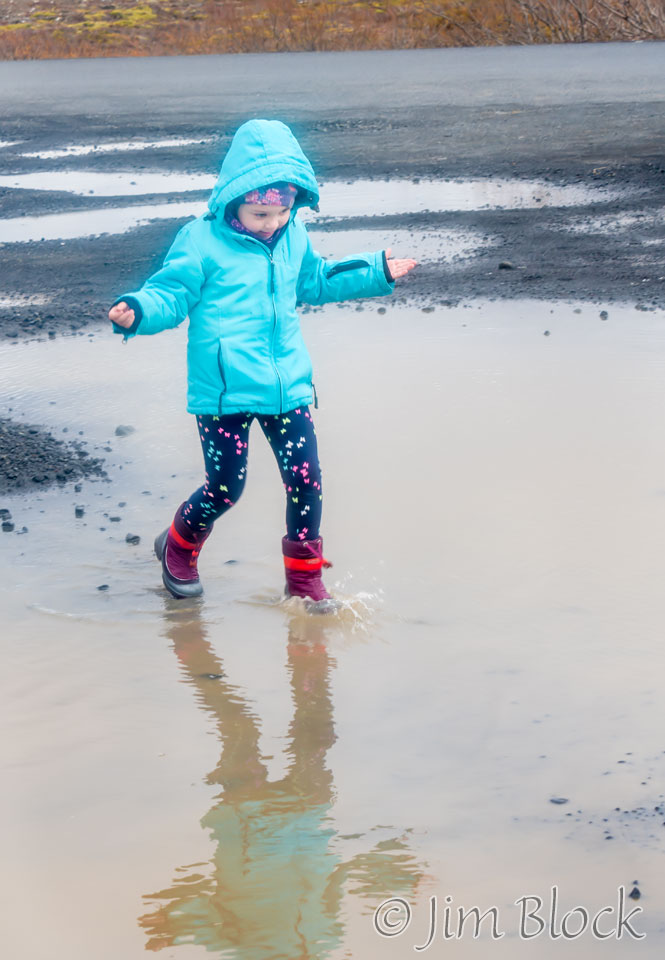
When we got back to the parking lot, a young girl was playing in the puddles and really enjoying herself.
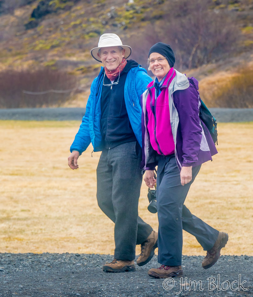
Then we found a note under our windshield wiper. It was from Martha and Stephen who had taken a challenging hike that morning and now were in the park. They recognized our rather distinctive car.
I saw them approaching in the distance. I waited until they were close and noticed us and then got this photo of the cheerful couple.
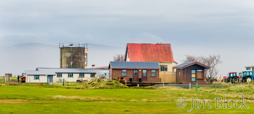
It was only mid-afternoon, so we decided to visit an area not normally part of the Golden Circle, but fairly nearby, the Floi Bird Reserve in Eyrarbakki. Heading there I got a photo of a farm, a version of the photo somewhat simplified to minimize detail, is below.
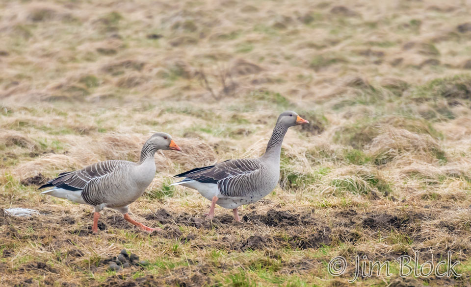
Near the farm were some Graylag Geese.
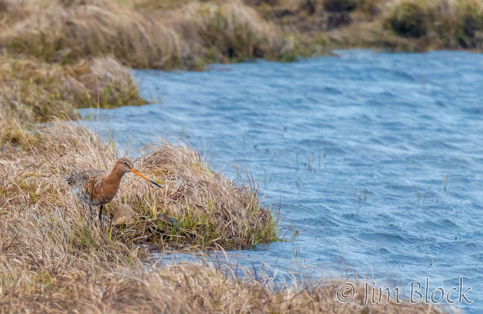
The Floi Bird Reserve was a bit disappointing, but I did get a photo of a Black-tailed Gotwit and a Redshank.
The trip to Eyrarbakki did get us some nice views of horses.


It was Marc and my turn to buy and cook dinner, so we stopped at the best grocery store in Iceland — the best one we found in any case — in Selfoss. On the way to the store there was an interesting stop light. The panorama of the store was taken with my iPhone.


We saw a bit of color in the sky at 10:15 PM.