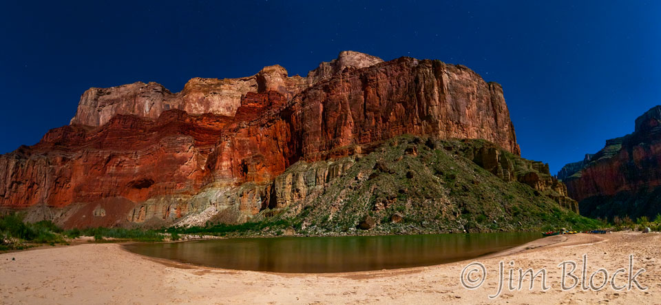
What was that bright light at 2 AM? An almost full moon. Time for a photo, but not of the moon. I rolled out of my bag onto the soft sand, set up my tripod, and made a 6-shot panorama of our beach, the river, and the buttes across the river. The photo here is the result — looks almost like daylight. Some of the white dots in the sky are not dust on your monitor.
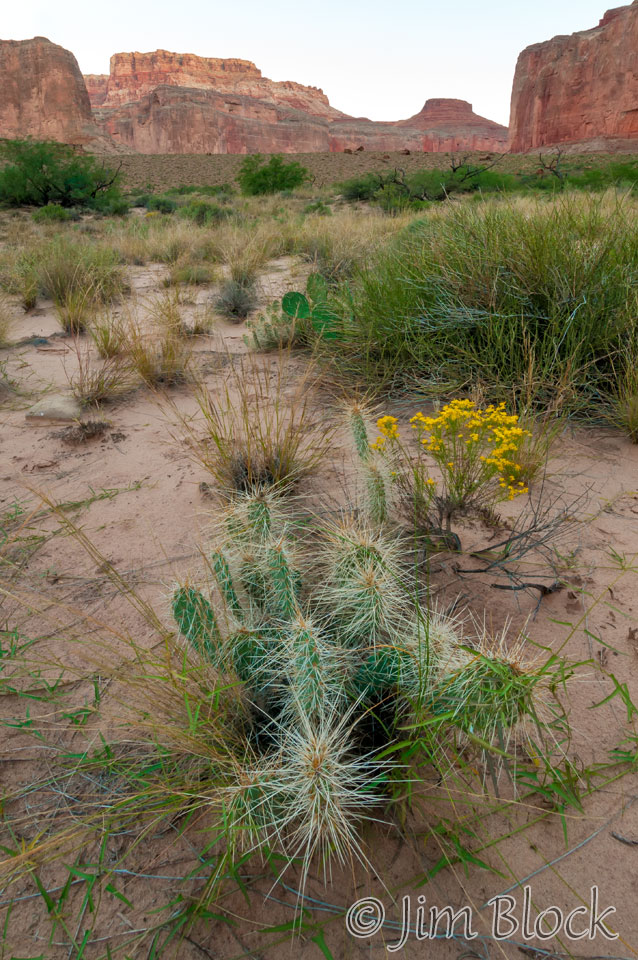
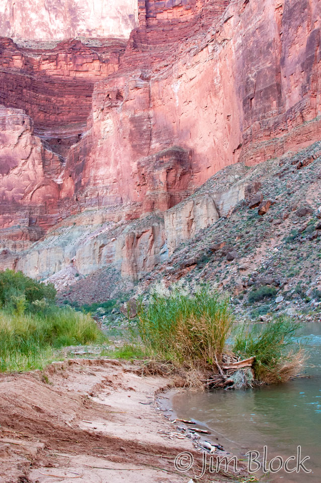
I hiked a bit above our beach to make some photos before breakfast. Below left is one of them. Below right is a beaver lodge (at the back right of this small beach) and beaver tracks that Pat told me about. He saw the beaver while fishing, but I had no such luck.
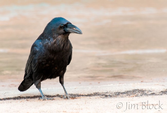
The afternoon before a raven had gotten into my bags while I was up at the Nankoweap Granary. I got my revenge this morning by taking its photo.
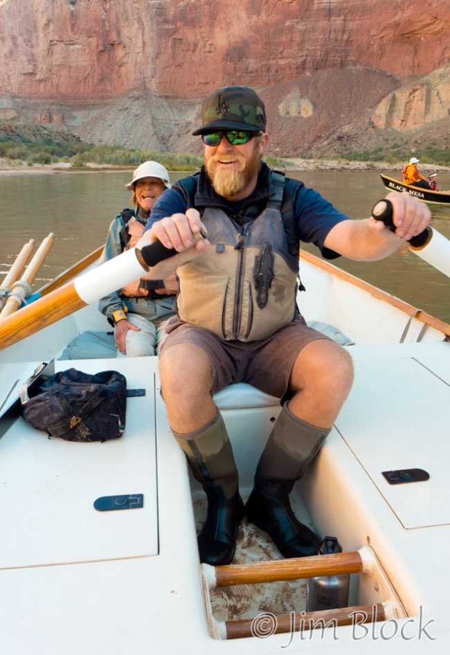
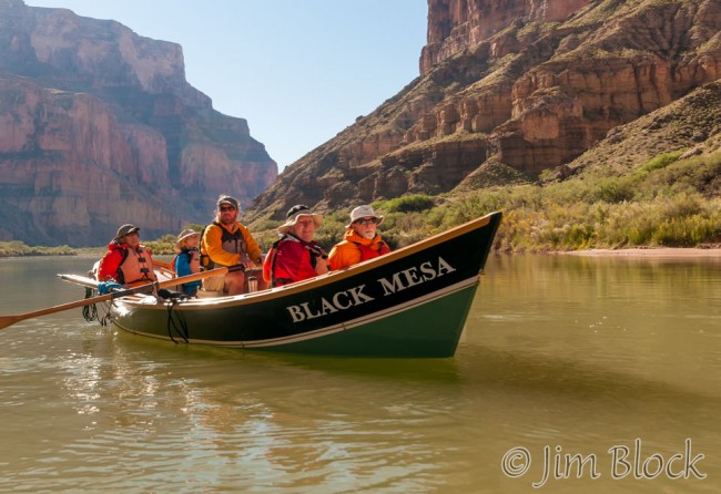
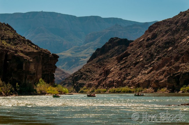
I rode with Duffy today and photographed Nick in his dory, Black Mesa.
In the above two photos you might notice Duffy’s change of outfits between 9 and 10 in the morning.
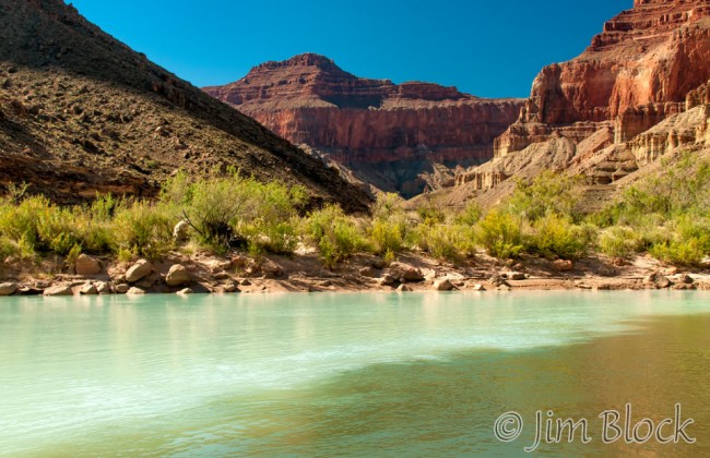
Nick had mentioned the night before that we would see the Little Colorado River this morning. I thought, big deal, we saw it from a bridge the morning we drove to Lees Ferry and it was dry. It sure didn’t look like much. But that was well “upstream”.
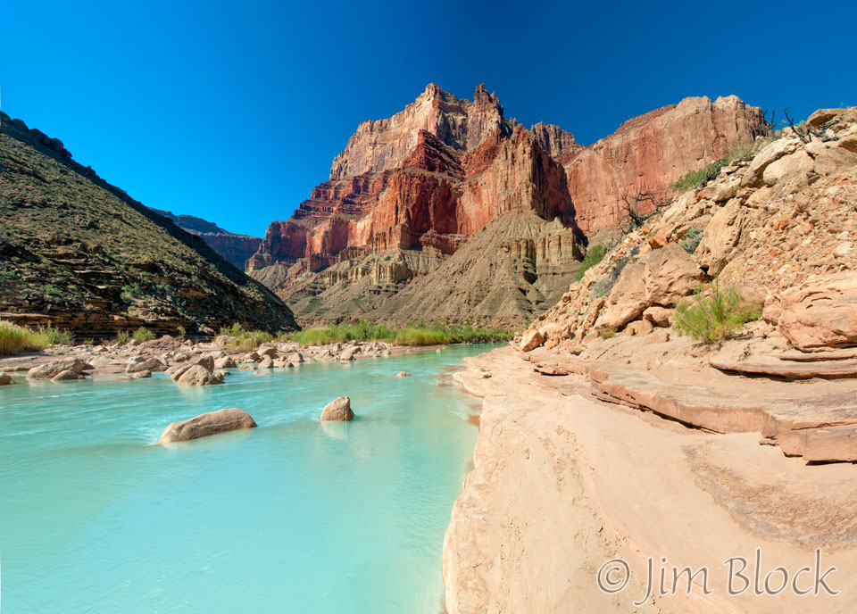
The first thing I noticed about the Little Colorado River (LCR) as we approached was its color, a brilliant light blue-green/turquoise caused by dissolved travertine and limestone in the water, similar to the very beautiful Havasu Creek which we would visit on Day 14 of this trip. We were very fortunate that it had not rained for weeks because rain turns the LCR a muddy brown as it does the Colorado River and Havasu Creek. That was what Powell saw in 1869. He wrote, “It is a loathsome little stream, so filthy and muddy that it fairly stinks. … [The Little Colorado was] as disgusting a stream as there is on the continent … half of its volume and 2/3 of its weight is mud and silt.” Not so when we visited as you can see from the photos here and in the slide show at the bottom of this page.
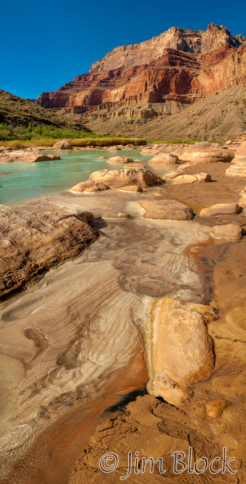
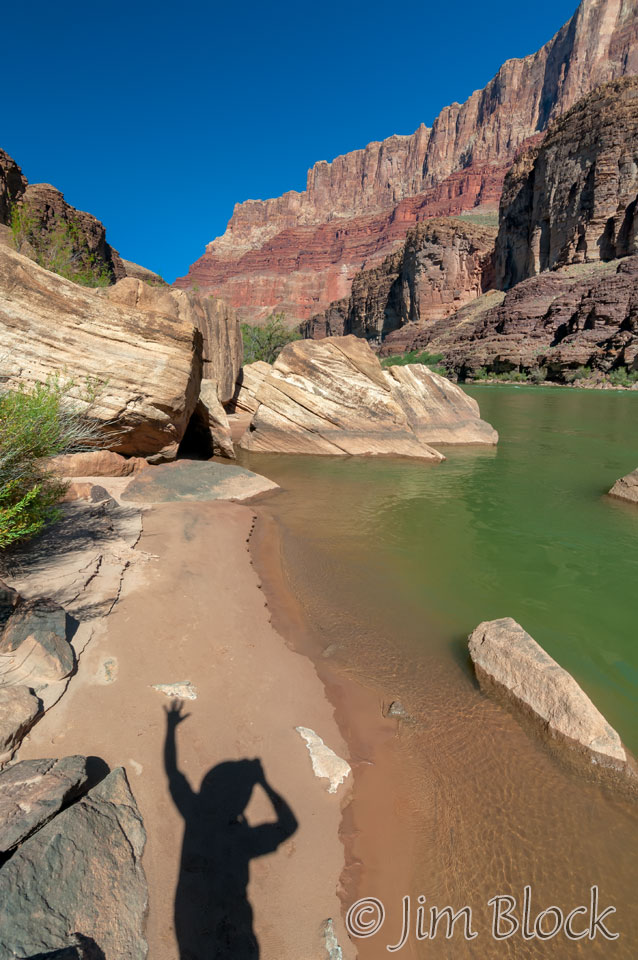
We walked upstream. I was madly taking photos because I guessed, correctly, that our time here would be too short.
")
")
")
The photo below looks back downstream at Chuar Butte, the final resting place for a Douglas DC-7 that was United Air Lines Flight 718. It crashed just ten feet below the summit of the south face after colliding at 21,000 feet with TWA Flight 2 on June 30, 1956.
As we cruised downstream from the LCR we could spot the Desert View Watch Tower high above us on the south rim, seen at the very top left of the left photo below — that tiny bump.
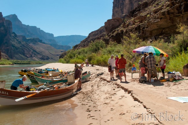
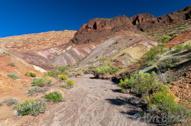
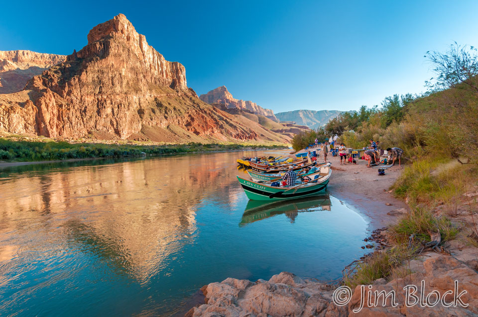
We stopped at Carbon Creek for lunch — the creek was dry.
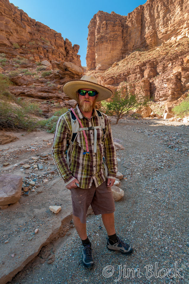
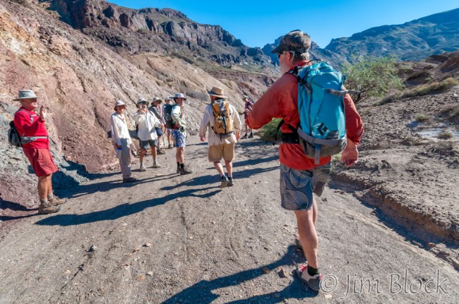
It was actually less than a mile by river from Carbon Creek to our campsite for the night. But our leader made us walk. Up Carbon Canyon, over Chuar Lava Hill, and down Lava Canyon — over 4 miles in total — to our camp for the night at Lava Chuar. Before we set out I couldn’t resist playing around a bit. Then I got a shot of Duffy as he led the group up Carbon Canyon.
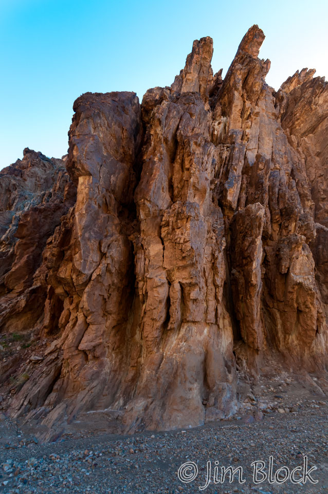
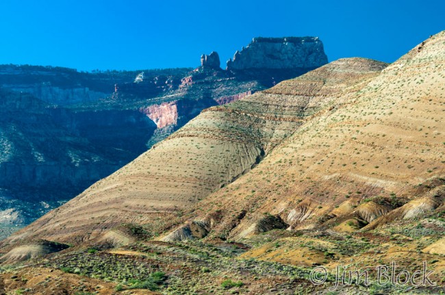
Up the canyon we climbed. At the “top” a broad valley opened up with views of the north rim. The geology was fascinating.

")
")


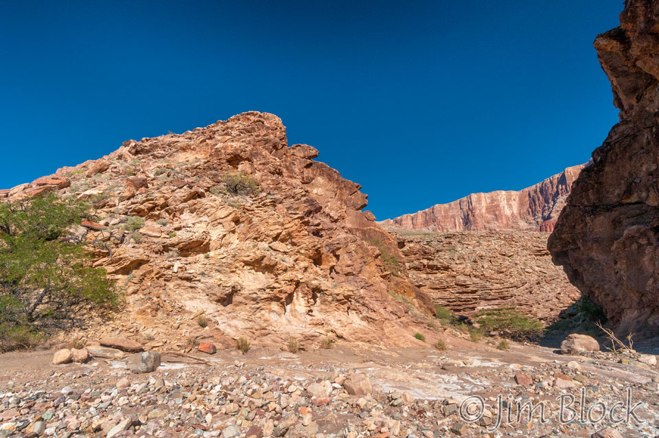
When we reached the top of the canyon we could see the fault and the north rim. The jumbled mess in the foreground below is part of the fault.
While we walked, half of the crew, and some of the guests, floated down to Lava Chuar Camp with half of the boats. The boatmen then walked the 4 miles backwards to get the rest of the boats. Here are Roger and Nick walking backwards toward me.
The scenery in the valley was beautiful and very different from what we had seen along the river.
Back at camp I couldn’t resist photographing Dick fishing with those amazing reflections behind him. About the only thing he caught was …
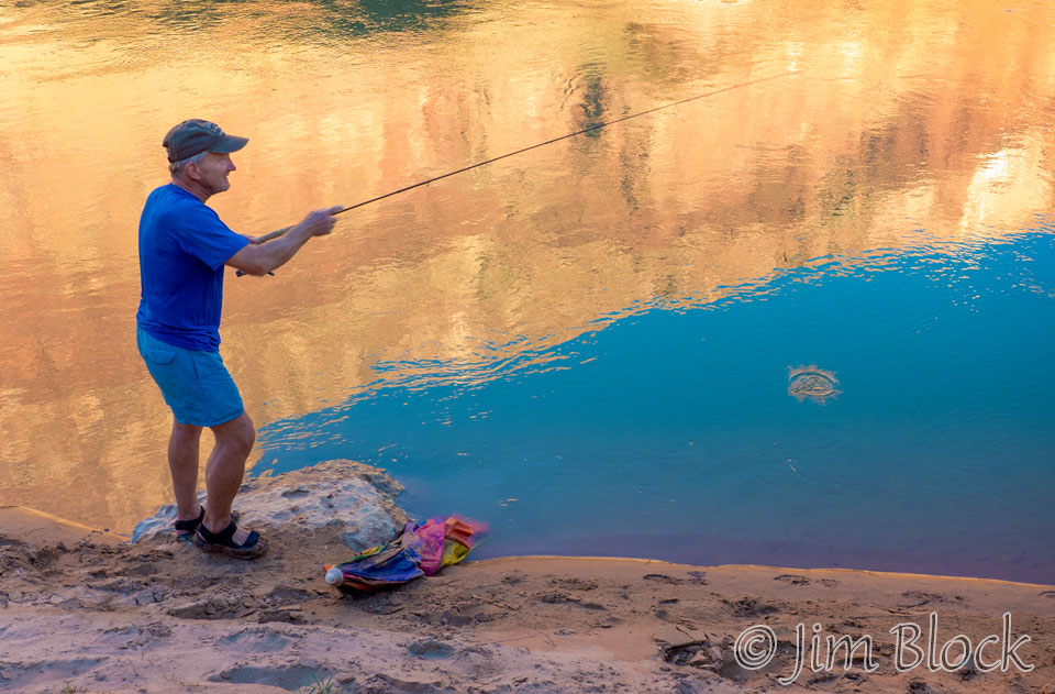

… an old camp umbrella.
The beach at Lava Chuar was small, but there were great sites in the bushes behind.
Please enjoy the slide show below from this day before moving on to our next outstanding day on the river when we will run a few significant rapids and tour the widest part of the canyon.


")
")
")

")
")


")


")


")


![]()